만자노 산맥 최고의 러닝 경로
5.0
(2)
334
달리기 하는 사람
60
러닝
만자노 산맥에서 하이킹하며 토랜스 카운티에서 구석 부분까지 살펴볼까요? 만자노 산맥에 있는 모든 하이킹 및 워킹 경로 컬렉션 중 가장 멋진 하이킹 경로를 엄선하여 소개해드릴게요. 다른 하이커가 공유한 실제 팁과 사진을 살펴보고 후기를 읽으며 마음에 드는 만자노 산맥 워킹 경로를 찾아보세요.
마지막 업데이트: 9월 26, 2026
10
달리기 하는 사람
6.84km
01:14
360m
360m
The Piedra Lisa South Trail offers a challenging jogging experience through varied landscapes. You'll start with gradual ascents in piñon-juniper woodlands, transitioning into a denser ponderosa pine forest as you…
5
달리기 하는 사람
4.44km
00:34
100m
100m
Embark on the U Mound and Foothills Trail Loop for an easy jogging experience through the scenic Sandia Foothills Open Space. This route covers 2.8 miles (4.4 km) with a…

2
달리기 하는 사람
6.96km
00:52
110m
110m
Lace up for a moderate jogging loop through the Sandia Foothills Open Space, offering a quick yet invigorating workout. This 4.3-mile (7.0 km) route takes about 52 minutes to complete,…
1
달리기 하는 사람
6.70km
01:01
170m
160m
The North Crest Trail offers a challenging jogging experience through the Sandia Mountain Wilderness. You'll navigate rocky singletrack and dense forests, with aspens, pines, and junipers creating a varied landscape.…
1
달리기 하는 사람
22.6km
03:59
1,190m
1,190m
Embark on a difficult jogging adventure along the North Crest Trail, a demanding route that spans 14.0 miles (22.6 km) and climbs 3914 feet (1193 metres) in elevation. Expect to…
1
달리기 하는 사람
5.31km
00:52
270m
270m
Prepare for a challenging jogging experience on the Three Gun Spring Trail Loop, a difficult route spanning 3.3 miles (5.3 km) with an elevation gain of 871 feet (266 metres).…
1
달리기 하는 사람
4.54km
00:40
220m
220m
Prepare for a moderate jogging experience on the Jaral and Granite Loop Trail, where you'll navigate arid New Mexico landscapes. This 2.8-mile (4.5 km) route features rocky or sandy sections,…
1
달리기 하는 사람
4.84km
00:42
190m
190m
The Palomas Peak Trail offers a moderate jogging experience through the diverse landscapes of Cibola National Forest. This route spans 3.0 miles (4.8 km) and challenges you with an elevation…
1
달리기 하는 사람
5.29km
00:42
130m
130m
Jog the difficult 3.3-mile Capulin Peak Trail in Cibola National Forest, gaining 441 feet with stunning mountain views.
1
달리기 하는 사람
12.1km
02:15
690m
690m
Prepare for a challenging jogging experience on the Piedra Lisa North Trail, a difficult 7.5-mile (12.1 km) route that climbs 2267 feet (691 metres) over an estimated 2 hours and…
더 다양한 경로와 다른 탐험가들의 추천을 살펴보세요.
이미 komoot 계정이 있나요?
투어 추천은 다른 사람들이 komoot에서 완료한 수천 개의 활동을 바탕으로 구성되어 있습니다.






커뮤니티 팁


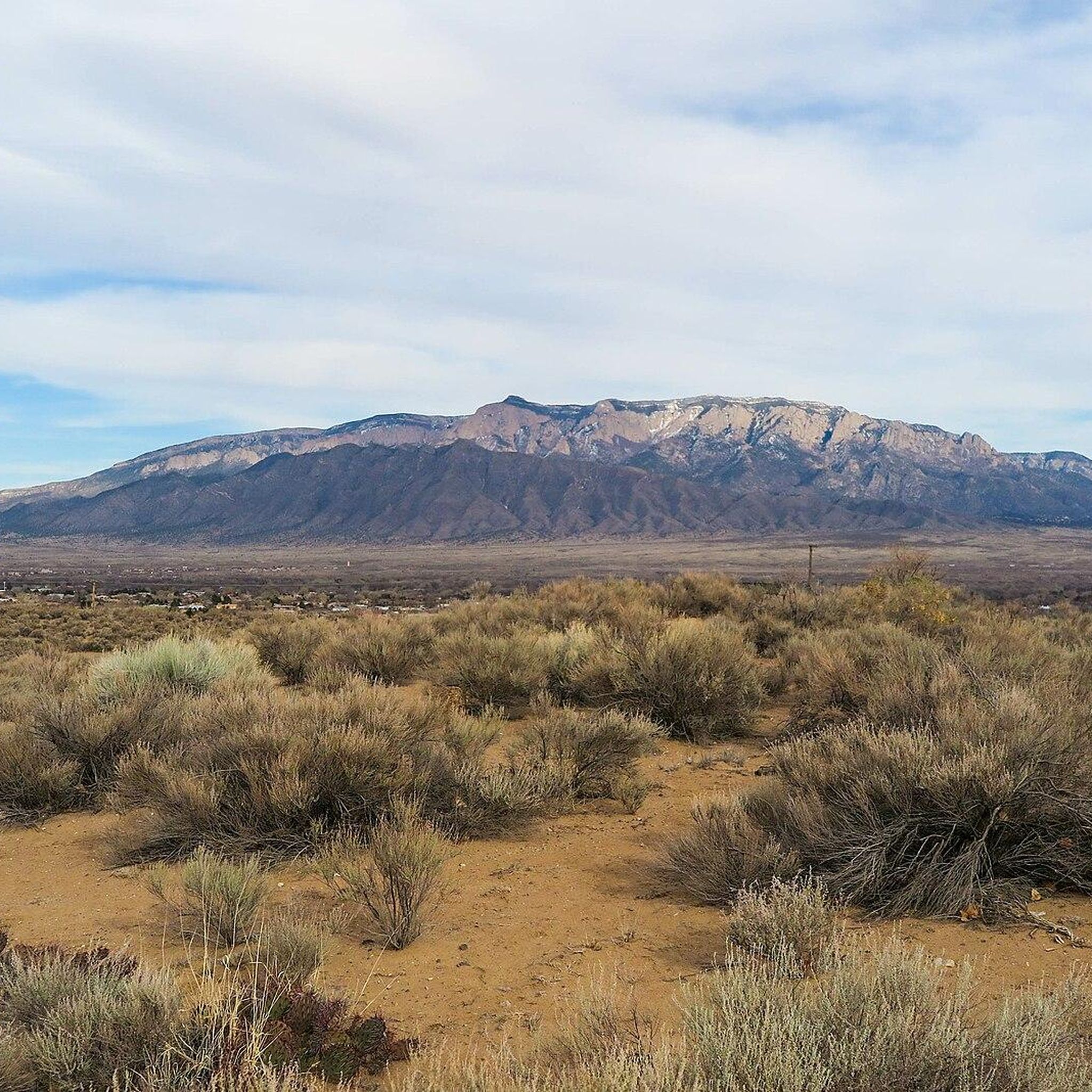
Trail 305A is a popular, smooth trail passing through Albert G. Simms Park. There are continuous views of the Sandia Mountains along the trail.
0
0
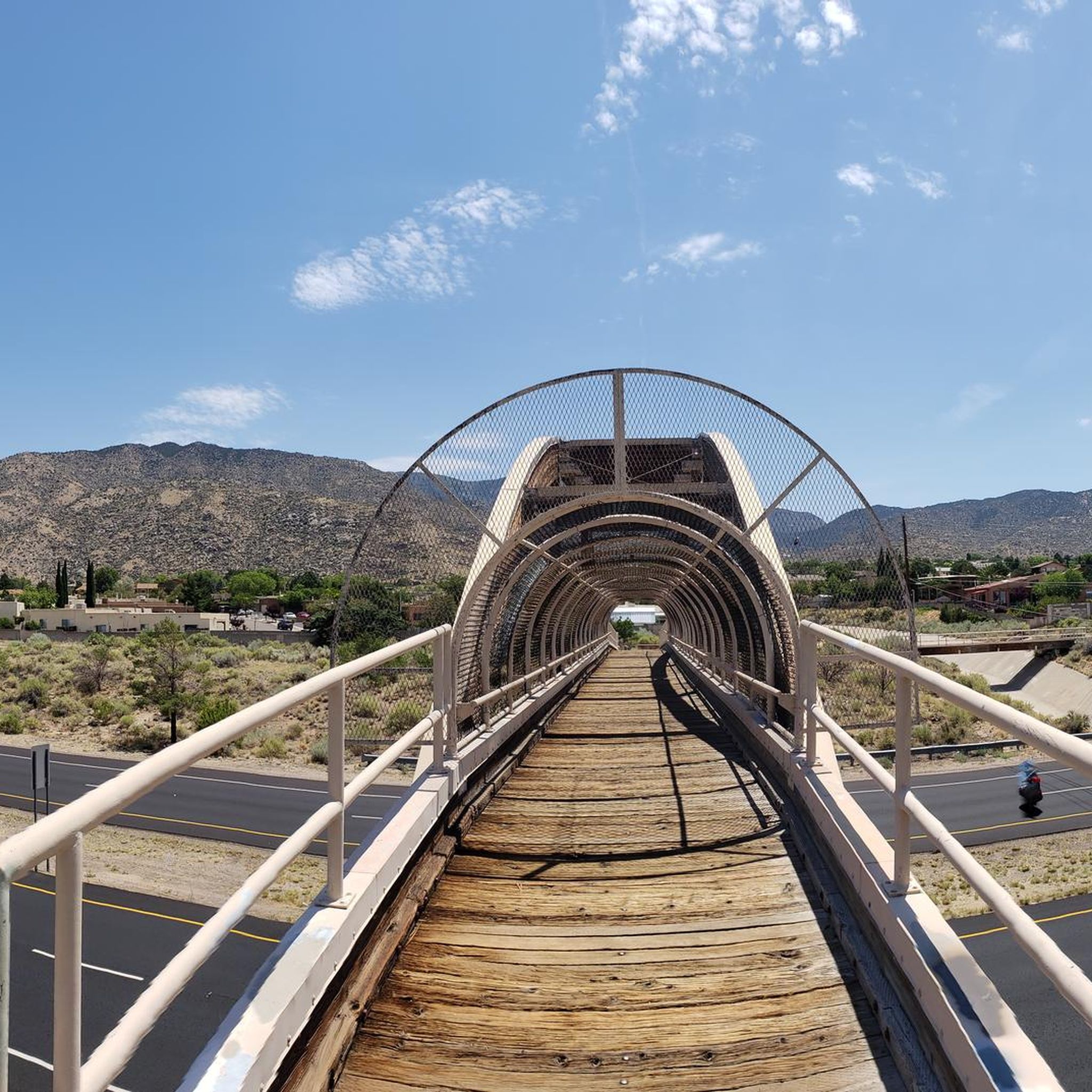
Trail 366 is one of the smoother singletrack trails within the trail network. The path connects to a bunch of other paths and is a popular commuter trail.
1
0

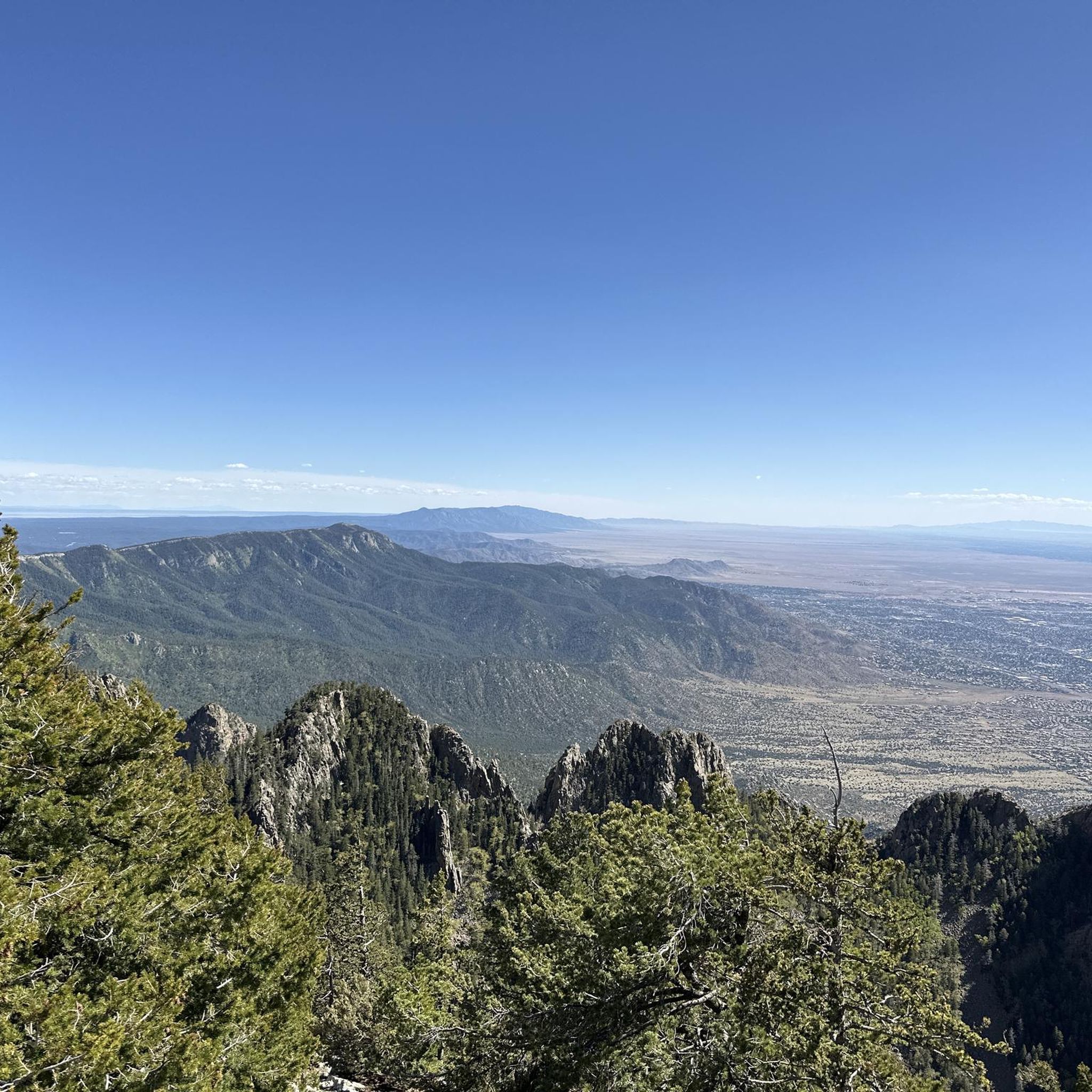
The Piedra Lisa South Route is at the southern end of the two segments. It is split into two segments at the Rincon Trail Junction. From this southern section, you can get great views over residential neighborhoods and the local Sandia Mountains.
0
0
The Piedra Lisa Route is a trail that goes from north to south. One terminus is the north end of Piedra Lisa Trailhead, just off Forest Loop Road 445, and the other is the southern end of La Luz Trailhead Parking. It is split into two segments at the Rincon Trail Junction: Piedra Lisa Route North and Piedra Lisa Route South. This is also part of the Grand Enchantment Trail, and the views in this area of the Sandia Mountains are impressive.
0
0
The Capulin Trail leads runners to Capulin Peak, sitting at an elevation of 8934 feet. Continue past the peak to where the Capulin Trail ends, at a viewpoint overlooking the north side of the Cibola National Forest. There is plenty of parking at the Capulin Picnic Ground.
0
0
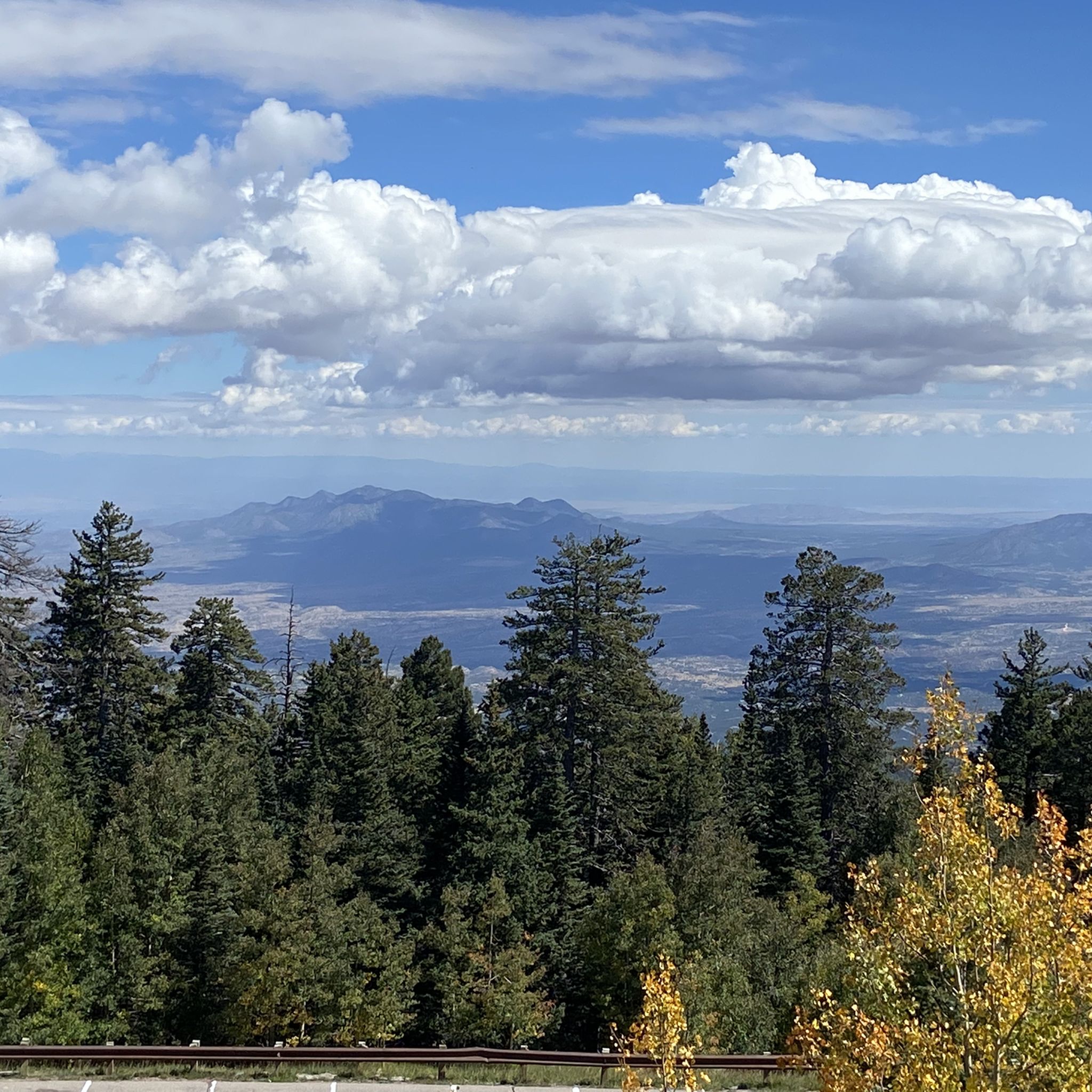
Palomas Peak stands at an elevation of 8685 feet above sea level and can be reached by the Palomas Peak Trail. The trail is well marked, and the ascent to the peak is gradual. The fall colors up here can be very nice, and there is a natural rock chair halfway through the trail that is great for a break. This mountain is also a popular rock climbing spot.
0
0
The North Sandia Crest Trail is best hiked from April to November because it can get snowy in the winter due to its elevation. In the fall, it is rich with golden colors. The North Sandia Crest Trail can feel more remote than its southern part, as there are fewer people on this part of the trail.
0
0


