산타모니카 산맥 최고의 러닝 경로
4.8
(35)
3,599
달리기 하는 사람
155
러닝
산타모니카 산맥에서 하이킹하며 로스앤젤레스 카운티 구석 부분까지 살펴볼까요? 산타모니카 산맥에 있는 모든 하이킹 및 워킹 경로 컬렉션 중 가장 멋진 하이킹 경로를 엄선하여 소개해드릴게요. 다른 하이커가 공유한 실제 팁과 사진을 살펴보고 후기를 읽으며 마음에 드는 산타모니카 산맥 워킹 경로를 찾아보세요.
마지막 업데이트: 8월 31, 2026
75
달리기 하는 사람
23.0km
02:56
830m
830m
Embark on the Century lake and Mesa Peak loop from Calabasas for a challenging jogging experience through the Santa Monica Mountains National Recreation Area. This difficult route spans 14.3 miles…
32
달리기 하는 사람
21.2km
02:15
170m
170m
The San Vicente and Ocean Avenue Loop offers a difficult jogging experience, stretching 13.2 miles (21.2 km) with an elevation gain of 553 feet (168 metres). You can expect to…

무료 회원 가입
4.3
(3)
23
달리기 하는 사람
10.1km
01:03
40m
40m
If you're looking for a consistent and scenic jogging route, the Westlake Lake 10k loop delivers. This moderate 6.3-mile (10.1 km) route, which takes about 1 hour and 2 minutes…
32
달리기 하는 사람
5.56km
00:48
250m
250m
The Temescal Canyon Loop Trail offers a moderate jogging experience, covering 3.5 miles (5.6 km) with an elevation gain of 805 feet (245 metres), typically completed in about 47 minutes.…
29
달리기 하는 사람
10.3km
01:13
170m
170m
Embark on the Crags Road and High Road Loop for a moderate jogging experience through Malibu Creek State Park. This route spans 6.4 miles (10.3 km) and involves a total…
5.0
(1)
28
달리기 하는 사람
11.2km
01:35
420m
420m
어려운 조깅. 우수한 체력 필요. 대부분 포장된 지면. 실력과 관계없이 누구나 갈 수 있음.
26
달리기 하는 사람
17.2km
02:18
670m
670m
The Ray Miller and Overlook Trail Loop in Point Mugu State Park delivers a challenging and visually rewarding jogging experience. This difficult 10.7-mile (17.2 km) route, with its 2203 feet…
15
달리기 하는 사람
16.9km
02:14
790m
800m
Embark on the Zuma Ridge and Canyon Loop, a difficult jogging route spanning 10.5 miles (16.9 km) with a significant 2607 feet (794 metres) of elevation gain. This challenging journey,…
13
달리기 하는 사람
4.80km
00:40
200m
200m
보통 조깅. 좋은 체력 필요. 대부분 포장된 지면. 실력과 관계없이 누구나 갈 수 있음.
4.0
(1)
9
달리기 하는 사람
3.95km
00:30
170m
170m
If you are looking for a quick yet rewarding jogging experience, the Corral Canyon Loop Trail offers spectacular ocean and mountain views, including panoramic vistas of the Malibu coastline. This…
더 다양한 경로와 다른 탐험가들의 추천을 살펴보세요.
무료 회원 가입
이미 komoot 계정이 있나요?
투어 추천은 다른 사람들이 komoot에서 완료한 수천 개의 활동을 바탕으로 구성되어 있습니다.
오늘 무료 계정으로 시작하세요
다음 모험이 기다리고 있어요.
로그인 또는 가입하기




커뮤니티 팁

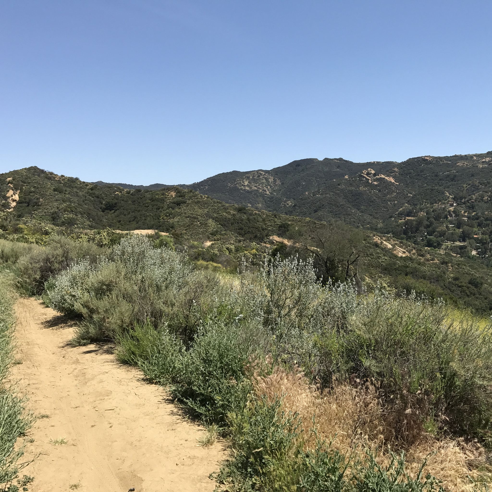
The Grasslands Trail is exactly what the name advertises: A nice, firm track through grassy meadows and a profusion of wildflowers in season. You won't find a lot of shade on this trail, but there are more trees — and a lot more shade — as you go farther into the park.
0
0

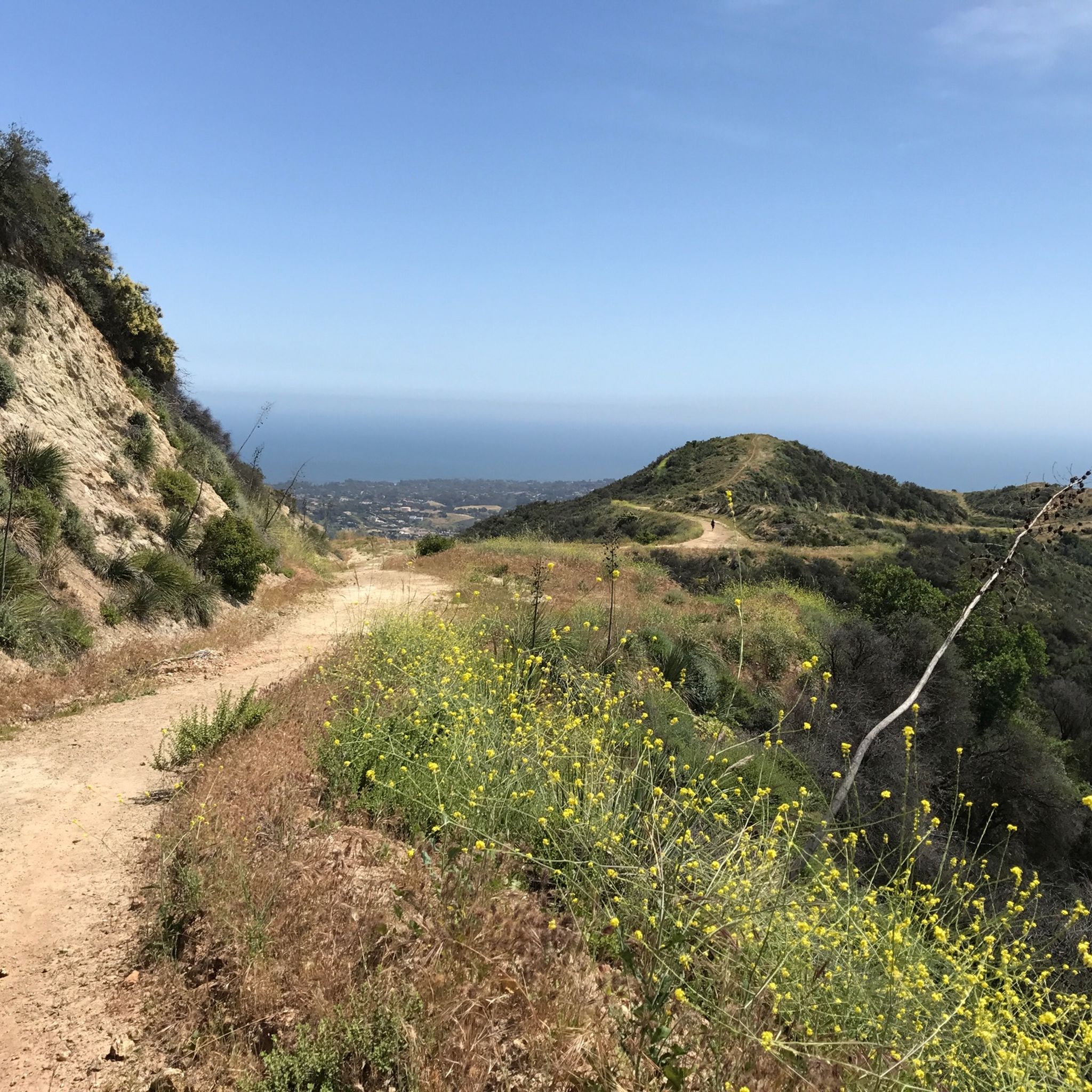
This beautiful 2.5-mile trail climbs through untouched wilderness to the Puerco Canyon through coastal sage scrub, native grasslands, and the riparian corridor of Corral Creek. Along the way, there are stunning ocean and mountain views. At 646m, a junction leads to the Puerco Canyon Motorway Connector Trail, which leads to the Cameron Nature Preserve at Puerco Canyon, offering several trails and scenic vistas if you want to extend your route.
0
0
This trailhead, adjacent to the Malibu Seafood Market, marks the beginning of a 2.5-mile loop trail that climbs to the Puerco Canyon. Parking is $12, or you can choose public transit. There is an MTA bus stop at the park entrance. Restrooms, a picnic table area, sitting benches and educational displays are here. During the spring and early summer, beautiful wildflowers cover the hillsides with fantastic ocean views. This trail is known to be very overgrown, so wearing long pants and sturdy footwear is ideal for a better experience. There is minimal shade along the way, so bringing a hat and plenty of water is recommended.
0
0
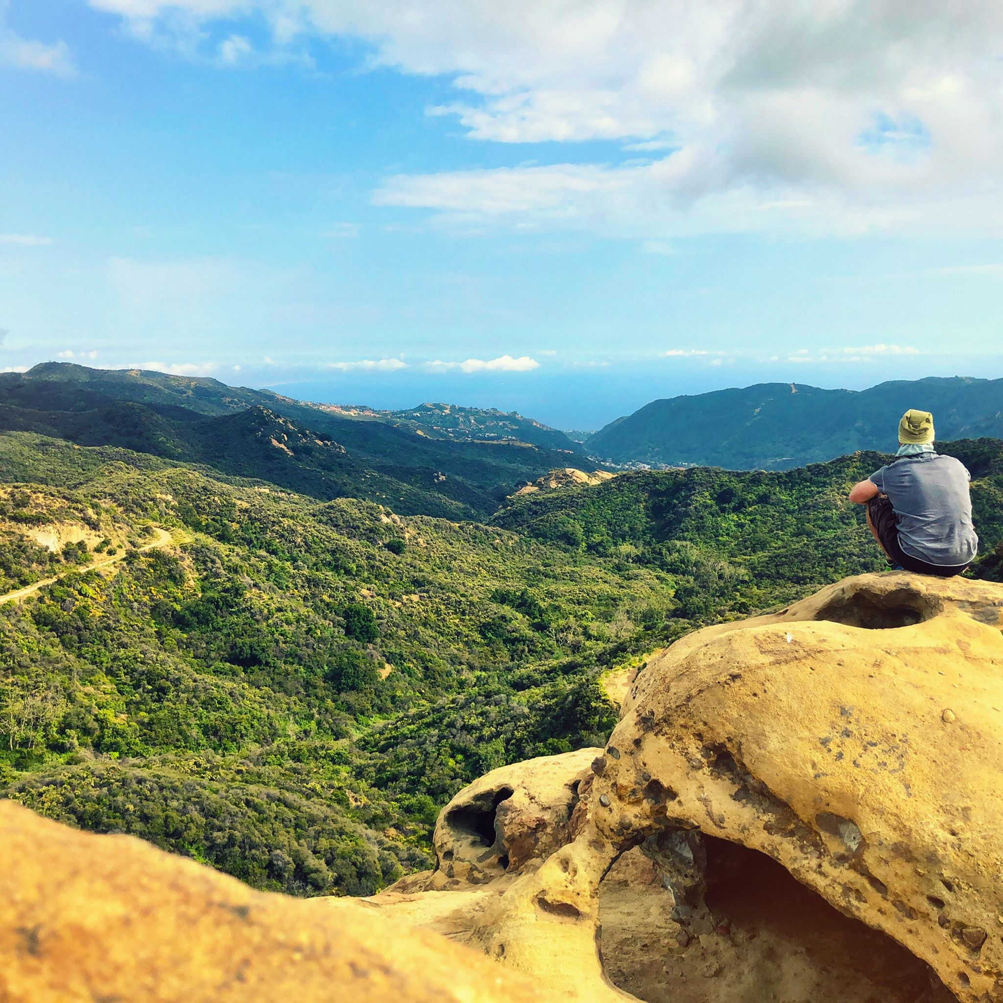
The views of the canyon, the Pacific Ocean and the city of Malibu below are majestic. There are many beautiful purple and yellow wildflowers in the spring. It is an excellent setting for panoramic photos of the stunning green mountains and ocean scenery.
0
0

We look at the Santa Monica Pier and the surrounding area. This is also the end of Route 66. The route is very famous and legendary. Again and again you come across individual sections or you are reminded that this highway existed.
4
1

If you're lucky, like us, you can also see at least one sea lion 🦭.
2
0

Near the top of the Scenic Trail, it's worth a short detour to a coastal Overlook with a bench and sweeping views above Sycamore Cove.
0
0

One of the best options to get up to Backbone Trail and Guadalasca Trail. Whenever you need a rest: Just turn around and enjoy the view on the ocean.
0
0
산타모니카 산맥에서 가장 인기 있는 명소


더 살펴보기
다른 지역의 최고의 러닝 트레일 & 경로를 살펴보세요.
