발벨 최고의 러닝 경로
4.4
(36)
1,496
달리기 하는 사람
120
러닝
발벨에서 하이킹하며 포칼퀴어 구석 부분까지 살펴볼까요? 발벨에 있는 모든 하이킹 및 워킹 경로 컬렉션 중 가장 멋진 하이킹 경로를 엄선하여 소개해드릴게요. 다른 하이커가 공유한 실제 팁과 사진을 살펴보고 후기를 읽으며 마음에 드는 발벨 워킹 경로를 찾아보세요.
마지막 업데이트: 7월 22, 2026
20
달리기 하는 사람
19.7km
02:51
930m
930m
어려운 조깅. 우수한 체력 필요. 대부분 포장된 지면. 실력과 관계없이 누구나 갈 수 있음.
7
달리기 하는 사람
8.60km
00:57
130m
130m
보통 조깅. 좋은 체력 필요. 대부분 갈 수 있는 길. 일부 구간에서 미끄러지지 않게 조심해야 함.

무료 회원 가입
5.0
(1)
4
달리기 하는 사람
8.00km
01:06
320m
320m
어려운 조깅. 우수한 체력 필요. 대부분 포장된 지면. 실력과 관계없이 누구나 갈 수 있음.
6
달리기 하는 사람
6.91km
00:53
310m
310m
어려운 조깅. 우수한 체력 필요. 대부분 포장된 지면. 실력과 관계없이 누구나 갈 수 있음.
1
달리기 하는 사람
9.93km
01:36
630m
630m
어려운 조깅. 우수한 체력 필요. 대부분 포장된 지면. 실력과 관계없이 누구나 갈 수 있음.
더 다양한 경로와 다른 탐험가들의 추천을 살펴보세요.
무료 회원 가입
이미 komoot 계정이 있나요?
투어 추천은 다른 사람들이 komoot에서 완료한 수천 개의 활동을 바탕으로 구성되어 있습니다.
오늘 무료 계정으로 시작하세요
다음 모험이 기다리고 있어요.
로그인 또는 가입하기
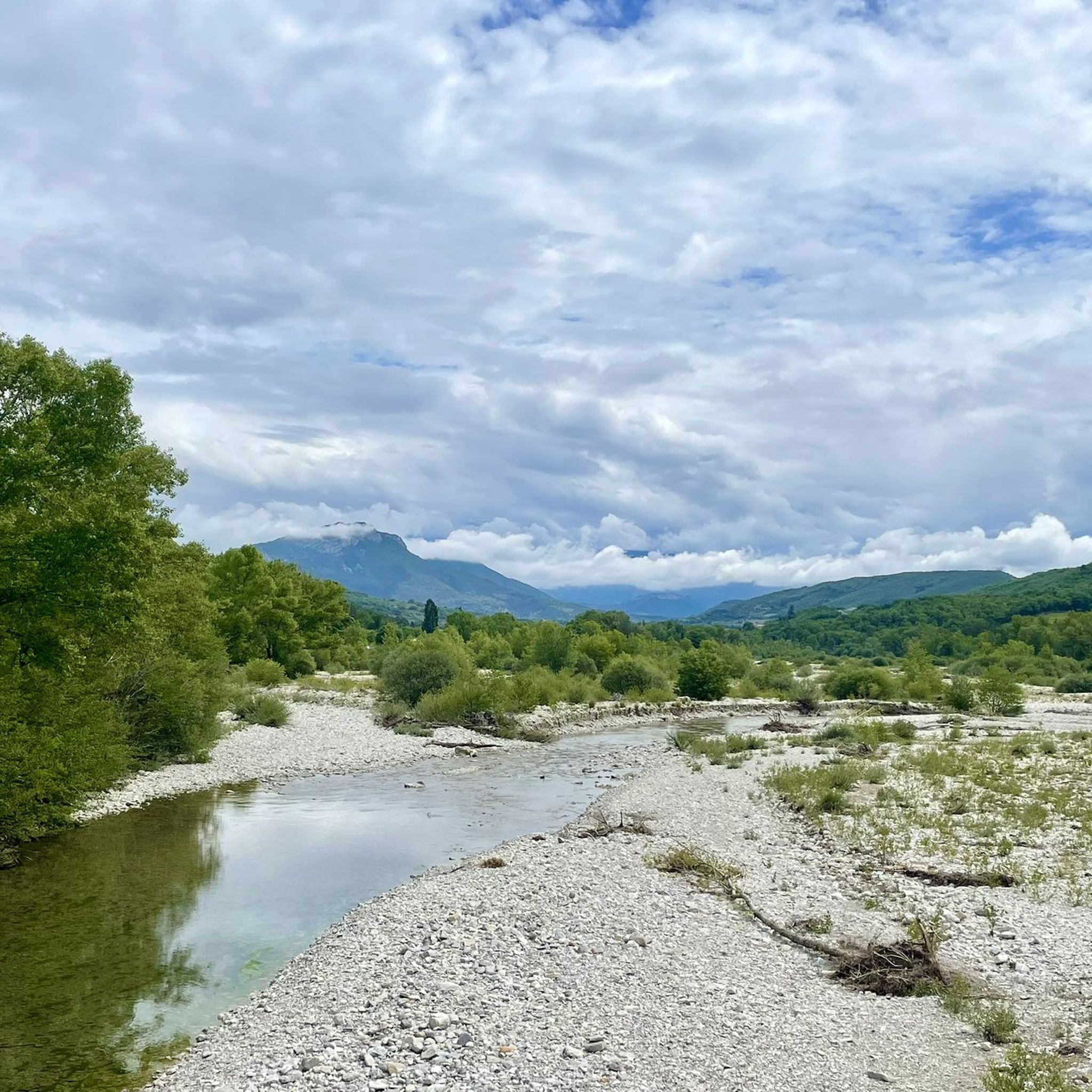
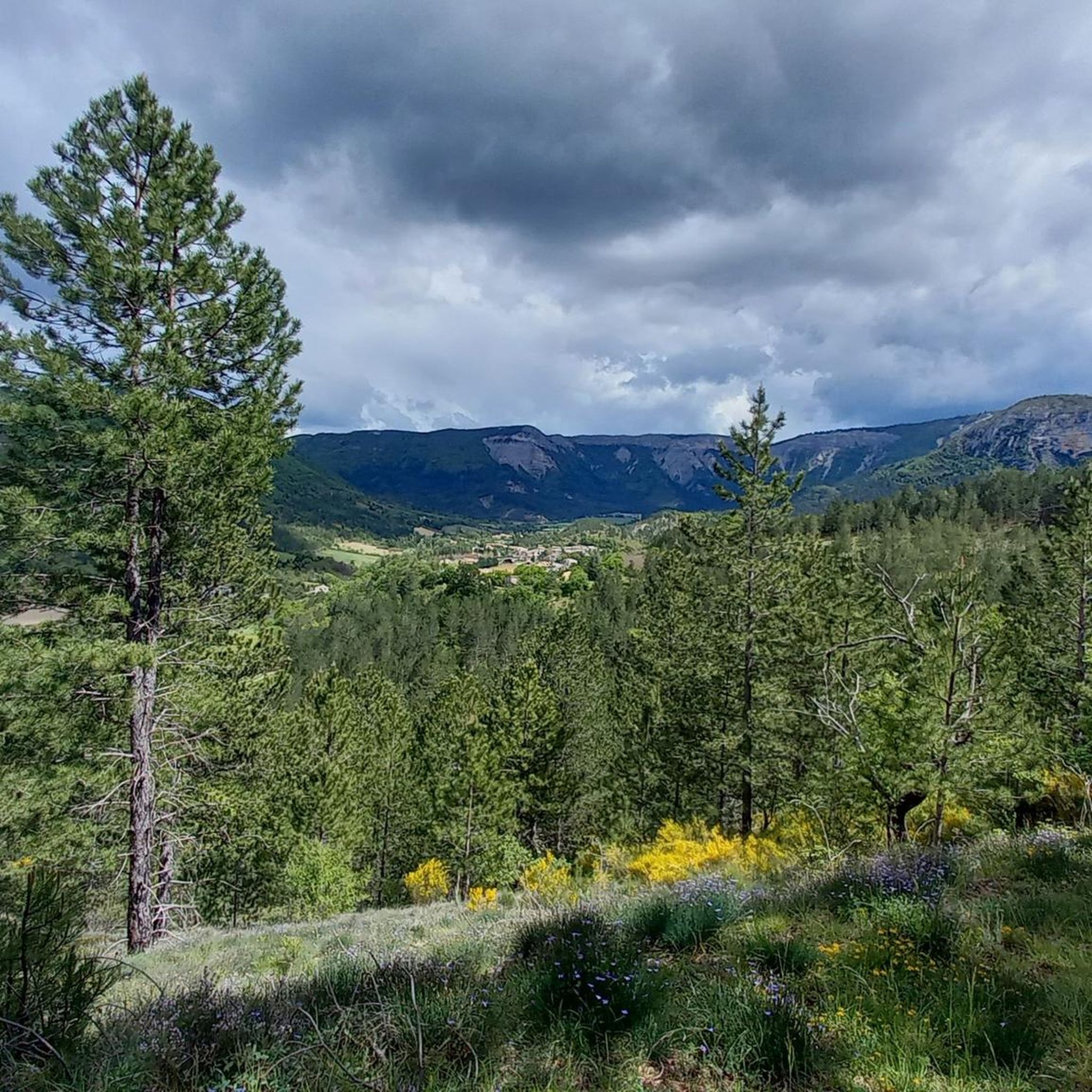
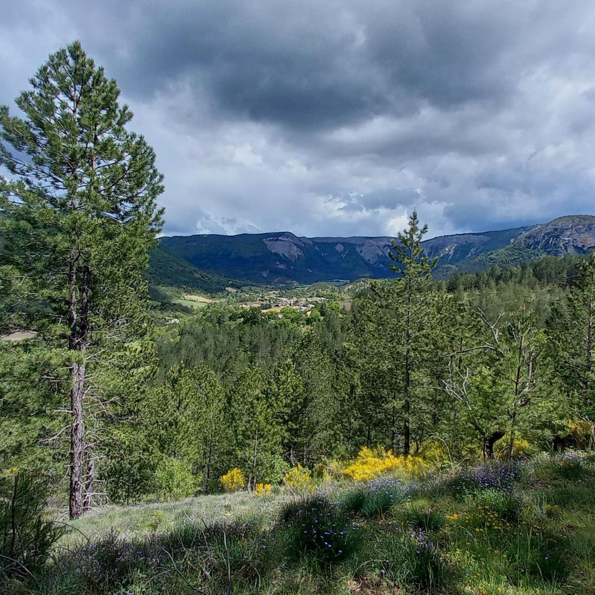
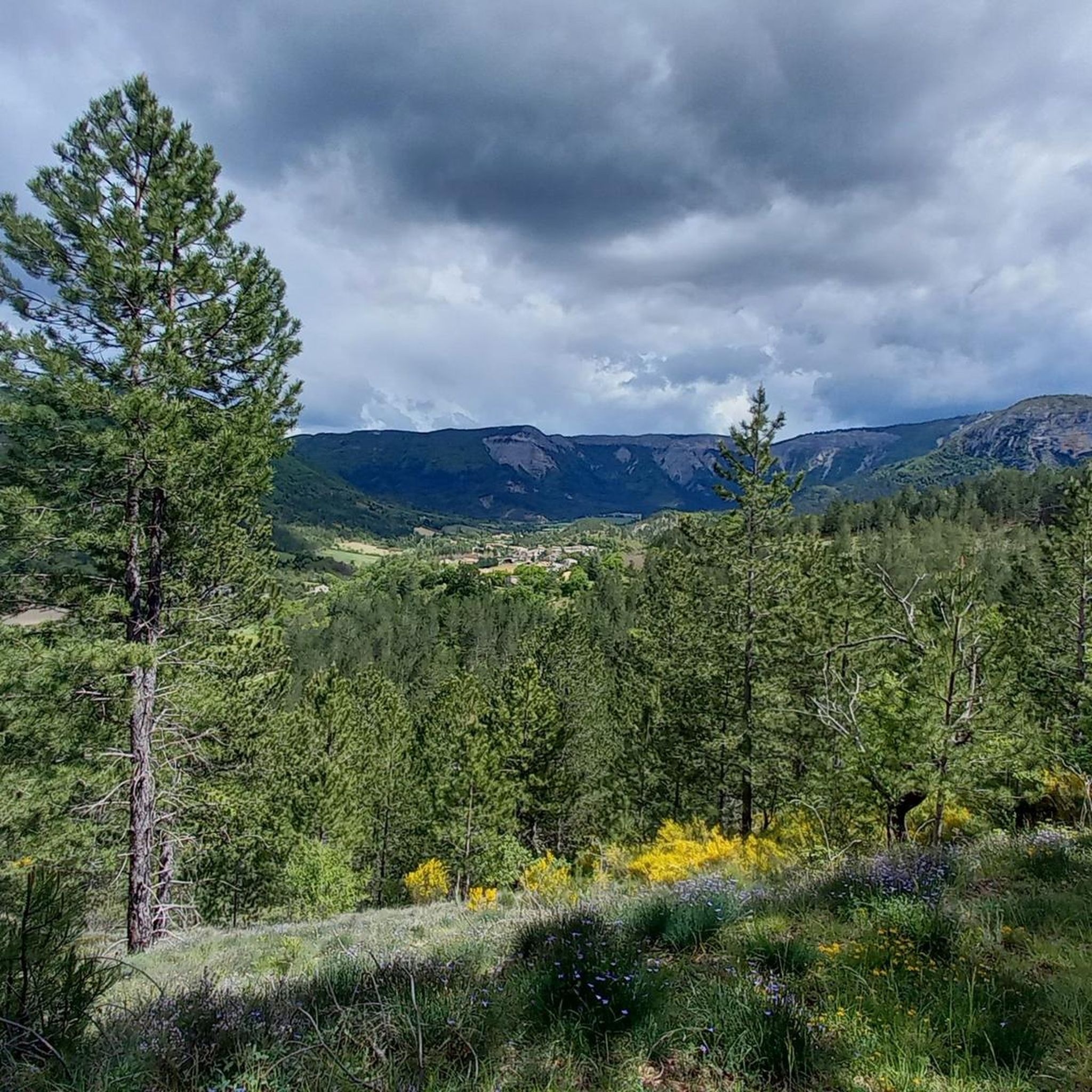

커뮤니티 팁

The Ventoux's little brother. With a length of 17.7 kilometres and an ascent of 1054 vertical metres and a gradient of 5.9% on average, which implies a difficulty level of 688. The summit of the climb is located at 1746 metres above sea level. At the top the views are fabulous both towards Ventoux itself and towards the Alps. A long, very pleasant and fun climb that is worth the effort with percentages that remain around 5/6/7% and some peaks of up to 9.3%. The last 2 kilometres are very easy.
2
0


The Montagne de Lure is a large mountain in the Vaucluse in the Alpes-de-Haute-Provence department of France. It belongs to the same geological formation as the Albion plateau and Mont Ventoux. This chain extends over 42 kilometers and culminates in the Lure signal at 1,825 m and presents a very contrasting relief.
2
1
The Graille pass is probably the most famous pass in the Alps without even knowing it. So that? Because it is the obligatory step to reach the mountain of Lure. It is one of the first steps of the southern Alps. It is often compared to Mount Ventoux for its easily climbed, bald summit. Also well known to shepherds, the Pas de la Graille has been a path of transhumance since prehistoric times. The D53 connects Saint-Etienne-les-Orgues with Valbelle.
0
0

Mandatory climb in this region! Fantastic and calm
2
1

발벨 주변에서 가장 인기 있는 명소


더 살펴보기
다른 지역의 최고의 러닝 트레일 & 경로를 살펴보세요.
