오를루 최고의 워킹 & 하이킹 경로
4.6
(1703)
14,552
등산객
25
하이킹
정확한 경로를 찾는 것이 때로는 어렵지만 오를루에서 하이킹을 하면 다양한 경치를 마음껏 감상할 수 있답니다. 오를루에서 가장 멋진 하이킹과 워킹 중에서 마음에 드는 활동을 시작해보세요.
마지막 업데이트: 9월 5, 2026
5.0
(24)
323
등산객
17.5km
06:00
900m
900m
어려운 하이킹. 우수한 체력 필요. 실력과 관계없이 누구나 쉽게 갈 수 있는 길.
4.6
(27)
297
등산객
9.08km
02:43
290m
290m
보통 하이킹. 좋은 체력 필요. 실력과 관계없이 누구나 쉽게 갈 수 있는 길.

무료 회원 가입
4.8
(6)
60
등산객
28.2km
10:06
1,540m
1,540m
어려운 하이킹. 우수한 체력 필요. 실력과 관계없이 누구나 쉽게 갈 수 있는 길.
4.9
(9)
145
등산객
13.2km
03:54
390m
390m
보통 하이킹. 좋은 체력 필요. 실력과 관계없이 누구나 쉽게 갈 수 있는 길.
4.4
(7)
87
등산객
10.4km
04:39
980m
980m
어려운 하이킹. 우수한 체력 필요. 실력과 관계없이 누구나 쉽게 갈 수 있는 길.
더 다양한 경로와 다른 탐험가들의 추천을 살펴보세요.
무료 회원 가입
이미 komoot 계정이 있나요?
투어 추천은 다른 사람들이 komoot에서 완료한 수천 개의 활동을 바탕으로 구성되어 있습니다.



커뮤니티 팁

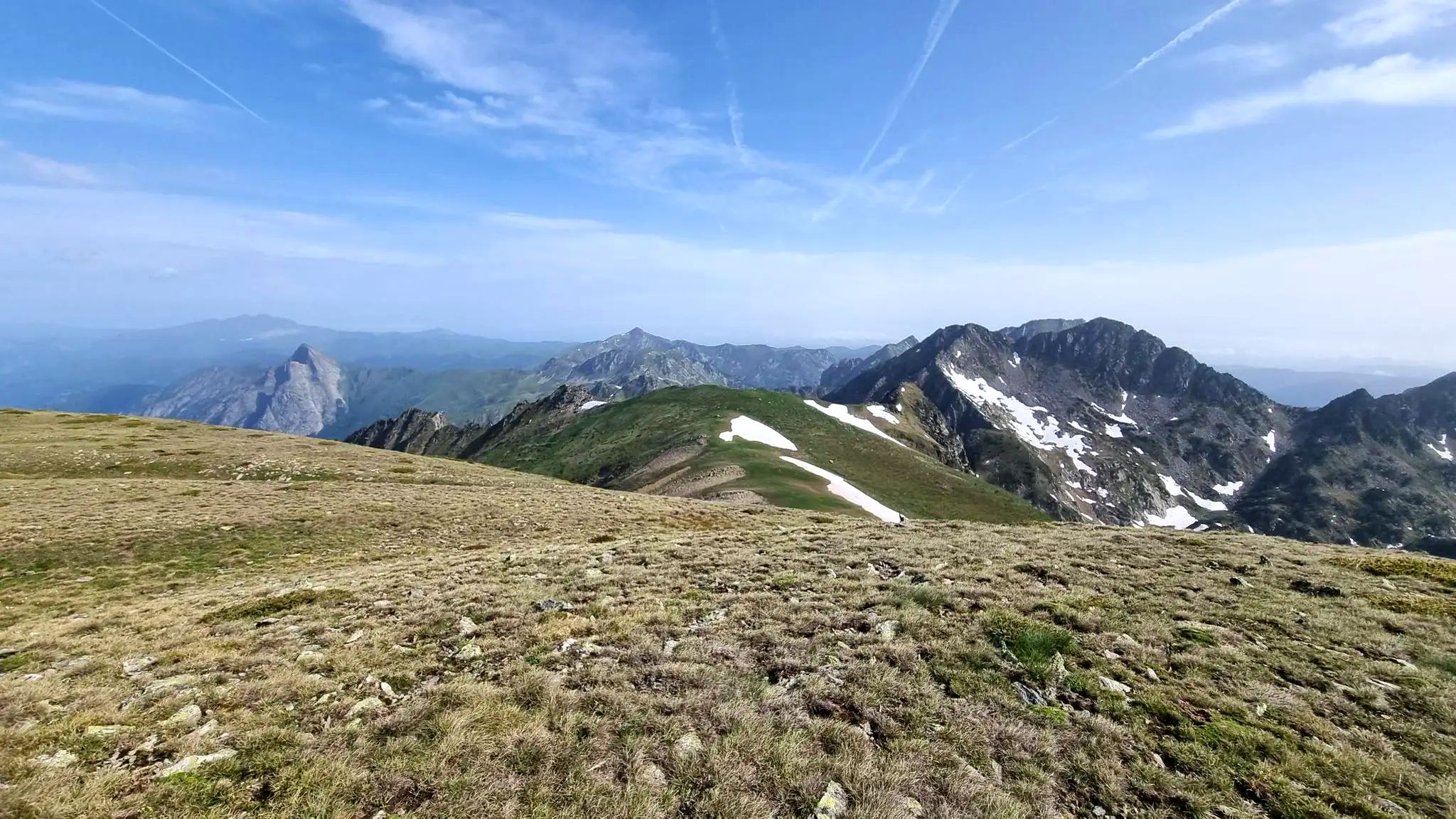
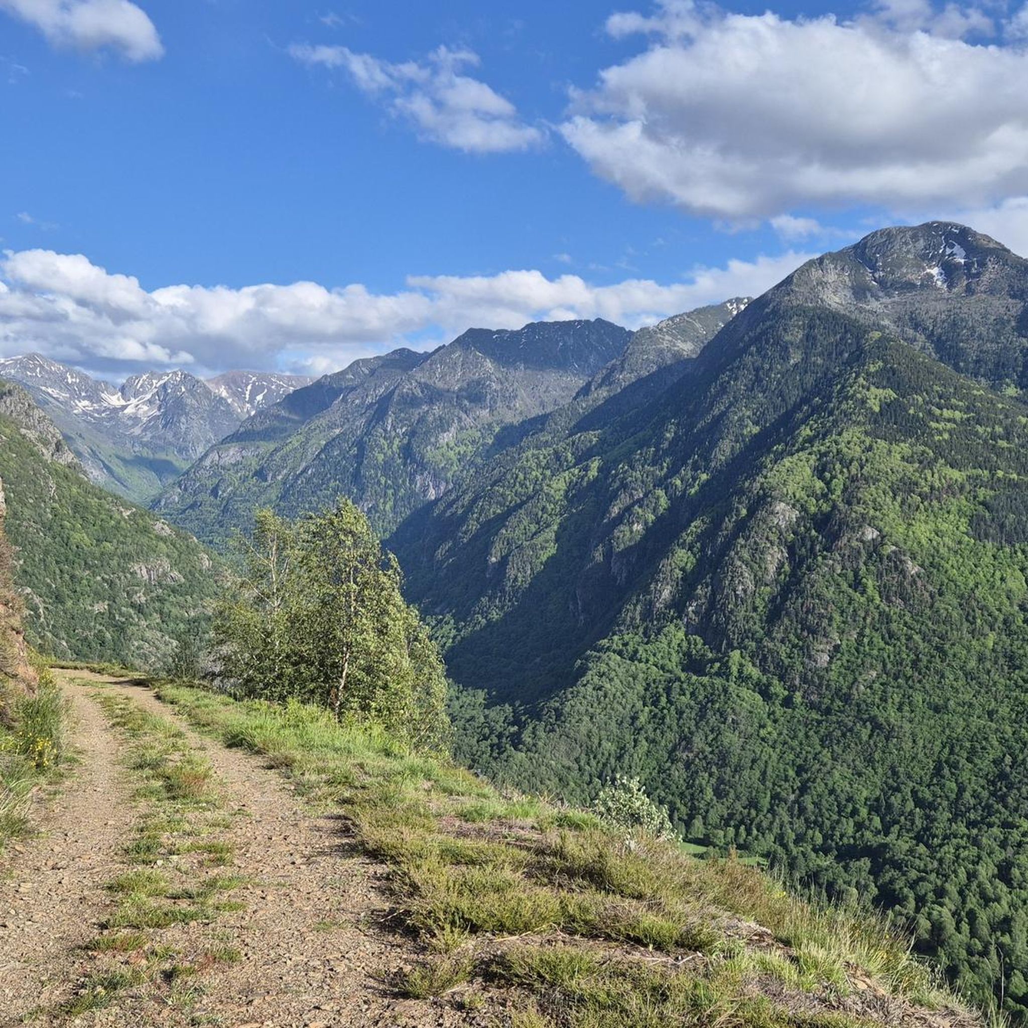
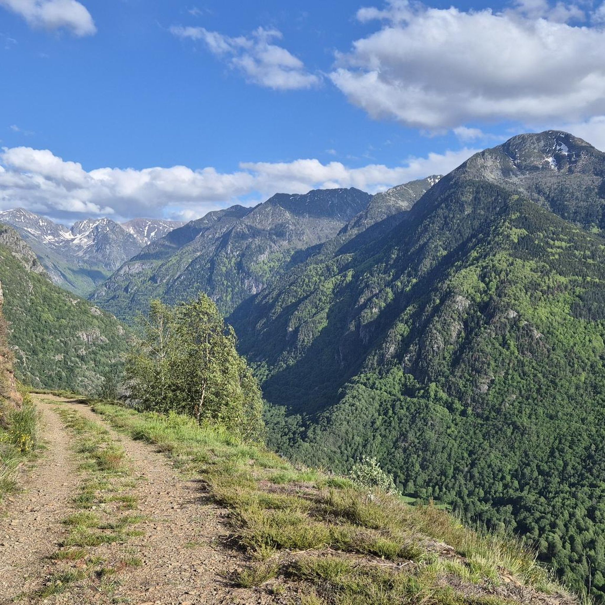
Pico d'En Beys 아래의 인상적인 고개입니다. 이곳에서는 독특한 전망을 즐길 수 있습니다. 어느 쪽 경사면에서든 올라가는 길은 상당히 힘들고 어렵습니다.
0
0


In Occitan toponymy, a “couillade” means “pass”. That of en Beys culminates at 2,345 meters above sea level and separates the peak of Peyrisses and the peak of en Beys. It links the Peyrisses ponds to the north and the Couillade pond to the south and is used by the GRP Tour des Montagnes d'Ax.
1
0
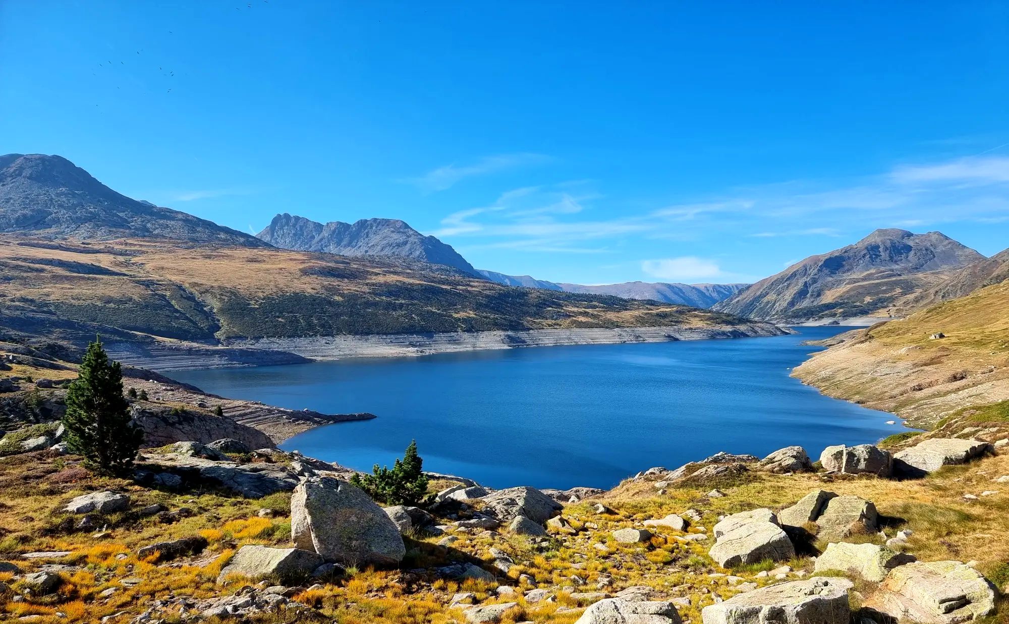
The Etang de Naguilles is a dam lake which supplies the hydroelectric power station of Orlu. With an area of almost 100 hectares, it culminates at 1,855 meters. Now in industrial use, the pond has long animated local tales and legends. The Ariégeois say that the pond of Naguilles was born from the meeting of a blacksmith and the beast of the forest of Naguilles. The blacksmith allegedly gave the ferocious ferocious beast a white-hot iron bar. The beast, then thirsty, would have emptied all the water sources of the mountain before exploding at the current location of the pond.
0
1
The En Beys refuge which overlooks the eponymous ponds culminates at an altitude of 1,970 meters, in the heart of the Orlu national reserve. Situated on the great GR 7 which connects the Vosges to the Pyrenees, the refuge remains an excellent detour for the GRP® tour of the Ax Mountains or Tour des Pérics. In a warm and family setting, the refuge guardians offer 70 beds in high season as well as a complete catering offer. In winter, 15 places remain freely accessible, accessible through the window at the top of the ladder which fits on one of the walls of the building. The refuge is an ideal place to observe the burning of the granite walls of the Pics Rouges at sunset, or the galloping chamois in the snowfields in the early morning. If you wish to extend your stay for one night, do not hesitate to contact the refuge on 05 61 64 24 24 to find out about opening dates and bed availability.
2
1
The ponds of En Beys designate a set of three ponds located between 1,900 and 2,000 meters above sea level. Reading a map, you will guess that the lake furthest upstream is the largest of the three. It is also the one on which the En Beys refuge is based, an essential stopover for a night in an entirely mountain setting. The layout of the lake is perfect for admiring the colors of dawn or dusk. If you sleep at the refuge, take advantage of it for a moment of contemplation.
1
0
오를루 주변에서 가장 인기 있는 명소


더 살펴보기
다른 지역의 최고의 하이킹를 살펴보세요.
