베르덴베르크 최고의 러닝 경로
4.5
(53)
2,404
달리기 하는 사람
252
러닝
베르덴베르크에서 하이킹하며 세인트 갈렌 구석 부분까지 살펴볼까요? 베르덴베르크에 있는 모든 하이킹 및 워킹 경로 컬렉션 중 가장 멋진 하이킹 경로를 엄선하여 소개해드릴게요. 다른 하이커가 공유한 실제 팁과 사진을 살펴보고 후기를 읽으며 마음에 드는 베르덴베르크 워킹 경로를 찾아보세요.
마지막 업데이트: 11월 9, 2026
4.3
(3)
139
달리기 하는 사람
11.2km
01:10
30m
30m
보통 조깅. 좋은 체력 필요. 대부분 포장된 노면.
4.0
(1)
137
달리기 하는 사람
12.6km
02:09
1,020m
1,020m
어려운 조깅. 우수한 체력 필요. 대부분 포장된 노면.

4.0
(1)
49
달리기 하는 사람
10.7km
01:17
400m
400m
어려운 조깅. 우수한 체력 필요. 대부분 포장된 노면.
35
달리기 하는 사람
10.6km
01:06
40m
40m
보통 조깅. 좋은 체력 필요. 대부분 포장된 노면.
27
달리기 하는 사람
11.1km
01:09
40m
40m
보통 조깅. 좋은 체력 필요. 대부분 포장된 노면.
4.5
(4)
31
달리기 하는 사람
10.6km
01:06
30m
30m
보통 조깅. 좋은 체력 필요. 대부분 포장된 노면.
4.0
(2)
30
달리기 하는 사람
10.0km
01:03
80m
80m
보통 조깅. 좋은 체력 필요. 대부분 포장된 노면.
3.0
(3)
37
달리기 하는 사람
7.75km
00:48
20m
20m
보통 조깅. 좋은 체력 필요. 대부분 포장된 노면.
5.0
(1)
34
달리기 하는 사람
18.4km
03:38
1,430m
1,430m
어려운 조깅. 우수한 체력 필요. 튼튼한 신발을 신고 미끄러지지 않게 조심해야 하며, 높은 산을 오른 경험이 있어야 함.
4.5
(2)
37
달리기 하는 사람
9.38km
01:05
220m
220m
보통 조깅. 좋은 체력 필요. 대부분 포장된 노면.
더 다양한 경로와 다른 탐험가들의 추천을 살펴보세요.
이미 komoot 계정이 있나요?
투어 추천은 다른 사람들이 komoot에서 완료한 수천 개의 활동을 바탕으로 구성되어 있습니다.
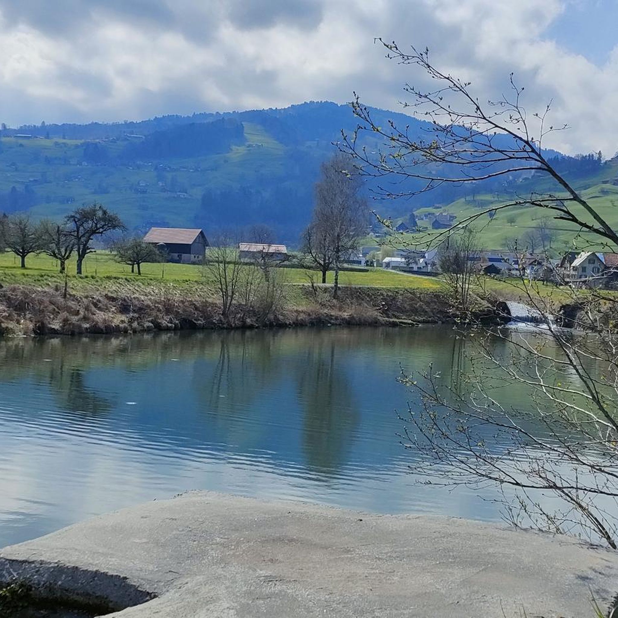
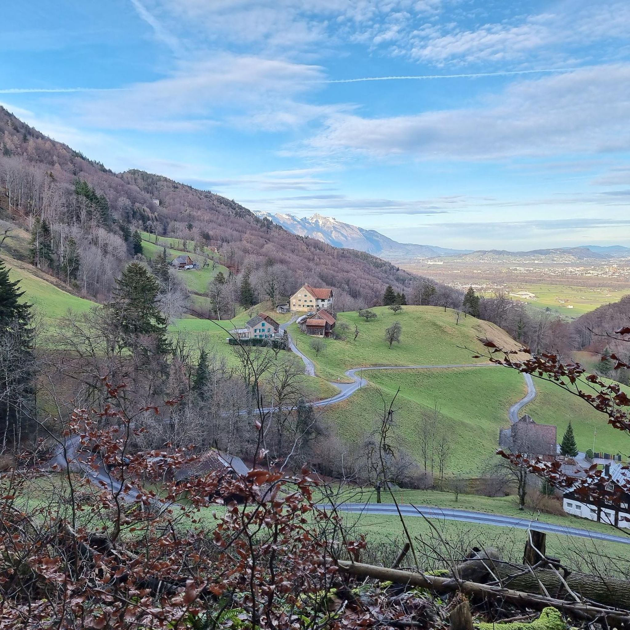
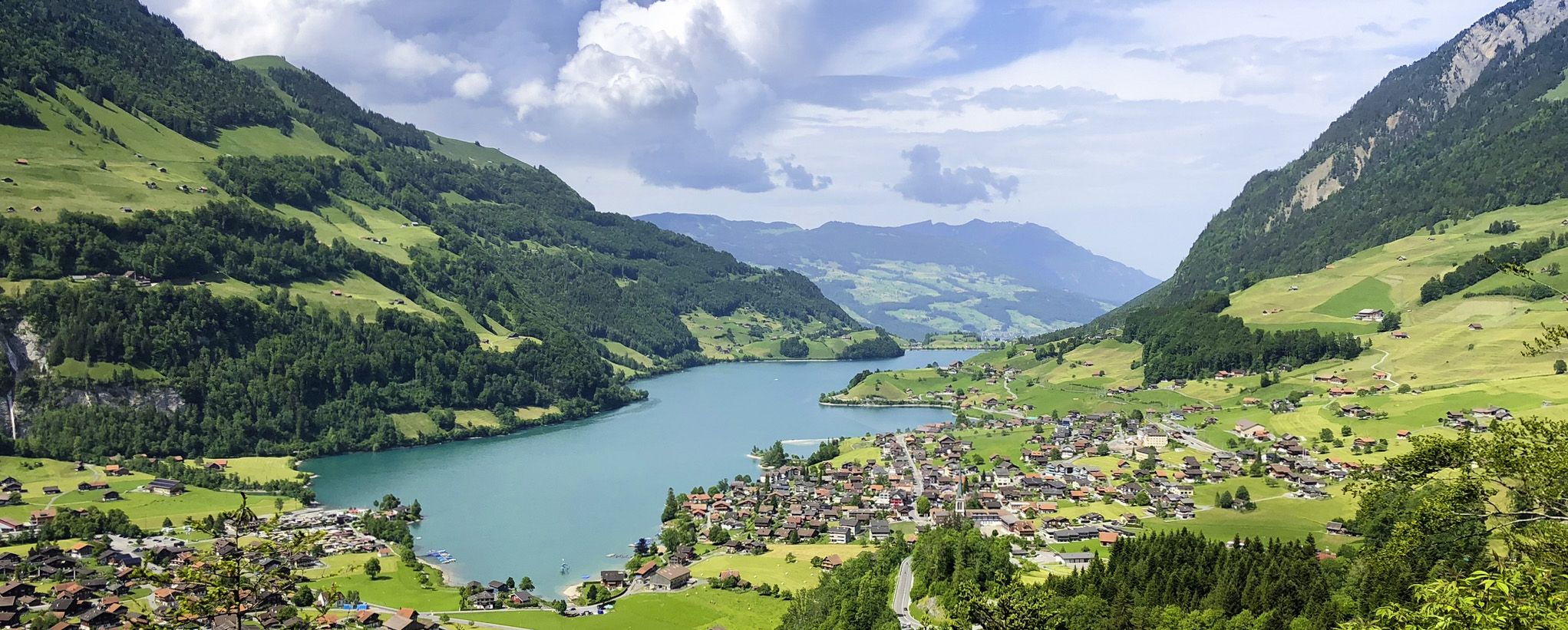
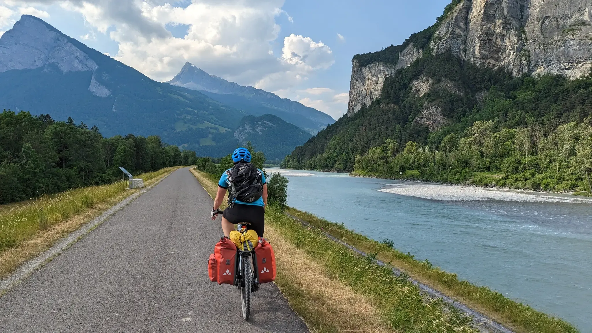
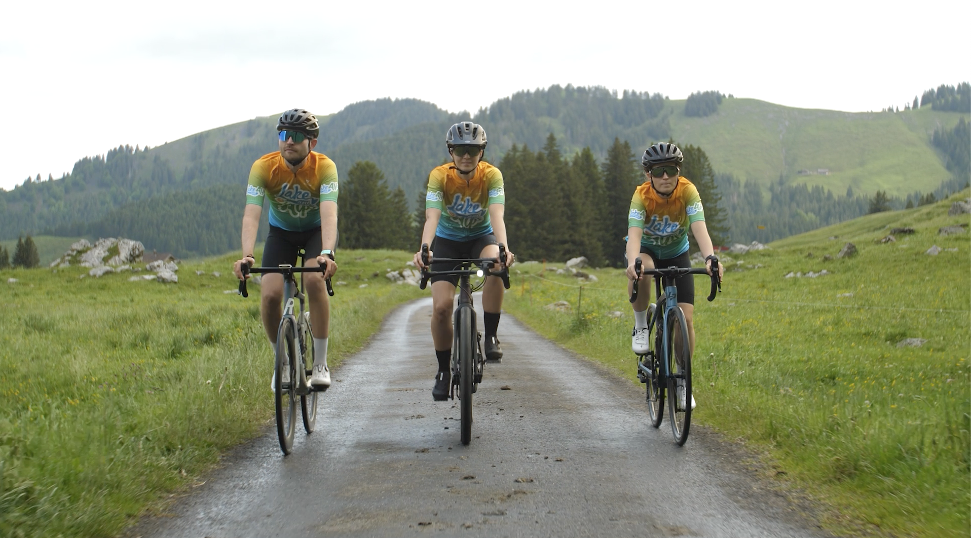
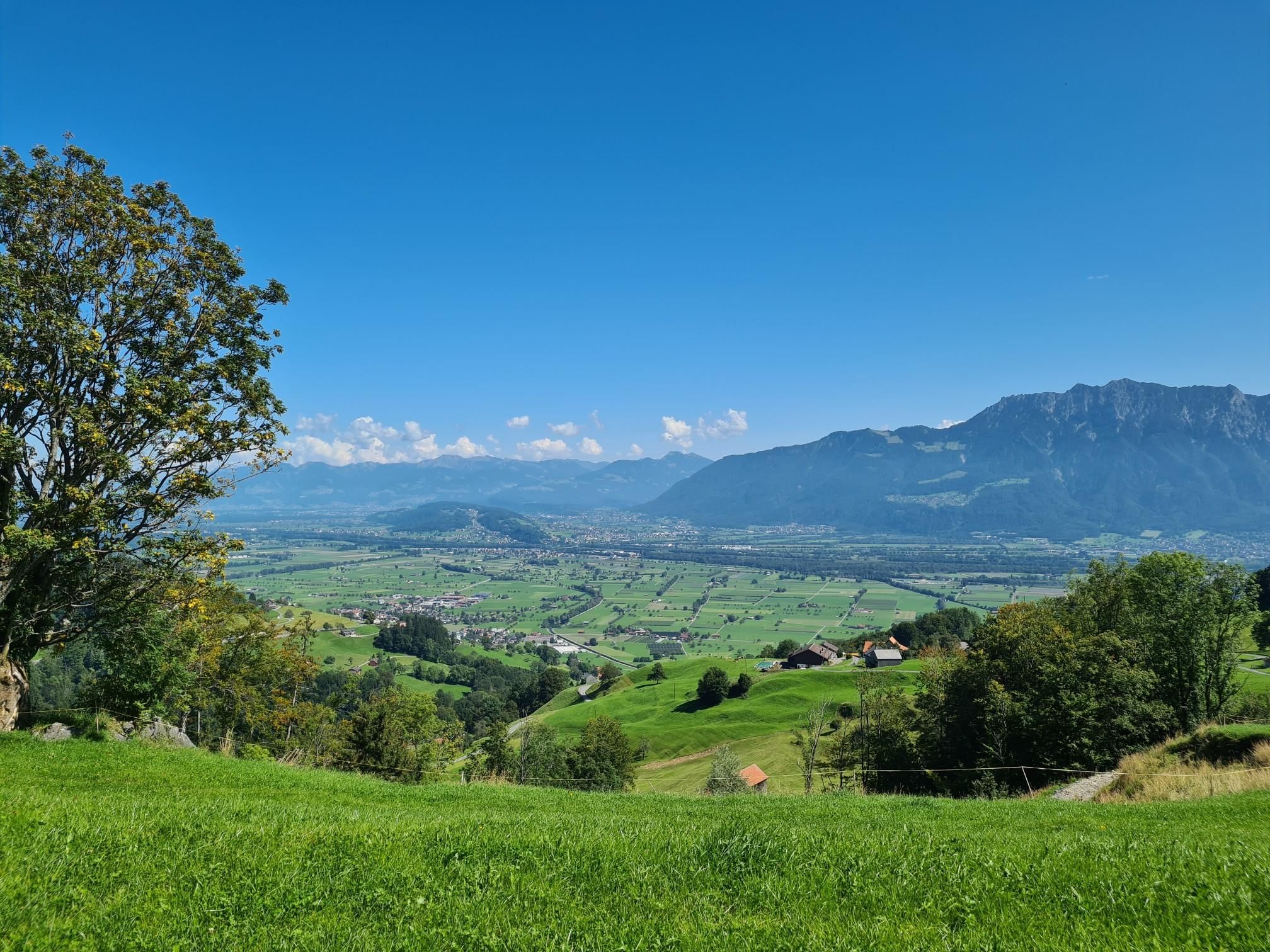
베르덴베르크의 다른 모험


커뮤니티 팁

Saxer Lücke(약 1,670m)는 Appenzell Innerrhoden주와 St. Gallen주 사이에 있는 Alpstein의 눈에 띄는 바위 협곡입니다. 동부 스위스에서 가장 유명한 전망대 중 하나이며, 들쭉날쭉한 바위 봉우리, 라인 계곡, 그리고 Vorarlberg 알프스의 장관을 볼 수 있습니다. Saxer Lücke는 Berggasthaus Staubern 또는 Frümsel에서 출발하는 잘 정비된 산악 하이킹 코스를 통해 접근할 수 있습니다. 특히 Staubern과 Hohen Kasten 사이의 종주가 인기가 많습니다. 여름에는 인상적인 풍경과 고산 식물이 방문객을 끌어들이며, 가을에는 라인 계곡의 바다 같은 안개가 잊을 수 없는 파노라마를 선사합니다.
6
1


Barbecue area with wood supply available.
0
0


Nice barbecue area with firewood provided.
1
0
Below the main road, the Mühlbach continues with Messerschmitts, corn mill and bone crusher
1
0

From the Rhine Valley "Frümsen" directly into the Alpstein, to the "Berggasthaus Staubern" The route starts in the heart of the St. Gallen Rhine Valley, in Frümsen, right next to the artistic, nut-shaped valley station of the Staubern cable car. In a curved arc, it goes first on a field road, later on a mountain path steadily uphill. More than 1200 meters in altitude are overcome. Around two thirds of the mountain hike leads through wooded areas, pleasantly shady. After about 2½ hours you reach the "Frümsner Alp" Vorderalp, after which the trees become increasingly sparse. Despite seductive views down into the Rhine Valley, it is important to concentrate again on the last stretch of the path to the Staubernfirst, as the terrain drops very steeply. From the Staubernfirst it is not far to the Berggasthaus Staubern. The fine Appenzell and Rheintal specialties, the view and finally the leisurely descent into the valley on the world's first energy-independent and environmentally neutral mountain railway make up for the effort of the ascent. Tip: Despite the many meters of altitude, we/I recommend doing the tour uphill for the sake of your knees. Text / Source/ Appenzellerland Tourismus AI, Hauptgasse 38, CH-9050 Appenzell https://www.appenzell.ch/de/alpstein/wandern/wandervorschlaege.html?tx_wstourismus_tourismus%5Baction%5D=show&tx_wstourismus_tourismus%5Btour%5D=75&cHash=bee82ed1651b50746f7453212a33f625
14
0


더 살펴보기
다른 지역의 최고의 러닝 트레일 & 경로를 살펴보세요.
