세인트 갈렌 최고의 등산 경로
4.7
(106)
984
등산객
79
하이킹
세인트 갈렌에서 하이킹하며 동부 스위스 구석 부분까지 살펴볼까요? 세인트 갈렌에 있는 모든 하이킹 및 워킹 경로 컬렉션 중 가장 멋진 하이킹 경로를 엄선하여 소개해드릴게요. 다른 하이커가 공유한 실제 팁과 사진을 살펴보고 후기를 읽으며 마음에 드는 세인트 갈렌 워킹 경로를 찾아보세요.
마지막 업데이트: 10월 5, 2026
4.9
(16)
94
등산객
15.5km
08:19
1,300m
1,300m
어려운 등산 코스. 우수한 체력 필요. 튼튼한 신발을 신고 미끄러지지 않게 조심해야 하며, 높은 산을 오른 경험이 있어야 함.
5.0
(10)
25
등산객
12.5km
07:26
1,070m
1,070m
어려운 등산 코스. 우수한 체력 필요. 튼튼한 신발을 신고 미끄러지지 않게 조심해야 하며, 높은 산을 오른 경험이 있어야 함.

5.0
(4)
61
등산객
14.5km
05:57
830m
820m
어려운 등산 코스. 우수한 체력 필요. 대부분 갈 수 있는 길. 미끄러지지 않게 조심해야 함.
5.0
(3)
38
등산객
15.6km
07:09
1,020m
1,020m
어려운 등산 코스. 우수한 체력 필요. 대부분 갈 수 있는 길. 미끄러지지 않게 조심해야 함.
5.0
(4)
38
등산객
10.3km
06:30
1,200m
1,200m
어려운 등산 코스. 우수한 체력 필요. 튼튼한 신발을 신고 미끄러지지 않게 조심해야 하며, 높은 산을 오른 경험이 있어야 함.
5.0
(3)
31
등산객
11.3km
05:39
710m
710m
어려운 등산 코스. 우수한 체력 필요. 튼튼한 신발을 신고 미끄러지지 않게 조심해야 하며, 높은 산을 오른 경험이 있어야 함.
5.0
(3)
35
등산객
12.3km
05:46
880m
880m
어려운 등산 코스. 우수한 체력 필요. 대부분 갈 수 있는 길. 미끄러지지 않게 조심해야 함.
4.5
(2)
23
등산객
12.0km
05:20
1,020m
1,020m
어려운 등산 코스. 우수한 체력 필요. 대부분 갈 수 있는 길. 미끄러지지 않게 조심해야 함.
4.3
(3)
28
등산객
17.9km
07:17
1,050m
1,050m
어려운 등산 코스. 우수한 체력 필요. 튼튼한 신발을 신고 미끄러지지 않게 조심해야 하며, 높은 산을 오른 경험이 있어야 함.
4.7
(3)
22
등산객
5.89km
03:31
600m
600m
어려운 등산 코스. 좋은 체력 필요. 튼튼한 신발을 신고 미끄러지지 않게 조심해야 하며, 높은 산을 오른 경험이 있어야 함.
더 다양한 경로와 다른 탐험가들의 추천을 살펴보세요.
이미 komoot 계정이 있나요?
투어 추천은 다른 사람들이 komoot에서 완료한 수천 개의 활동을 바탕으로 구성되어 있습니다.
오늘 무료 계정으로 시작하세요
다음 모험이 기다리고 있어요.




세인트 갈렌의 다른 모험


커뮤니티 팁

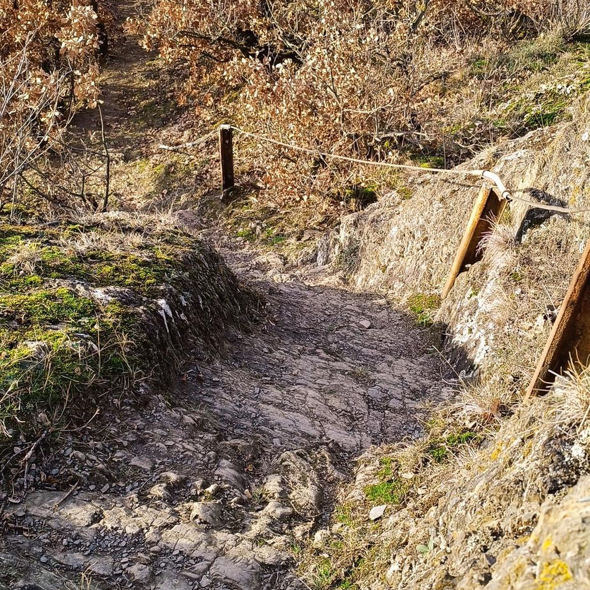
꽤 가파른 협곡. 발 디딤과 지구력이 필요합니다. 그리고 사실 자전거에는 적합하지 않습니다.
0
0

여기 들르는 사람은 이를 위해 무언가를 해야 했습니다. Murg에서 오는 길은 부분적으로 극도로 가파릅니다.
0
0


A truly fantastic hike. Recommended when visibility is good; magnificent views. Well-maintained hiking trails, steep ascent but easy descent.
0
0

The Altmann (2,435 m) is one of the most striking peaks in the Alpstein, with a fantastic panorama extending all the way to Lake Constance, weather permitting. I found the final climb to the summit (approx. 30 minutes one way) technically challenging, steep, and exposed (UIAA II). Before the summit cross, I found a key section: a ridge section about 5 m long and only about 30 cm wide, with a vertical drop of about 30 m on both sides. Absolute surefootedness and a head for heights are required here. The Altmann remains a fascinating memory for me, but without a repeat. Further down, at the signposts to the Zwinglipass Hut, several groups split up for an hour, during which some attempted the summit climb, while others followed the ascent from a distance.
2
0


Stairs are also easy for dogs to use, at least going up.
0
0

There are almost no safety devices, and the path is unmarked, so everyone climbs independently. Shortly before the summit, a very narrow ridge must be crossed.
0
0


찾고 계신 것을 찾지 못하셨나요?
세인트 갈렌에서 더 많은 산악 하이킹 & 경로를 확인하고 목적지에서 완벽한 경로를 찾아보세요.
