샤미 최고의 러닝 경로
4.5
(91)
3,505
달리기 하는 사람
29
러닝
샤미에서 하이킹하며 그뤼에르 지구 구석 부분까지 살펴볼까요? 샤미에 있는 모든 하이킹 및 워킹 경로 컬렉션 중 가장 멋진 하이킹 경로를 엄선하여 소개해드릴게요. 다른 하이커가 공유한 실제 팁과 사진을 살펴보고 후기를 읽으며 마음에 드는 샤미 워킹 경로를 찾아보세요.
마지막 업데이트: 8월 30, 2026
5.0
(5)
188
달리기 하는 사람
9.26km
01:10
220m
220m
보통 조깅. 좋은 체력 필요. 대부분 포장된 지면. 실력과 관계없이 누구나 갈 수 있음.
5.0
(3)
170
달리기 하는 사람
9.78km
01:41
740m
740m
Jog the La Vatia - Essences Trail in Charmey, Switzerland, a difficult 6.1-mile route with 2431 feet of gain and panoramic views.

무료 회원 가입
5.0
(1)
87
달리기 하는 사람
13.6km
01:51
570m
570m
This difficult 8.5-mile (13.6 km) jogging loop in Gantrisch Nature Park offers stunning alpine scenery and panoramic views of Lake Schwarzse
4.0
(1)
11
달리기 하는 사람
11.8km
01:25
220m
90m
보통 조깅. 좋은 체력 필요. 대부분 갈 수 있는 길. 일부 구간에서 미끄러지지 않게 조심해야 함.
4
달리기 하는 사람
8.89km
02:05
780m
780m
어려운 조깅. 우수한 체력 필요. 튼튼한 신발을 신고 미끄러지지 않게 조심해야 하며, 높은 산을 오른 경험이 있어야 함.
더 다양한 경로와 다른 탐험가들의 추천을 살펴보세요.
무료 회원 가입
이미 komoot 계정이 있나요?
투어 추천은 다른 사람들이 komoot에서 완료한 수천 개의 활동을 바탕으로 구성되어 있습니다.
오늘 무료 계정으로 시작하세요
다음 모험이 기다리고 있어요.
로그인 또는 가입하기
샤미 주변 인기 장소
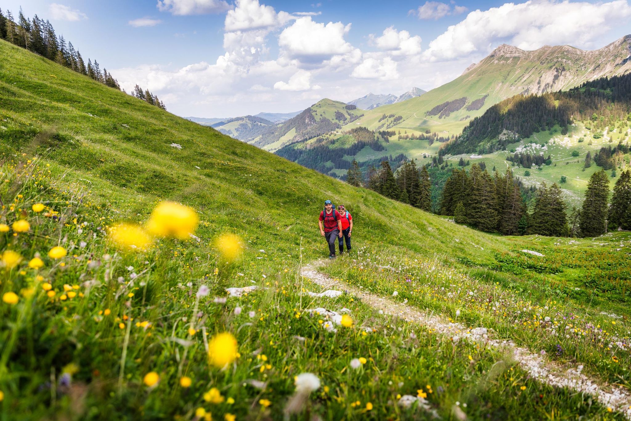
Your summer hikes in the Fribourg Region
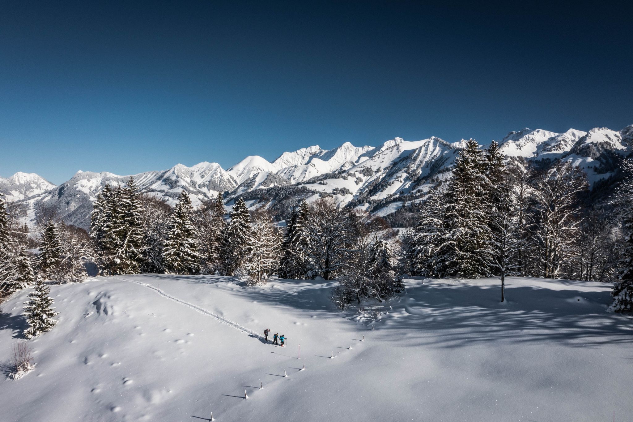
White landscapes – hiking on snowshoes in the Swiss canton of Fribourg
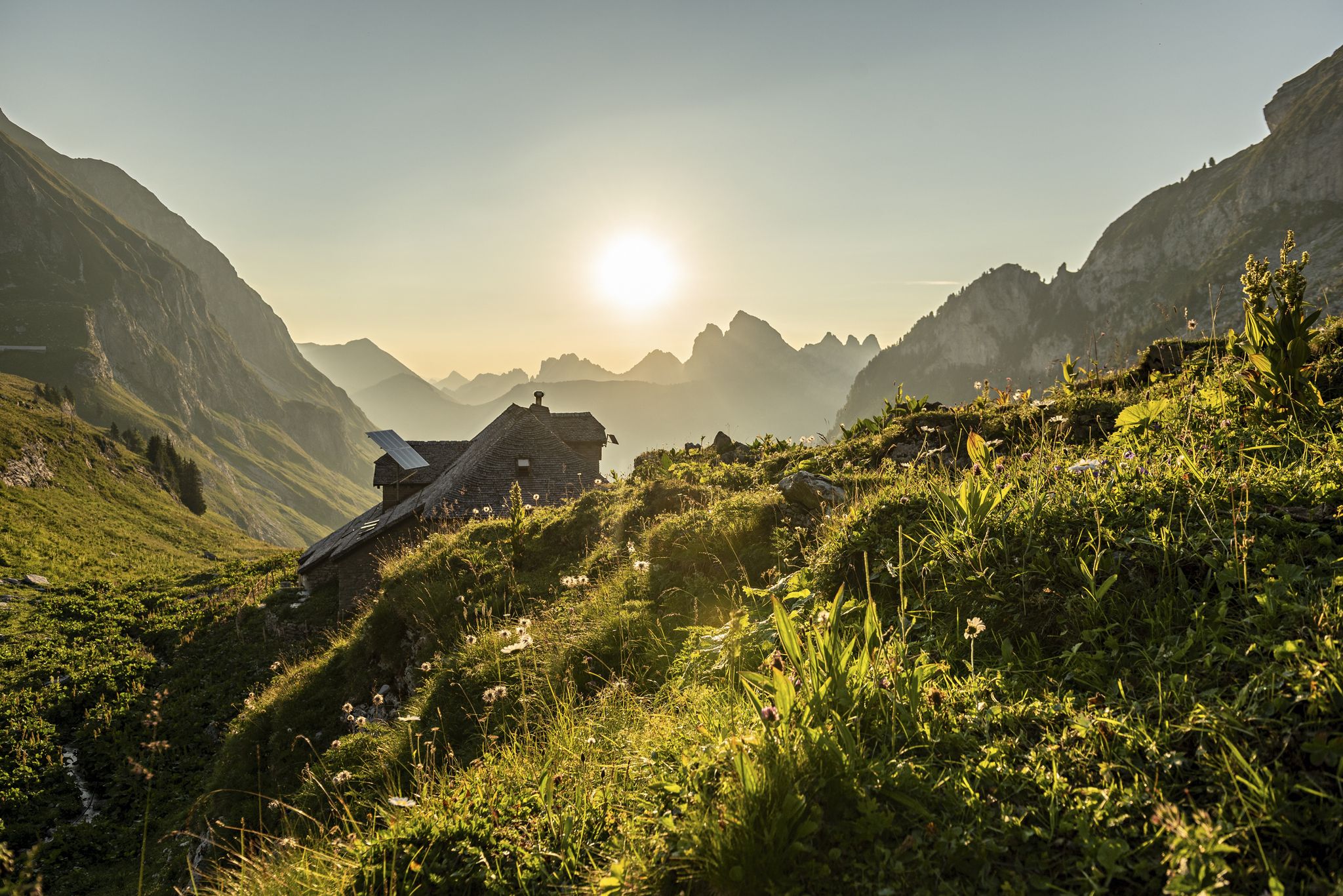
Fribourg — Close to nature
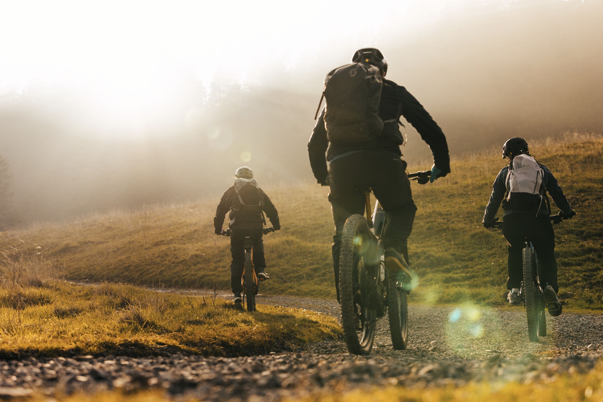
Bergpanorama für Feinschmecker – Grand Gourmet Rides durch die Schweiz
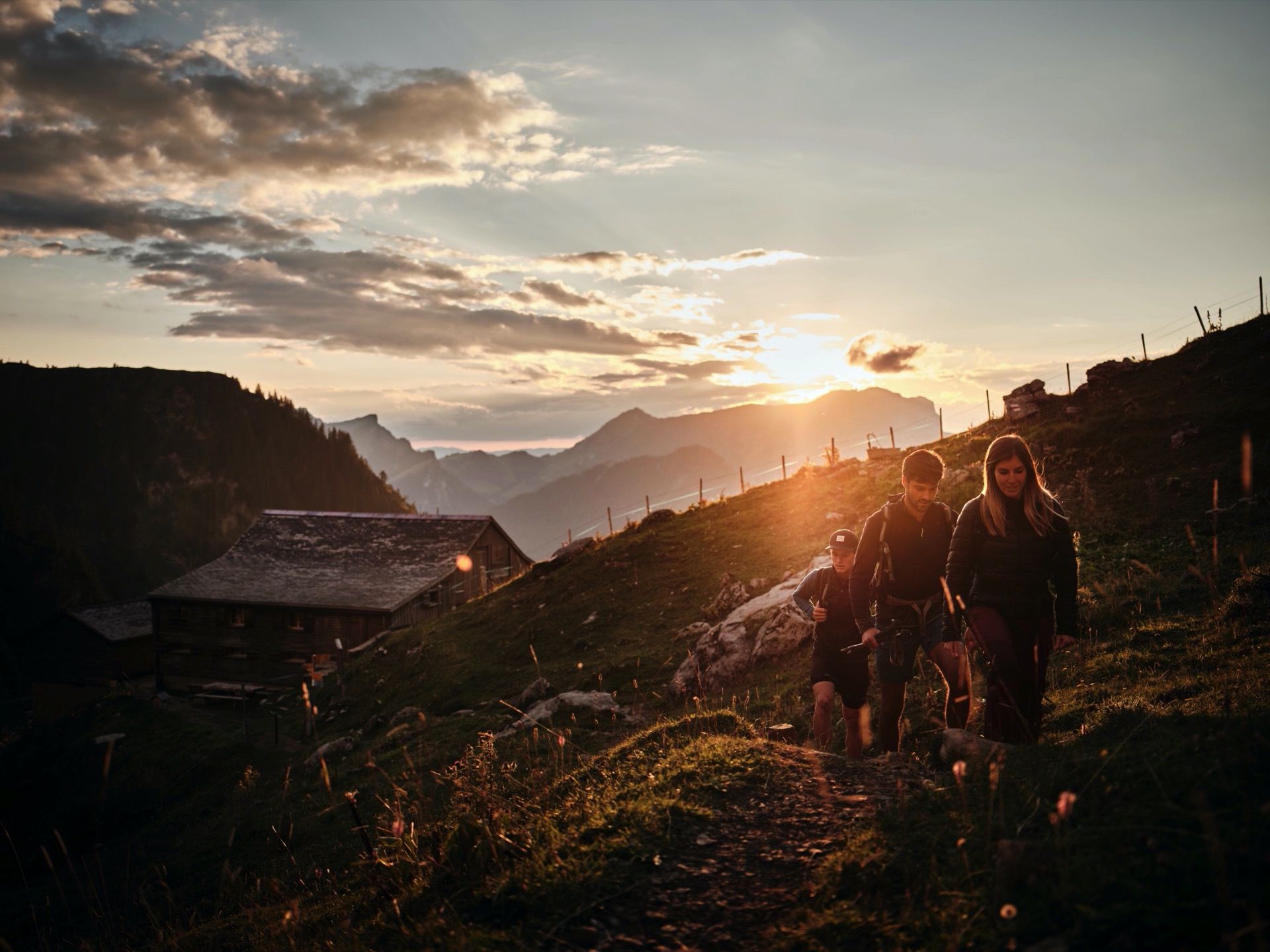
Vom See zum Berg - Wandern rund um Charmey
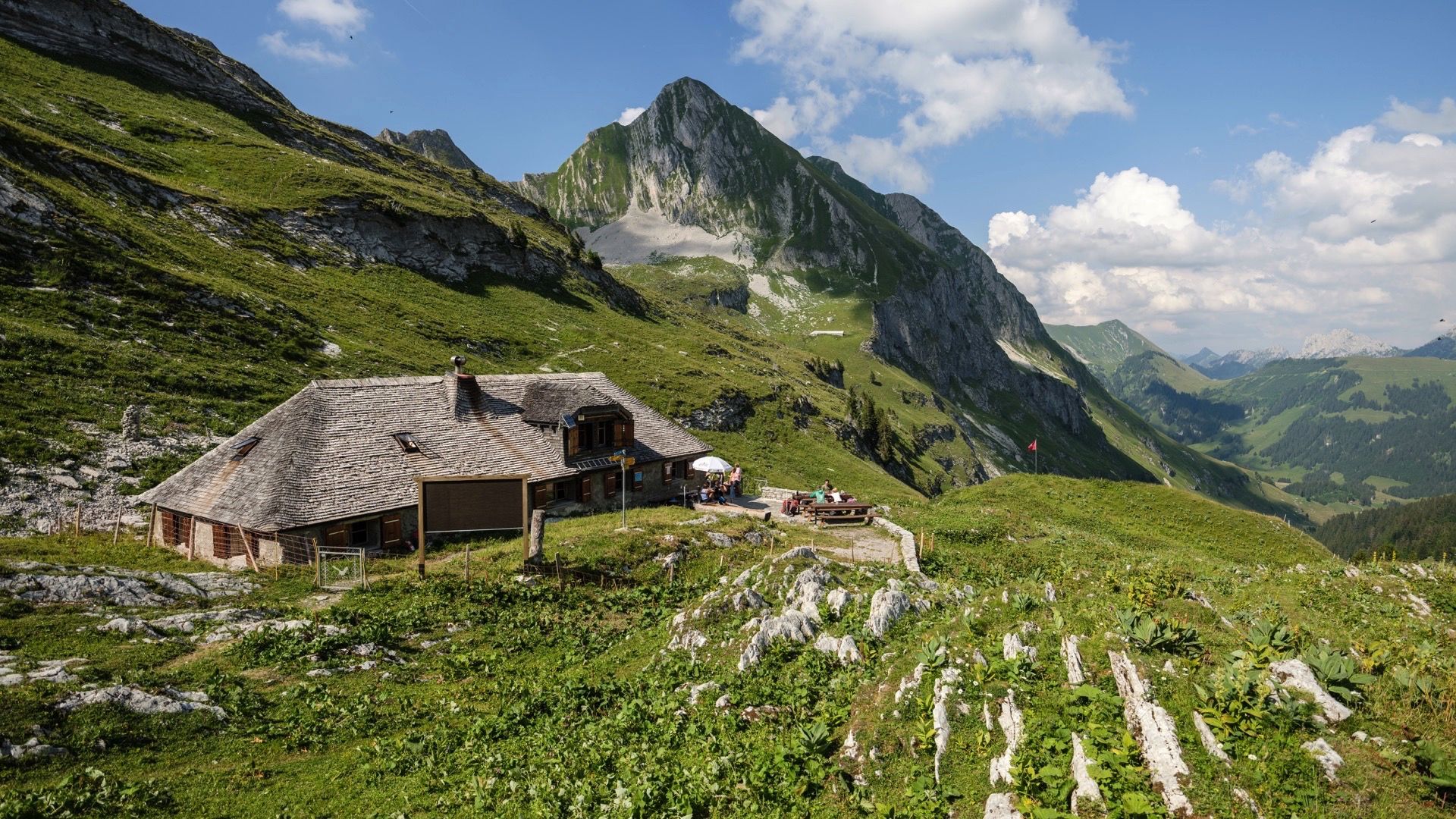
Le Grand Tour des Vanils - 158km in 11 Etappen
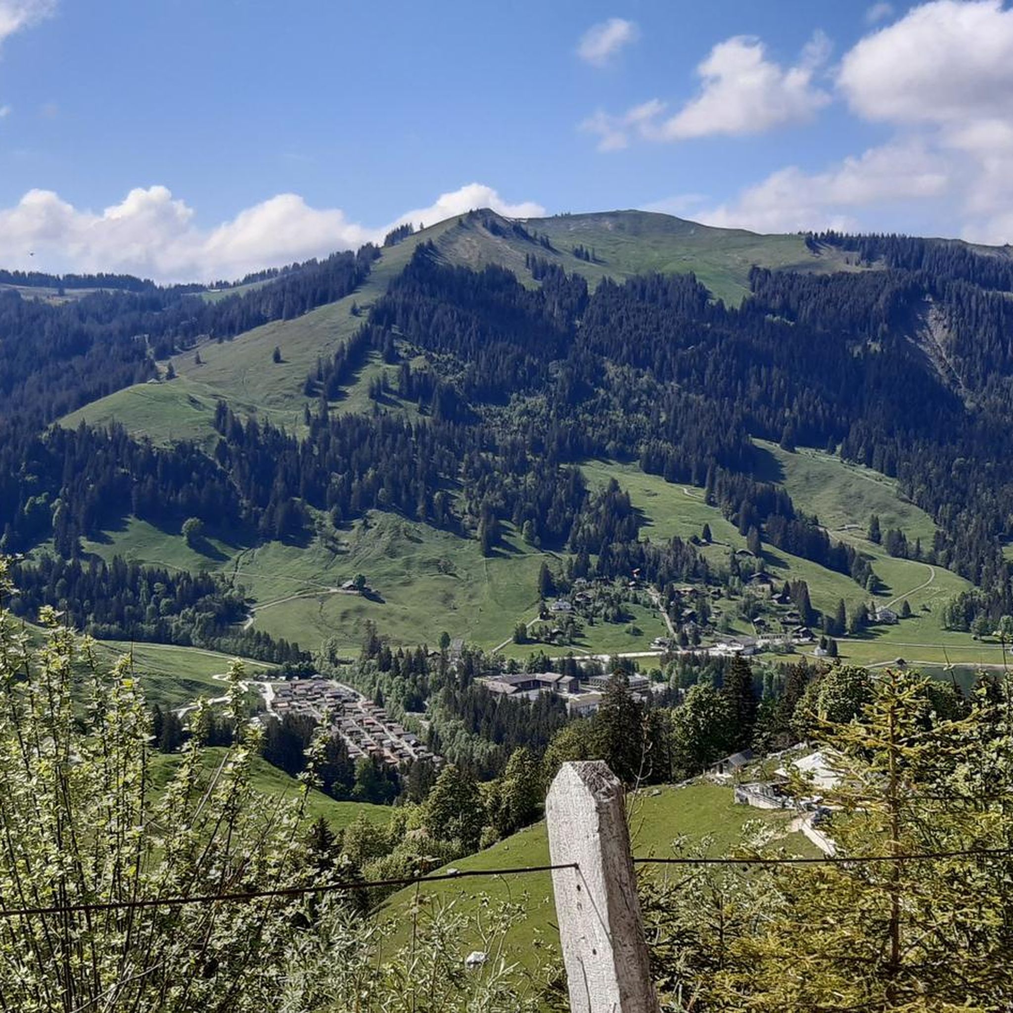
샤미 하이킹
샤미 MTB 트레일
샤미 사이클링
샤미 로드 사이클링 경로
샤미 주변의 다른 모험


커뮤니티 팁

전체적으로 닫혀 있고 비어 있으며, 일시적이거나 장기적인 (?) 운영 중단입니다. 웹사이트도 작동하지 않습니다.
2
0


Destination of various snowshoe tours (271, ...)
0
0

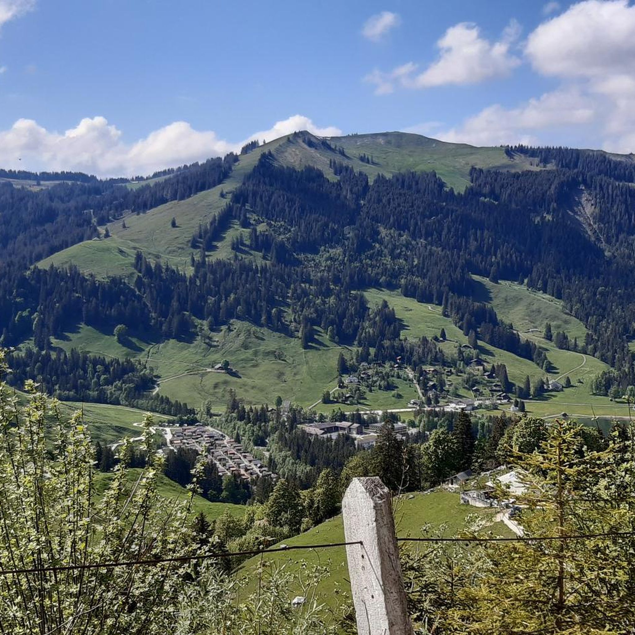
Charmey is a small resort nestled in the Jogne valley. The village is in the heart of the magnificent Friborg Pre-Alps, and it is a magical place for running.
2
0
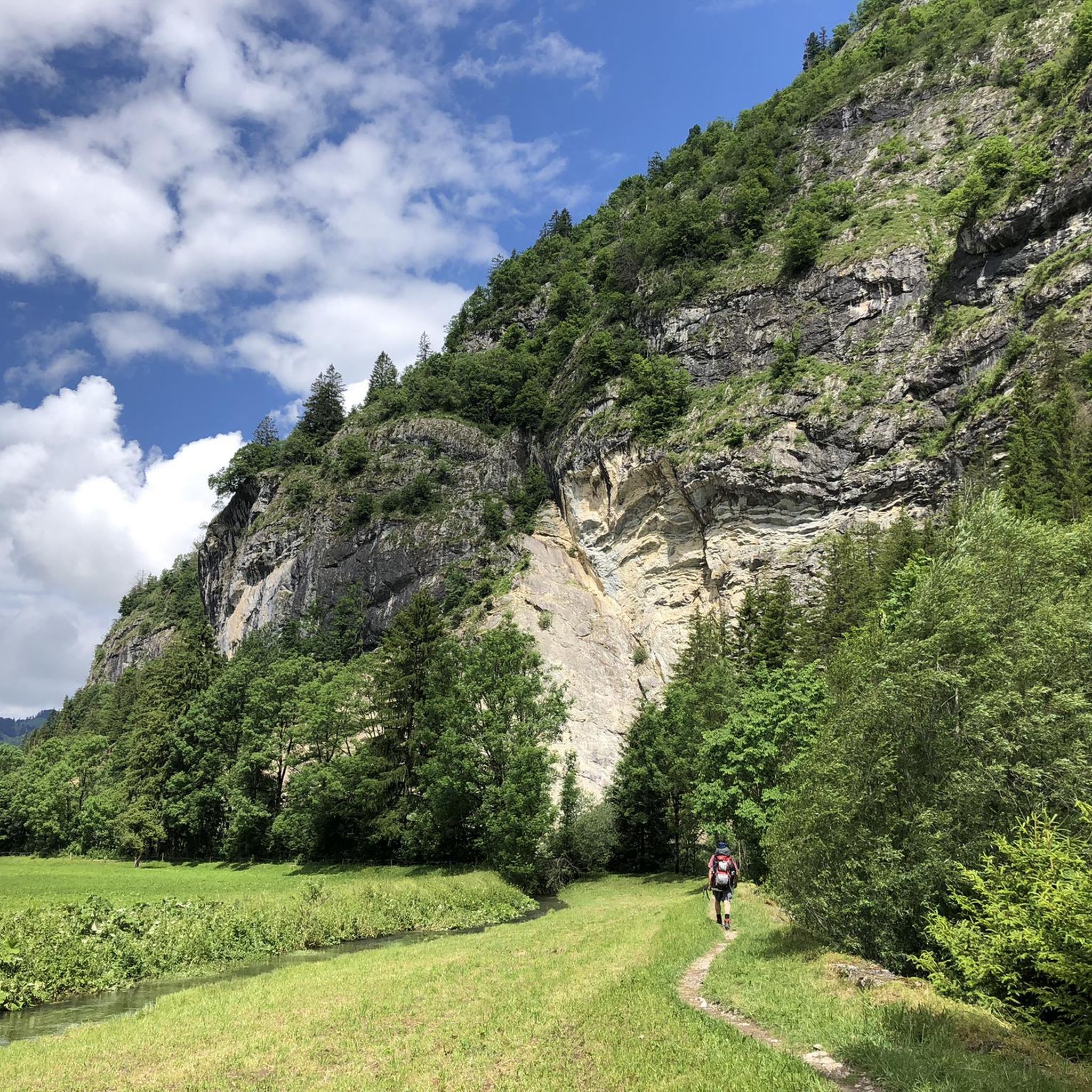
Beautiful path along the Jaune with breathtaking panoramas of the south face of the Laubspitz.
0
0
Magnificent waterfall a few hundred meters from the village of Jaun.
0
0

The Dent de Savigny is a challenging but rewarding peak located in the Swiss Pre-Alps, near the town of Charmey. It offers a breathtaking view of the surrounding peaks, such as the Dent de Ruth, the Cheval Blanc and the Vanil Noir. The best time to visit is from May to October, when the wildflowers are in bloom and the weather is mild. The hike is rated T4+3, meaning it is a demanding mountain hike that requires good physical condition, surefootedness and some experience of alpine terrain. The hike has exposed sections that are secured with steel cables and chains, but also unsecured sections that are steep and precarious. The hike should not be undertaken in wet or snowy weather as it can become very slippery and dangerous.
0
0

Tissiniva is a hidden gem of the Swiss Alps, a three-peaked ridge that offers stunning views of the Dent de Brenlaire and the Gros Mont valley. To reach this summit, you can start from the village of Planeys and follow a path that crosses mountain pastures, farms and forests.
2
0


더 살펴보기
다른 지역의 최고의 러닝 트레일 & 경로를 살펴보세요.
