타네론에서 가장 멋진 15개의 산길
타네론에서 가장 멋진 산길을 아래에서 살펴보세요. 풍경을 감상하기에도 좋고, 오르막길/내리막길을 따라 걷기에도 좋은 곳이랍니다. 커뮤니티가 특별 도움을 통해 공유한 콘텐츠인 만큼 믿을 수 있는 정보이니 마음에 드는 산길이 있다면 바로 다음 모험 계획에 추가해서 바로 방문해보세요.
마지막 업데이트: 8월 19, 2026


이런 장소를 발견하려면 지금 가입하세요
최고의 싱글 트랙, 봉우리 및 다양한 흥미로운 야외 장소에 대한 추천을 받아보세요.
무료 회원 가입

오리아스크 고개에서 프레주스 방향 하산
하이라이트 (구간) • 산악 고개
번역자 Google •
팁에 의해

콜 드 라 카디에르
하이라이트 • 산악 고개
팁에 의해

무료로 가입하여 타네론 주변의 더 많은 산악 고개를 발견하세요.
무료 회원 가입
이미 komoot 계정이 있나요?
오늘 무료 계정으로 시작하세요
다음 모험이 기다리고 있어요.
로그인 또는 가입하기

커뮤니티 팁

I would be happy to give you another tip in the area. From Theoule sur Mer you drive south along the coastal road, past La Figueirette, after the Calanque de Maupas and the Calanque de Maubois you reach Cap Roux. There is a parking lot and a building on the left side of the road (sea side). You can park there. Then continue south along the road for about 200 m. There you go right up to Pic Roux. There is an information board right on the street. At first the road is tarred, after about 30 minutes it turns into natural paths. The hike to Pic Roux takes about 1.45 hours and is very well described. At the summit there is a great view of the Calanques and towards Cannes. Bring a picnic and enjoy the wonderful view from the “peak”. Amusez - vous bien!
2
1

The Peygros oppidum, located three kilometers northeast of the community, documents pre-Roman settlement in the area. The place was first mentioned as Castrum Tannaroni in 1200. The name may come from the root word tan, which refers to the bark of chestnuts and oaks, or it may go back to a pre-European root, according to which tan means mountain. The village belonged to the territory of Grasse and became an independent municipality in 1825 when it separated from Callian.
2
0

The slope is rather constant: to climb to the train. Turn around during the climb (from Pegomas): you can see the Lérins Islands.
0
0

Beautiful trails, stony and technical at times, but so beautiful! Have good sturdy tires, otherwise beware of the risk of punctures!
0
1

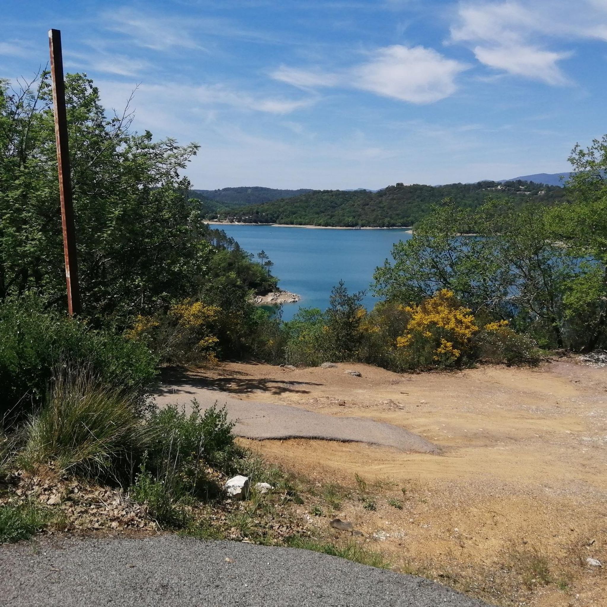
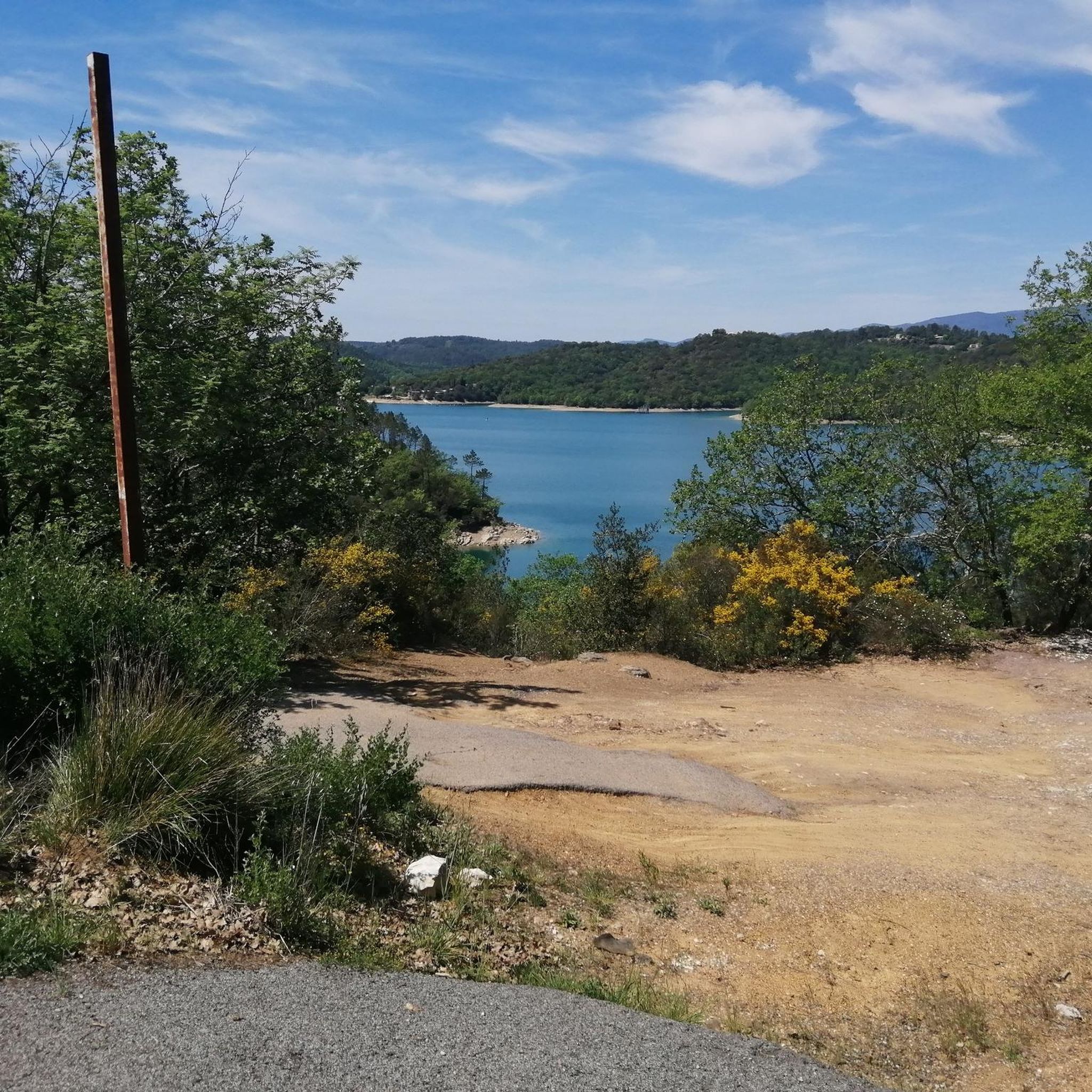
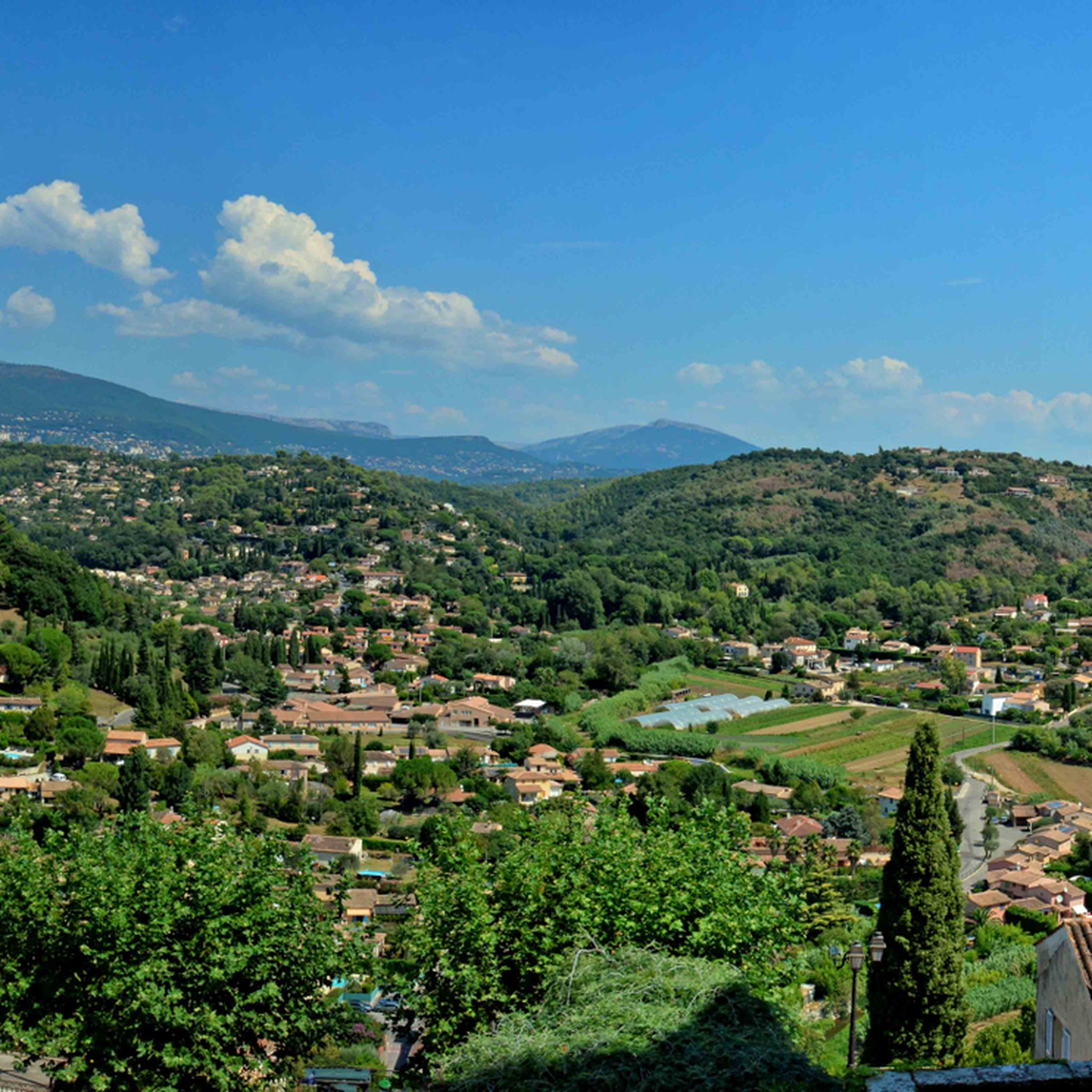
View of the sea and the Southern Alps, great landscape
1
0


타네론 주변에서 가장 인기 있는 명소


더 살펴보기
이 가이드를 통해 더 많은 장대한 산악 통과를 확인해보세요 타네론 주변:
