오트 듀예 최고의 러닝 경로
4.5
(18)
775
달리기 하는 사람
31
러닝
오트 듀예에서 하이킹하며 디뉴레뱅 구석 부분까지 살펴볼까요? 오트 듀예에 있는 모든 하이킹 및 워킹 경로 컬렉션 중 가장 멋진 하이킹 경로를 엄선하여 소개해드릴게요. 다른 하이커가 공유한 실제 팁과 사진을 살펴보고 후기를 읽으며 마음에 드는 오트 듀예 워킹 경로를 찾아보세요.
마지막 업데이트: 9월 1, 2026
2
달리기 하는 사람
13.7km
01:56
580m
580m
어려운 조깅. 우수한 체력 필요. 튼튼한 신발을 신고 미끄러지지 않게 조심해야 하며, 높은 산을 오른 경험이 있어야 함.
12
달리기 하는 사람
14.6km
02:24
900m
900m
어려운 조깅. 우수한 체력 필요. 대부분 포장된 지면. 실력과 관계없이 누구나 갈 수 있음.

무료 회원 가입
6
달리기 하는 사람
11.2km
01:22
350m
350m
어려운 조깅. 우수한 체력 필요. 대부분 포장된 지면. 실력과 관계없이 누구나 갈 수 있음.
8
달리기 하는 사람
13.4km
01:53
550m
550m
어려운 조깅. 우수한 체력 필요. 대부분 포장된 지면. 실력과 관계없이 누구나 갈 수 있음.
5.0
(2)
10
달리기 하는 사람
4.11km
00:27
70m
70m
초급용 러닝. 모든 체력 수준에 적합. 대부분 포장된 지면. 실력과 관계없이 누구나 갈 수 있음.
더 다양한 경로와 다른 탐험가들의 추천을 살펴보세요.
무료 회원 가입
이미 komoot 계정이 있나요?
투어 추천은 다른 사람들이 komoot에서 완료한 수천 개의 활동을 바탕으로 구성되어 있습니다.
오늘 무료 계정으로 시작하세요
다음 모험이 기다리고 있어요.
로그인 또는 가입하기

커뮤니티 팁

Thoard is a dynamic medieval village. The town is full of streets and galleries. The bell tower of the 12th century church dominates the city perched on its rocky outcrop. We enjoy an ice cream there or sit at the inn. Village festivals punctuate the lives of residents throughout the year in this town where the surrounding area is concentrated. Beautiful views of the lavender fields make it a destination that smells of Provence.
2
0
From Sisteron, the Col de Fontbelle is 26.3 kilometers of climbs with segments at 6 or 7%, and others between 1.5 and 5%. In your ascent, passing the intermediate Mézien pass after the 6th kilometer tells you that you have made the first part complicated and that you are starting the second part, long but less steep. On the open parts of the pass, you can see the mountain of Gueruen and the mountain of Mélan and its Grande Aiguille.
2
0


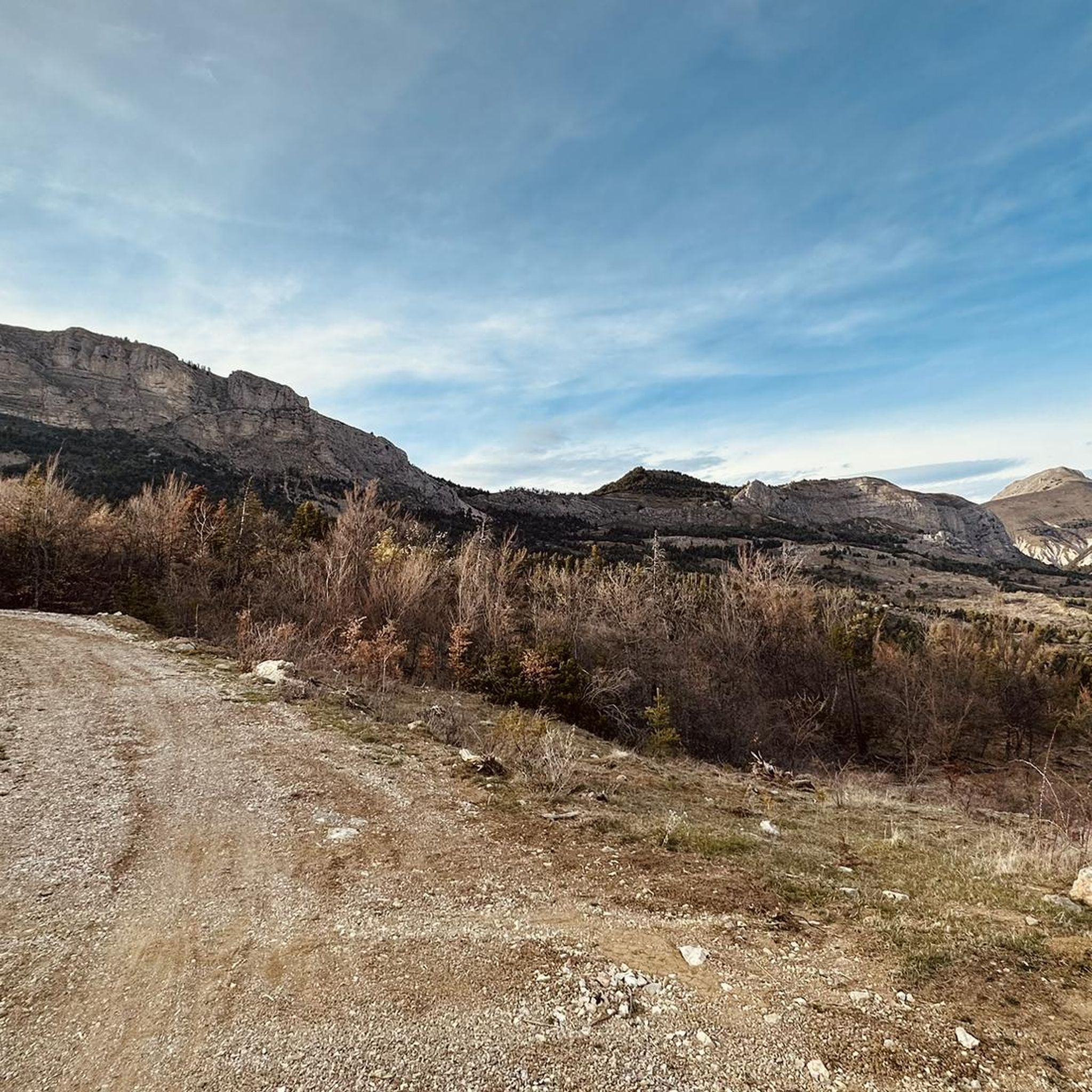
The Col de Fontbelle culminates at 1304m. From the village of Thoard it is a climb of almost 13km which comes in two parts. The first is the most difficult with sustained percentages over almost 9 km including 3 at more than 8% on average which will take you to the hamlet of Mélan then the intermediate pass of Hyssop (1236m) where moreover an exceptional panorama will offer to you (we don't make an effort for nothing anyway). The second part is relatively simple with lower percentages, barely 2.5 km at 3% average which joins the col de Fontbelle located in the forest in a VERY isolated way
3
0

The summit offers a panoramic view of the Écrins massif and the Ubaye valley. Spectacular !
0
0
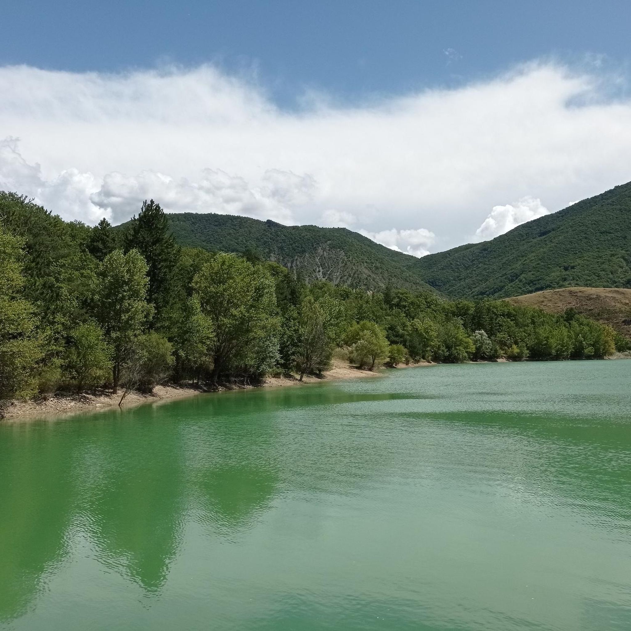
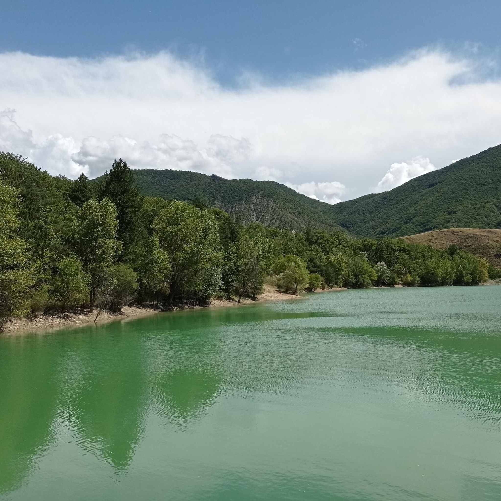
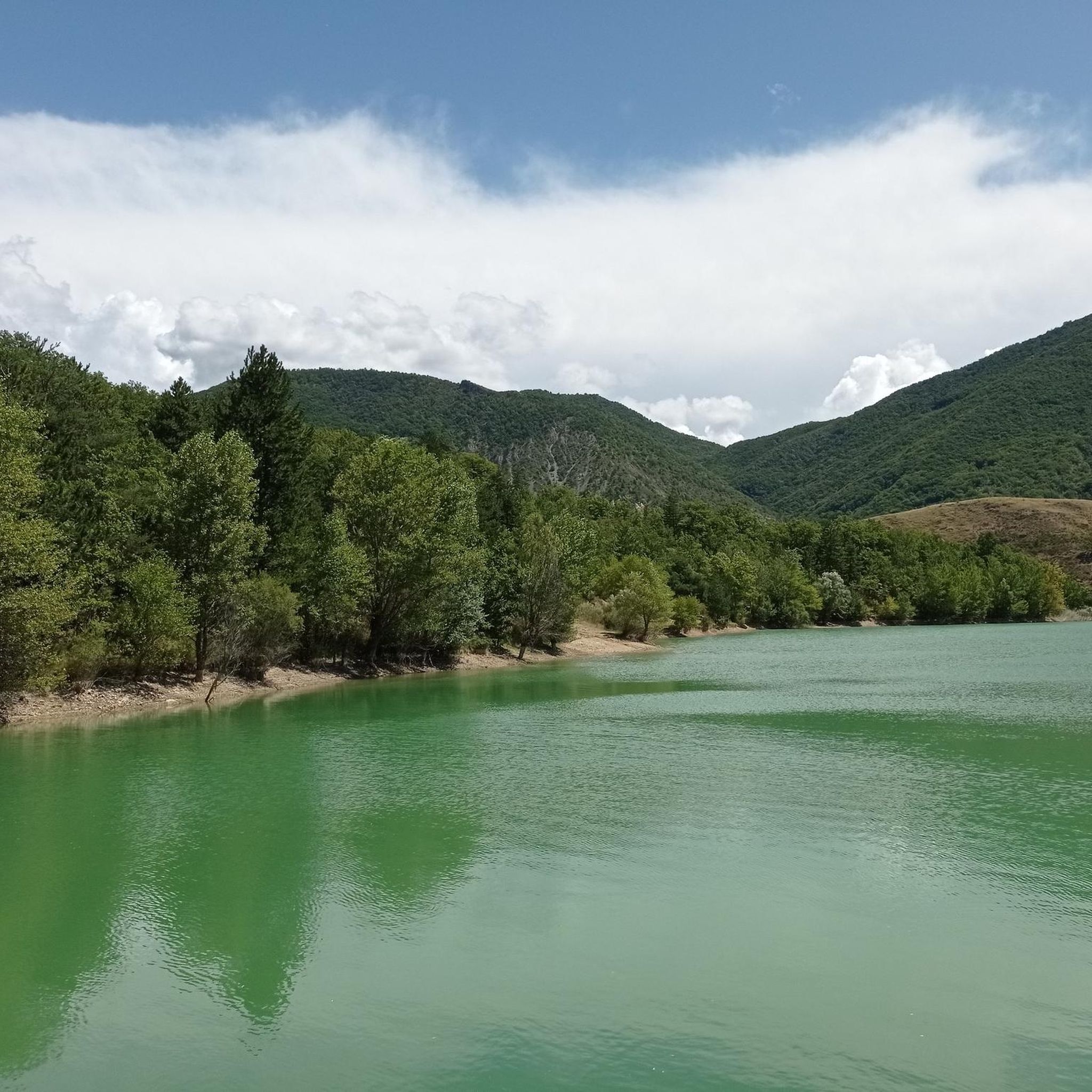
Pretty mountain lake easily accessible by Esparron. The path from here continues towards the Col de Clapouse and the magnificent Monges.
0
0
Located at 2,115 meters, Les Monges is the highest point of the Digne Pre-Alps and offers beautiful views of the region. The hike from Esparron is varied and is done along the Lac des Monges, through the forest and the mountain pastures.
1
0

The Col de Fontbelle from Sisteron is 25km long with an average gradient of 3%.
4
0
오트 듀예 주변에서 가장 인기 있는 명소


더 살펴보기
다른 지역의 최고의 러닝 트레일 & 경로를 살펴보세요.
