15의 생자크가지 명소 & 주요 장소
생자크에는 둘러볼 만한 장소가 많답니다. 하이킹 또는 사이클링을 좋아한다면 생자크에 숨겨진 15
가지 보석을 만날 수 있을 거예요. 이 지역의 주요 명소를 살펴보면서 다음 모험을 계획해보세요.
마지막 업데이트: 8월 23, 2026
데팡스 고개 (1,230 m)
하이라이트 • 산악 고개
번역자 Google •
팁에 의해

아스 계곡의 센티넬 – Andy Goldsworthy
하이라이트 • 기념물
번역자 Google •
팁에 의해

이런 장소를 발견하려면 지금 가입하세요
최고의 싱글 트랙, 봉우리 및 다양한 흥미로운 야외 장소에 대한 추천을 받아보세요.
무료 회원 가입

콜 데 로빈
하이라이트 • 산악 고개
More information: fr.wikipedia.org/wiki/Col_des_Robines and alpenrouten.de/Robines-Col-des_point927.html
번역자 Google •
팁에 의해


무료로 가입하여 생자크 주변의 더 많은 명소를 발견하세요.
무료 회원 가입
이미 komoot 계정이 있나요?
오늘 무료 계정으로 시작하세요
다음 모험이 기다리고 있어요.
로그인 또는 가입하기
커뮤니티 팁

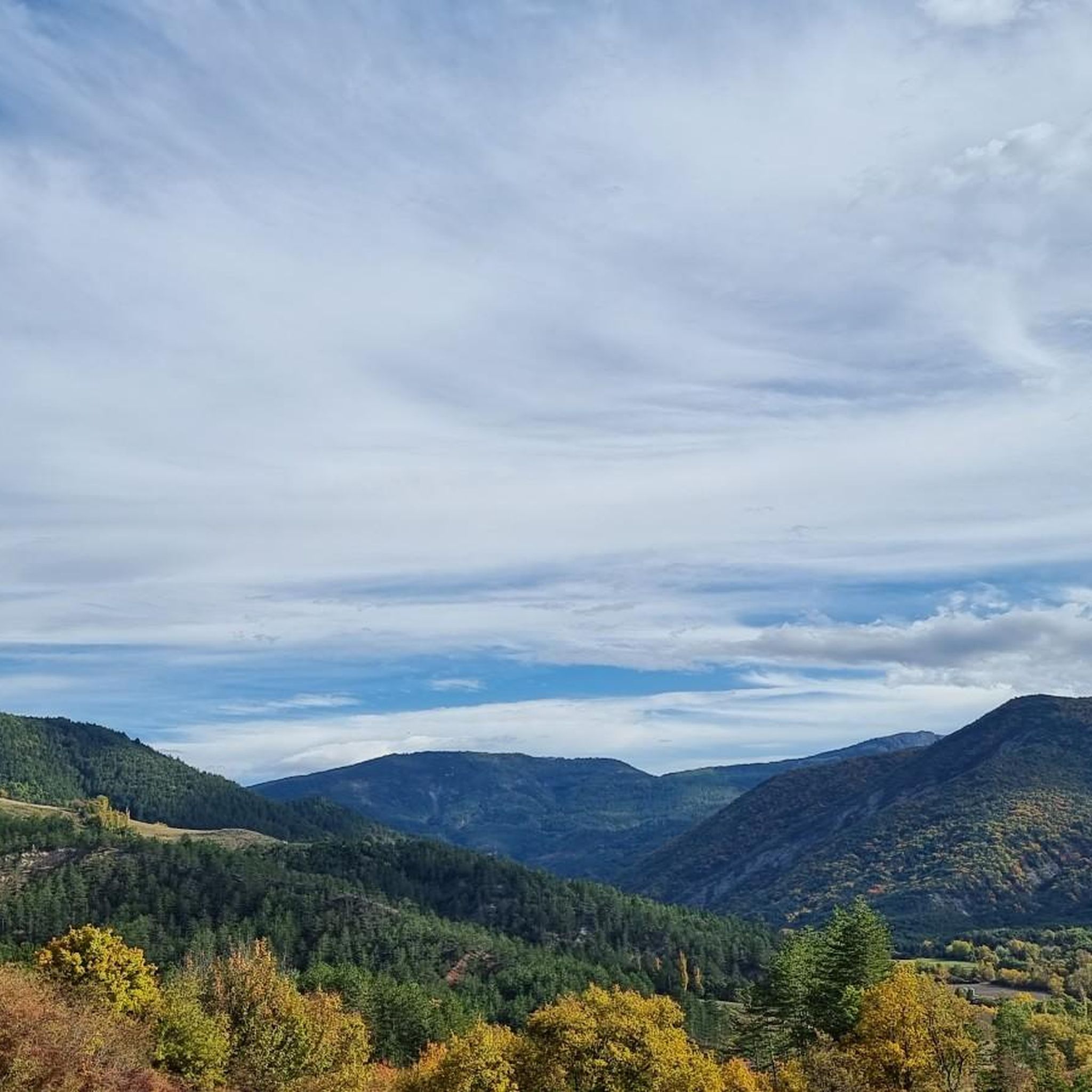
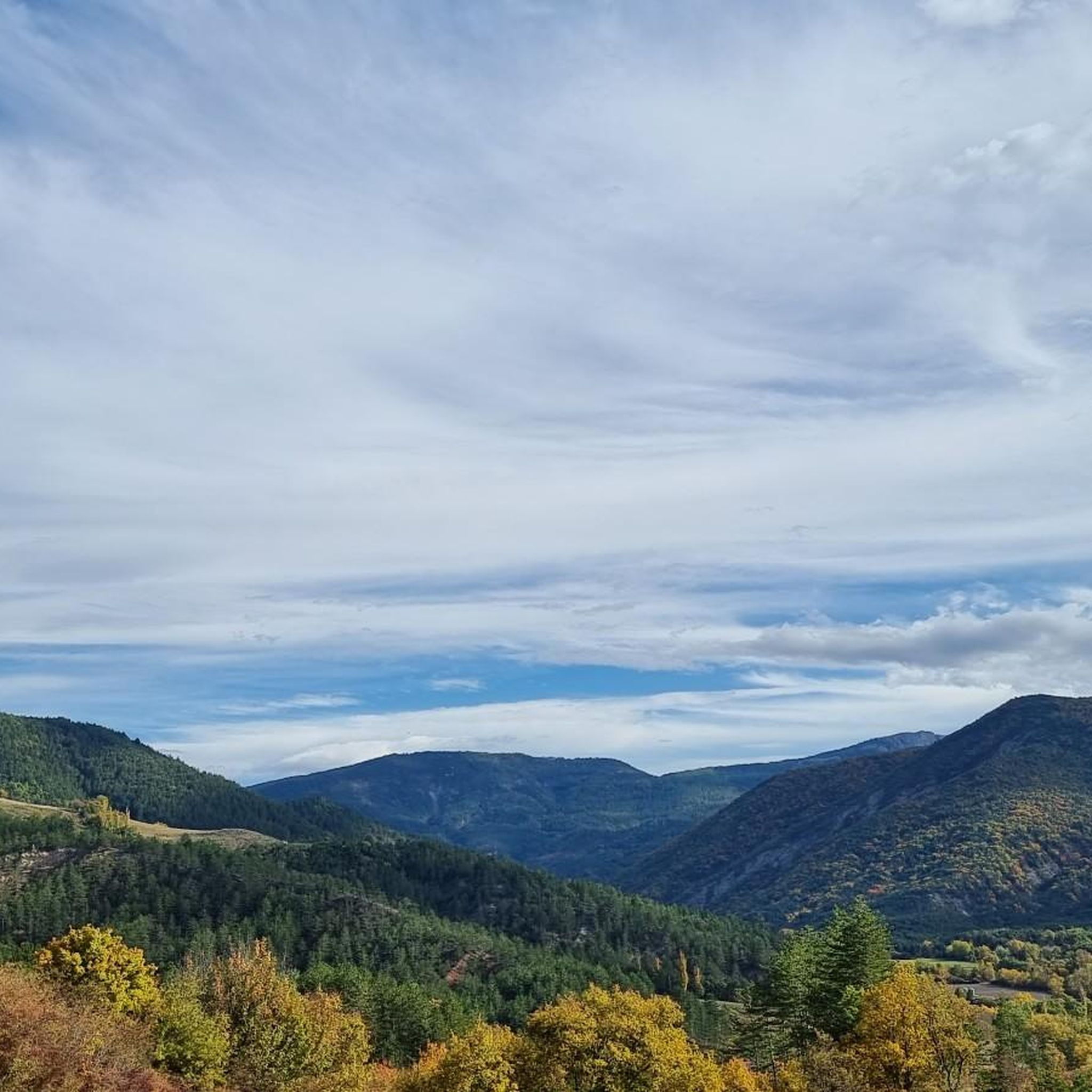
The southern slope, from Chaudon-Norante, is advertised at an average gradient of 6.6% for a length of about 8km. But the road has 4 or 5 flat sections over 150 or 200m, which means that in reality we are very often on slopes between 8 and 10%. This pass nevertheless remains accessible to any moderately trained cyclist and, the icing on the cake, it is reserved for cyclists at certain times during the summer. The view at the summit is magnificent.
0
0

Beautiful landscape, small road, only the last bends are strenuous.
3
0

The Col des Robines peaks at 988m and will allow you to climb to almost 1000m without making any effort because from Moriez you would have a slope of around 3km with a slope not exceeding 5% and on the Saint-André les Alpes side this will be shorter, around 1.5 km, but harder with an average of 6-7%. Be careful, however, of the often very heavy traffic on this pass because it is on the RN 202 which is HUGELY used almost all year round.
1
0

At the bend of a hairpin bend, this egg is a work of Andy Goldsworthy. This is one of the three “Sentinels” of the Refuge d’Art course; it represents the Asse valley.
1
0

The Col de Corobin from Chaudon-Norante is a climb in the Alpes de Haute Provence region. It has a length of 7.7 kilometers and an ascent of 535 vertical meters with an average gradient of 7%, which implies a difficulty level of 413. The top of the ascent is located at 1,220 meters above sea level. On the other hand, from Digne-les-Bains via Col de Pierre Basse, it is 14.6 kilometers long and climbs 650 vertical meters with an average gradient of 4.4%, which implies a difficulty level of 448.
2
0
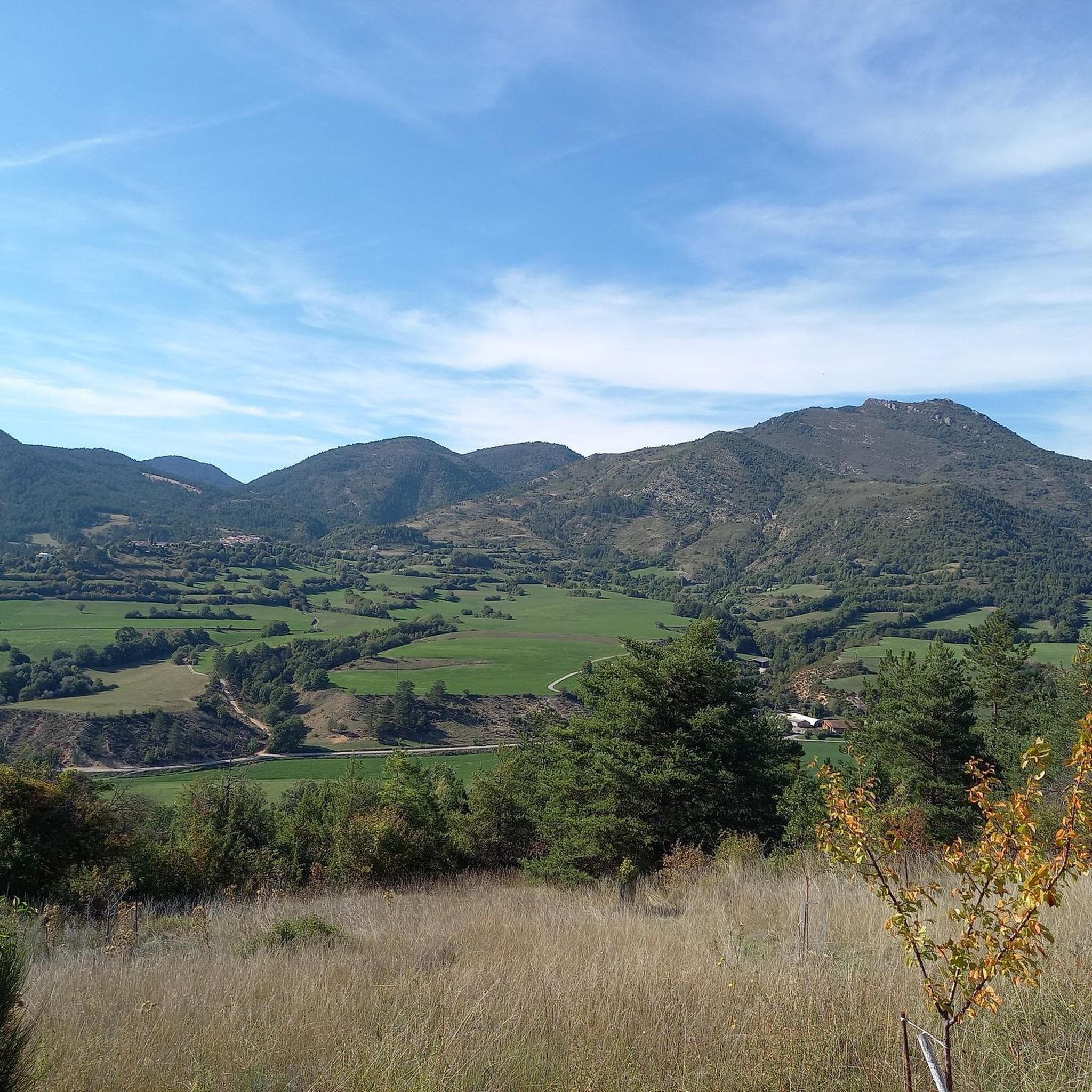
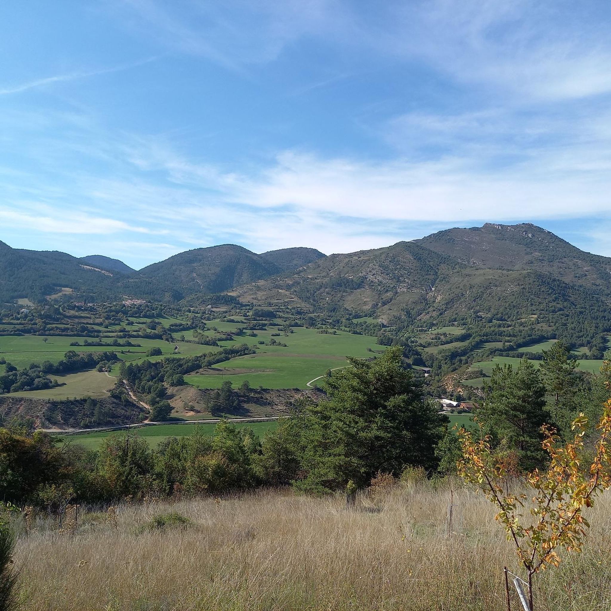
The Corobin pass peaks at 1,211 meters. From Digne-les-Bains a fairly long slope of almost 16 kilometers awaits you. The first eight are pretty straightforward. You will cross the intermediate Col des Abeilles (710 meters). Secondly, you will see the slope steepen quite significantly over 3.3 kilometers at almost 9% on average to reach the second intermediate pass, that of Pierre Basse (1,065 meters). Arriving at this pass, take the time to breathe, a flat area then a slight descent over three kilometers towards the hamlet of La Clappe will help you. Then, return to the attack for 1.4 kilometers at an 8% average, taking the eight bends which will allow you to cross the summit of the Col du Corobin.
2
0

On the western slope, after going up the long Asse de Clumanc Valley from Barrême, the difficulties really begin in Tartonne with a first ramp of 1.5 km at 6.5%. Then after a small flat area comes a nice final of 2.6 km where the slope will be around 7%. On this side you can see one of Andy Goldsworthy's sentinels, an ovoid-shaped cairn placed at the side of the road as part of an artistic trail created by this renowned artist practicing land art. On the eastern slope, nothing very complicated until Lambruisse with 5 km where the hardest passage will not exceed 4.5%. On the other hand, things become tougher with the final including 1.8 km at 6.5% on average, but the last 350 meters are at 8.5%. The road is very beautiful and quiet on both sides. This pass is enchanting.
2
0
This strange construction which sits in one of the bends of the Col du Défens is in reality a work by Andy Goldsworthy, a major figure in land art. It is part of the route entitled “Refuge d’art” which offers a 150 kilometer hike, imagined and created by the British artist through the National Geological Nature Reserve of Haute-Provence. This artistic itinerary, original and unique in Europe, combining contemporary art, hiking and rural heritage, includes ten works scattered throughout the Dignois region. Among them, three ovoid stone cairns, designated as “Sentinels”, one for each of the three valleys of the Haute-Provence Geological Reserve. Besides this one which represents the Asse valley, you can find another sentinel in the Clue de Barles, at the edge of the road at the foot of the cliff, representing the Bès valley, and the third in the commune of Authon in the Vançon valley. “It is the top of the cairn which brings the energy of the stone to its peak, just as it is in the keystone of an arch that all the energy is concentrated. »Andy Goldsworthy Andy Goldsworthy's work and vision were the subject of a film entitled "Rivers and tides" which you can see here: https://www.dailymotion.com/video/x15e83f?playlist=x54l1y or just the trailer: https://www.dailymotion.com/video/xjggqk?fbclid=IwAR2l_oUGJuU5sc5vLobLojCfRrBf3xa42fqjOKc-uL4DrOQomGKoypSHfWk For more information on the “Refuge d’art” route: https://www.tourisme-alpes-haute-provence.com/refuge-art-andy-goldsworthy/
3
1
생자크 주변에서 가장 인기 있는 경로


더 살펴보기
찾고 있는 하이라이트를 아직 못 찾으셨나요? 다른 지역의 주요 명소 가이드를 확인해보세요:
