20의 로손가지 명소 & 주요 장소
로손에는 둘러볼 만한 장소가 많답니다. 하이킹 또는 사이클링을 좋아한다면 로손에 숨겨진 20
가지 보석을 만날 수 있을 거예요. 이 지역의 주요 명소를 살펴보면서 다음 모험을 계획해보세요.
마지막 업데이트: 10월 9, 2026
메장 산 남쪽 정상
하이라이트 • 정상
You are also precisely on the watershed line.
번역자 Google •
팁에 의해

콜 드 라 크로아 드 부티에르
하이라이트 • 산악 고개
번역자 Google •
팁에 의해

이런 장소를 발견하려면 지금 가입하세요
최고의 싱글 트랙, 봉우리 및 다양한 흥미로운 야외 장소에 대한 추천을 받아보세요.
쿠봉에서 브리브-샤랑삭까지 그린웨이
하이라이트 • 자전거 도로
번역자 Google •
팁에 의해

쿠봉 생조르주 교회
하이라이트 • 종교적 장소
From 1740 its surface area was …
번역자 Google •
팁에 의해

무료로 가입하여 로손 주변의 더 많은 명소를 발견하세요.
이미 komoot 계정이 있나요?
오늘 무료 계정으로 시작하세요
다음 모험이 기다리고 있어요.

커뮤니티 팁

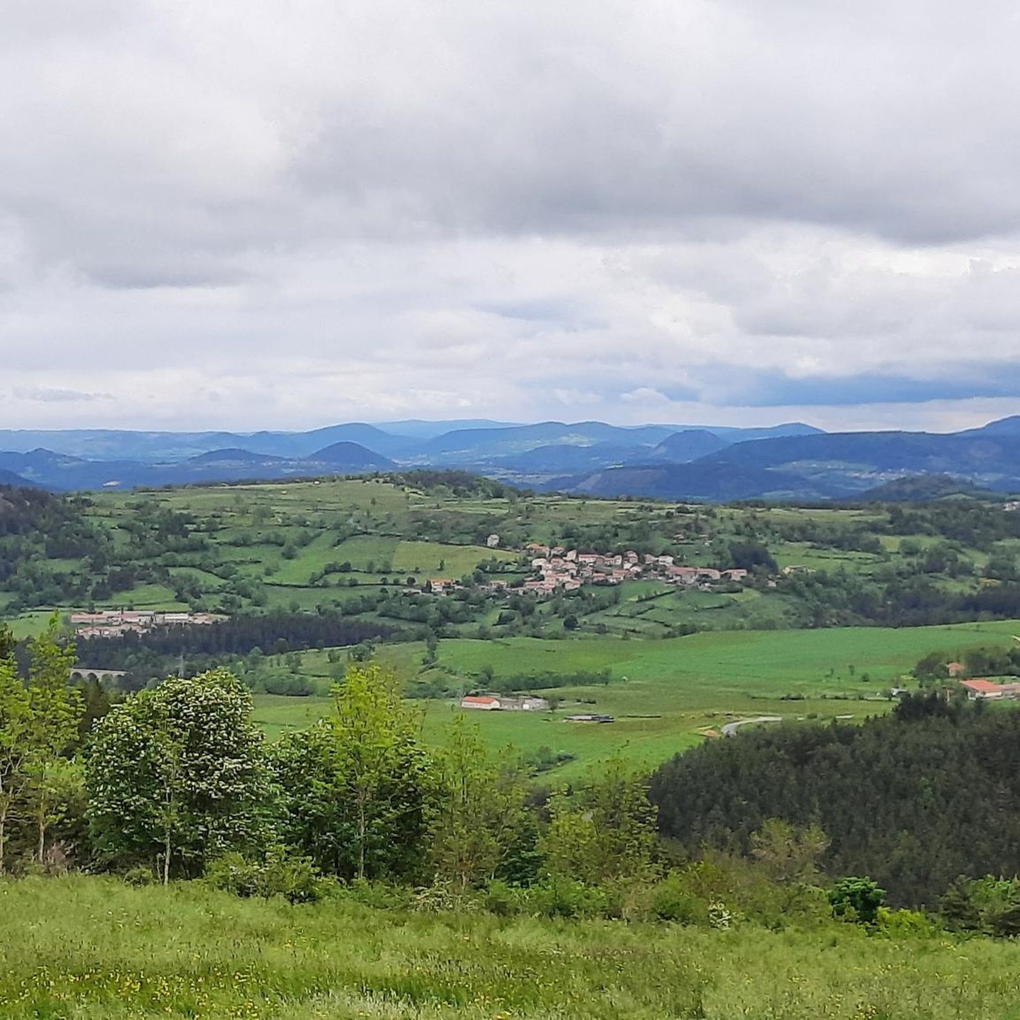
Beautiful viewpoint overlooking the village. Be careful on the climb to the cross; the rock is polished, and there's a risk of falling!
0
0

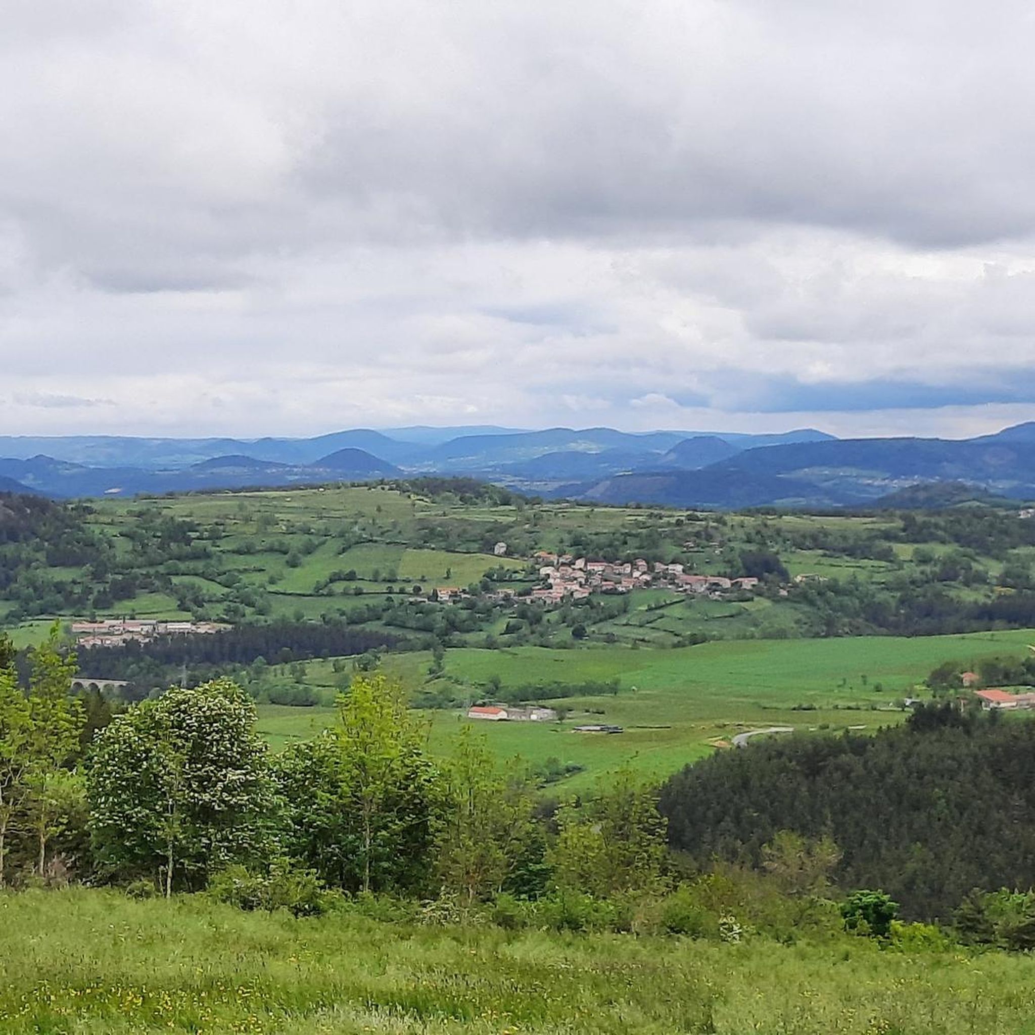
Lots of hikers. Be polite and share the trail. The descent with the small steps is a treat.
0
0

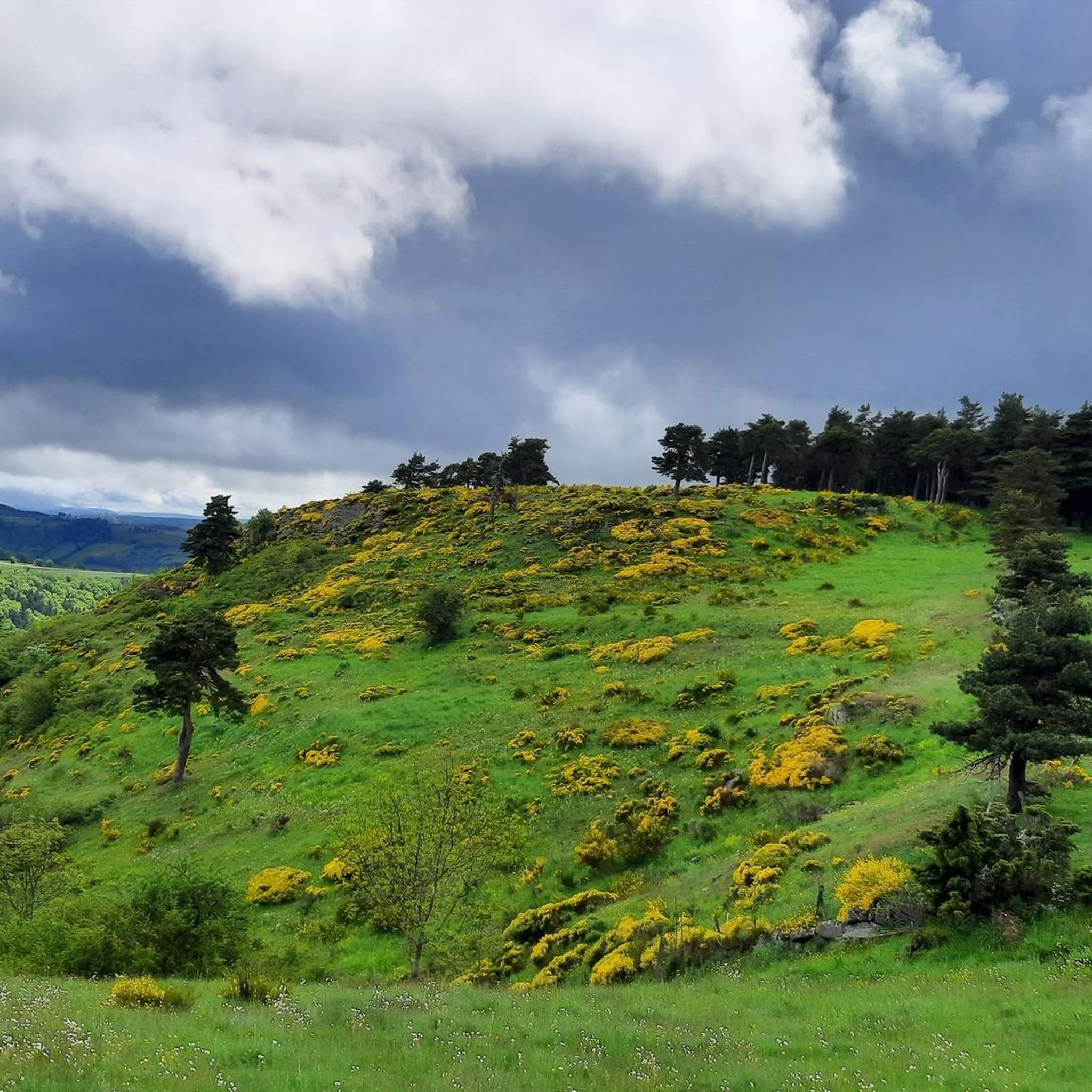
A pass at an altitude of over 1500 m. It is the highest in Ardèche.
0
0

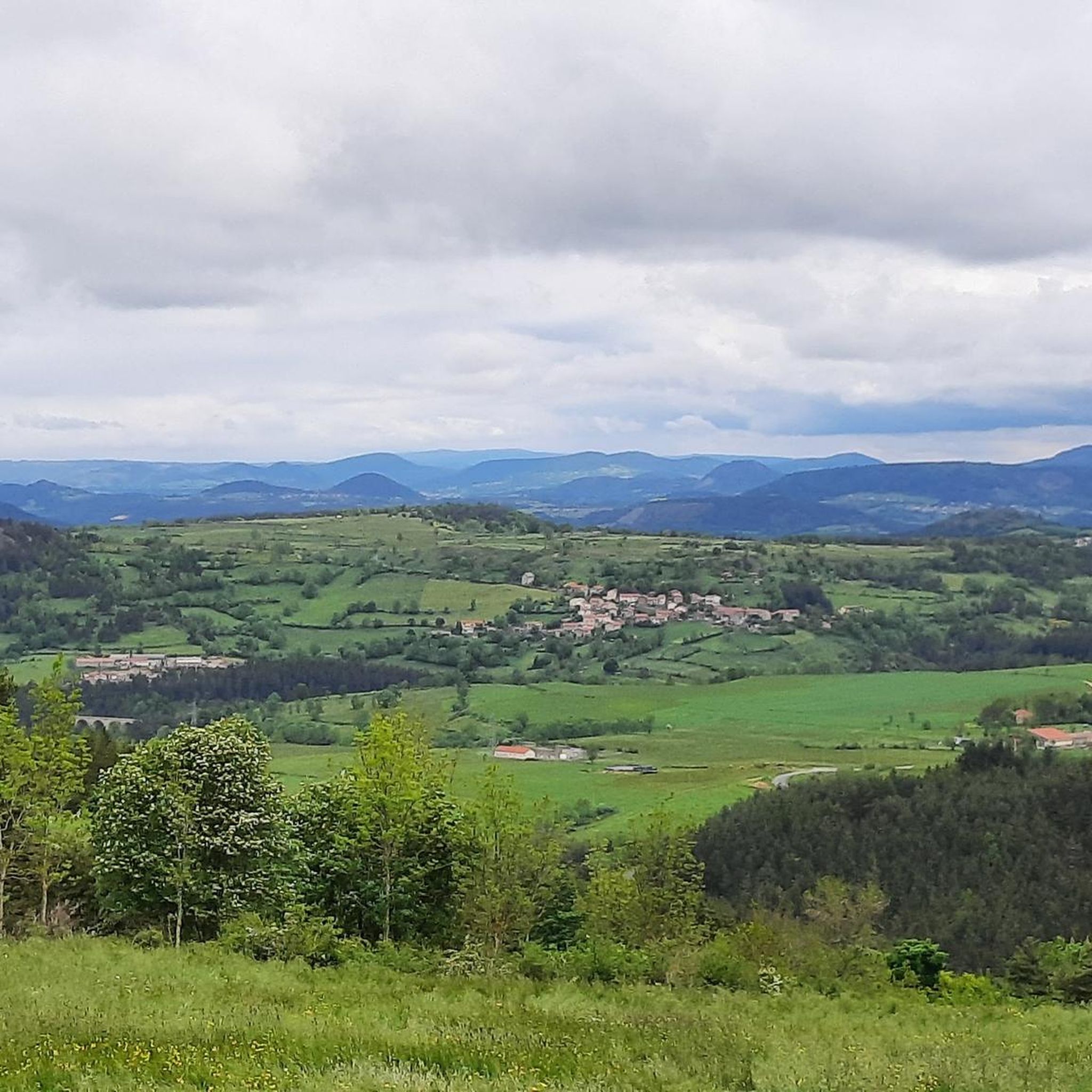
From the parking lot of the Coubon train station, a little warm-up by going down the greenway to Brives Charensac where there is a small crossing of the Loire then join the road to get back to the transcévenole. There, the path is a natural path if I may say so where you will find stones but not smooth ground as you can find on the greenways. There are about 4 and a half km of this stone path. Then after going through a tunnel towards Lantriac, the path is much more passable. After there is a fork on the right, we cross a road and take a small path for 150 to 200 m which can be cluttered with vegetation, but it is passable. After a climb, we come to a path where there are stones. The climb can be difficult if you do not have electric assistance, or a low level of fitness. Then we join a road for 150 to 200 m before turning left and enjoying a phenomenal panorama. Then a descent where you have to take your time, a crossing of a very pleasant little village and a very smooth path but in which there can be difficulties on the ground. After we join a charming little road before making a small climb to join a small path for a few hundred meters around Arsac. Then the descent on Coubon, and the climb to join the departure car park. Be careful the climb is steep at times.
0
0

The special feature of this church is often found in this region: there is no church tower but a bell wall. The stone blocks of this bell wall have beautiful, natural color nuances. When I tried to enter the church I had a surprise: it was open! However, I quickly realized why this is so: the interior is very simple and plain. But that's exactly what I liked. There are benches, tables and toilets right next to the church and the parking lot.
4
1
The Saint-Georges church was bequeathed to the Monastier-sur-Gazeille abbey in 1090. However, only the central part of the facade remains of the Romanesque building. From 1740 its surface area was considered insufficient but it was not until the beginning of the 19C. so that work can be undertaken to compensate for the cramped conditions of the place. Thus in 1833, the date engraved in the Saint-Ferréol chapel, the entire monument was transformed, except for the central part between the two buttresses. The comb bell tower was then built between 1838 and 1844, its architect would have been inspired by the gable of the Puy-en-Velay cathedral. It replaced the one built in 1810 which itself succeeded the one destroyed during the Revolution. In 1875 a miter window on the façade was opened and the vaults of the church were built.
6
0

The Col de la Croix de Boutières from Saint-Martin-de-Valamas is 27.1km long with a total drop of 1024m. The average gradient is 3.5% with maximum gradients of 9%.
1
1

The Col de la Croix Boutières, at 1,502m, is the highest pass in the Ardèche. It separates the Velay to the west from the Cirque de Boutières to the east.
0
0
로손 주변에서 가장 인기 있는 명소


더 살펴보기
찾고 있는 하이라이트를 아직 못 찾으셨나요? 다른 지역의 주요 명소 가이드를 확인해보세요:
