20의 새시스가지 명소 & 주요 장소
새시스에는 둘러볼 만한 장소가 많답니다. 하이킹 또는 사이클링을 좋아한다면 새시스에 숨겨진 20
가지 보석을 만날 수 있을 거예요. 이 지역의 주요 명소를 살펴보면서 다음 모험을 계획해보세요.
마지막 업데이트: 10월 5, 2026

Voie Fignon
하이라이트 (구간) • 트레일
번역자 Google •
팁에 의해

이런 장소를 발견하려면 지금 가입하세요
최고의 싱글 트랙, 봉우리 및 다양한 흥미로운 야외 장소에 대한 추천을 받아보세요.
글레르 산장
하이라이트 • 휴식 공간
번역자 Google •
팁에 의해
루즈-생-소베르에서 가바르니 서커스를 지나 콜 드 텐트 오르기
하이라이트 (구간) • 산악 고개
번역자 Google •
팁에 의해


오늘 무료 계정으로 시작하세요
다음 모험이 기다리고 있어요.
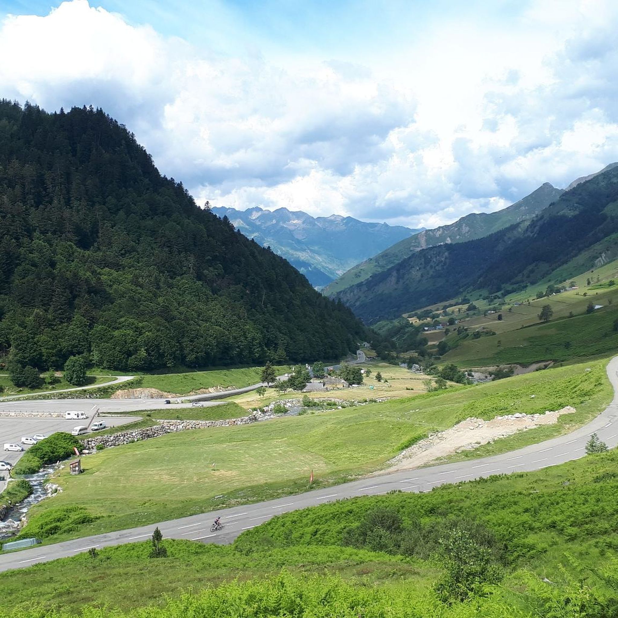

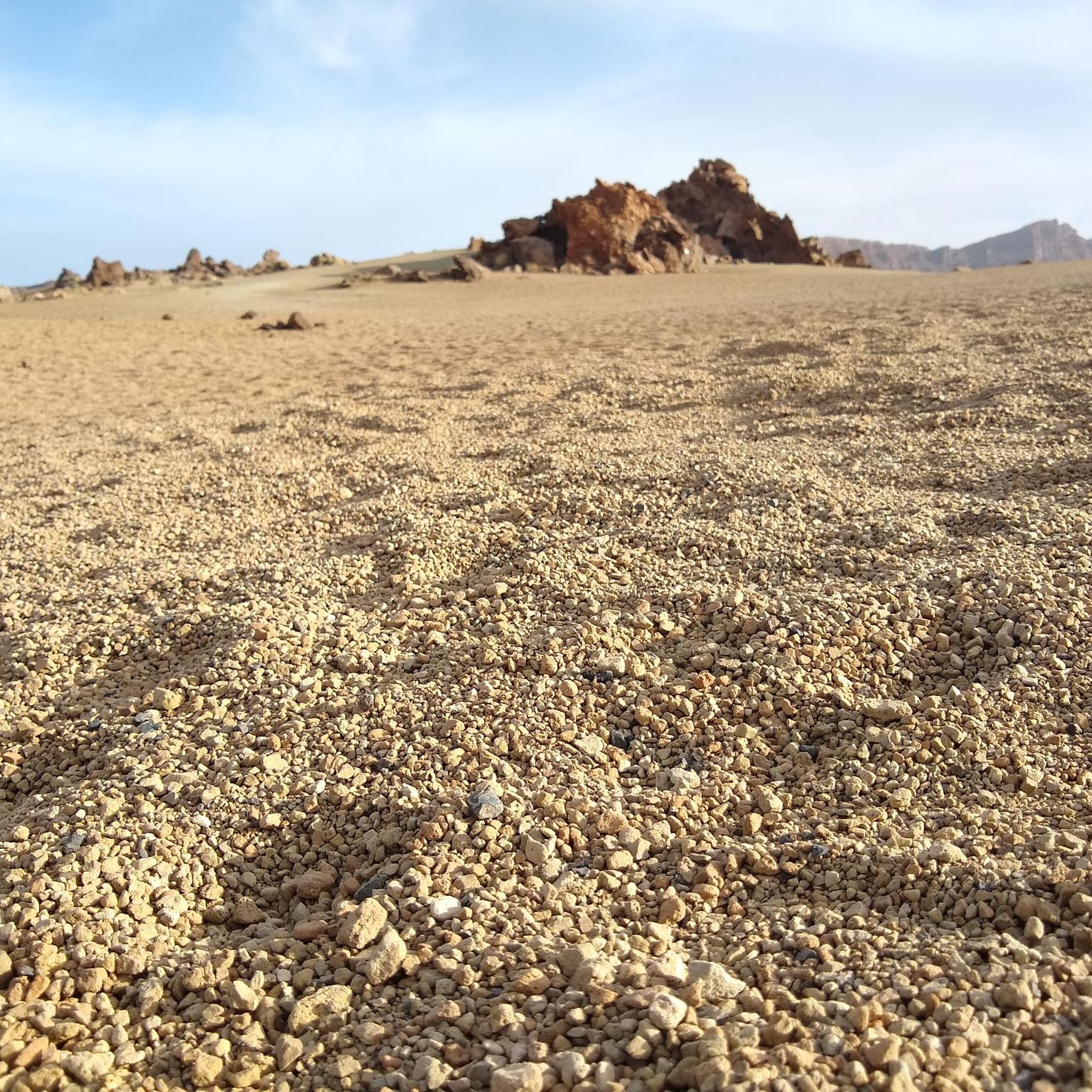
커뮤니티 팁

Large, welcoming refuge. An invigorating, cool shower during our stay. Very good meal and a great atmosphere in the evening. The caretaker was attentive. Maps, guidebooks, books, and board games are available in the common room.
1
0

Very poorly maintained road (stones, dung, etc.) but without any cars. A good alternative for a quiet climb, definitely to be avoided on the descent.
0
0

The road is reserved for bicycles and pedestrians, it's really pleasant, especially with everything else being full of cars... it's a nice break, plus the view is magnificent, we really appreciate it!
0
0

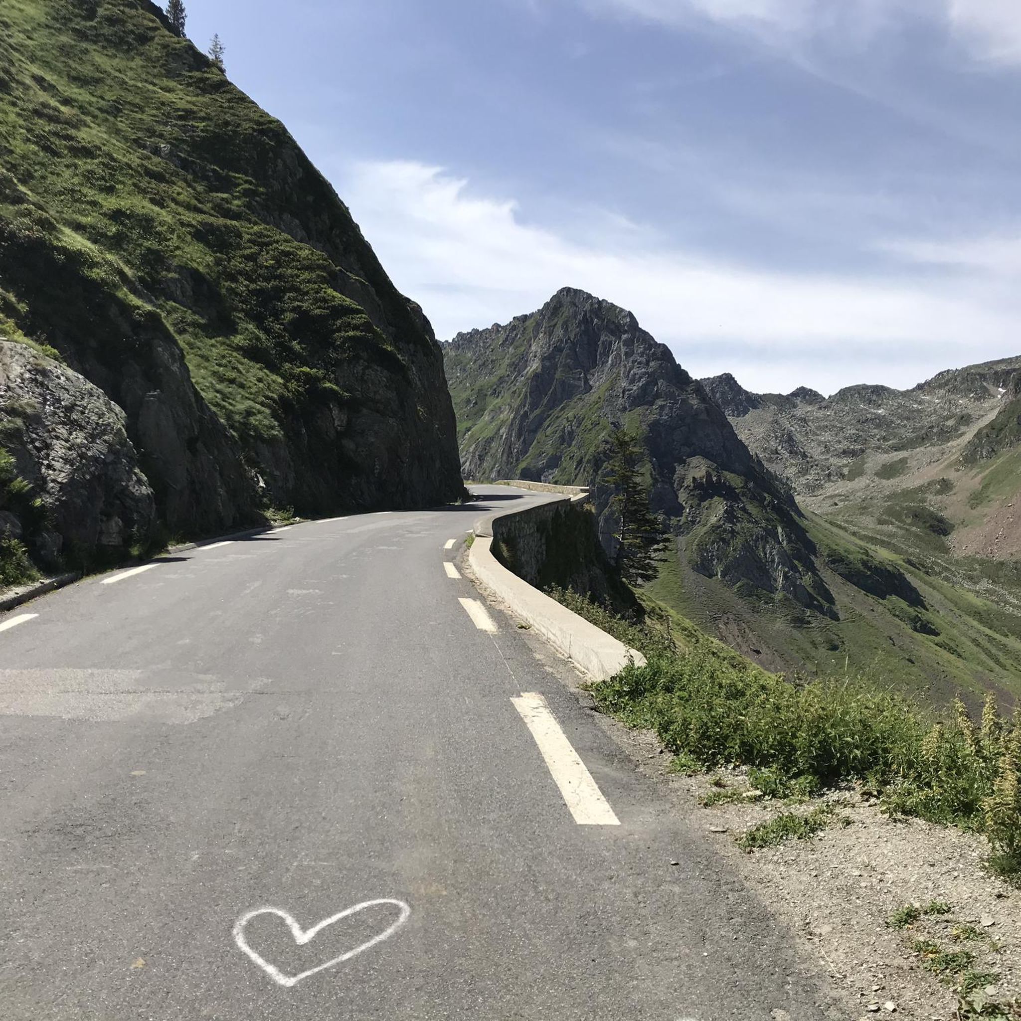
No cars, no motorcycles. This section of the Tourmalet is very pleasant. The surface is a little rough, but passable.
0
0

For the first 20 kilometers, the climb is gentle, crossing the picturesque landscapes of the Gavarnie cirque. Then once you reach the town of Gavarnie, the real climb begins, with much steeper gradients that can exceed 10%, reaching an altitude of 2,200 meters.
1
0

Uncleaned road, lots of stones and gravel + dirt. Possibly take it on the way up if you are fed up with cars on the main road, but otherwise stay on the main road. On the way down, there is no question: don't take this road!
1
0

The 19km to Gavarnie are easy and on foot, 705 meters in altitude. The next 10 kilometers are tough and grueling with about 830 meters of elevation gain. Moreover, you go above 2000m, which also makes it more difficult.
0
0

29.9 km of ascent with a gradient of 1,524 m and an average slope of 5%. It is one of the hardest climbs in the Pyrenees, especially due to its length and the hardness of its last 10 km, once you have passed the town of Gavarnie. The first 19 km, from the Luz exit to the town of Gavarnie, are very gentle, with flat and rest areas. You cross the village of Gèdre, from where the road leading to the Cirque de Troumouse starts. The road is in perfect condition and is wide. The only drawback is the traffic of motorcycles and motorhomes in summer. The last 10 km, the hardest, come after passing the town of Gavarnie. After a short break the average slope is 8.5%, with long areas maintained at 10%. It is a colossus in every rule. I recommend taking photos at its summit and, if possible, walking along the road in terrible condition until you reach Port de Boucharo, a mountain pass on the border between Spain and France.
0
0
새시스 주변에서 가장 인기 있는 명소


더 살펴보기
찾고 있는 하이라이트를 아직 못 찾으셨나요? 다른 지역의 주요 명소 가이드를 확인해보세요:
