그러스트에서 가장 멋진 11개의 산길
마지막 업데이트: 11월 9, 2026


이런 장소를 발견하려면 지금 가입하세요
최고의 싱글 트랙, 봉우리 및 다양한 흥미로운 야외 장소에 대한 추천을 받아보세요.
루즈-생-소베르에서 가바르니 서커스를 지나 콜 드 텐트 오르기
하이라이트 (구간) • 산악 고개
번역자 Google •
팁에 의해

루즈-생-소브르에서 슈퍼 바레쥬를 경유하는 콜 뒤 투르말레 등반
하이라이트 (구간) • 등반
번역자 Google •
팁에 의해


오늘 무료 계정으로 시작하세요
다음 모험이 기다리고 있어요.

커뮤니티 팁

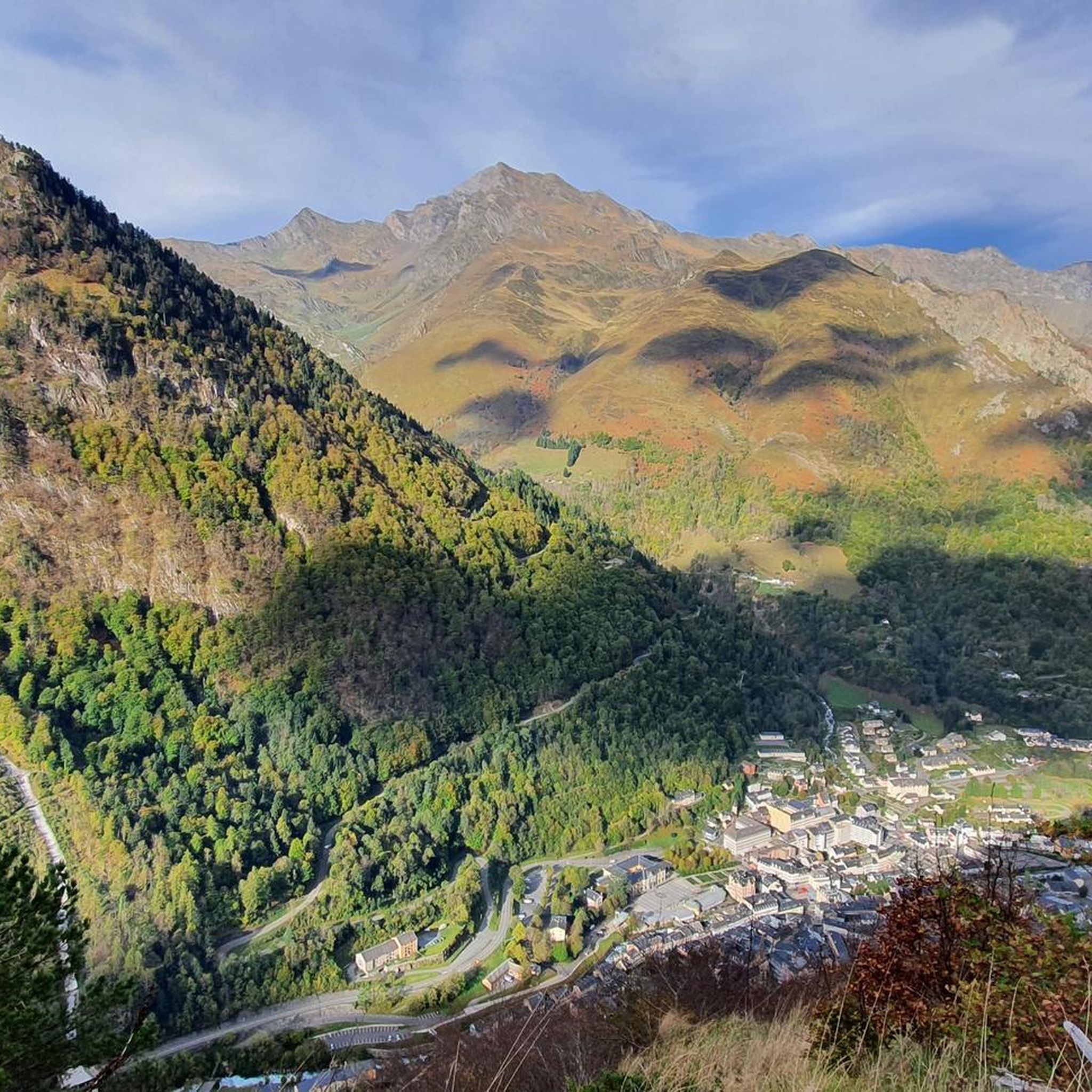
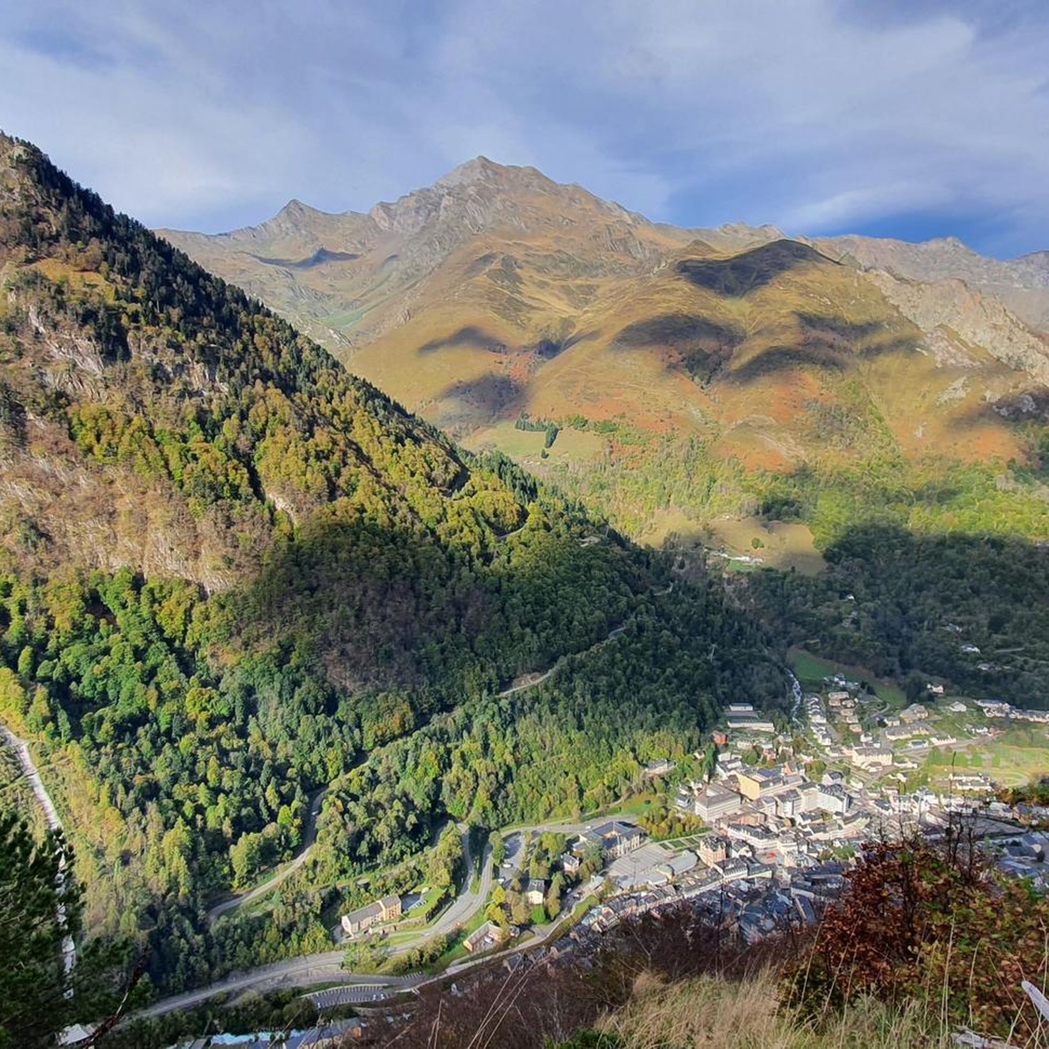
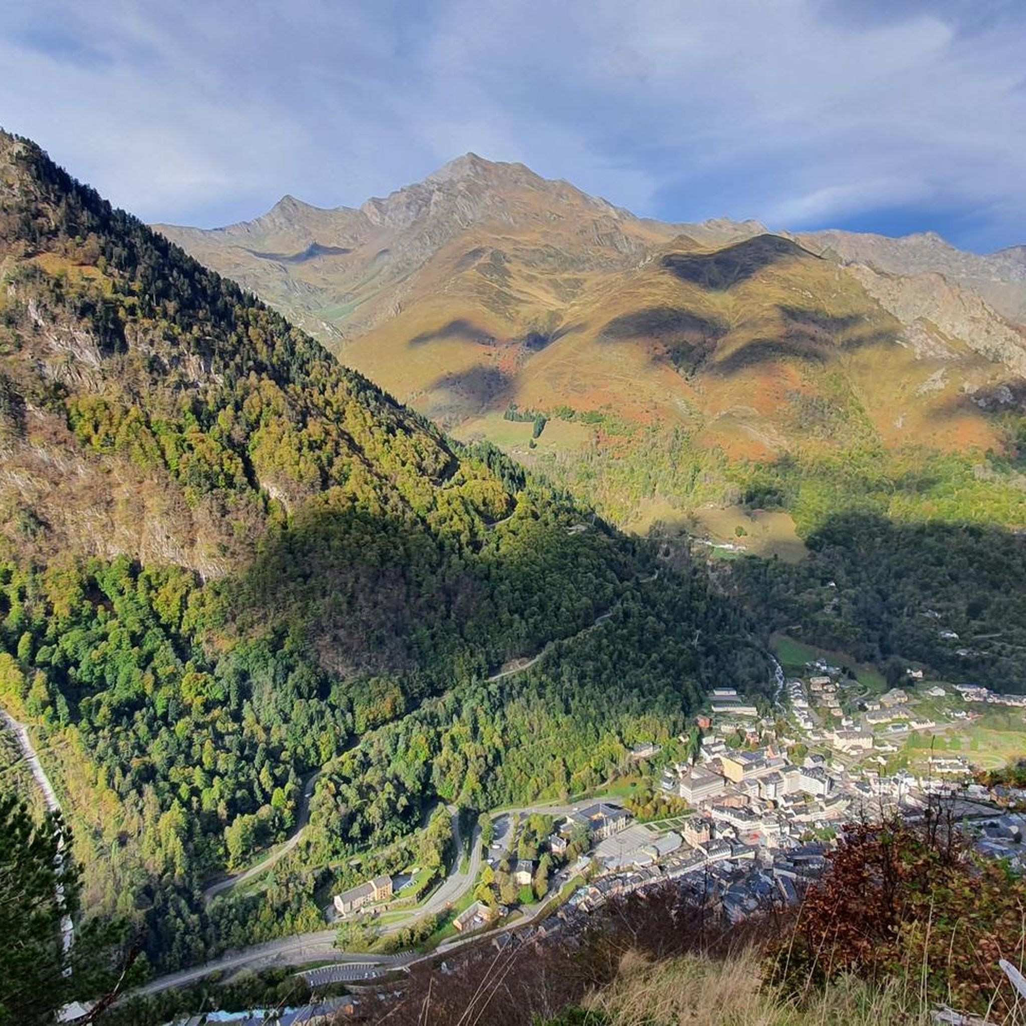
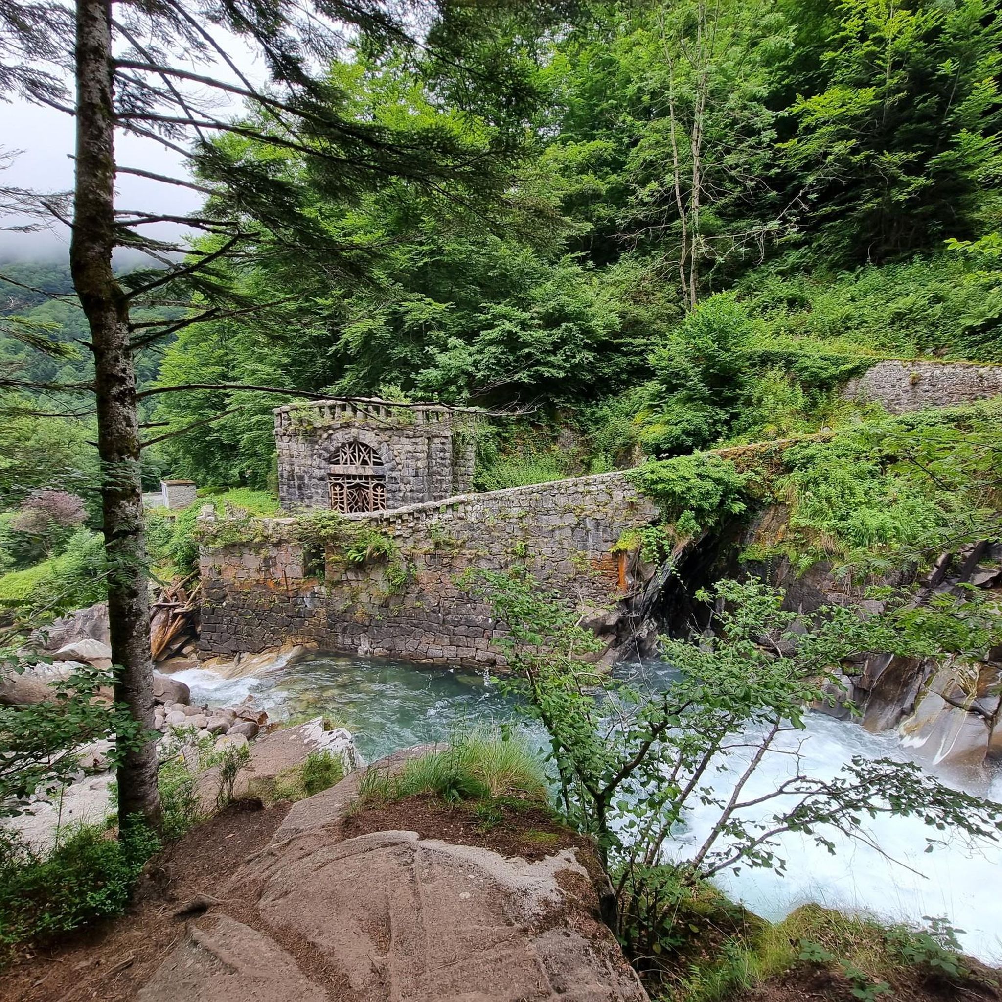
Lac du Barbat보다 덜 인상적이지만 Cauterets 계곡으로 들어가는 관문이며, 왼쪽에는 Lys 능선(Cauterets 스키장)이 있고 아래에는 이 장소에서 보이지 않는 Ilhéou 호수가 있습니다.
0
0

A beautiful, quiet pass. Easily accessible by mountain bike from Bederet. The trail from here to Cauterets is a dream. A must-do if you're in the area!
0
0

For the first 20 kilometers, the climb is gentle, crossing the picturesque landscapes of the Gavarnie cirque. Then once you reach the town of Gavarnie, the real climb begins, with much steeper gradients that can exceed 10%, reaching an altitude of 2,200 meters.
1
0

Very worth seeing, you have to see it
0
1

a r z e Z we E 2.z eee ze ESeew s3 zeBBC un 😚🥒🇸🇸 r Zheng MR of E and .zevgr enxdW Rex E. An Z
0
3

The 19km to Gavarnie are easy and on foot, 705 meters in altitude. The next 10 kilometers are tough and grueling with about 830 meters of elevation gain. Moreover, you go above 2000m, which also makes it more difficult.
0
0

29.9 km of ascent with a gradient of 1,524 m and an average slope of 5%. It is one of the hardest climbs in the Pyrenees, especially due to its length and the hardness of its last 10 km, once you have passed the town of Gavarnie. The first 19 km, from the Luz exit to the town of Gavarnie, are very gentle, with flat and rest areas. You cross the village of Gèdre, from where the road leading to the Cirque de Troumouse starts. The road is in perfect condition and is wide. The only drawback is the traffic of motorcycles and motorhomes in summer. The last 10 km, the hardest, come after passing the town of Gavarnie. After a short break the average slope is 8.5%, with long areas maintained at 10%. It is a colossus in every rule. I recommend taking photos at its summit and, if possible, walking along the road in terrible condition until you reach Port de Boucharo, a mountain pass on the border between Spain and France.
0
0
그러스트 주변에서 가장 인기 있는 명소


더 살펴보기
이 가이드를 통해 더 많은 장대한 산악 통과를 확인해보세요 그러스트 주변:
