알프 드 오트 프로방스 최고의 워킹 & 하이킹 경로
4.5
(33544)
215,564
등산객
2,324
하이킹
알프 드 오트 프로방스에서 하이킹하며 알프스 마리팀 구석 부분까지 살펴볼까요? 알프 드 오트 프로방스에 있는 모든 하이킹 및 워킹 경로 컬렉션 중 가장 멋진 하이킹 경로를 엄선하여 소개해드릴게요. 다른 하이커가 공유한 실제 팁과 사진을 살펴보고 후기를 읽으며 마음에 드는 알프 드 오트 프로방스 워킹 경로를 찾아보세요.
마지막 업데이트: 9월 13, 2026
4.8
(274)
1,127
등산객
7.84km
02:41
410m
410m
보통 하이킹. 좋은 체력 필요. 대부분 갈 수 있는 길. 미끄러지지 않게 조심해야 함.
4.7
(157)
1,242
등산객
10.6km
04:32
700m
700m
어려운 하이킹. 좋은 체력 필요. 튼튼한 신발을 신고 미끄러지지 않게 조심해야 하며, 높은 산을 오른 경험이 있어야 함.

4.6
(185)
960
등산객
6.75km
01:56
160m
150m
어려운 하이킹. 모든 체력 수준에 적합. 튼튼한 신발을 신고 미끄러지지 않게 조심해야 하며, 높은 산을 오른 경험이 있어야 함.
4.7
(155)
567
등산객
9.24km
02:31
130m
130m
보통 하이킹. 좋은 체력 필요. 대부분 갈 수 있는 길. 미끄러지지 않게 조심해야 함.
4.6
(130)
461
등산객
4.58km
01:18
100m
100m
초급용 하이킹. 모든 체력 수준에 적합. 실력과 관계없이 누구나 쉽게 갈 수 있는 길.
4.9
(31)
516
등산객
15.8km
05:47
900m
900m
어려운 하이킹. 우수한 체력 필요. 튼튼한 신발을 신고 미끄러지지 않게 조심해야 하며, 높은 산을 오른 경험이 있어야 함.
4.9
(74)
608
등산객
9.05km
03:29
420m
430m
어려운 하이킹. 좋은 체력 필요. 튼튼한 신발을 신고 미끄러지지 않게 조심해야 하며, 높은 산을 오른 경험이 있어야 함.
4.7
(106)
678
등산객
4.34km
01:32
160m
160m
보통 하이킹. 모든 체력 수준에 적합. 대부분 갈 수 있는 길. 미끄러지지 않게 조심해야 함.
4.8
(600)
4,246
등산객
19.8km
06:09
510m
510m
어려운 하이킹. 우수한 체력 필요. 튼튼한 신발을 신고 미끄러지지 않게 조심해야 하며, 높은 산을 오른 경험이 있어야 함.
5.0
(35)
419
등산객
18.2km
07:50
1,100m
1,090m
어려운 하이킹. 우수한 체력 필요. 튼튼한 신발을 신고 미끄러지지 않게 조심해야 하며, 높은 산을 오른 경험이 있어야 함.
더 다양한 경로와 다른 탐험가들의 추천을 살펴보세요.
이미 komoot 계정이 있나요?
투어 추천은 다른 사람들이 komoot에서 완료한 수천 개의 활동을 바탕으로 구성되어 있습니다.
오늘 무료 계정으로 시작하세요
다음 모험이 기다리고 있어요.
알프 드 오트 프로방스 주변 인기 장소
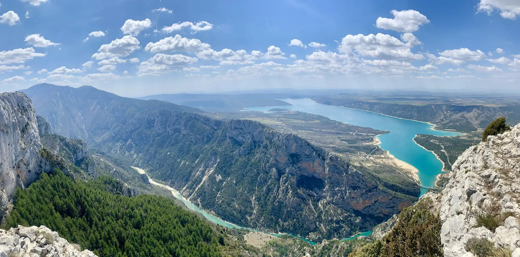
프랑스 남부를 교차하다 – 대西洋 해안가에서 프로방스까지 (GR 4)
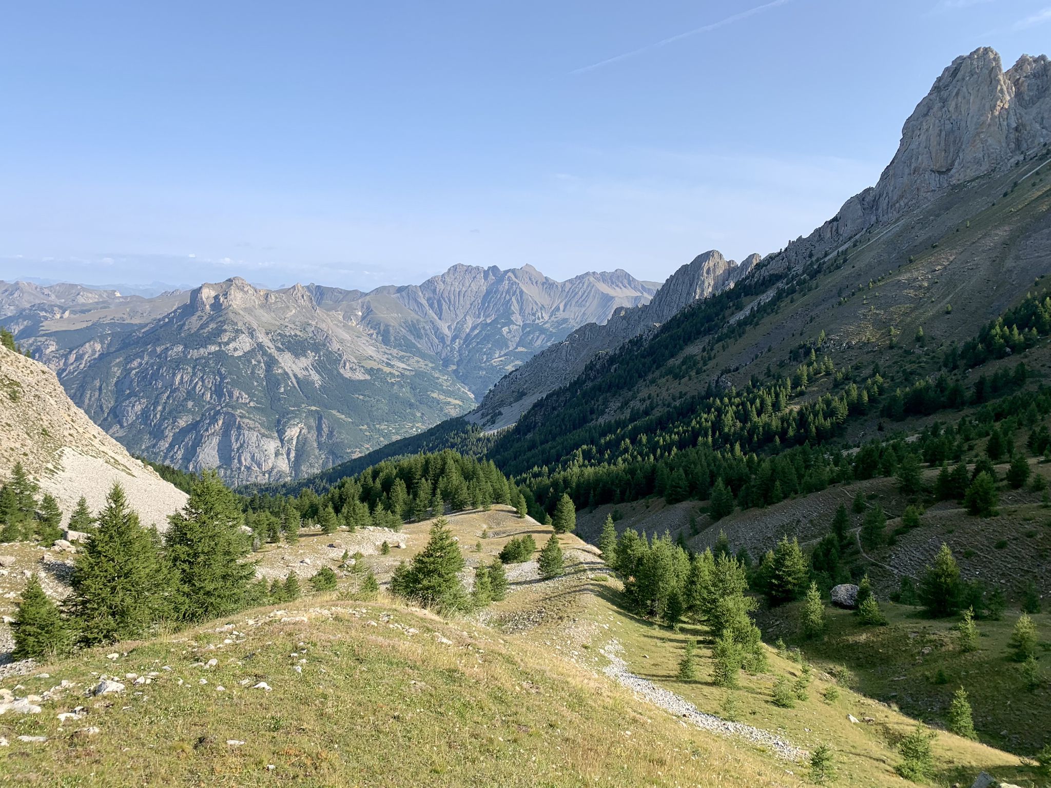
알프스에서 대서양까지 — GR 6
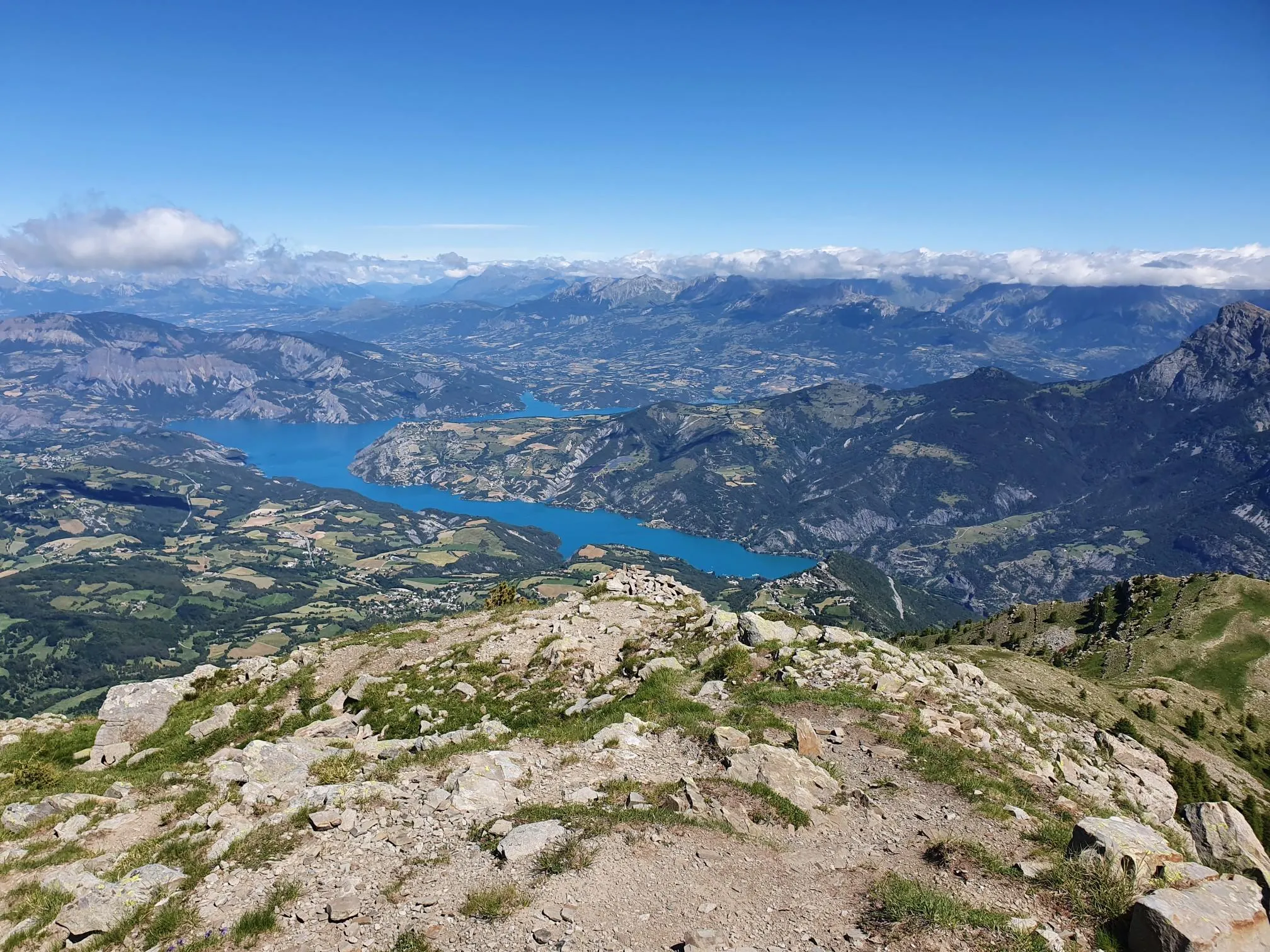
10 geological hikes in the Alpes-de-Haute-Provence – Cradle of the Geoparks
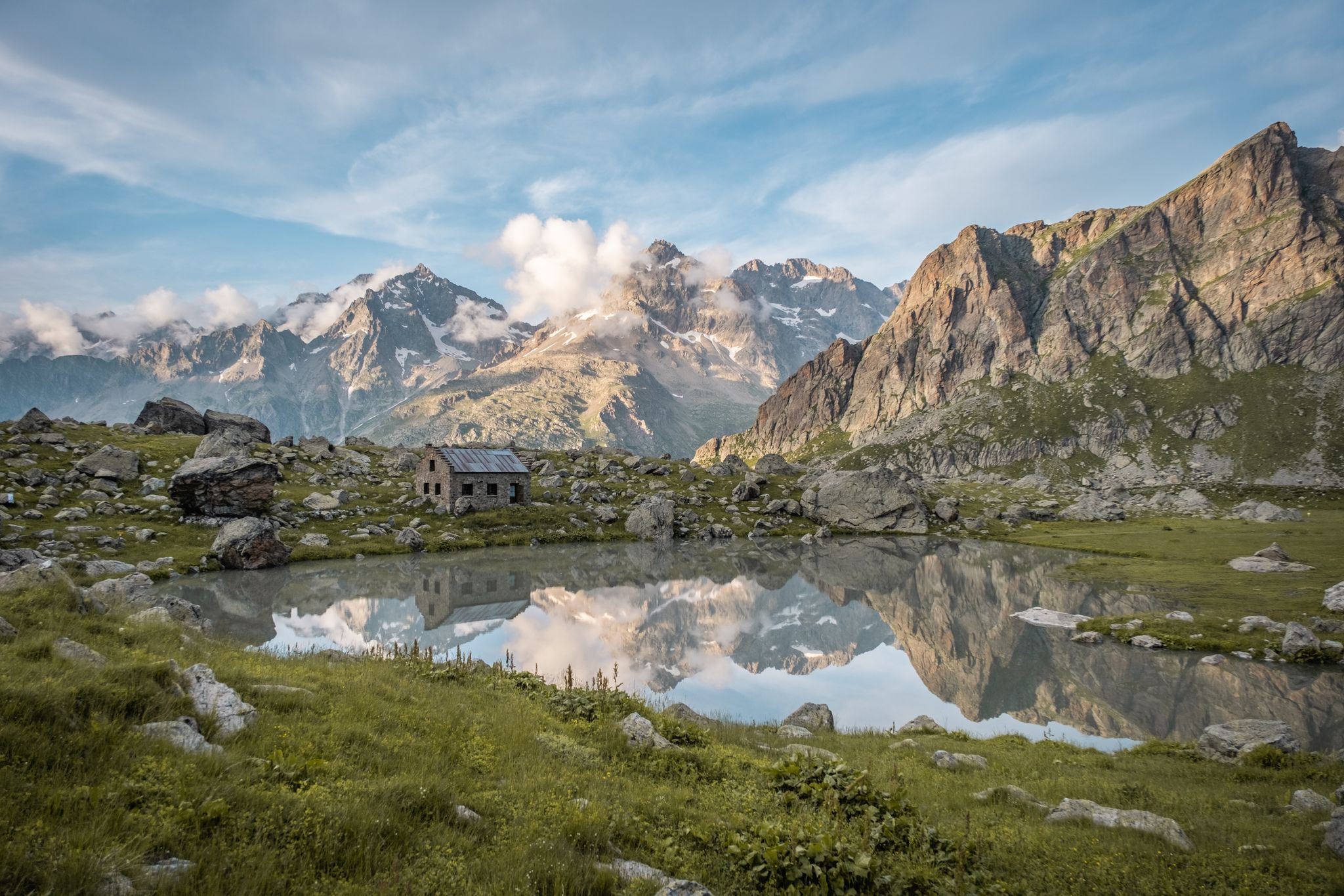
Seven hikes in France’s Southern Alps – refuges and high peaks

생텐디네 드 티네에서 브리앙손까지 하이킹 - 유럽 트레일 (GR 5)
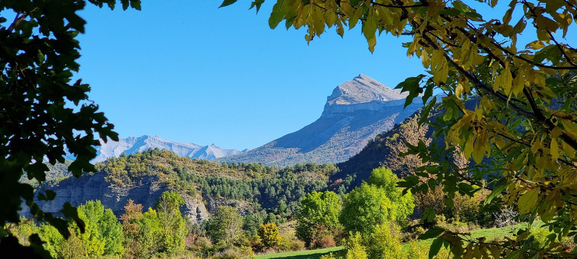
이도랑드 화리 406
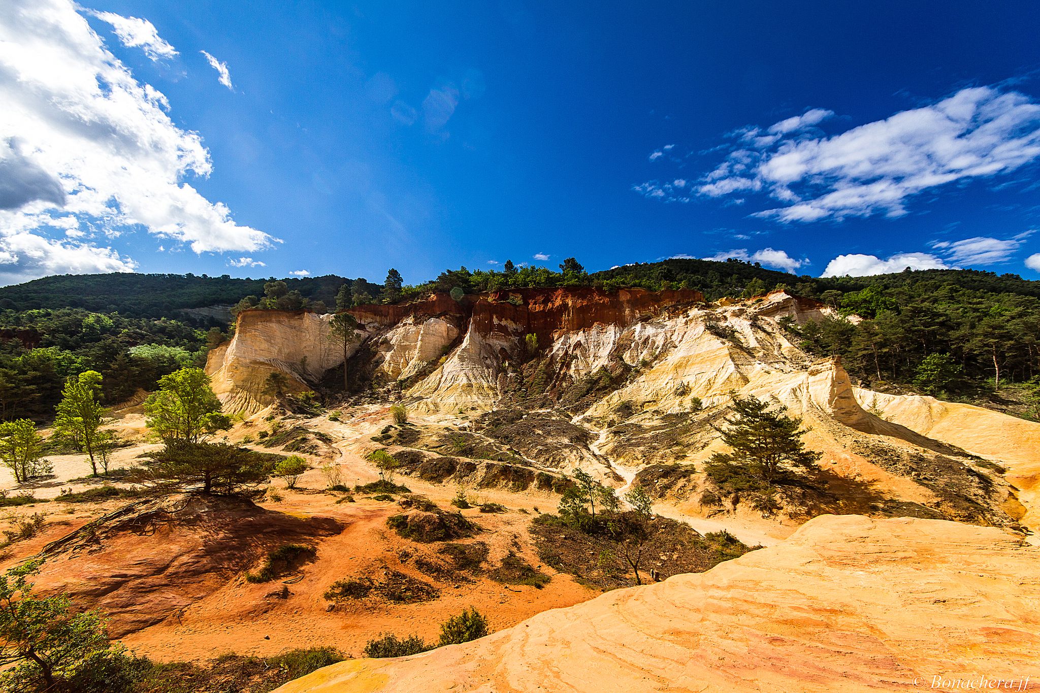
프로방스 산맥을 통해 - Tour du Luberon (GR 97)

산과 마르모트 — 프랑스의 우바예 트레일 (GR 56)

포리에 제도이터 — 3000m 시 에바드 15자

MigrAction - 이반일 수 스타일
알프 드 오트 프로방스의 다른 모험


커뮤니티 팁

몽펠라(Mont Pelat, 3051m)는 프랑스 메르캉투르 산맥에서 가장 눈에 띄는 봉우리 중 하나입니다. 정상에서는 알프스 마리티메(Alpes maritimes)부터 지중해까지 인상적인 파노라마 전망을 감상할 수 있습니다. 인기 있는 등반 경로는 알로 호수(Lac d'Allos)에서 시작됩니다. 이 전망 좋은 산악 하이킹을 위해서는 발걸음의 안정성과 좋은 체력이 필요합니다.
0
0

There had been a lot of rain in the last few days. The west side of the walk is very hard in places and the path at the bottom of the metal stairs had washed away and the hand holds could not be reached. It was very dangerous as were several sections where the path is on an angle. This was for a distance of about 500 metres either side of the metal ladder. In places the path is only 30-50 cm wide with a vertical drop of 50-75 metres and certain death if you slip. Not suitable for children or people who are not experienced mountain walkers. A strong walking pole was very useful.
0
0

In September with a strong water flow, it's magnificent. Not to be missed under any circumstances.
2
0

Beautiful hike! We just weren't aware that just below the highest point of this hike, on the southeast side, you had to climb and scramble over boulders for a long stretch. So, no path. Luckily, there were ropes in two places to hold on, but these 60-plus hikers had a tough time. Pay close attention to the yellow markers on this section!
1
0

You shouldn't have a problem with it being dark, cold and narrow; the tunnel is long and really tough, as there's a lot of water in it.
0
0
This is where the gorge is truly at its most beautiful.
0
0


