ノイエンブロークのおすすめランニングルート
4.3
(321)
4,853
ランナー
384
ランニング
ノイエンブロークでランニングを楽しめば、このエリアをより深く知ることができます。ランニングに適した美しいルートが見つかるように、komootがノイエンブロークでのルートのコレクション全体を評価して選び抜いた、人気ランニングトレイルをご紹介します。ルートをクリックして詳細を表示し、他のユーザーがアップロードした役立つ情報や写真を閲覧しましょう。
最終更新日: 9月 11, 2026
5.0
(11)
78
ランナー
15.8km
01:45
50m
50m
難しいジョギング. 標準以上のフィットネスレベルが必要です。 全般的に舗装された状態です。あらゆるスキルレベルに適しています。
5.0
(1)
23
ランナー
11.5km
01:11
10m
10m
中程度のジョギング. ある程度のフィットネスレベルが必要です。 全般的に舗装された状態です。あらゆるスキルレベルに適しています。

16
ランナー
中程度のジョギング. ある程度のフィットネスレベルが必要です。 全般的に舗装された状態です。あらゆるスキルレベルに適しています。
17
ランナー
7.29km
00:46
30m
30m
中程度のジョギング. ある程度のフィットネスレベルが必要です。 全般的に舗装された状態です。あらゆるスキルレベルに適しています。
5.0
(1)
10
ランナー
4.57km
00:29
20m
20m
初級者向けランニング. あらゆるフィットネスレベルに適しています。 全般的に舗装された状態です。あらゆるスキルレベルに適しています。
さらに多くのルートや他のユーザーのおすすめ情報を確認できます。
すでにアカウントをお持ちですか?
おすすめのツアーは他のkomootユーザーが実際に経験した何千ものアクティビティに基づいています。
無料アカウントで今日から始めよう
次の冒険が待っています。

コミュニティからのヒント

Nice words aren't always true, and true words aren't always nice! A very wise saying, we've all probably experienced it before! 😇
0
0

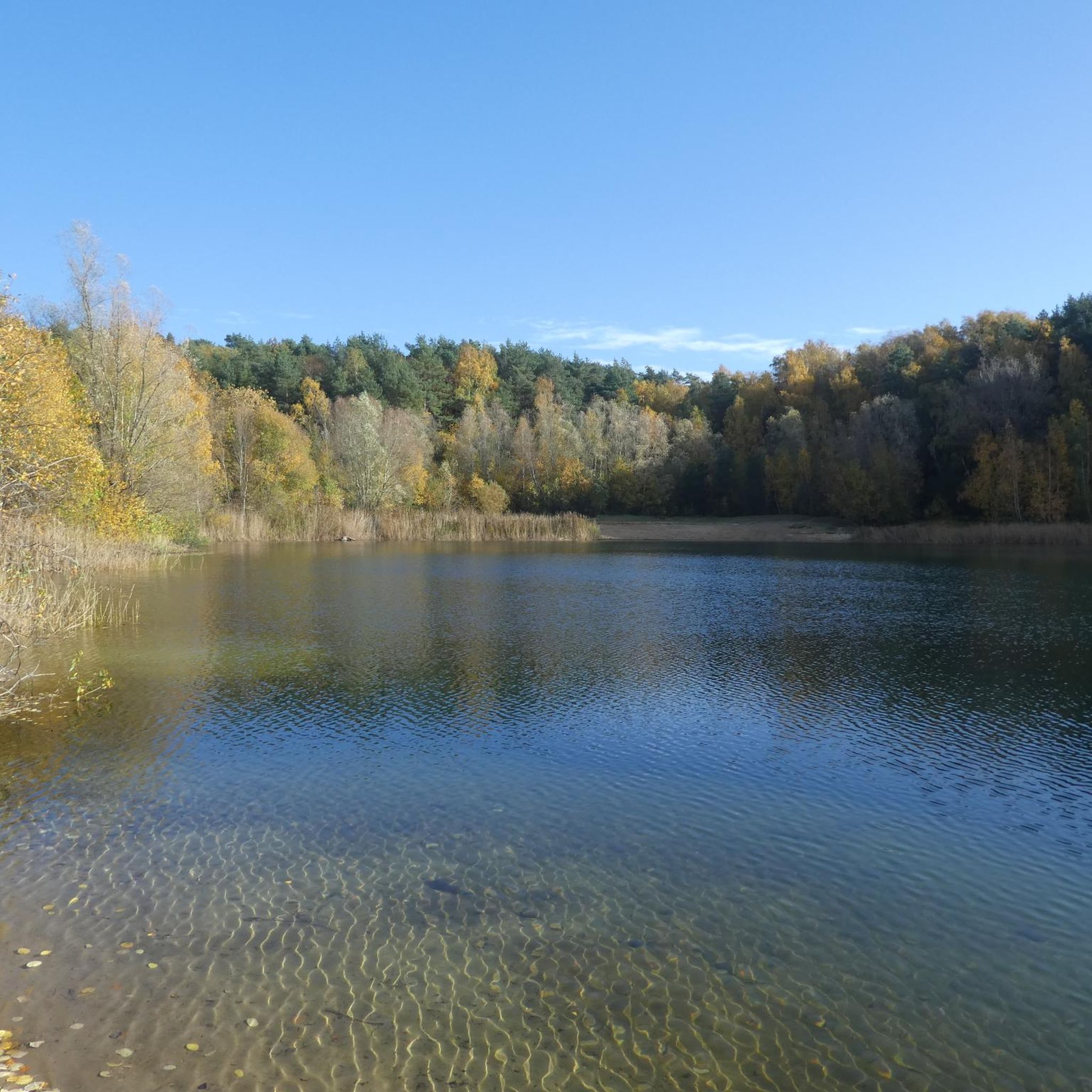
The Nordoe Inland Dunes are now a 407-hectare nature reserve and part of the National Natural Heritage. The area is characterized by a mix of diverse habitats: open sandy areas, heathlands, and wetlands. There are both pine-covered inland dunes and scrub-like oak woodlands. The Nordoe Inland Dunes are an important refuge for rare and endangered animal and plant species. The ecosystem depends on the nutrient-poor conditions and open landscape. To maintain these conditions, the area is now managed through extensive grazing with Galloways, Highland cattle, and Exmoor ponies.
0
0

The Nordoe Inland Dunes (or often simply called "Nordoer Heide") are a nature reserve and popular recreation area for Itzehoe and the surrounding area. This area was once a military training area for the nearby former Nordoe barracks, on whose grounds a residential area has now been developed.
2
0

There is a great restaurant nearby where you can eat a very good farmer's breakfast.
0
0
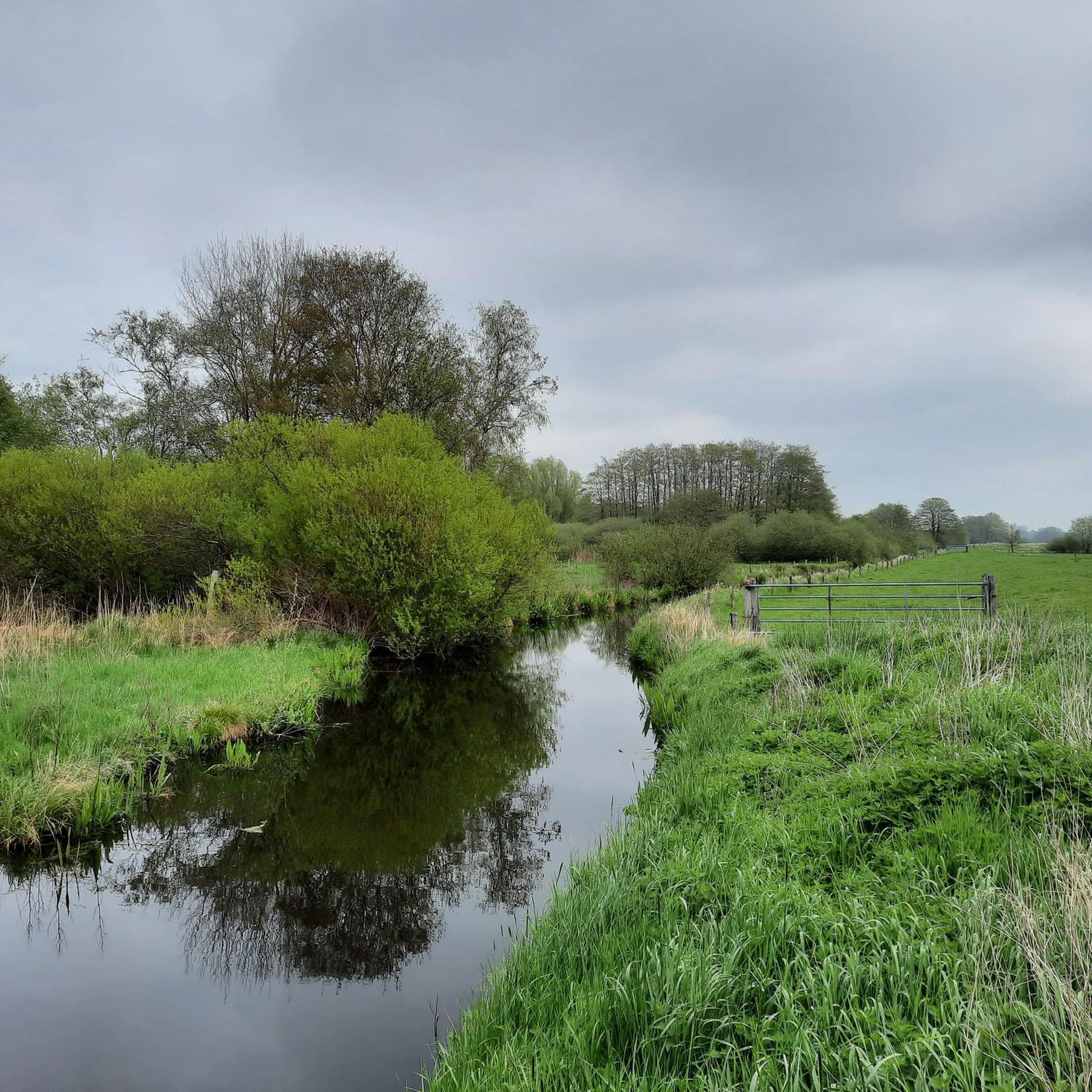
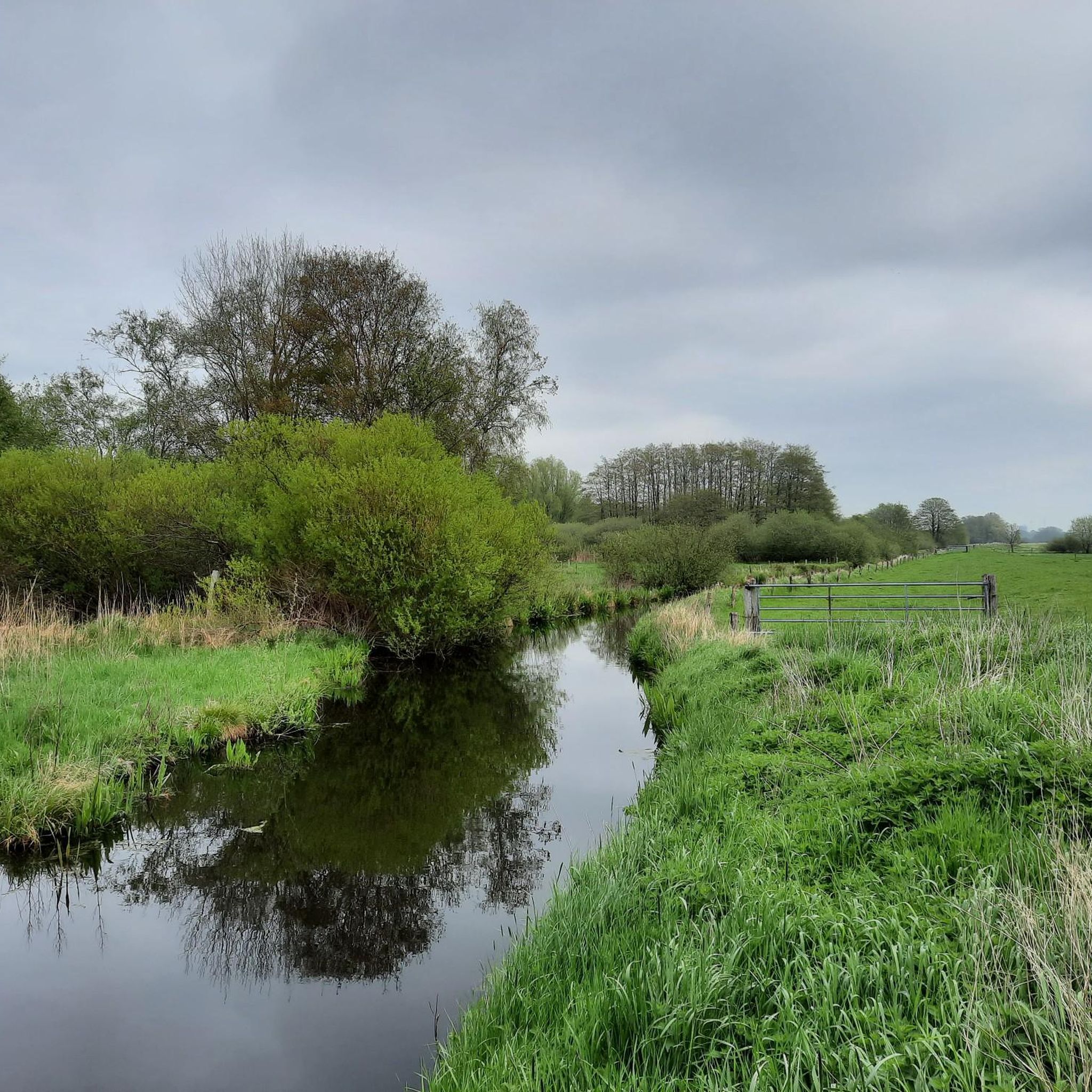
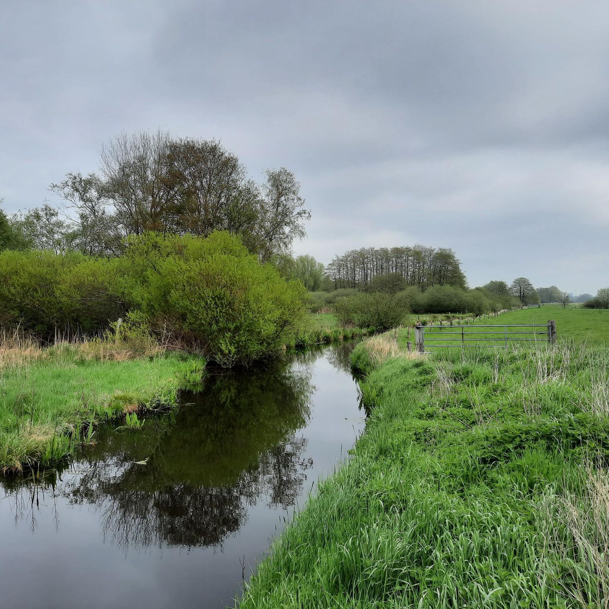
The area of the municipality of Borsfleth extends along the southern bank of the Stör at its mouth in the Elbe.[2] In the area of the fields north of the village that gives the municipality its name, the Kremper Au flows into the Stör.[3] In terms of natural geography, the municipality is assigned to the main unit Holstein Elbmarschen (No. 671). It lies in its sub-area Krempermarsch about five kilometers north of Glückstadt. The Große Wettern also flows in the municipality.[3]
1
0


I can recommend the Binendüne as a running route. The landscape is very beautiful here and there are also horses.
3
0

The view is beautiful, you just have to linger here
0
0
ノイエンブロークでのの人気観光スポット

komootモバイルアプリでインスピレーションを得よう


さらに探索
他の地域の最高のランニングトレイル & ルートを見てみましょう。
