オレイラのおすすめライド
4.6
(100)
4,815
ライダー
34
ライド
オレイラ周辺のロードバイクルートをお探しですか?ここでは、komootが提供するオレイラでのロードバイクライドのコレクション全体を評価して選び抜いた人気ルートをご紹介します。各ライドの詳細をぜひご覧ください。
最終更新日: 10月 5, 2026
4.5
(4)
193
ライダー
32.9km
02:06
960m
960m
難しいロードライド. 標準以上のフィットネスレベルが必要です。 全般的に舗装状態が良好で走行しやすい道です。
5.0
(1)
140
ライダー
51.2km
03:11
1,390m
1,390m
難しいロードライド. 標準以上のフィットネスレベルが必要です。 全般的に舗装状態が良好で走行しやすい道です。

4.8
(9)
921
ライダー
70.2km
04:20
1,850m
1,850m
難しいロードライド. 標準以上のフィットネスレベルが必要です。 ツアーの一部に、未舗装のため走行が難しい箇所があるかもしれません。
5.0
(2)
85
ライダー
67.3km
03:35
1,220m
1,220m
難しいロードライド. 標準以上のフィットネスレベルが必要です。 ツアーの一部に、未舗装のため走行が難しい箇所があるかもしれません。
4.7
(3)
65
ライダー
54.1km
03:22
1,500m
1,500m
難しいロードライド. 標準以上のフィットネスレベルが必要です。 ツアーの一部に、未舗装のため走行が難しい箇所があるかもしれません。
さらに多くのルートや他のユーザーのおすすめ情報を確認できます。
すでにアカウントをお持ちですか?
おすすめのツアーは他のkomootユーザーが実際に経験した何千ものアクティビティに基づいています。
無料アカウントで今日から始めよう
次の冒険が待っています。
コミュニティからのヒント

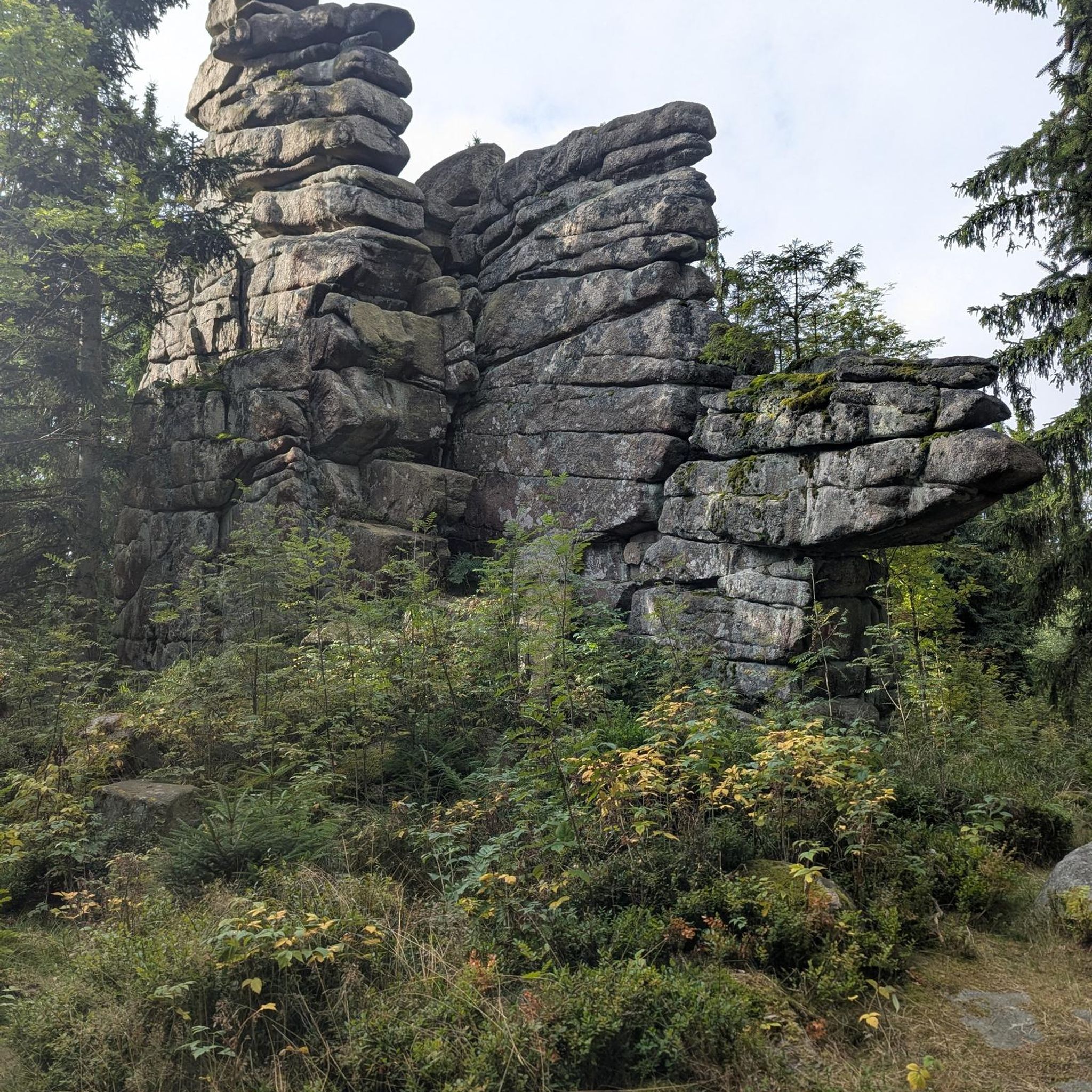
Counozoulsのグランドメニルは重さ50トン、高さ8.9mです。南フランスで最大のメニルです。
1
0

Quite a bit of traffic, but a pretty port, especially the final section.
0
0

It's an ideal spot for a picnic. It's also an ideal place for groups of cyclists supported by vans, as there's plenty of space here to relax and not disturb anyone. The lake is at an elevated point, so accessing it from La Llagonne or Les Angles requires a steep climb, always at a lower gradient.
0
0


Small pass at the exit of Ayguatebia which leads back to the Col de Creu. Not cleared of snow from November to March.
0
0
Fountain in the charming little village of Ayguatebia to refill your water before the final of the Col de la Llose or the Col de Jouël.
0
0

This ancient trading town, the capital of Conflent, has preserved some beautiful traces of its history and its status as a defensive town. Examples include the ramparts and the Viguerie Tower, built by the Count of Cerdagne in the 11th century and subsequently reinforced by Vauban's fortifications in the 17th century.
0
0

komootモバイルアプリでインスピレーションを得よう


さらに探索
他の地域の最高のロードサイクリングルートを見てみましょう。
