パイのおすすめツーリングルート
4.3
(49)
1,698
ライダー
50
ライド
パイ周辺でのおすすめのサイクリングルートを参考にして、このエリアを最大限に楽しみましょう。ここでご紹介するのは、パイ周辺の人気バイクライドです。ぜひ、自分に合ったルートを見つけてください。
最終更新日: 9月 8, 2026
5.0
(1)
53
ライダー
20.6km
01:48
750m
750m
難しい自転車ライド. 標準以上のフィットネスレベルが必要です。 全般的に舗装された状態です。あらゆるスキルレベルに適しています。
26
ライダー
35.8km
04:04
1,590m
1,590m
難しい自転車ライド. 標準以上のフィットネスレベルが必要です。 全般的に舗装された状態です。あらゆるスキルレベルに適しています。

5.0
(1)
33
ライダー
35.8km
02:39
810m
810m
難しい自転車ライド. 標準以上のフィットネスレベルが必要です。 全般的に舗装された状態です。あらゆるスキルレベルに適しています。
17
ライダー
13.7km
01:11
480m
480m
難しい自転車ライド. 標準以上のフィットネスレベルが必要です。 全般的に舗装された状態です。あらゆるスキルレベルに適しています。
1.3
(3)
14
ライダー
17.5km
01:35
480m
480m
難しい自転車ライド. 標準以上のフィットネスレベルが必要です。 全般的に舗装された状態です。あらゆるスキルレベルに適しています。
さらに多くのルートや他のユーザーのおすすめ情報を確認できます。
すでにアカウントをお持ちですか?
おすすめのツアーは他のkomootユーザーが実際に経験した何千ものアクティビティに基づいています。
無料アカウントで今日から始めよう
次の冒険が待っています。

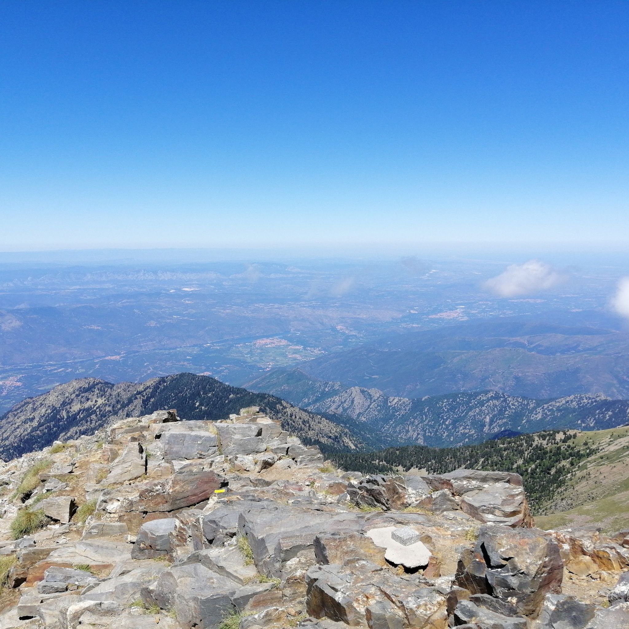
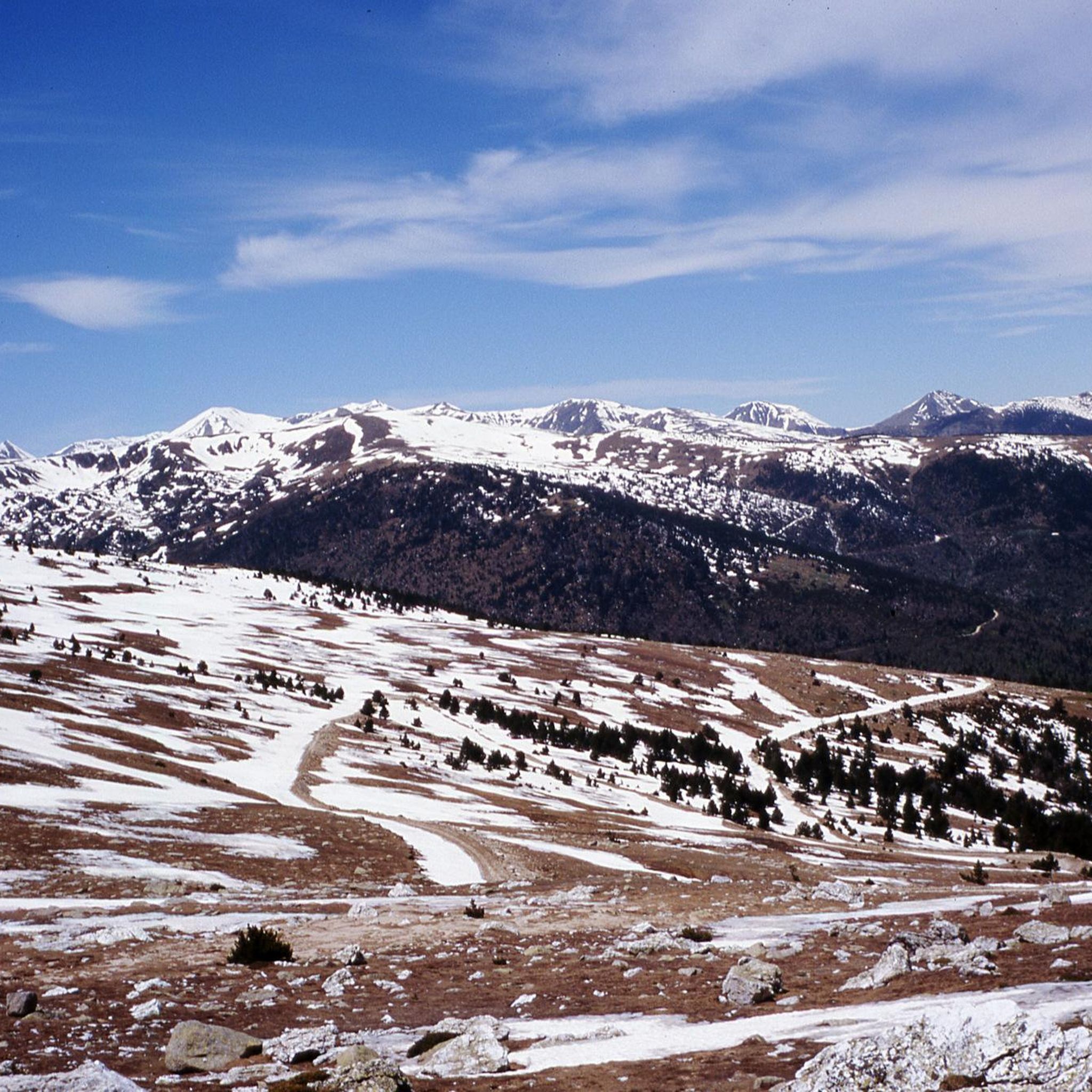
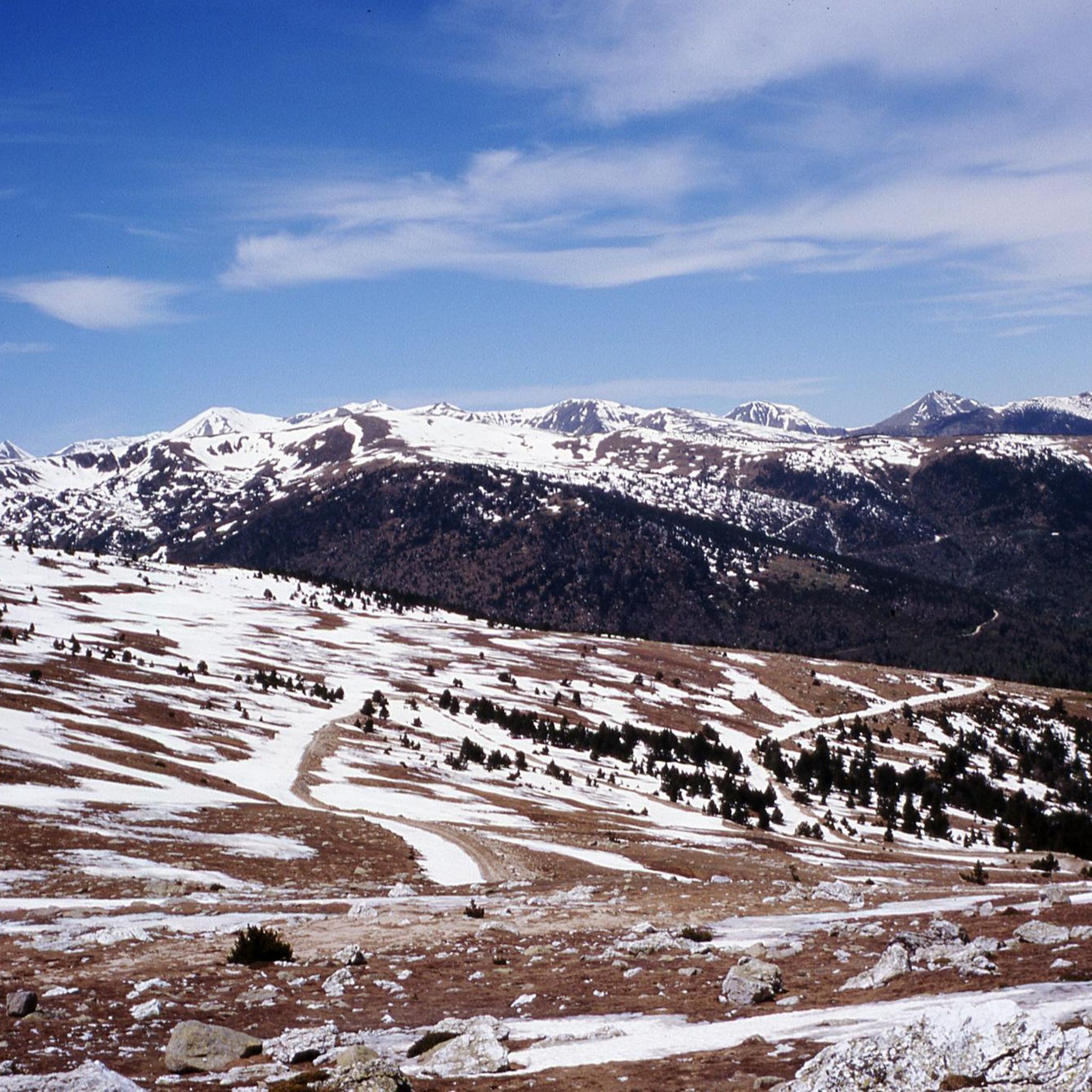
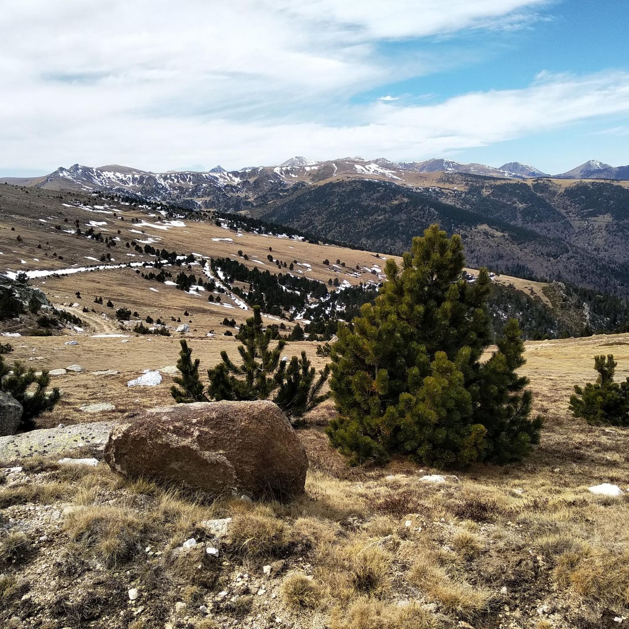



コミュニティからのヒント

Instantly enchanted by the beautiful views over the valleys and the surrounding mountains that are offered here.
15
0
with a view of the Cangou and access to camping le Rotja
24
0
The Col de Jou from Villefranche de Conflent is a climb in the French Pyrenees. This climb is 11.4 kilometers long and has a positive elevation gain of 687 meters. The Col de Jou from Villefranche de Conflent has an average gradient of 6%.
15
0

the track where you hurt everywhere, look at the marmots
0
0

The Col de Jou peaks at an altitude of 1,125 meters. It is a well-known rallying point for local hikers. Indeed, the GR 10 passes through there, and it is the starting point for many hikes including the one that connects Canigou peak.
1
0


komootモバイルアプリでインスピレーションを得よう


さらに探索
他の地域の最高のサイクリングルートを見てみましょう。
