グローセンラーデのおすすめランニングルート
4.5
(52)
763
ランナー
154
ランニング
グローセンラーデでランニングを楽しめば、このエリアをより深く知ることができます。ランニングに適した美しいルートが見つかるように、komootがグローセンラーデでのルートのコレクション全体を評価して選び抜いた、人気ランニングトレイルをご紹介します。ルートをクリックして詳細を表示し、他のユーザーがアップロードした役立つ情報や写真を閲覧しましょう。
最終更新日: 10月 5, 2026
11
ランナー
11.6km
01:11
10m
10m
中程度のジョギング. ある程度のフィットネスレベルが必要です。 全般的に舗装された状態です。あらゆるスキルレベルに適しています。
7
ランナー
難しいジョギング. 標準以上のフィットネスレベルが必要です。 全般的に舗装された状態です。あらゆるスキルレベルに適しています。

4.0
(1)
6
ランナー
9.69km
01:02
30m
30m
中程度のジョギング. ある程度のフィットネスレベルが必要です。 全般的に舗装された状態です。あらゆるスキルレベルに適しています。
5
ランナー
11.0km
01:08
50m
50m
中程度のジョギング. ある程度のフィットネスレベルが必要です。 全般的に舗装された状態です。あらゆるスキルレベルに適しています。
5
ランナー
13.1km
01:22
40m
40m
中程度のジョギング. ある程度のフィットネスレベルが必要です。 全般的に舗装された状態です。あらゆるスキルレベルに適しています。
さらに多くのルートや他のユーザーのおすすめ情報を確認できます。
すでにアカウントをお持ちですか?
おすすめのツアーは他のkomootユーザーが実際に経験した何千ものアクティビティに基づいています。
無料アカウントで今日から始めよう
次の冒険が待っています。
コミュニティからのヒント

印象的な鉄道橋 - 一見の価値あり 💯🔝👍🏻🚴♀️
1
0
修理に役立つサポート 💯🔝👍🏻😊🚴♀️
3
0

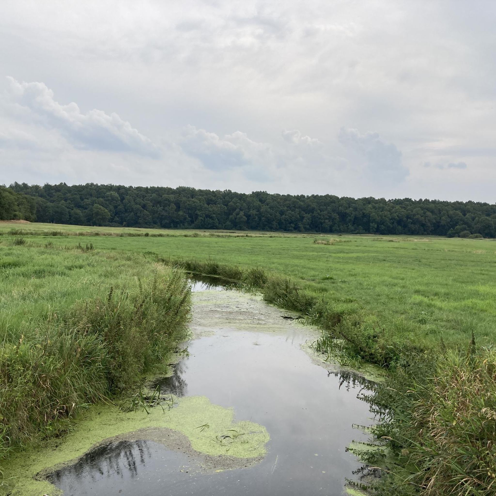
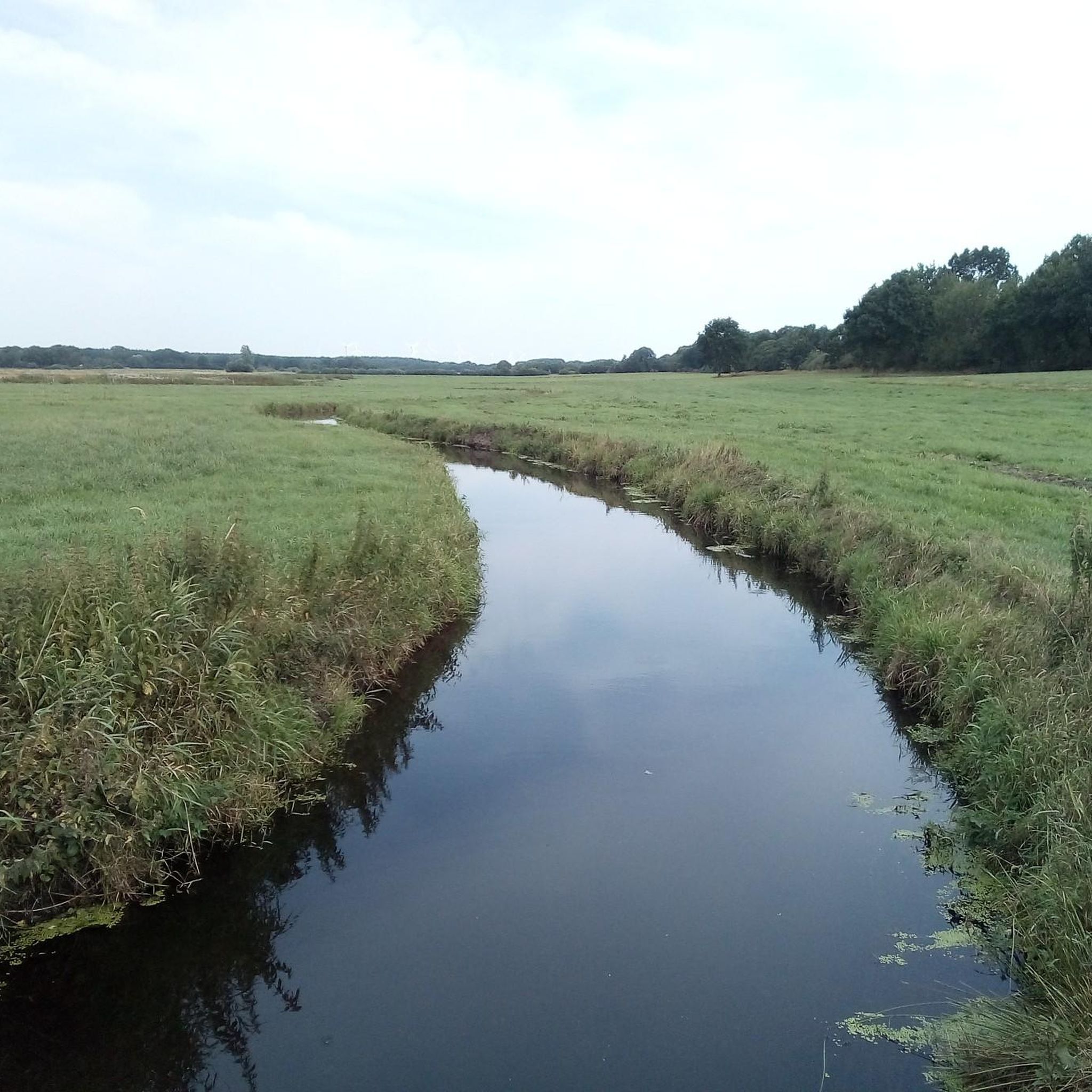
パラディestalは、より高いガイスト(森林に覆われた砂丘地帯)と、より低いクレフフスとの標高差により、Wilstermarschとの境界に形成されました。これにより、今日では自然に近い水源が流れ、森林や草原に囲まれた、平坦で緩やかに傾斜した谷が形成されています。この地域は、「ブルク自然体験地域」の静かなハイキングと自然体験の場所と見なされています。パラディestalは、ビオトープ、果樹園、森に沿った周回ハイキングコースNo.6などが通っており、いわゆる上クレフハングを通過します。
0
0
ブルクの旧港は長い歴史を誇っています。かつてはディットマーシェンにおける海運の重要な積み替え地点であり、何十年にもわたりこの地の生活を形作ってきました。今日、静かな湖は船乗りや渡し守の時代を偲ばせ、この地の過去を今も色濃く感じさせてくれます。
1
0
The Old Country Pharmacy on the market square in Burg Dithmarschen is a historical gem with a unique history that lives on today in a museum. The royally privileged pharmacy was originally founded in 1839 in a roughly 200-year-old building on the market square in Burg. The building is often described as picturesque, with blue wooden doors in a white house surrounded by old linden trees. The pharmacy's historical inventory was later closed (the pharmacy itself closed in 2010) and reconstructed as a pharmacy museum on the upper floor of the local history museum, DITMARSIUM (Große Mühlenstraße 6), and opened to the public.
0
0
The interior of the ring wall is occupied by the old Burg cemetery. The castle is associated with a legend according to which, in 1145 AD, Count Rudolf of Stade and his wife Walburga were murdered by peasants who had treacherously entered the castle. The old cemetery has been located within the historic ramparts of Bökelnburg since 1818. The graves and cemetery paths are situated within the ring wall. The unique combination of an early medieval defensive structure and a place of final rest makes this cemetery a historically and scenically significant site. The high, tree-covered rampart encircles the cemetery like a natural protective cloak. The only entrance gate of the former castle was probably located on the site of the present-day cemetery chapel.
0
0
Bökelnburg Castle and its cemetery form an exceptional and historically significant ensemble in Burg. Bökelnburg is one of the best-preserved early medieval ringforts in Schleswig-Holstein and is considered the namesake of the town of Burg. It was probably built at the end of the 8th or beginning of the 9th century and served as an important defensive fortification and refuge for the Saxon population against raids by Vikings, Slavs, and Franks. It is an impressive earthwork, which still stands approximately six meters high. The site is strategically located on the high edge of the geest (glacial upland), offering a panoramic view across the Wilster marshland and the Kiel Canal. A circular path runs along the top of the rampart, providing beautiful vistas.
0
0
グローセンラーデでのの人気観光スポット

komootモバイルアプリでインスピレーションを得よう


さらに探索
他の地域の最高のランニングトレイル & ルートを見てみましょう。
