クラウシュヴィッツのおすすめランニングルート
4.5
(58)
980
ランナー
120
ランニング
クラウシュヴィッツでランニングを楽しめば、このエリアをより深く知ることができます。ランニングに適した美しいルートが見つかるように、komootがクラウシュヴィッツでのルートのコレクション全体を評価して選び抜いた、人気ランニングトレイルをご紹介します。ルートをクリックして詳細を表示し、他のユーザーがアップロードした役立つ情報や写真を閲覧しましょう。
最終更新日: 8月 31, 2026
5.0
(3)
45
ランナー
10.7km
01:08
50m
50m
中程度のジョギング. ある程度のフィットネスレベルが必要です。 全般的に舗装された状態です。あらゆるスキルレベルに適しています。
39
ランナー
11.6km
01:15
60m
60m
中程度のジョギング. ある程度のフィットネスレベルが必要です。 全般的に舗装された状態です。あらゆるスキルレベルに適しています。

無料新規登録
4.6
(5)
33
ランナー
3.48km
00:22
10m
10m
初級者向けランニング. あらゆるフィットネスレベルに適しています。 全般的に舗装された状態です。あらゆるスキルレベルに適しています。
4.3
(3)
30
ランナー
3.45km
00:22
10m
10m
初級者向けランニング. あらゆるフィットネスレベルに適しています。 全般的に舗装された状態です。あらゆるスキルレベルに適しています。
4.0
(1)
13
ランナー
14.8km
01:36
180m
180m
中程度のジョギング. ある程度のフィットネスレベルが必要です。 全般的に舗装された状態です。あらゆるスキルレベルに適しています。
さらに多くのルートや他のユーザーのおすすめ情報を確認できます。
無料新規登録
すでにアカウントをお持ちですか?
おすすめのツアーは他のkomootユーザーが実際に経験した何千ものアクティビティに基づいています。


コミュニティからのヒント

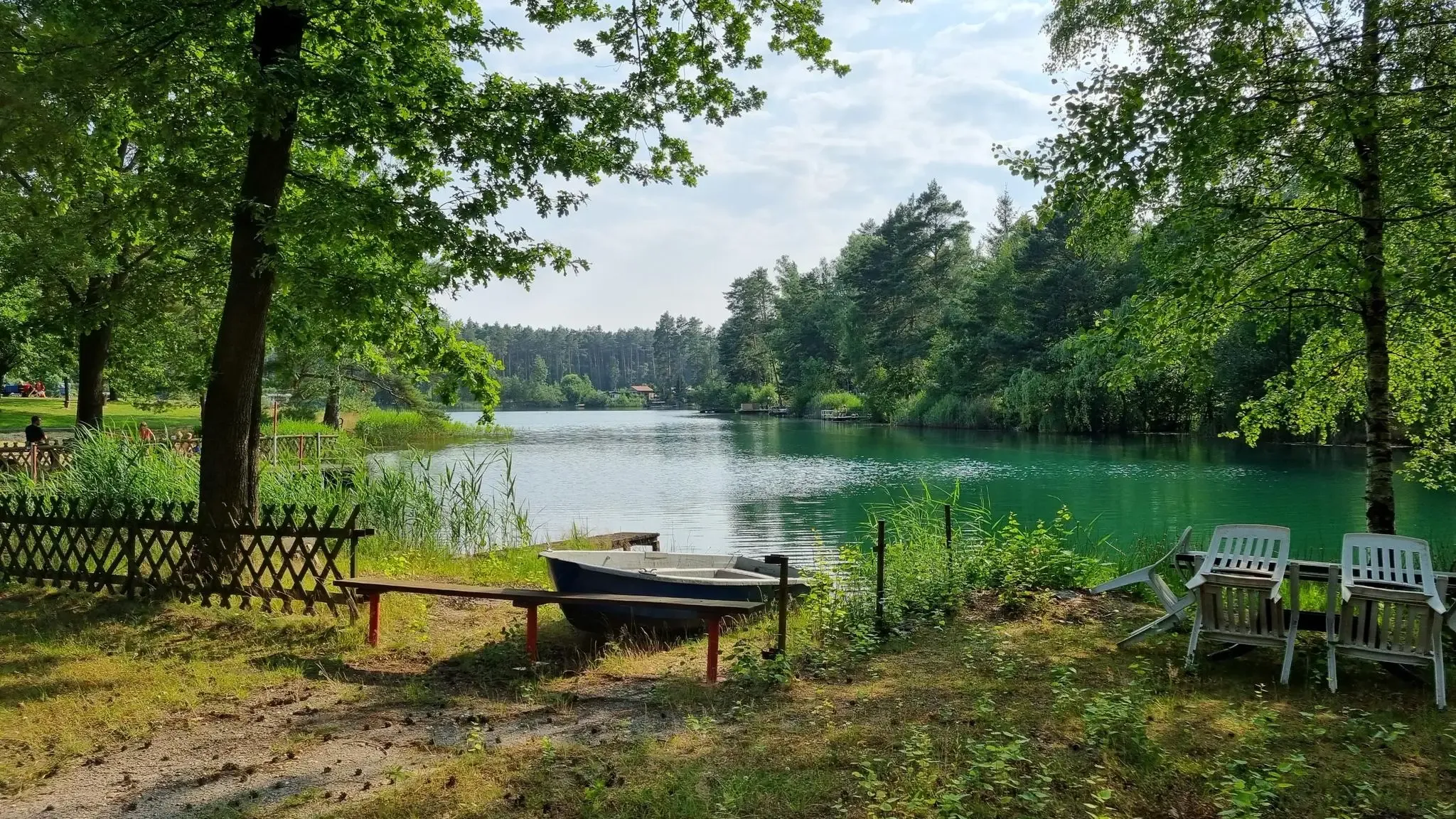
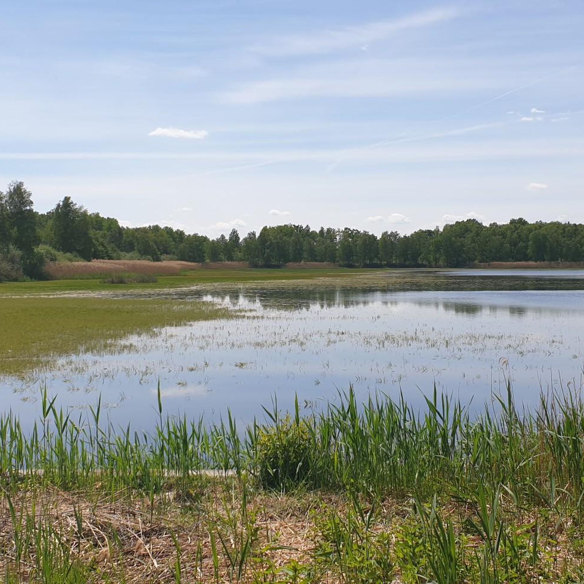
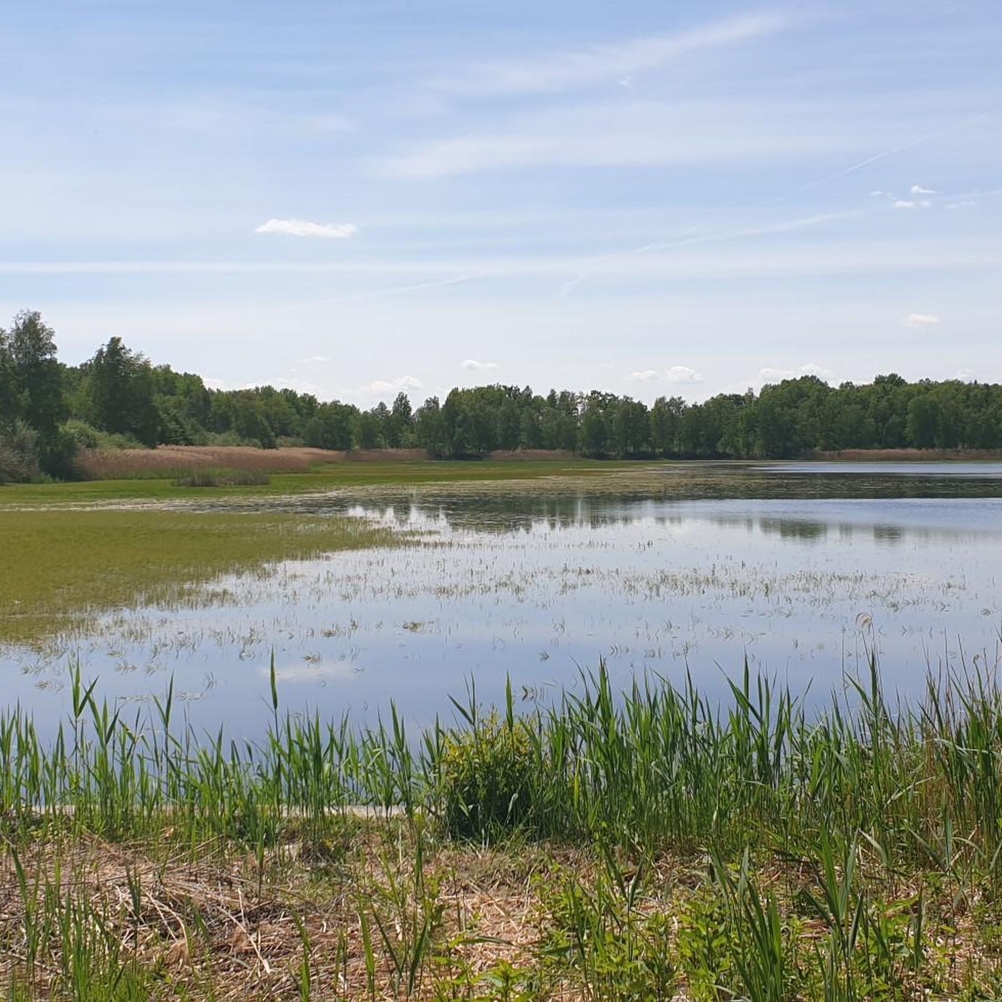
A nice little round with a stop at the lake outlet where we also find the forest house
0
0


The German-Polish border on the Neisse runs quietly and calmly through the green landscape. On one side of the river stands the red and white striped border post, on the other the black, red and gold one. Both markers are silent witnesses to the border line that runs right through the spacious Muskau Park. The Neisse flows gently between the two countries, and as you walk along the river you feel little of the political significance of this border region. Nature is in charge here - forests, meadows and the calming flow of the water dominate the picture. The border crossing is seamlessly integrated into the landscape, and you often don't notice that you are crossing a border here. For hikers and cyclists, this is a place of peace and quiet where you can enjoy the beauty of the surroundings while the history and significance of this border region remains in the background.
0
0
The cozy courtyard in Muskau Park invites you to linger - especially in the shade of the old trees that frame the café. After a tour through the extensive park, this is the perfect place for a break. There is enough space for cyclists to park their bikes and enjoy the flair of the historic courtyard. The Prince Pückler ice cream is particularly popular and provides a welcome refreshment on warm days. The well-kept buildings of the courtyard date from the time of Prince Pückler's reign and have been lovingly restored. Some of them are even used as apartments today. It is a beautiful mix of history and the present that can be felt in this quiet corner of the park. The atmosphere is relaxed and while you sit under the trees, your gaze wanders over the harmoniously designed surroundings.
0
0

The only border church located in Germany today.
1
0

The park around the Hermannsbad is a feast for the eyes and then this wonderful park railway appears 🤩 You have to see it!
0
0

Very well developed cycle paths
0
0

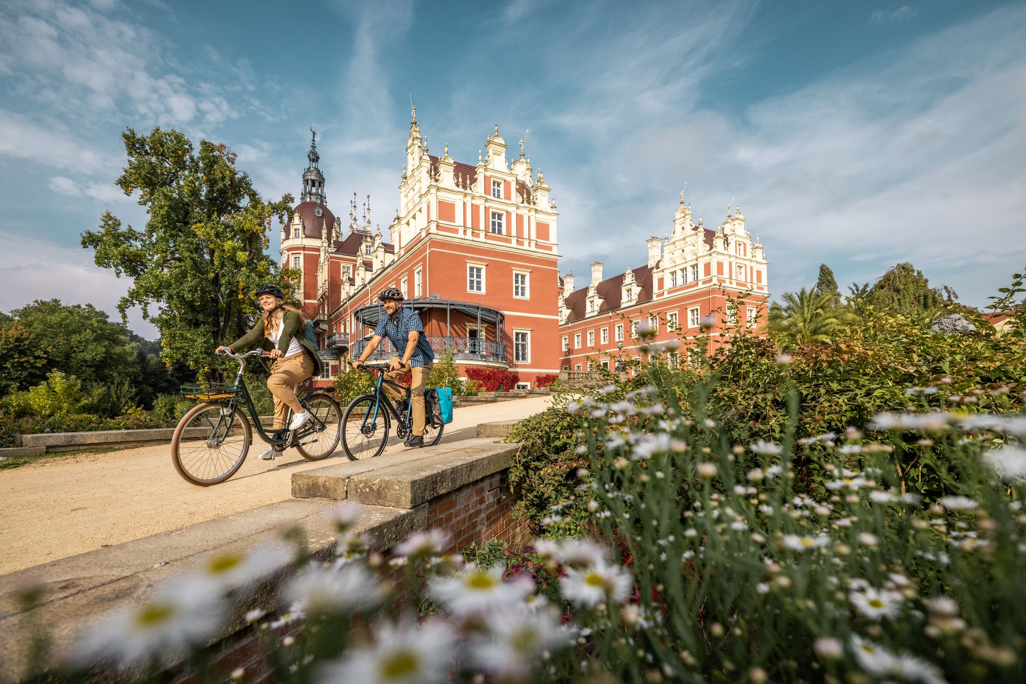
The Prince Pückler Park in Bad Muskau, based on the English model, extends over an area of over 830 hectares on both sides of the Neisse. What appears to be naturally occurring and grown is planned down to the last detail - a garden work of art by Hermann Prince Pückler-Muskau. The nobleman designed the landscape park between 1815 and 1845. In 2004, the complex was declared a World Heritage Site by UNESCO.
9
0
クラウシュヴィッツでのの人気観光スポット

komootモバイルアプリでインスピレーションを得よう


さらに探索
他の地域の最高のランニングトレイル & ルートを見てみましょう。
