カルモンのおすすめウォーキング&ハイキングルート
4.2
(283)
1,323
ハイカー
78
ハイキング
カルモン周辺でのハイキングは、景色を満喫するのに最適な手段のひとつですが、適切なハイキングルートを見つけることは簡単ではありません。 カルモン周辺の人気ハイキング&ウォーキングコースを参考にすれば、行きたいルートをすぐに見つけられます。
最終更新日: 10月 10, 2026
4.5
(37)
179
ハイカー
15.4km
03:58
80m
80m
中程度のハイキング. ある程度のフィットネスレベルが必要です。 進みやすいルートです。あらゆるスキルレベルに適しています。
3.0
(1)
6
ハイカー
24.9km
06:49
350m
470m
難しいハイキング. 標準以上のフィットネスレベルが必要です。 進みやすいルートです。あらゆるスキルレベルに適しています。

4.1
(10)
25
ハイカー
14.6km
03:58
210m
210m
中程度のハイキング. ある程度のフィットネスレベルが必要です。 進みやすいルートです。あらゆるスキルレベルに適しています。
3.8
(8)
33
ハイカー
5.91km
01:34
60m
60m
初級者向けハイキング. あらゆるフィットネスレベルに適しています。 進みやすいルートです。あらゆるスキルレベルに適しています。
4.5
(12)
47
ハイカー
7.40km
01:53
20m
20m
初級者向けハイキング. あらゆるフィットネスレベルに適しています。 進みやすいルートです。あらゆるスキルレベルに適しています。
さらに多くのルートや他のユーザーのおすすめ情報を確認できます。
すでにアカウントをお持ちですか?
おすすめのツアーは他のkomootユーザーが実際に経験した何千ものアクティビティに基づいています。
無料アカウントで今日から始めよう
次の冒険が待っています。

コミュニティからのヒント


近くに駐車場とピクニックエリアがある素敵なハイキング。泉へ続く小道は少し急で、雨が降ると滑りやすいかもしれません。サビヌス洞窟は一見の価値がありますが、子供連れの場合は注意してください。
0
0

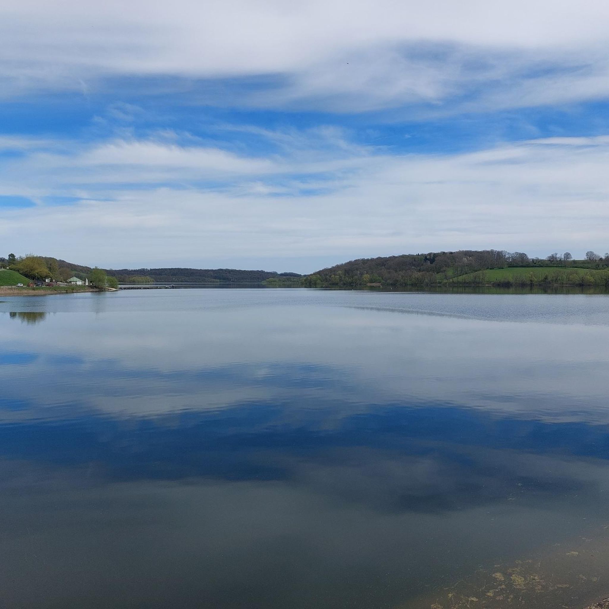
A beautiful local recreation area for hiking, swimming, and other recreational activities. The path around the lake is more suitable for hiking than cycling. We still managed it, though.
1
0

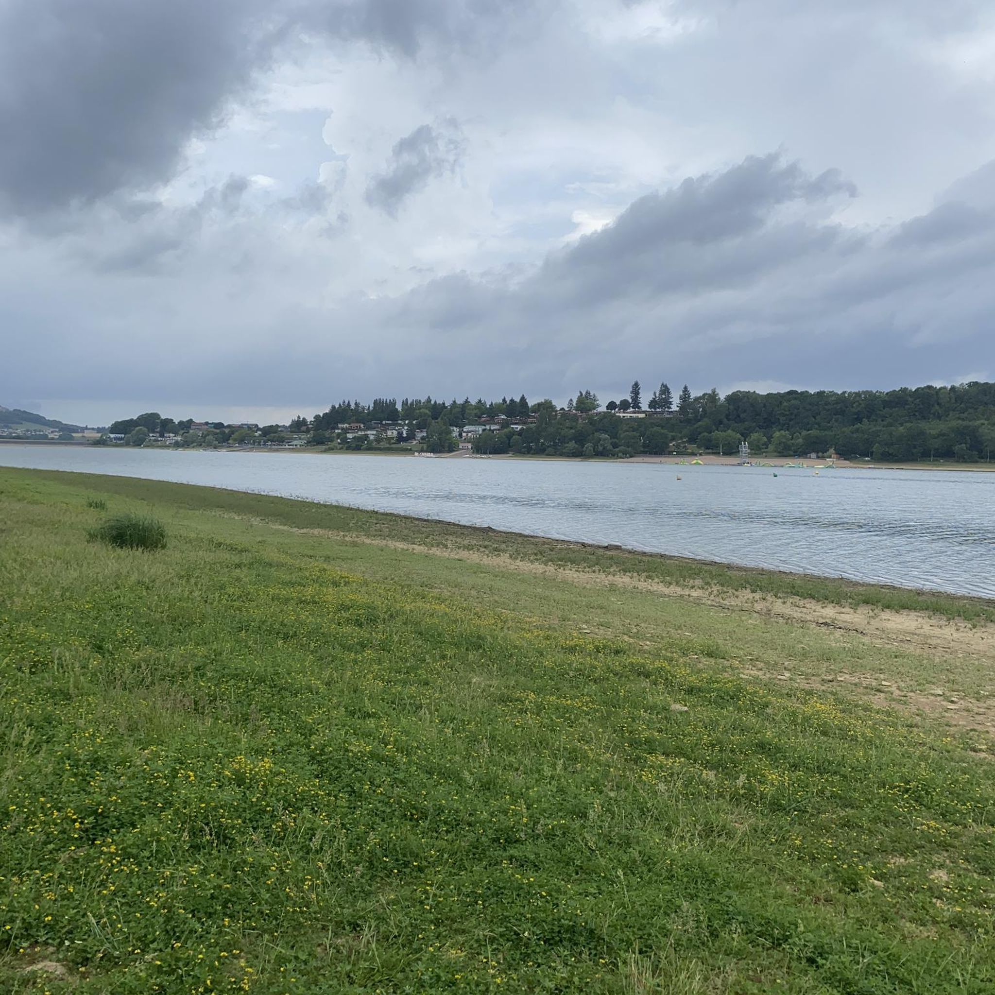
A very beautiful circular route around Lac de la Liez, whether on foot or by bike.
0
0

From this road you have a wonderful view of Langres, which rises on the hill opposite.
1
0

This vast expanse of water of 290 ha allows the practice of many activities. If you have a sporty soul, a 16 km route even allows you to go around it on foot or by mountain bike.
2
0

The Marne (Latin Matrona) is a river in France. It rises on the plateau of Langres, in the municipality of Balesmes-sur-Marne, at an altitude of about 420 meters. It initially drains to the northwest, later turns to the west and southwest and flows into the Seine as a right tributary after about 514 kilometers between Charenton-le-Pont and Ivry-sur-Seine, just southeast of Paris. Several French departments are named after the Marne, namely Haute-Marne, Marne, Seine-et-Marne and Val-de-Marne.
3
0

Originally, Lake Liez was called “Lecey dyke”. This is linked to the digging of the Marne-Saône canal. The Liez dam is 490 meters long and 16 meters high. It is the largest of the four feeding lakes of the upper reach of the canal between Champagne and Burgundy.
2
0
カルモンでのの人気観光スポット

komootモバイルアプリでインスピレーションを得よう


さらに探索
他の地域の最高のハイキングを見てみましょう。
