デューンペルフェルトのおすすめ登山&山歩きルート
4.8
(51)
111
ハイカー
7
ハイキング
アールヴァイラーの山々をもっと探索しませんか?このガイドでご紹介するのは、komootがデューンペルフェルトでの登山&山歩きのコレクション全体を評価して選び抜いた、このエリアの人気ルートです。あなたに合ったルートを見つけるには、他のユーザーがアップロードした役立つ情報や写真を閲覧し、クリック操作で簡単に表示できる詳細なデータを参考にしましょう。デューンペルフェルトでの次の冒険にぴったりの登山&山歩きルートが見つかるはずです。
最終更新日: 8月 25, 2026
4.8
(13)
33
ハイカー
5.81km
01:56
170m
170m
難しい登山ルート. あらゆるフィットネスレベルに適しています。 安定して歩行できる技術、丈夫な靴、高標高地での登山経験が必要です。
4.5
(15)
35
ハイカー
14.4km
04:44
550m
550m
難しい登山ルート. ある程度のフィットネスレベルが必要です。 安定して歩行できる技術、丈夫な靴、高標高地での登山経験が必要です。

無料新規登録
4.9
(16)
22
ハイカー
16.6km
05:33
660m
660m
難しい登山ルート. 標準以上のフィットネスレベルが必要です。 安定して歩行できる技術、丈夫な靴、高標高地での登山経験が必要です。
4.7
(3)
12
ハイカー
16.3km
05:00
510m
510m
難しい登山ルート. ある程度のフィットネスレベルが必要です。 安定して歩行できる技術、丈夫な靴、高標高地での登山経験が必要です。
4.5
(2)
4
ハイカー
18.3km
05:37
580m
580m
難しい登山ルート. 標準以上のフィットネスレベルが必要です。 安定して歩行できる技術、丈夫な靴、高標高地での登山経験が必要です。
さらに多くのルートや他のユーザーのおすすめ情報を確認できます。
無料新規登録
すでにアカウントをお持ちですか?
おすすめのツアーは他のkomootユーザーが実際に経験した何千ものアクティビティに基づいています。
無料アカウントで今日から始めよう
次の冒険が待っています。
ログインまたは登録
コミュニティからのヒント

アルテナールにあるワインハウス「ツム・シェーファーカルレン」は、ファサードの2つの碑文が示すように、1716年に建てられ、1979年に改築されました。
2
0

During wine week there will be a wine kiosk here and you can buy a holder to put your wine glass in 😀
17
1
The devil once went to the Ahr valley and was so pleased with the land and its people, but especially the excellent red wine, that he forgot his way home. One day, while he was resting on the mountain opposite Are Castle, his grandmother approached him in the form of a beautiful girl. In the arms of the lovesick devil, she quickly changed back into the disgusting old woman he knew all too well. Angrily, he grabbed his grandmother and threw her back through the rock face into hell. This is how the Teufelsloch came into being, which can still be seen above Altenahr today.
20
0

Really alpine trail with easier climbing sections, not always very stable rock and sometimes finding the way requires a bit of intuition.
4
0

The dwarf or angel hole at Engelsley is significantly smaller and more difficult to reach than the devil's hole. The Engelsley is not suitable for inexperienced hikers!
1
0

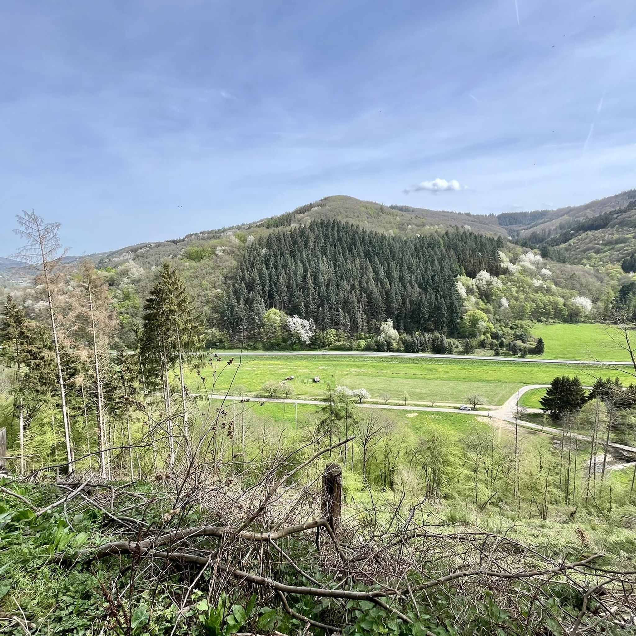
注意深いハイカーなら、道を縁取るカルバリーのステーションに気づいたことでしょう。川のずっと上にあるこの展望地点からは、アール渓谷の美しい景色を眺めることができます。そこで、インスブルックの司教ラインホルト・シュテッヒャー(*1921年、+ 2013年)の適切な言葉を思い出したいと思います。彼は生涯を通じて自然と山々に深く結びつき、それらを私たち人間に託された神の素晴らしい創造物と見なしていました。 「静寂は、より深い人間性への招待である。」
20
1

Since the original staircase including the attachment to the shore was washed away by the tide, you have to climb down the stones.
0
0
The Teufelsley (T4, partly T5) & Engelsley (T5) are tightrope walks. The flooring is mainly rock; also larger boulders. Both have a good grip (but sometimes have sharp edges), provided it is dry. At the Engelsley, the scree is a little smaller/loose and thus the sure-footedness decreases! Since these are difficult mountain/alpine trails (>T4), there are no safety devices (climbers usually secure themselves). -> For this reason, clear advice on my part: Grds ONLY to do when the ground is dry (i.e. no rain the day before) and/or when there are not too many leaves on the rock (autumn). The direction is also important: The ridges are naturally narrow and especially on the Engelsley, there are no alternatives to/from the summit. Unfortunately, I followed the planned tour without prior checking and was lucky. On the Teufelsey, the other 3 people also went in the same direction; I was alone on the Engelsley and can therefore not judge it. -> Grds I advise: from south to north Engelsley: This tightrope walk is no problem for experienced mountaineers (I deliberately avoid the word hiker) with the appropriate previous knowledge and possibly equipment. Summit book is available. -> Komoot warning: Parts of your route are very dangerous The route may contain very technical, difficult or dangerous terrain. Special equipment and previous knowledge are absolutely necessary.
5
1

komootモバイルアプリでインスピレーションを得よう


さらに探索
他の地域の最高の登山ハイキング & ルートを見てみましょう。
