ケルケンのおすすめランニングルート
4.3
(61)
529
ランナー
65
ランニング
ケルケンでランニングを楽しめば、このエリアをより深く知ることができます。ランニングに適した美しいルートが見つかるように、komootがケルケンでのルートのコレクション全体を評価して選び抜いた、人気ランニングトレイルをご紹介します。ルートをクリックして詳細を表示し、他のユーザーがアップロードした役立つ情報や写真を閲覧しましょう。
最終更新日: 10月 25, 2026
5.0
(3)
88
ランナー
6.13km
00:39
10m
10m
中程度のジョギング. ある程度のフィットネスレベルが必要です。 ほとんどが舗装路です。
4.0
(2)
21
ランナー
6.29km
00:40
10m
10m
中程度のジョギング. ある程度のフィットネスレベルが必要です。 ほとんどが舗装路です。

5.0
(1)
26
ランナー
6.74km
00:42
10m
10m
中程度のジョギング. ある程度のフィットネスレベルが必要です。 ほとんどが舗装路です。
4.5
(4)
21
ランナー
9.33km
00:58
10m
10m
中程度のジョギング. ある程度のフィットネスレベルが必要です。 ほとんどが舗装路です。
3.0
(1)
15
ランナー
11.8km
01:16
20m
20m
中程度のジョギング. ある程度のフィットネスレベルが必要です。 ほとんどが舗装路です。
さらに多くのルートや他のユーザーのおすすめ情報を確認できます。
すでにアカウントをお持ちですか?
おすすめのツアーは他のkomootユーザーが実際に経験した何千ものアクティビティに基づいています。
無料アカウントで今日から始めよう
次の冒険が待っています。

コミュニティからのヒント


"The current church building dates back to the early 15th century. The core has a late Gothic appearance, while the church tower is unmistakably Neo-Gothic. The church building originates from an early 15th-century church. The core has a late Gothic appearance, while the church tower is unmistakably Neo-Gothic. The parish church of St. Peter and Paul immediately captivates its visitors and is of historical significance for the entire Lower Rhine region. Interesting guided tours, filled with stories, reveal beautiful, sometimes hidden, details." https://www.niederrhein-tourismus.de/attraktion/st.-peter-und-paul-a7d292c910
2
0
St. Hubertus Chapel Rather Weg, 47647 Kerken-Eyll "The landmark in Eyll is still quite new. The foundation stone was laid only on May 5, 2007. After initial discussions, inspired and motivated by the idea, Wim Looschelders, Paul Cladders, Mathias Teneyken, Jakob Kempkens, and Walter Stevens solidified their decision to build a new chapel in Obereyll. Renate and Theo Fürtjes provided the necessary land for the chapel. The building permit was granted in May 2006, and the new chapel was presented at the general meeting of the St. Hubertus Brotherhood on August 14, 2006. The St. Hubertus Eyll Chapel Building Association was founded, with Wim Looschelders as chairman. Two sales and information events, as well as the sale of building blocks for the chapel starting in January 2007, brought the hoped-for financial success. Much work..." The challenges were overcome by the founding members together with many helpers. The foundation stone was laid on May 5, 2007, and the tower and bell were installed on July 12. Two days later, the topping-out ceremony took place with great participation from the local population. https://www.niederrhein-tourismus.de/attraktion/st.-hubertus-kapelle-b6587dff46
2
0

In 1890, the tower was built in its current form; it is 63 meters high. The parish church is open to visitors before and after services. Tours can be booked through the local history society or the parish office.
14
0

Discover the "Kerkener Kunststrom-Radroute" circular route in Kerken
1
0
At a crossroads lies the memorial to Johannes Paulsen, who was murdered at this spot in 1668 and lived in Eyll.
1
0
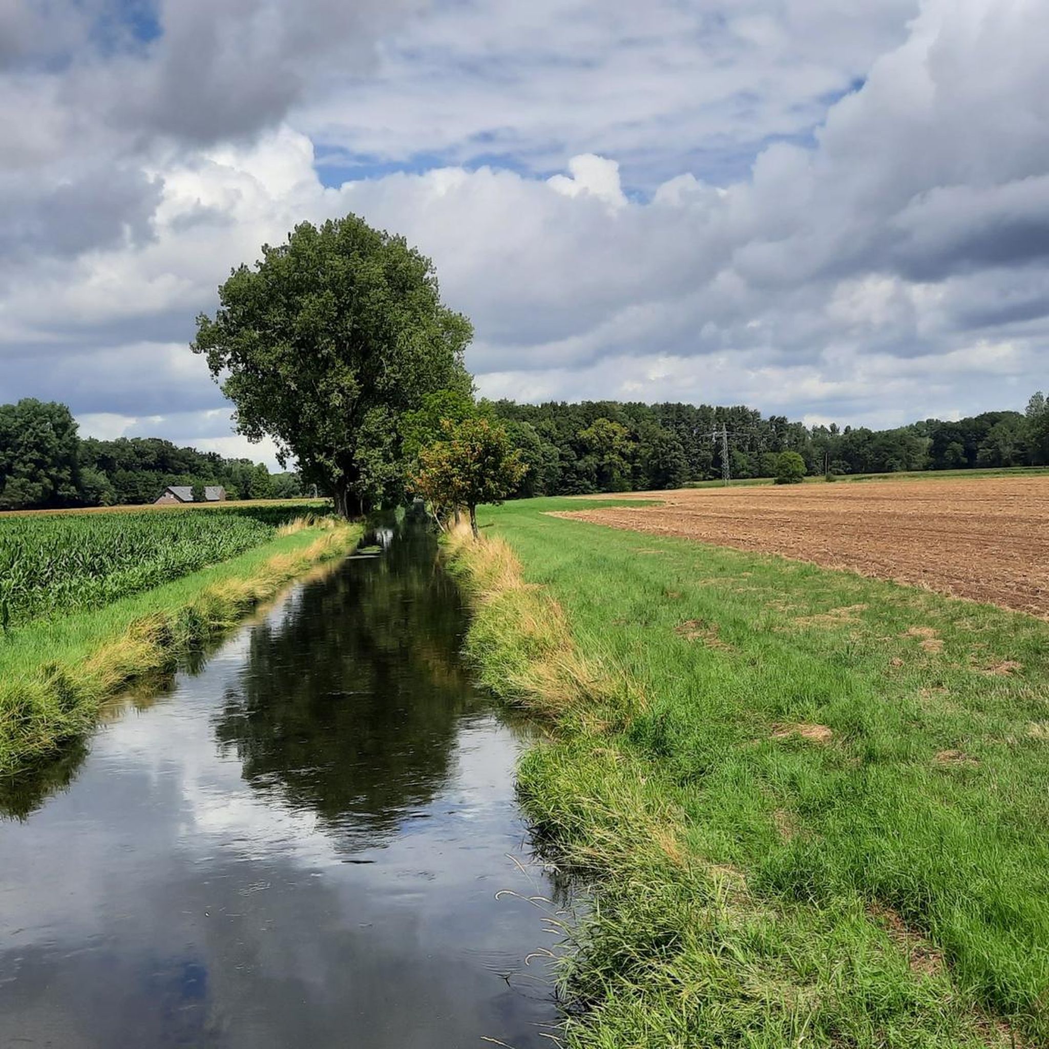
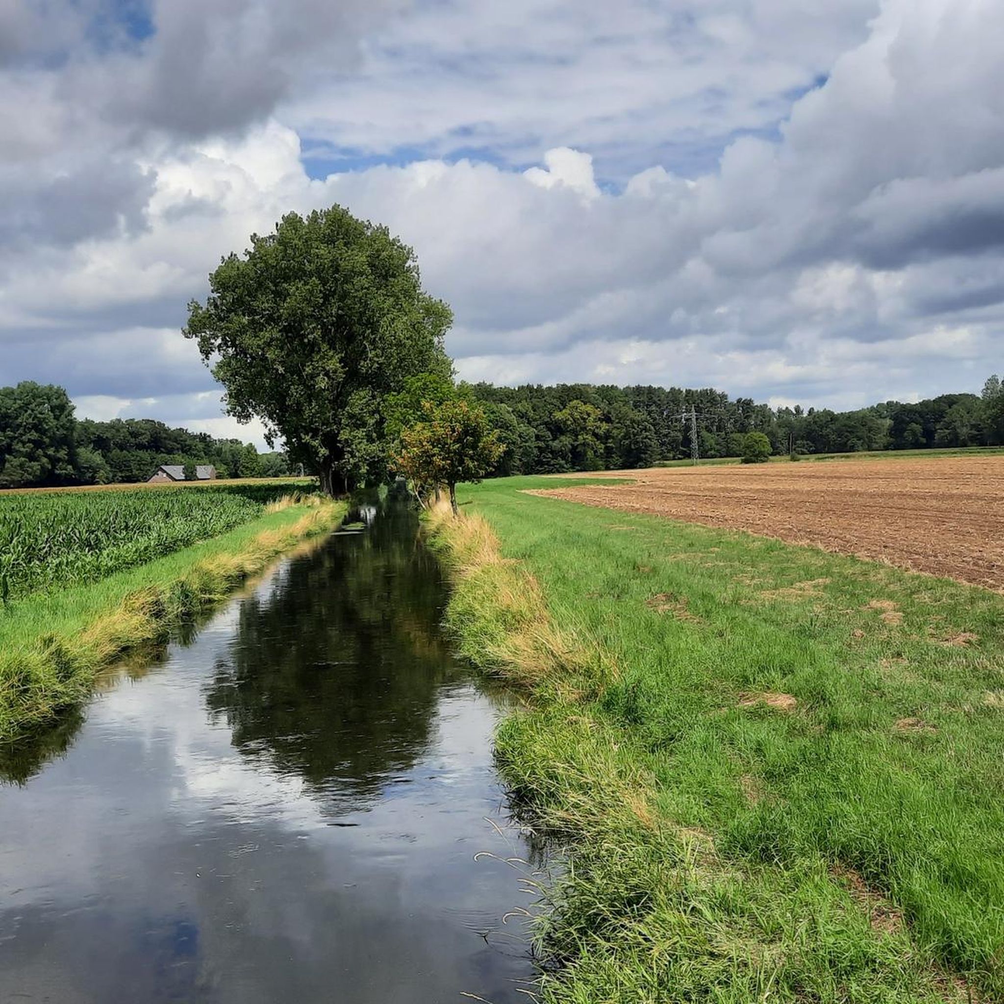
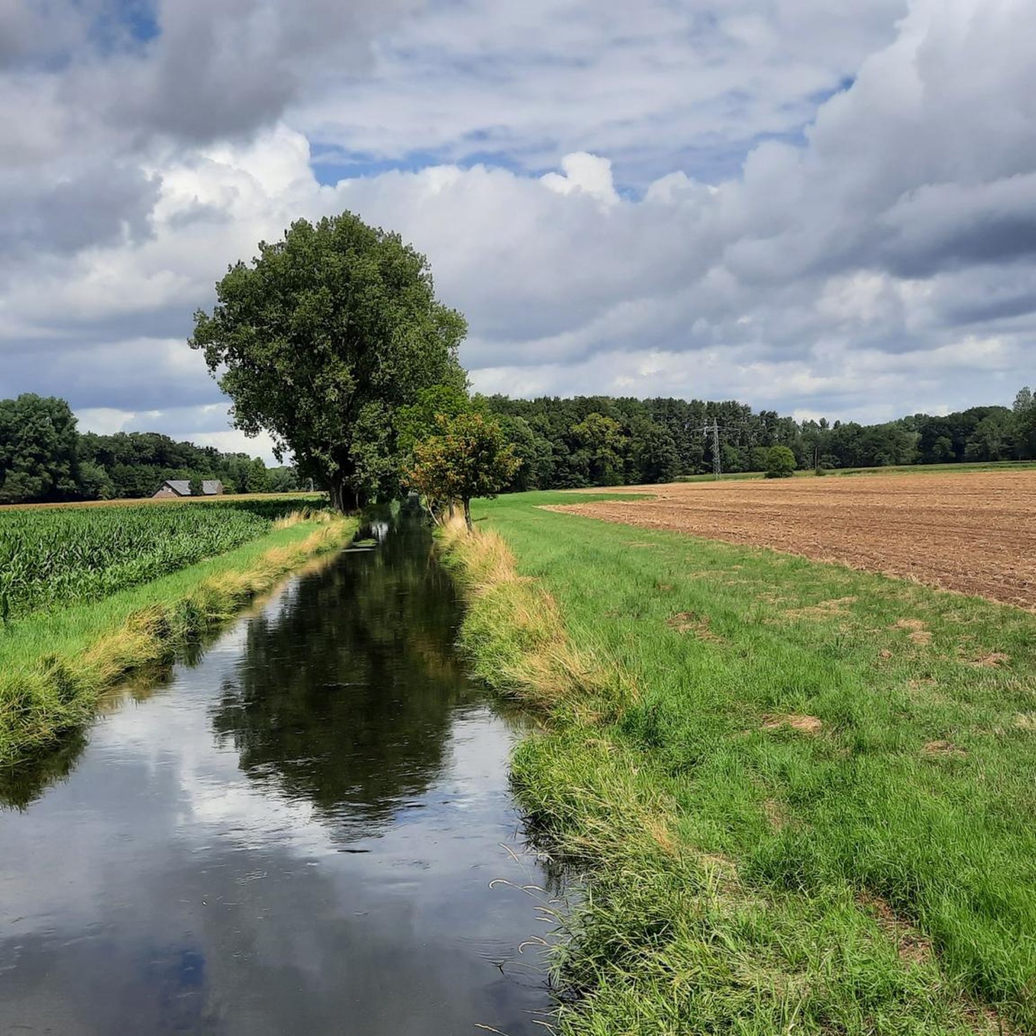
<< The Black Rahm >> "The stream, designated as the Gelderner Fleuth on the watercourse map, originates in the ditch system of the Gastendonk cultural monument in Kempen. Topographical maps still refer to the stream here as the Black Rahm. After a few meters, the Fliethgraben flows in from the left, connecting the stream to the Flöthbach. The Black Rahm flows west and south past a lake, then picks up the opposing Uhlesrahm on the left, bends north, flows west past the lake, and then picks up an unnamed stream from the right, turning west again; here, the river code changes from 28641 to 28643. The Black Rahm then curves northward and changes its name to Spring in the Eyller Bruch. Only after the confluence with the Landwehrbach (Leygraaf) is it also referred to as the Gelderner Fleuth on topographical maps." https://de.wikipedia.org/wiki/Gelderner_Fleuth
1
0
"The Nieukerk Town Hall has had various locations and functions. Initially, the current municipal archive at Krefelder Straße 2 served as the town hall from 1922 to 1969. In 1890, a town hall was built on Marktstraße, which was demolished in 1970 after the merger of Aldekerk and Nieukerk to form Kerken because it was too small for the new municipality. Explanation: 1922–1969: The current municipal archive at Krefelder Straße 2 served as the town hall of the Nieukerk district. 1890: A new town hall was built on Marktstraße. 1969: Aldekerk and Nieukerk were merged to form Kerken. 1970: The town hall on Marktstraße was demolished because it was too small." Source: KI
4
0

komootモバイルアプリでインスピレーションを得よう


さらに探索
他の地域の最高のランニングトレイル & ルートを見てみましょう。
