メーネセのおすすめランニングルート
4.6
(561)
7,552
ランナー
246
ランニング
メーネセでランニングを楽しめば、このエリアをより深く知ることができます。ランニングに適した美しいルートが見つかるように、komootがメーネセでのルートのコレクション全体を評価して選び抜いた、人気ランニングトレイルをご紹介します。ルートをクリックして詳細を表示し、他のユーザーがアップロードした役立つ情報や写真を閲覧しましょう。
最終更新日: 10月 21, 2026
4.7
(68)
1,047
ランナー
9.61km
01:00
40m
40m
中程度のジョギング. ある程度のフィットネスレベルが必要です。 ほとんどが舗装路です。
4.5
(26)
359
ランナー
7.97km
00:49
30m
30m
中程度のジョギング. ある程度のフィットネスレベルが必要です。 ほとんどが舗装路です。

4.4
(7)
264
ランナー
19.8km
02:04
130m
130m
難しいジョギング. 標準以上のフィットネスレベルが必要です。 ほとんどが舗装路です。
4.6
(24)
410
ランナー
17.3km
01:49
130m
130m
難しいジョギング. 標準以上のフィットネスレベルが必要です。 ほとんどが舗装路です。
4.6
(28)
464
ランナー
10.2km
01:03
50m
50m
中程度のジョギング. ある程度のフィットネスレベルが必要です。 ほとんどが舗装路です。
さらに多くのルートや他のユーザーのおすすめ情報を確認できます。
すでにアカウントをお持ちですか?
おすすめのツアーは他のkomootユーザーが実際に経験した何千ものアクティビティに基づいています。
無料アカウントで今日から始めよう
次の冒険が待っています。
メーネセ周辺で人気
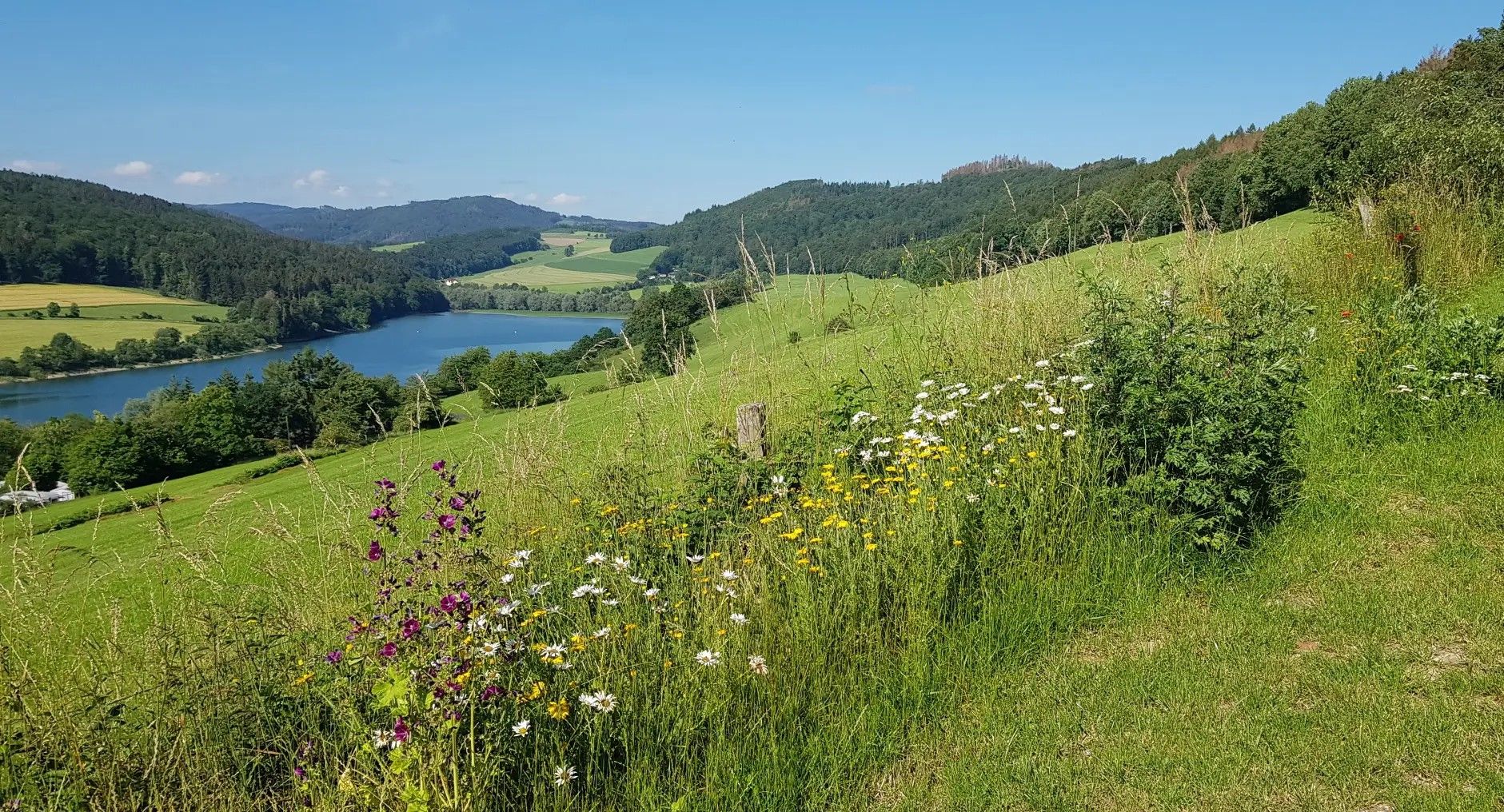
ドイツのザウアーランド森のルートの景色と発見
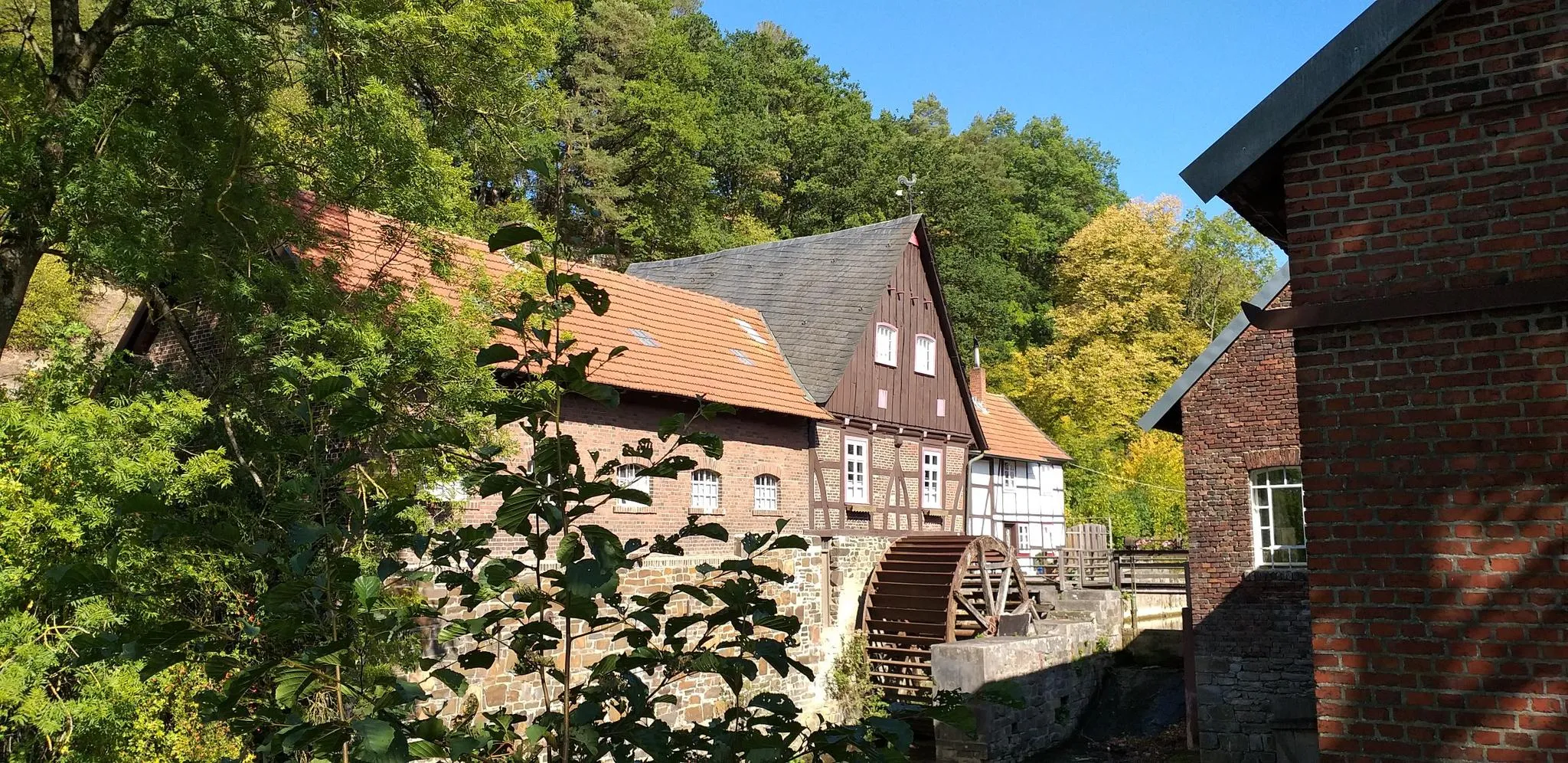
ドイツのルール地域の歴史を追いながらハイキング – WestfalenWanderWeg
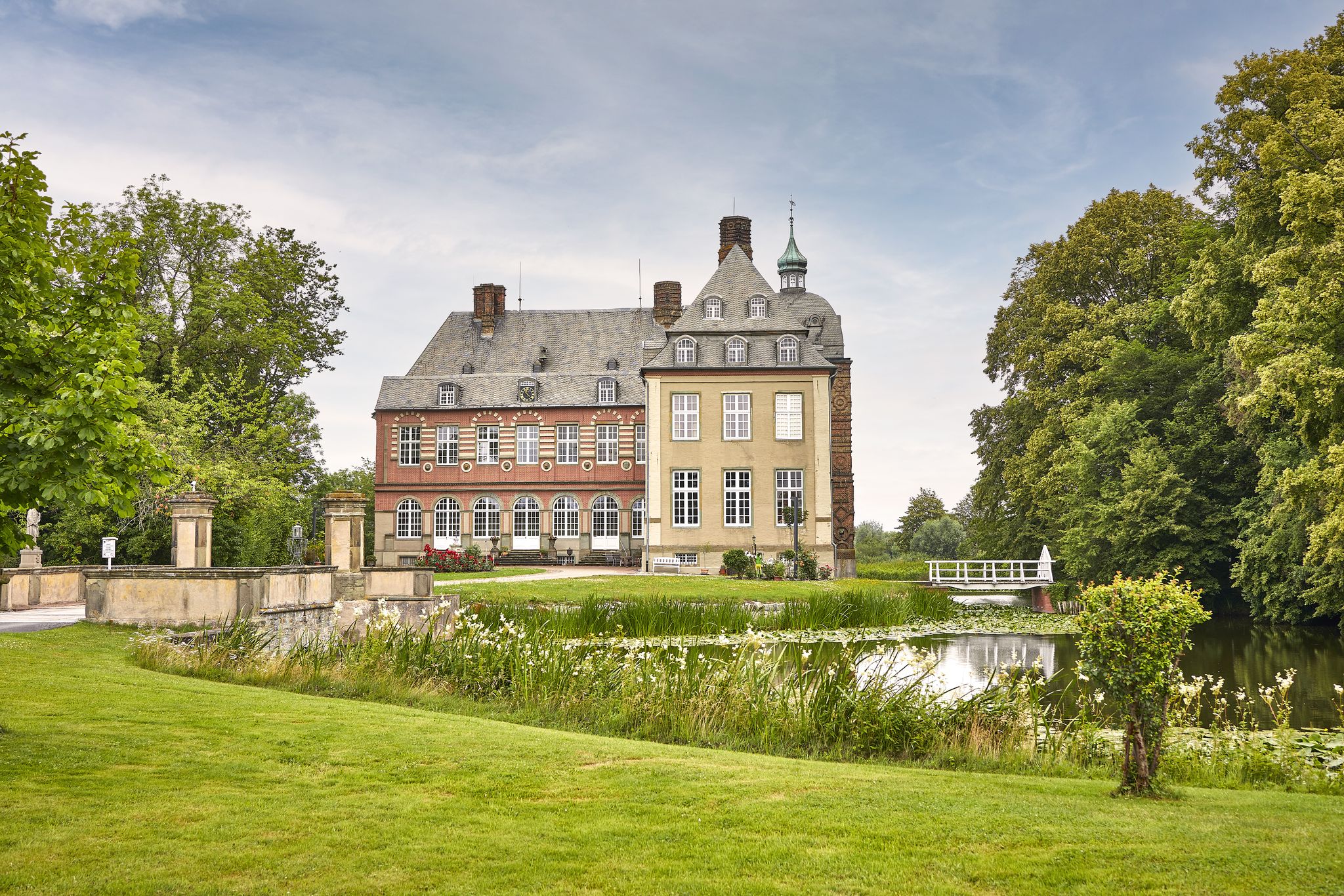
Hellweg Börde Cycling Region – premium rides in Westphalia's heart

Fun, experience, power – cycling in the Sauerland region
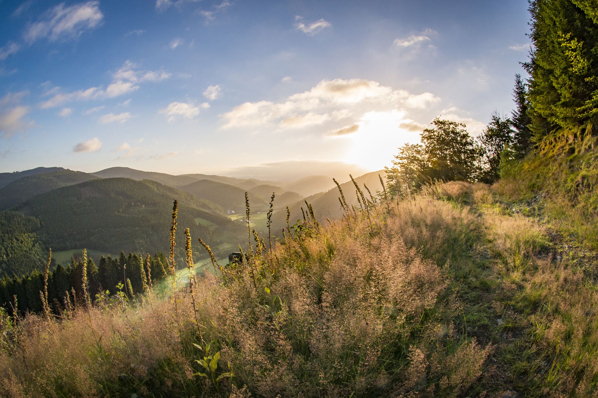
Pure Wanderlust — day Tours in the Sauerland
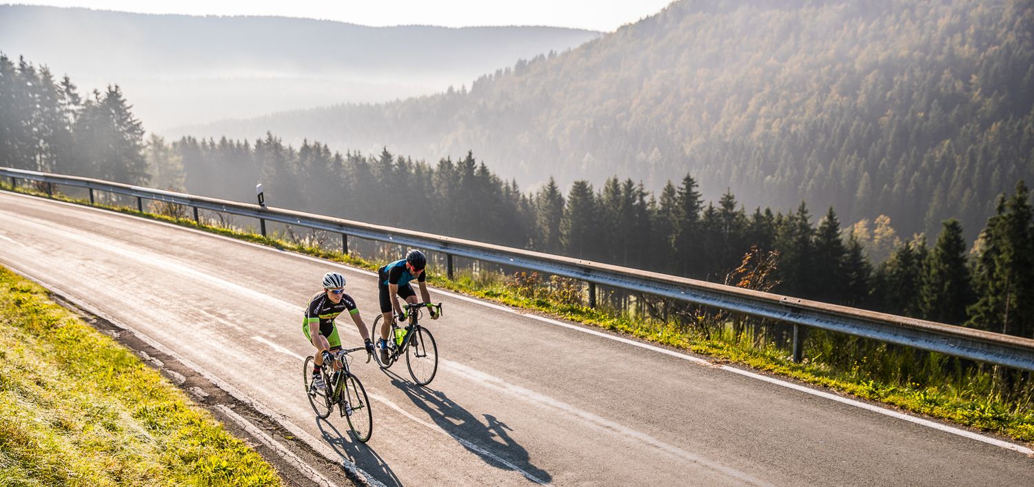
1,000 山の国を通る – ザウエルランドでロードサイクリング
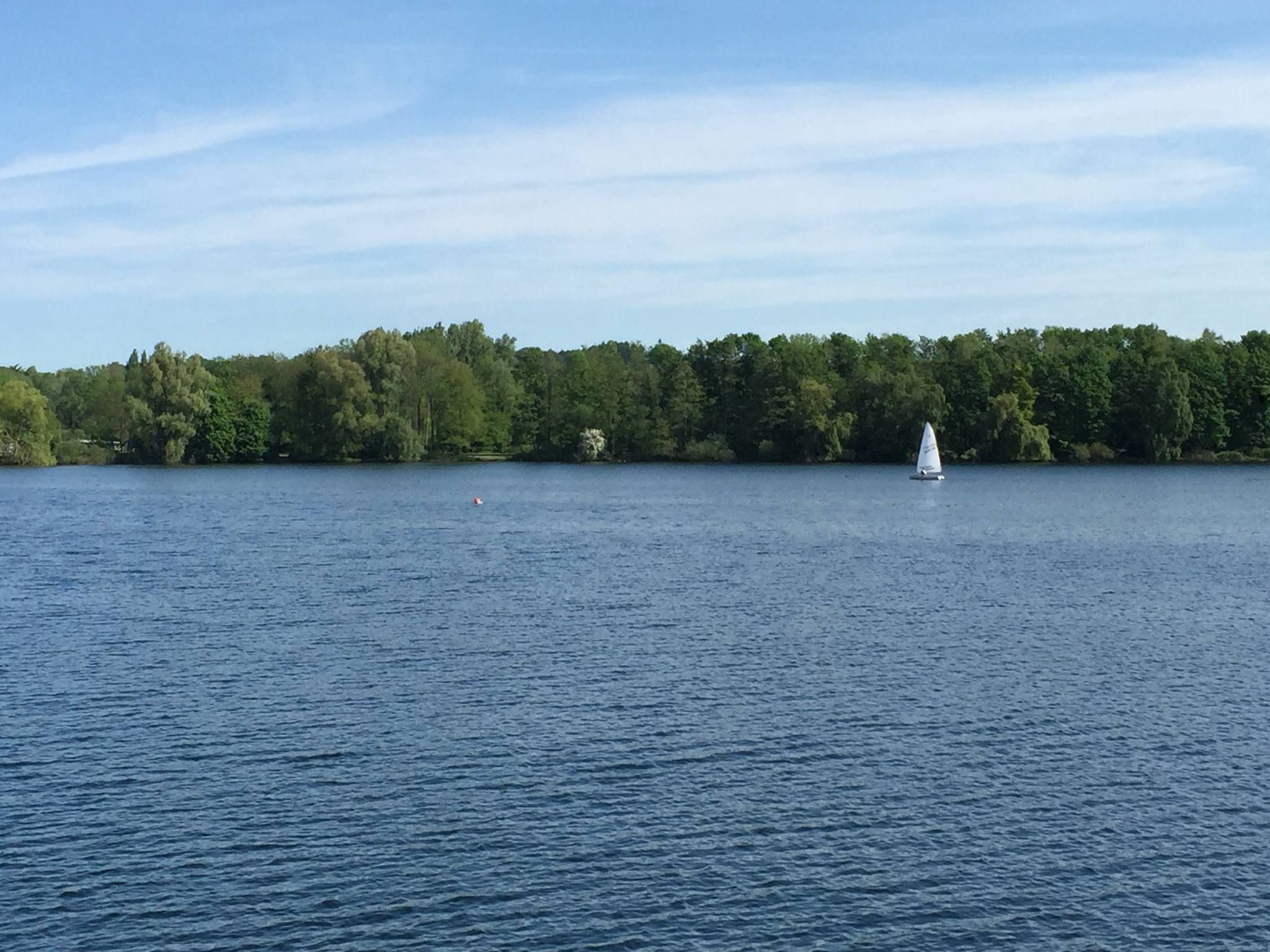
The most beautiful swimming lakes in North Rhine-Westphalia
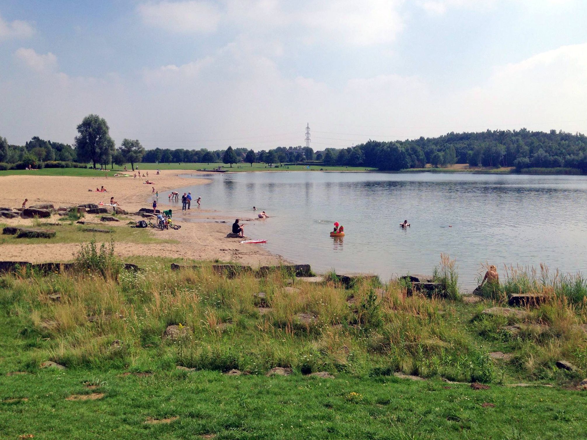
The best swimming lakes in the Ruhr Area
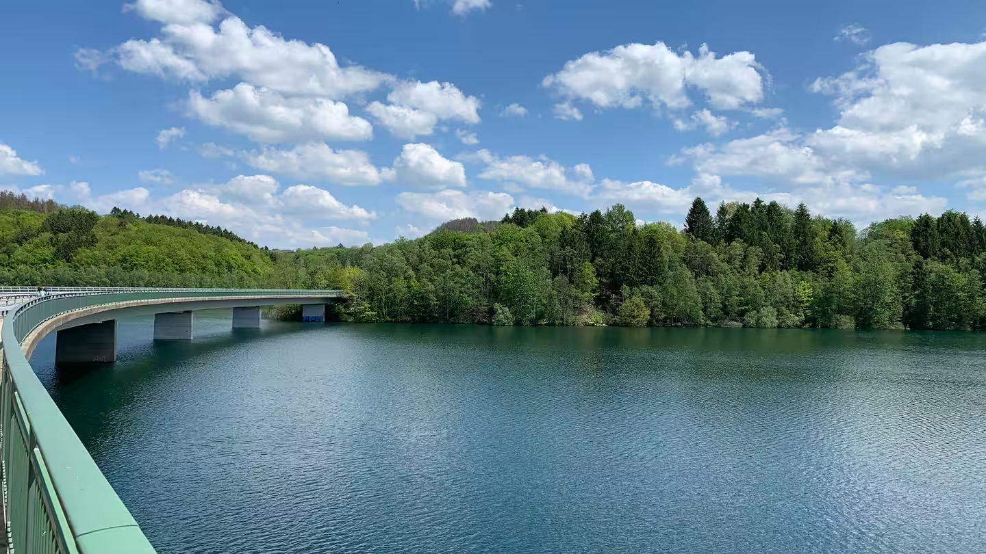
Zwischen Seeblick und Waldbaden – Mikroabenteuer in NRW
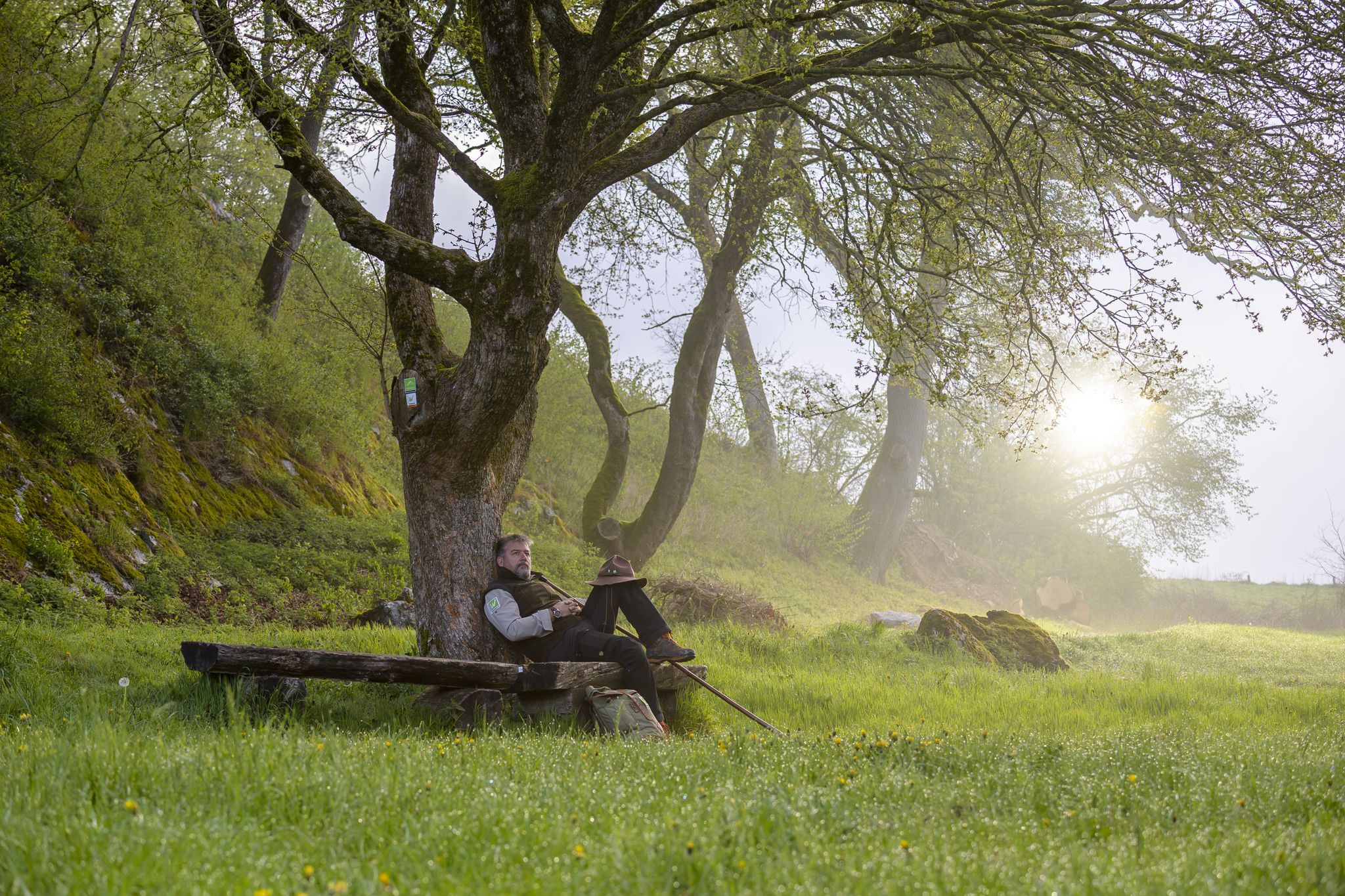
Zauberhaft mystisch - Die Sauerland-Waldroute
メーネセでのの他の冒険


コミュニティからのヒント


@Pilger auf zwei Räder: In principle, I agree with you that many of the highlights these days tend to confuse rather than help you find interesting places. However, when criticizing such highlights, one should consider when they were created (this can be identified by the highlight ID—here, 95914, which, given the over 7,000,000 highlights created, is one of the first—or by the date of the oldest tip, here, 2019). At that time, it may well have been the first highlight, "Möhnesee"—in any case, not one that already existed 100 times around the lake. And then I prefer a general highlight that describes Möhnesee as an interesting destination to countless "more specific" highlights like "View of Möhnesee from..."
1
0

Anglers can enjoy nature and relax at the Sauerland lakes. Lake Möhne is a true fishing paradise with excellent fish stocks and fantastic fishing opportunities. Want to hone your fishing skills? No problem! The excellent local infrastructure makes anglers' hearts beat faster, offering specialist shops and tours with local fishing guides.
4
0
In Bilmer Grund, at the northwest corner of the municipality, is the lowest point in the municipality at 148 m above sea level. Towards the Haarstrang, the terrain rises to 264 m above sea level in the west and 301 m above sea level in the east, before descending to 178 m above sea level and 218 m above sea level towards the Möhne Valley. The highest elevations are the Phankopf at 413 m above sea level and the Freienohler Höhe at 407 m above sea level in the southern part of the municipality, which is part of the Arnsberg Forest.
4
0
The municipality of Möhnesee is located in the south of the Soest district. Its northern neighbor is the city of Soest. The municipality encompasses parts of the Westphalian Bay, the Haarstrang, and the northwestern Arnsberg Forest. The largest village is Körbecke, located centrally on Lake Möhne. Other villages in the Möhne Valley include Völlinghausen, Stockum, Delecke, Günne, and Brüningsen. While numerous villages can be found north of the Möhne, the only village south of the Möhne is Neuhaus, located on the Heve River.
4
0
Möhnesee is a municipality in North Rhine-Westphalia, Germany, located at the transition from the Soester Börde to the Sauerland region. It was created in 1969 as part of the municipal reorganization in North Rhine-Westphalia through the dissolution of the Körbecke district. The municipality is named after the Möhne Reservoir, built between 1908 and 1912. This reservoir is an important tourist destination and remains one of the municipality's most important economic factors.
4
0
A more sporty experience is offered by a sailboat. Recreational and sports sailors get their money's worth in challenging winds on one of Germany's largest reservoirs. Windsurfers really get their speed on the Möhne Dam in the rough autumn winds, while stand-up paddleboarders appreciate the calm waters at sunset. Canoeists also enjoy the tranquil lake at sunrise and sunset. Gliding over the water, you'll be treated to extraordinary views and a magnificent shoreline landscape.
4
0


komootモバイルアプリでインスピレーションを得よう


さらに探索
他の地域の最高のランニングトレイル & ルートを見てみましょう。
