ルート

プランナー

機能

アップデート

App

ログインまたはサインアップ

アプリを入手

ログインまたはサインアップ

ログインまたはサインアップ

ルート
サイクリングルート
ドイツ
ラインラントプファルツ州
ナヘランド
ビルケンフェルト

アーベントホイアー

アーベントホイアーのおすすめツーリングルート

4.6

(2552)

11,357

ライダー

342

ライド

アーベントホイアー周辺でのおすすめのサイクリングルートを参考にして、このエリアを最大限に楽しみましょう。ここでご紹介するのは、アーベントホイアー周辺の人気バイクライドです。ぜひ、自分に合ったルートを見つけてください。

最終更新日: 5月 18, 2026

4.5

(22)

81

ライダー

#1.

Abentheuerから出発する ビルケンフェルトの眺め – フンスリュック丘陵の眺め ループコース

47.5km

03:27

880m

880m

難しい自転車ライド. 標準以上のフィットネスレベルが必要です。 全般的に舗装された状態です。あらゆるスキルレベルに適しています。

デバイスでナビ

スマートフォンに送信

保存

難しい

難しい自転車ライド. 標準以上のフィットネスレベルが必要です。 ツアーの一部で自転車を押して歩く必要があるかもしれません。

難しい
guide_signup
私たちがkomootモバイルアプリで道を示します
無料の komoot アカウントがあれば、無限のアウトドアコースを簡単に見つけてカスタマイズし、ナビで案内できます。

無料新規登録

難しい自転車ライド. 標準以上のフィットネスレベルが必要です。 全般的に舗装された状態です。あらゆるスキルレベルに適しています。

難しい

難しい自転車ライド. 標準以上のフィットネスレベルが必要です。 全般的に舗装された状態です。あらゆるスキルレベルに適しています。

難しい

初級者向けバイクライド. あらゆるフィットネスレベルに適しています。 全般的に舗装された状態です。あらゆるスキルレベルに適しています。

初級
無料新規登録すると、アーベントホイアーでのでのライドをさらに338件ご覧いただけます。

さらに多くのルートや他のユーザーのおすすめ情報を確認できます。

無料新規登録

すでにアカウントをお持ちですか?

おすすめのツアーは他のkomootユーザーが実際に経験した何千ものアクティビティに基づいています。

無料アカウントで今日から始めよう

次の冒険が待っています。
ログインまたは登録

アーベントホイアー周辺で人気

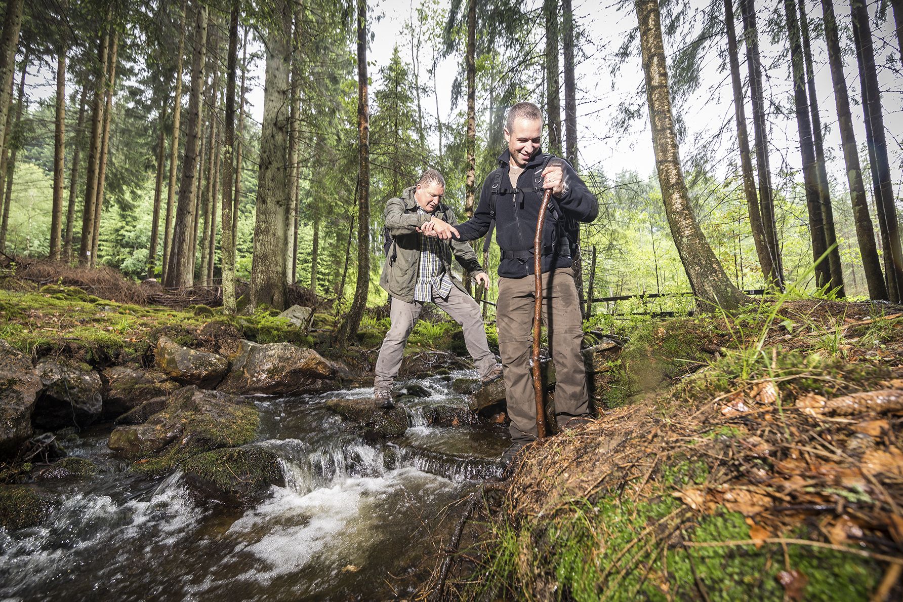
Off to the wild – hiking in the Birkenfelder Land

アーベントホイアーでのハイキング

アーベントホイアーのロードバイクルート

アーベントホイアーのMTBトレイル

アーベントホイアーのランニングコース

アーベントホイアーでののグラベルライド

アーベントホイアーでのの他の冒険

Off to the wild – hiking in the Birkenfelder Land

ハイキングのコレクション によって

Birkenfelder Land

コミュニティからのヒント

Espe
3月 1, 2026, Nonnweiler Reservoir Loop

Good paths, clearly signposted, very beautiful views and photo opportunities

Google翻訳による翻訳

0

0

The reservoir is easy to walk around ⭐️⭐️⭐️

Google翻訳による翻訳

0

0

The Roman god Mercury stands here amidst the greenery of Schwollen – with his purse and serpent-headed staff, symbols of trade, wealth, and his role as messenger of the gods. The figure serves as a reminder that the Romans were already active in this region, and that roads, goods, and messages once traveled through these valleys. Nestled among moss, ancient trees, and offering a view across the countryside, the statue appears almost like a silent guardian of the modern hiking trail. Tip: Take your time to read the information panel – it's especially fun with children to look for the statue's features (staff, purse, winged hat) and compare them with the description.

Google翻訳による翻訳

0

0

The Planet Trail begins with a model of the sun on the dam crest—impressively depicted at a scale of 1:1 billion. Information panels here explain the entire concept of the trail and pique curiosity about the solar system. The entrance is easily accessible and ideal for families. The sun serves as an impressive starting point for this educational hike.

Google翻訳による翻訳

2

0

The Prims fore-dam, with its pedestrian bridge, is an idyllic place to linger. From the bridge, you have a magnificent view of the tranquil water and the surrounding nature. The reservoir is nestled among forests and invites you to take a stroll or a short break.

Google翻訳による翻訳

3

0

The circular trail around the Nonnweiler Reservoir offers relaxing nature experiences right by the water. On the well-maintained path, you'll enjoy magnificent views of the lake. Along the way, you'll find numerous places to linger and observe the birdlife. The route is family-friendly and ideal for hiking or cycling.

Google翻訳による翻訳

4

0

A small bistro located directly at the Nonweiler Dam invites you to stop for a drink or a snack. It's an ideal stop for cyclists and hikers, with a view of the reservoir.

Google翻訳による翻訳

3

0

The shelter at the Primstal Dam offers a welcome break right by the water. Here, you can rest in the shade, enjoy the view of the reservoir, and gather new strength for the onward journey. Especially on hot days, this is an ideal place to take a short breather. It's also a popular meeting place for hikers and cyclists.

Google翻訳による翻訳

3

0

アーベントホイアーでのの人気ルート

アーベントホイアーでのハイキング

アーベントホイアーでのの人気観光スポット

Places to see

Store rating

komootモバイルアプリでインスピレーションを得よう

無料のkomootアカウントがあれば、無限のアウトドアコースを簡単に見つけてカスタマイズし、ナビで案内できます。

または

今すぐkomootに参加しよう

Store rating

さらに探索

他の地域の最高のサイクリングルートを見てみましょう。

イダー=オーバーシュタインNationalpark Hunsrück-HochwaldディーンシュトワイラーエルヴァイラーエッカースヴァイラーミッテルライデンバッハBerschweiler bei KirnベルフィンクHoppstädten-Weiersbachフォルマースバッハファイツロトブーレンベルクニーダーブロンバッハゾンネンベルク・ヴィネンベルクハーンヴァイラーBerschweiler bei Baumholderシュミスベルクメットヴァイラーリムスベルクアハテルスバッハギンブヴァイラーシュミットハッヘンバッハレーツヴァイラー-ノッケンタールリュックヴァイラーニーダーヴェルレスバッハハトゲンシュタインヴァイタースバッハダンバッハゲセンロートフラウエンバーグヘッテンロートキルシュヴァイラーボレンバッハケンプフェルトノーエンエルヴァイラーベルクランゲンバッハルハウネンクローヌヴァイラーディッケスバッハオーバーライデンバッハヴィルシュヴァイラージーンハッヘンバッハバウムホルダーフォーレンリンデンオーバーホーゼンバッハメルシートゾンシートグリーベルシートオーバーブロンバッハリンツェンベルクマッケンロートWilzenberg-Hußweilerヘラーツハウゼンヘルシュタインヴァイデンオーバーハンバッハゼンスヴァイラーライツヴァイラーニーダーハンバッハシュヴェルバッハヒンターティーフェンバッハヴィッケンロートジースバッハニーダーホーゼンバッハシエンクルンメナウルシュベルクライゼルオーバーキルンオーバーヴェルレスバッハアレンバッハホッテンバッハブリュッケンブルッフヴァイラーブンデンバッハホルブルッフシュティップスハウゼンシュヴォレン

近くのアドベンチャーガイド

ブリュッケンでやるべきこと

background

新しいピークを征服する準備をしよう

無料でサインアップ

探検する
ルートルートプランナー機能ハイキングMTBトレイルロードバイクルートバイクパッキングサイトマップ
アプリをダウンロード
SNSでフォローする

© komoot GmbH

プライバシーポリシー