ヘルネのおすすめ登山&山歩きルート
5.0
(1)
5
ハイカー
3
ハイキング
ルール地方の山々をもっと探索しませんか?このガイドでご紹介するのは、komootがヘルネでの登山&山歩きのコレクション全体を評価して選び抜いた、このエリアの人気ルートです。あなたに合ったルートを見つけるには、他のユーザーがアップロードした役立つ情報や写真を閲覧し、クリック操作で簡単に表示できる詳細なデータを参考にしましょう。ヘルネでの次の冒険にぴったりの登山&山歩きルートが見つかるはずです。
最終更新日: 10月 10, 2026
1
ハイカー
15.0km
04:08
250m
250m
中程度の登山ルート. ある程度のフィットネスレベルが必要です。 進みやすいルートです。あらゆるスキルレベルに適しています。
5.0
(1)
1
ハイカー
11.4km
03:04
150m
150m
中程度の登山ルート. ある程度のフィットネスレベルが必要です。 進みやすいルートです。あらゆるスキルレベルに適しています。

3
ハイカー
8.13km
02:16
140m
140m
中程度の登山ルート. ある程度のフィットネスレベルが必要です。 進みやすいルートです。あらゆるスキルレベルに適しています。
5.21km
01:21
30m
30m
初級者向け登山ルート. あらゆるフィットネスレベルに適しています。 進みやすいルートです。あらゆるスキルレベルに適しています。
おすすめのツアーは他のkomootユーザーが実際に経験した何千ものアクティビティに基づいています。
無料アカウントで今日から始めよう
次の冒険が待っています。
ヘルネ周辺で人気
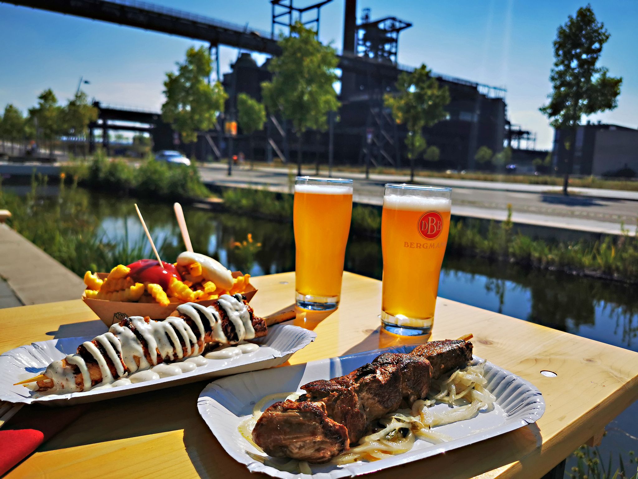
Long live the break – bike tours with beer gardens & culinary delights
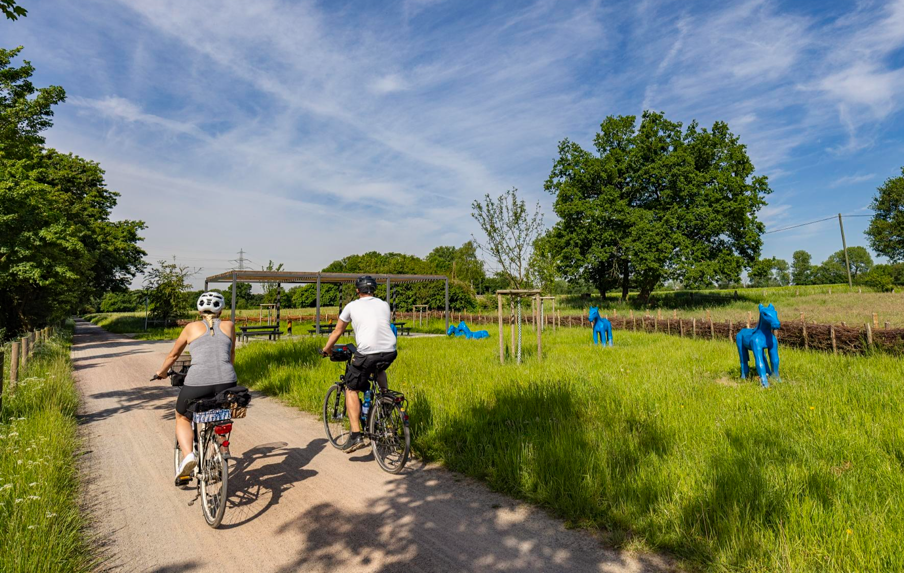
Healthy cycling on Germany’s Emscher River
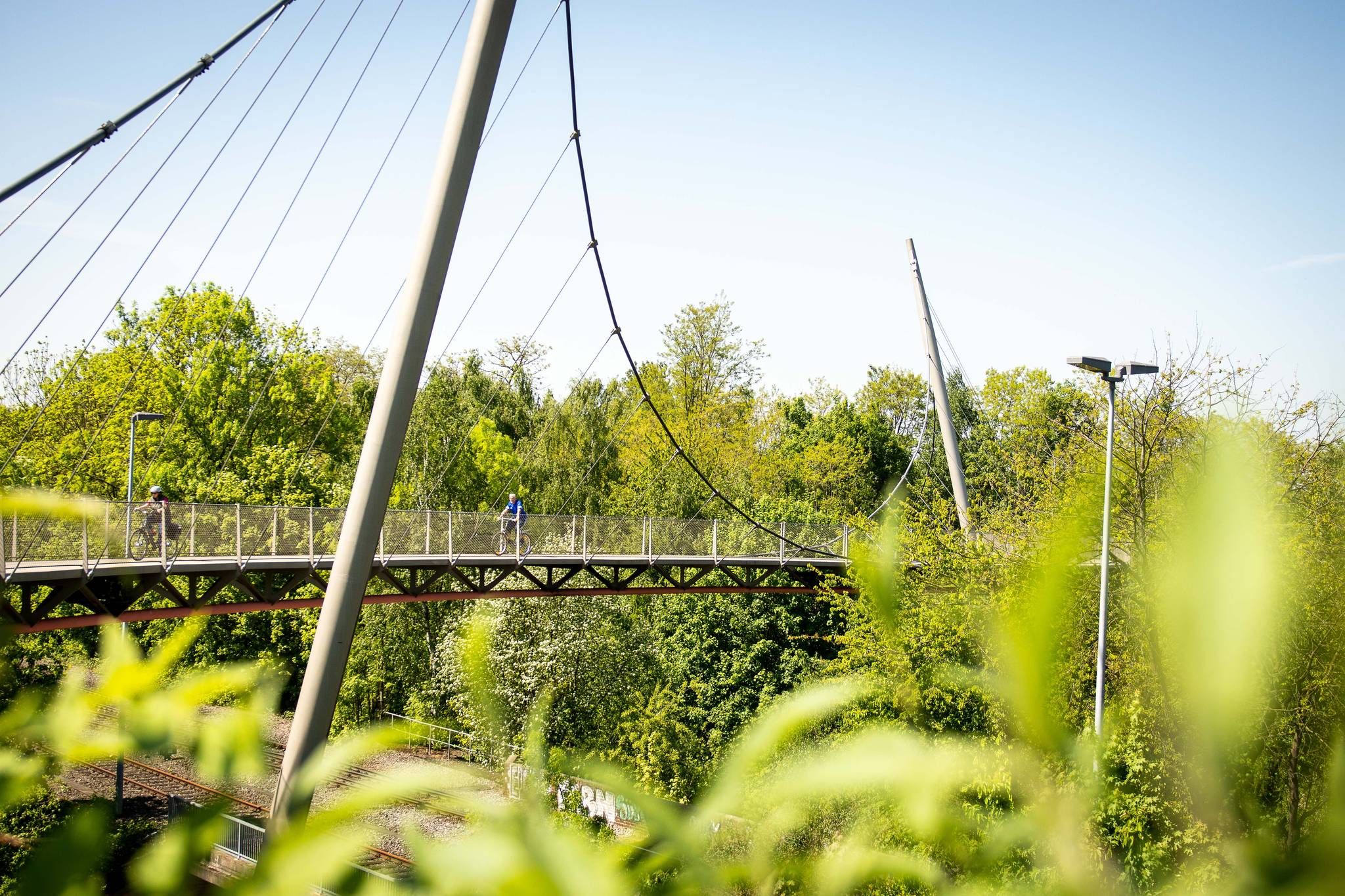
The most beautiful railway cycle paths in the Ruhr area (north/northeast)
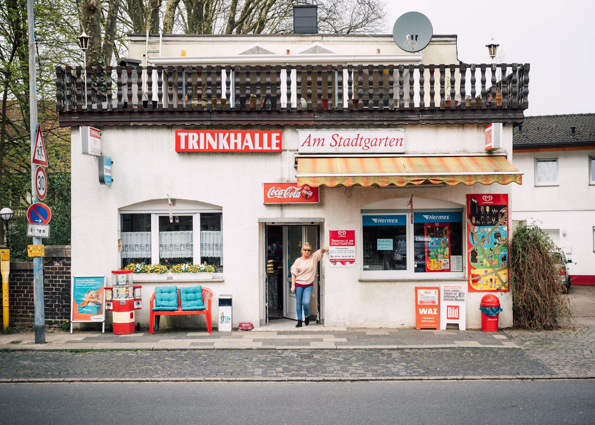
Tour de Trinkhalle: The 19 most iconic kiosks in the Ruhr area

Mit Rosbacher auf Tour im Ruhrgebiet
ヘルネでのサイクリング
ヘルネでのハイキング
ヘルネのロードバイクルート
ヘルネのランニングコース
ヘルネのMTBトレイル
ヘルネでのの他の冒険


コミュニティからのヒント

2001年、150年以上の操業を経て、炭鉱ゼッケ・エヴァルト(Zeche Ewald)は閉鎖されました。現在では、レジャー、文化、旧車文化(モーターワールド)、イベントの場となっています。かつての2つの巻上げ塔は、産業の過去を物語っています。ホーエヴァルト(Hoheward)の廃棄物山からは、2つの巻上げ塔の絵になるような眺めが楽しめます。
0
0

"About 40 meters above the Ruhr River, the historic Steele City Garden invites visitors to stroll and relax on its 4.2 hectares – and, of course, to enjoy the view of the Ruhr Valley. On the opposite bank of the river lies the Überruhr-Hinsel district with its 'House Under the Rainbow,' a facility for assisted living on the Gewalterberg hill. Downstream, the Spillenburg weir can be seen. In this 204-hectare drinking water catchment area, 50 million cubic meters of water are extracted annually. The light blue swimming pool below the City Garden belongs to the Steele 11 swimming club, which has been welcoming swimmers and bathers here since 1911." https://www.essen.de/dasistessen/leben_im_gruenen_/aktiv_im_gruenen/essener_aussichten_.de.html
1
0

The ship's pier with restaurants in the immediate vicinity.
0
0

現在の植生では、ここからの眺めはあまり期待できません。 Essener Aussichten No. 15 FÜNFKIRCHENBLICK, GPS: 51.43758, 7.05881, は、ここから約550m南西の同名の道沿いにあります (.https://www.komoot.com/de-de/highlight/2917039 .).
0
0

A wonderful route during the week, especially in the morning or at sunset. You should avoid weekends, especially when the weather is nice. The trails are crowded then.
0
0
GPS: 51.44343, 7.06787 Steeler Stadtgarten Schnütgenstraße, Steele Around 40 meters above the Ruhr River, the historic Steele Stadtgarten (Steeler City Garden) invites you to stroll and relax on 4.2 hectares of land – and, of course, to enjoy the view of the Ruhr Valley. On the opposite side of the river is the Überruhr-Hinsel district with its Haus unterm Regenbogen (Rainbow House), an assisted living facility on the Gewalterberg hill. Downstream, you can see the Spillenburg Weir. 50 million cubic meters of water are extracted annually from the 204-hectare drinking water area. The light blue swimming pool below the Stadtgarten belongs to the Steele 11 swimming club, which has been inviting people to swim and bathe here since 1911. https://www.essen.de/dasistessen/leben_im_gruenen_/aktiv_im_gruenen/essener_aussichten_.de.html
0
0

From here you have a great view of the mine.
3
0

Dusk is falling as I cross the Ruhr on the Konrad Adenauer Bridge. The river is still carrying a fair amount of water, so it is questionable whether the path through the Holthauser Ruhraue is clear. It is not just the less tempting alternatives that lead me into the floodplain, the path is clear and I can enjoy the proximity to the river once again at blue hour. And then I treat myself to a break.
0
0
ヘルネでのの人気観光スポット

komootモバイルアプリでインスピレーションを得よう


さらに探索
他の地域の最高の登山ハイキング & ルートを見てみましょう。
