オーランド諸島周辺のアトラクション&必見スポット - トップ20
オーランド諸島には必見のスポットがたくさんあります。ハイキング愛好家やサイクリング愛好家の方は、ぜひオーランド諸島を探索してこのエリアにある20
の隠れたスポットを訪れてみてください。このエリアの必見スポットを確認し、次の冒険に出かける計画を立てましょう。
最終更新日: 10月 23, 2026
カステルホルム城
ハイライト • 城
翻訳者 Google •
役立つ情報 は

マリエハムンのエスプラナーデ
ハイライト • 展望台
翻訳者 Google •
役立つ情報 は

今すぐサインアップして、こんな場所を発見しよう
最高のシングルトラック、ピーク、その他のエキサイティングなアウトドアスポットのおすすめを受け取ろう。
Järsöネイチャートレイル
ハイライト • トレイル
White Trail:
The white trail starts and ends at the same spot and leads around …
翻訳者 Google •
役立つ情報 は
クムリンゲ フェリーターミナル
ハイライト • 休憩所
Kumlinge-Marienham
- From the northern port of Kumlingen take the ferry m/s Alfågeln (Northern Line) to Hummelvik port in Vårdö municipality, the journey takes 1 hour …
翻訳者 Google •
役立つ情報 は
ケーカー フェリーターミナル
ハイライト • 休憩所
翻訳者 Google •
役立つ情報 は
プッテス・キャンプ場
ハイライト • 休憩所
役立つ情報 は

スネッコ フェリーターミナル
ハイライト • 休憩所
翻訳者 Google •
役立つ情報 は
船首
ハイライト • 自然記念物
これは、オーランドのラパキビ花崗岩が直線的なブロックに割れる傾向があるためである。このような石は1996年2月にここに引きずられた。
ここの崖にある巨大なアーチは、1823年に記されたポール・メーン氏の理論によれば、こうなっている。
その後1月には、「この地域で強い地震が記録された」。地滑りが、前世紀の出版物に言及されている地面の振動を引き起こした可能性は十分に考えられる。
メーン氏はアーチの重さを1,070,000kgまでと見積もった。高さは11メートル、基部の幅は7.5メートルである。
この岩のユニークな形状は、少なくとも一人の建築家にインスピレーションを与えた。
パリのラ・デファンスには、全く同じ比率の超高層ビルがある。
したがって、もしあなたがメジャーと鉛筆を持った誰かがここにうろついているのを見かけたら、それはおそらくフランスの建築家だろう。
翻訳を表示中
役立つ情報 は

Orrdalsklint山頂と展望塔
ハイライト • 山頂
翻訳者 Google •
役立つ情報 は

トルスホルマ フェリーターミナル
ハイライト • 休憩所
北線はフィンランド本土のGustavsからオーランドのOsnäs、Vardö、Hummelvikまで運行しています。このフェリーは、Torsholma/Brandö、Lappo、Kumlinge、Enklingeの中間港に寄港します。
aland.travel/norra-linjen-fi
翻訳を表示中
役立つ情報 は
無料でサインアップして、さらに多くの観光スポットを発見しましょう オーランド諸島での。
すでにアカウントをお持ちですか?
無料アカウントで今日から始めよう
次の冒険が待っています。

コミュニティからのヒント


小さな避難所にはテーブルと電気充電設備があります。公衆トイレが利用可能です。夏の間、小さなキオスクではアイスクリーム、軽食、飲み物を提供しています。フェリーが出港する前に開きます。
0
0

ここに散らばっている岩は15,000年前に氷床によって運ばれた。しかし、それらはそれほど遠くまで行かなかった。その多くは、かつてそこから剥がれ落ちた崖から20メートル以上離れることはなかった。 これは、オーランドのラパキビ花崗岩が直線的なブロックに割れる傾向があるためである。このような石は1996年2月にここに引きずられた。 ここの崖にある巨大なアーチは、1823年に記されたポール・メーン氏の理論によれば、こうなっている。 その後1月には、「この地域で強い地震が記録された」。地滑りが、前世紀の出版物に言及されている地面の振動を引き起こした可能性は十分に考えられる。 メーン氏はアーチの重さを1,070,000kgまでと見積もった。高さは11メートル、基部の幅は7.5メートルである。 この岩のユニークな形状は、少なくとも一人の建築家にインスピレーションを与えた。 パリのラ・デファンスには、全く同じ比率の超高層ビルがある。 したがって、もしあなたがメジャーと鉛筆を持った誰かがここにうろついているのを見かけたら、それはおそらくフランスの建築家だろう。
2
0

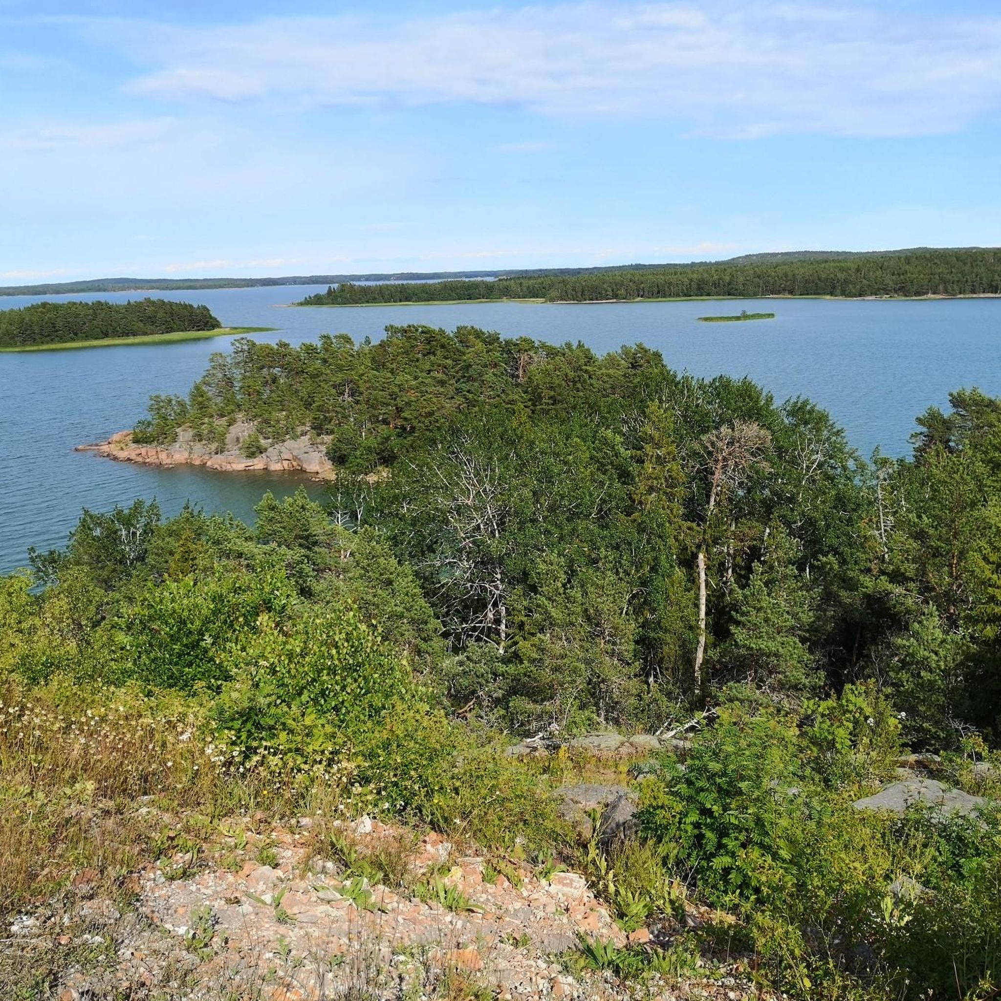
Highly recommended, also suitable for children, very well signposted, fantastic views of the archipelago, the ice did a great job!
0
0

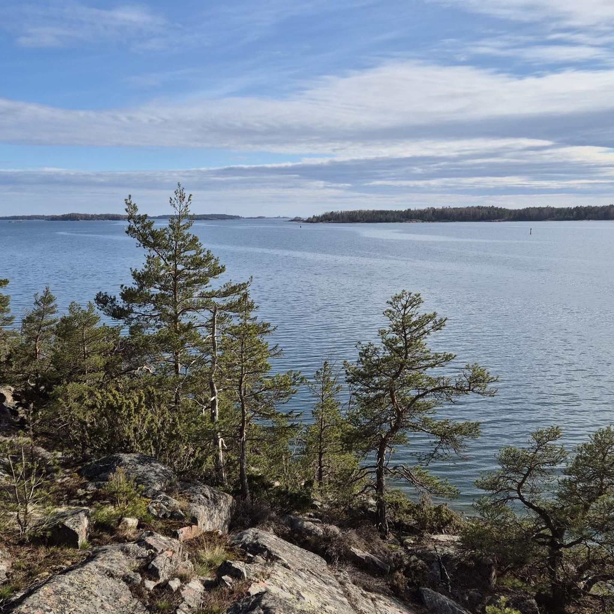
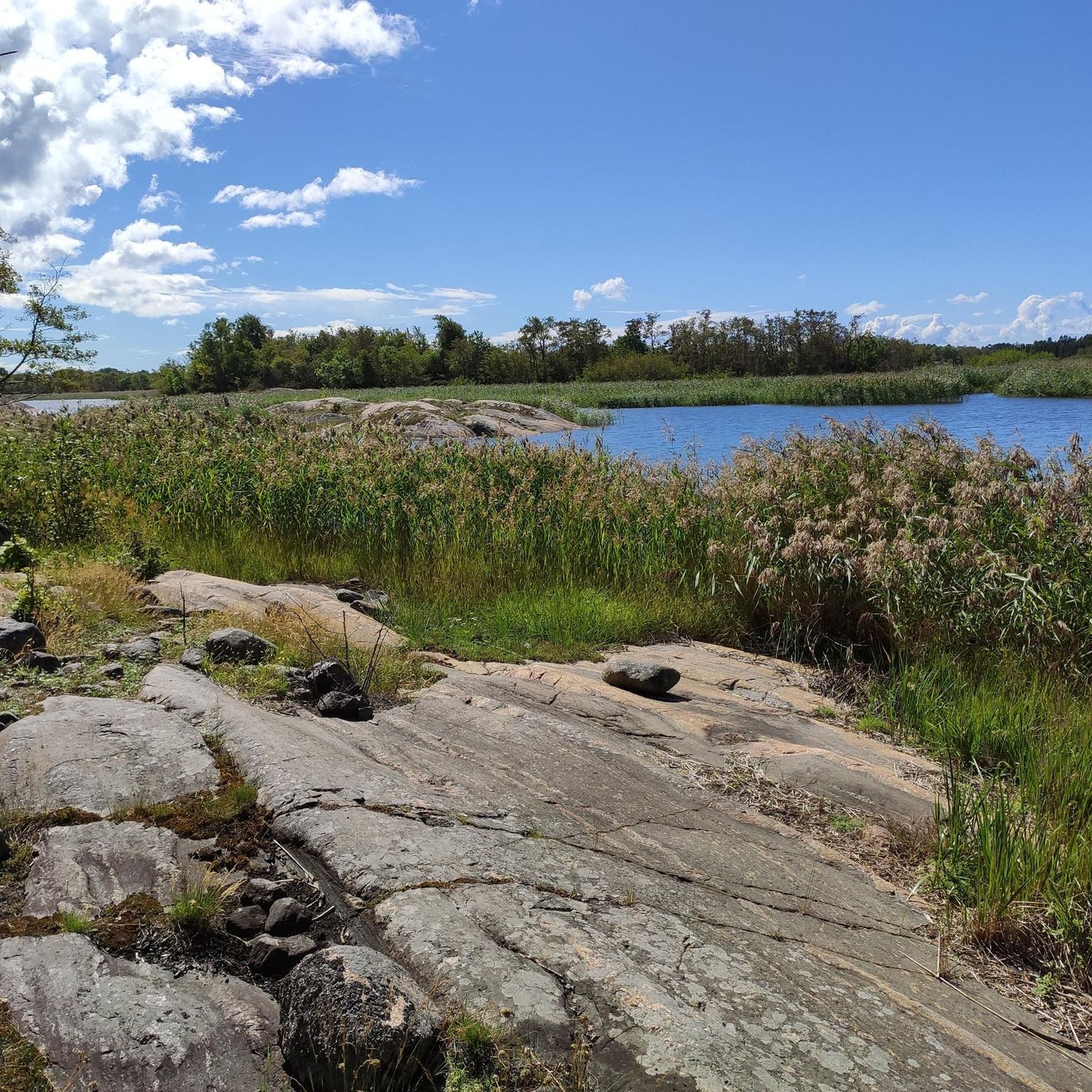
Beautiful nature trail with forest, meadows, stones and sea view.
0
0
The Esplanade of Mariehamn is an avenue of linden trees that connects the western and eastern harbors, a green oasis in the middle of Mariehamn. In addition to the main church, several wooden houses along the avenue are worth seeing.
0
0
Our camping ground is situated among the fortress ruins of Bomarsund. In 1854, the allied French and British armies attacked the Russian troops that had built an enormous fortress here. Now you are welcome to our camping ground establishment at the islands of peace. You can easily access us by car, bus, bicycle or boat. The ride from Mariehamn is about half an hour. The sea is right here and our guest harbour in Notviken has 30 boat places. CAMPING AND CABINS A pretty big, quiet, rather cheap but somewhot worne down camping ground. The camping grounds are laid out across 5 hectares, which makes it suitable also for large groups. A beach sauna and a barbecue place are available. In the area 3 cottages (30 m2) for 4-6 persons are available. These are equipped with shower and a kitchen. You may also choose to stay in one of the overnight cabins. RESTAURANT AND CAFÉ close by Café Furulundsgården is our fully licensed Restaurant. Newly built but in an old fashion and with a large outdoor seat place. When you enjoy a cup of coffee in the café, please try the speciality; Åland pancake. ACTIVITIES Swim and relax at the beach, just 10 meters away. Play minigolf or stroll around the ruins. Bikes and boats can be rented. The hiking paths are 5 km’s and 1 km’s. https://www.alandsresor.fi/en/puttes-camping Contact information +358 18 44 040 puttes.camping@aland.net Bryggvägen 2, Bomarsund - 22530 - Sund
1
0
Snackö is the southern ferry port and access to Kumlinge. From the southern port of Kumlingen (Snäckö) take the ferry m/s Ejdern 1-2 times a day to the port of Långnäs in the municipality of Lumparland. The trip takes 1 hour and 45 minutes. There is a fee. Mariehamn is then about 30 minutes by car from Långnäs. You can also take the bus. Note: Some ferry connections only run between Snäckö-Överö (Föglö), from where you have to drive 17 km to the port of Degerby and from there take the ferry m/s Skarven to the main island of Åland. The ferry to Seglinge also leaves from here, duration 7 minutes. It runs as needed, there are certain breaks in the timetable. Tip: Worthwhile excursion destinations in Kumlinge are the Kumlinge church with medieval wall paintings, the local pharmacy and the Hermas farm in Enklinge. If you are looking for an exciting archipelago adventure, you should rent a tour boat with a guide. Otherwise, you can enjoy the view from the old Bärö maritime surveillance station, take the cable ferry to Seglinge or continue your archipelago trip from Snäckö towards the south. https://saaristolautat.fi/
0
0
オーランド諸島でのの人気観光スポット

komootモバイルアプリでインスピレーションを得よう


探していたものは見つかりませんでしたか?
近くの素晴らしい場所をもっと探索したいですか?ガイドを見てみましょう:
さらに探索
まだ探しているハイライトが見つかりませんか?他の地域のトップアトラクションのガイドを見てみましょう:
