ムホスのおすすめウォーキング&ハイキングルート
4.7
(103)
711
ハイカー
36
ハイキング
ムホス周辺でのハイキングは、景色を満喫するのに最適な手段のひとつですが、適切なハイキングルートを見つけることは簡単ではありません。 ムホス周辺の人気ハイキング&ウォーキングコースを参考にすれば、行きたいルートをすぐに見つけられます。
最終更新日: 8月 30, 2026
4.5
(13)
46
ハイカー
20.2km
05:23
220m
220m
難しいハイキング. 標準以上のフィットネスレベルが必要です。 進みやすいルートです。あらゆるスキルレベルに適しています。
4.8
(5)
40
ハイカー
4.24km
01:07
40m
40m
Hike the easy 2.6-mile Lemmenpolku Trail in Rokua Geopark, enjoying river views and ancient geological formations.

無料新規登録
4.8
(4)
34
ハイカー
2.80km
00:45
30m
30m
中程度のハイキング. あらゆるフィットネスレベルに適しています。 全般的に進みやすいルートです。安定して歩行できる技術が必要です。
4.9
(10)
57
ハイカー
7.35km
02:00
110m
110m
中程度のハイキング. ある程度のフィットネスレベルが必要です。 進みやすいルートです。あらゆるスキルレベルに適しています。
4.7
(12)
36
ハイカー
10.6km
02:54
160m
160m
中程度のハイキング. ある程度のフィットネスレベルが必要です。 進みやすいルートです。あらゆるスキルレベルに適しています。
さらに多くのルートや他のユーザーのおすすめ情報を確認できます。
無料新規登録
すでにアカウントをお持ちですか?
おすすめのツアーは他のkomootユーザーが実際に経験した何千ものアクティビティに基づいています。
無料アカウントで今日から始めよう
次の冒険が待っています。
ログインまたは登録
コミュニティからのヒント


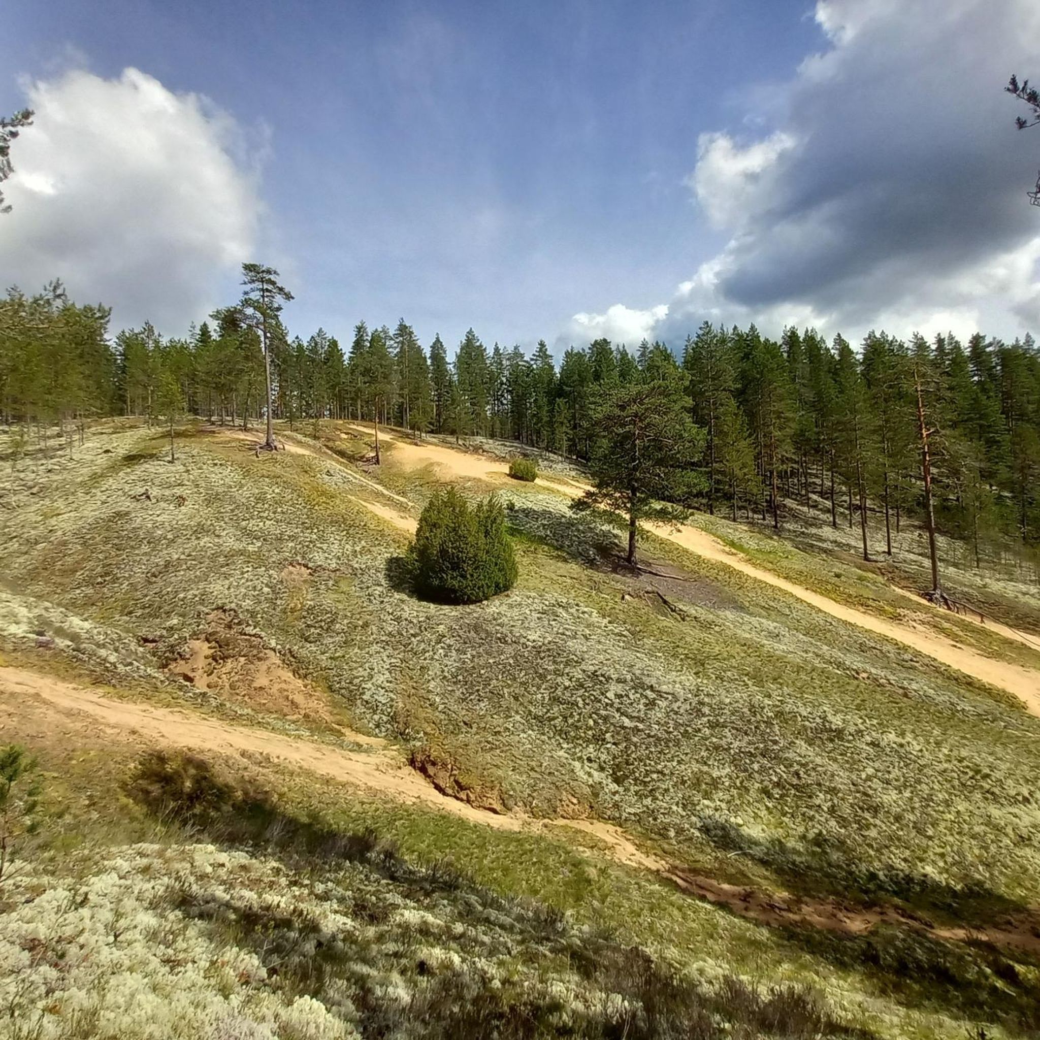
Pookivaara is a scenic hill in the Rokua Geopark, offering sweeping views over forests and eskers shaped by the Ice Age. At its summit stands a wooden fire watchtower, a sentinel of the wild, used in summer by fire wardens who scan the horizon for signs of smoke or wildfire.
0
0
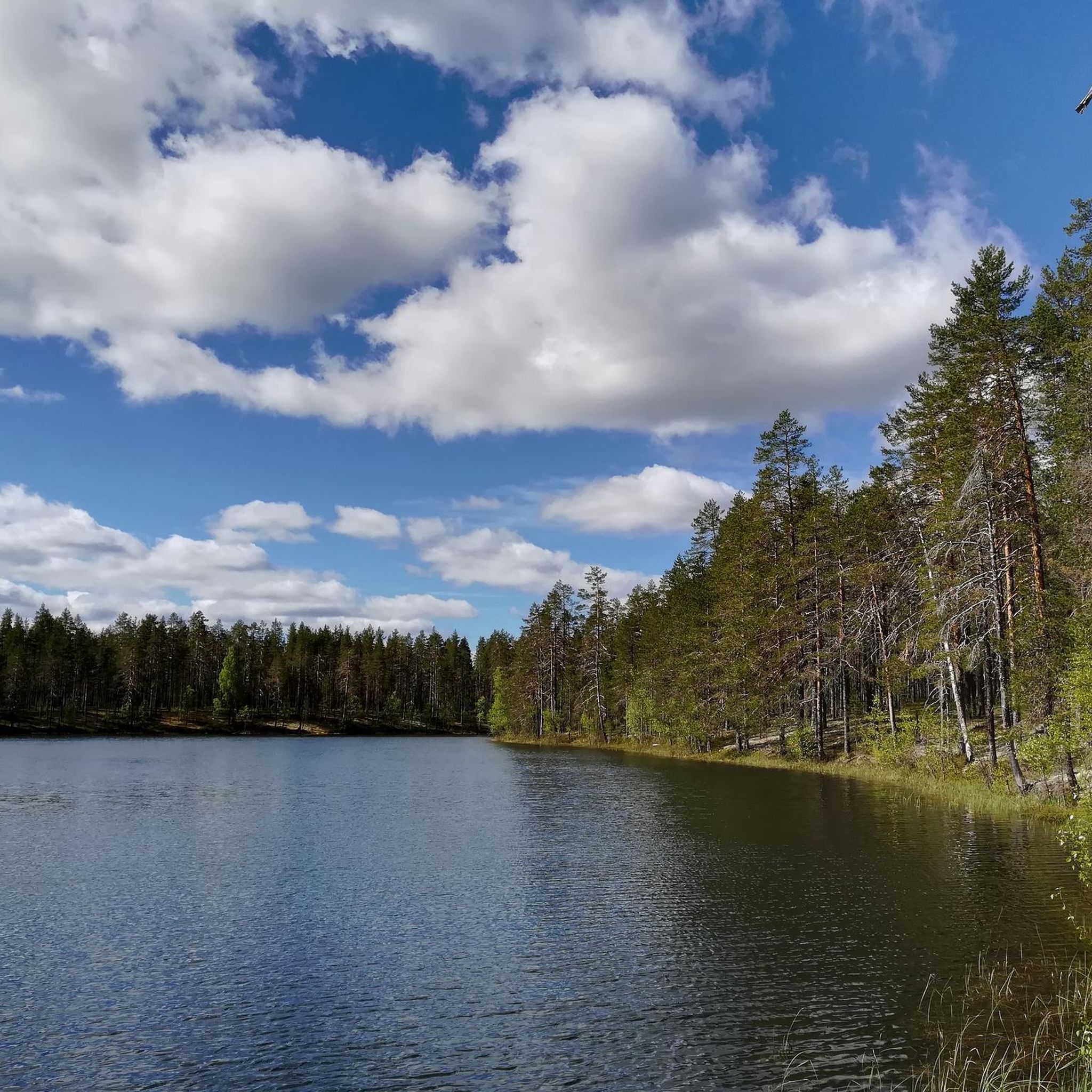
Pitkäjärvi is a serene stretch of water nestled in the Finnish landscape, surrounded by dense pine and birch forests. Its calm surface mirrors the sky, offering a perfect escape for nature lovers seeking quiet. Close to this point, you can also find a small shelter to enjoy Finland’s wilderness.
0
0

Small, practical barbecue area for a picnic in between.
0
0
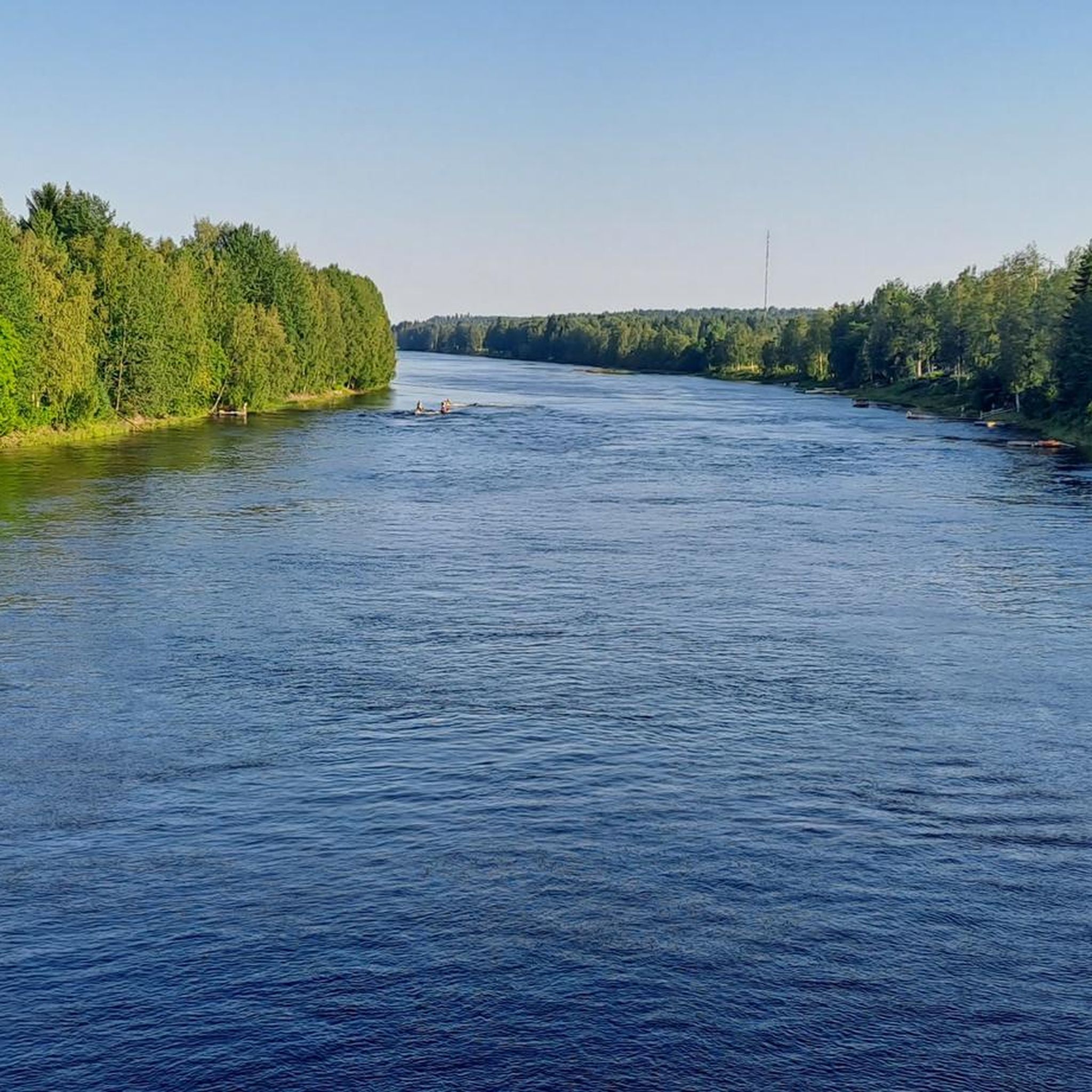
Stunning view of the Oulujoki River and the majestic Pyhäkoski power plant from the viewpoint on the iconic Lemmenpolku hiking trail. The nearly two-billion-year-old red granite cliff offers breathtaking panoramas. Informative signs along the trail reveal the geological and cultural history of the region.
0
0
This unique environment showcases clear traces of the Ice Age with hills, esker ridges, and mystical moors. Parts of the marshland are equipped with wooden pathways that allow for safe hiking while offering fascinating insights into the untouched nature. Particularly recommended is the route along picturesque lakes, lined with shimmering lichens and ancient pine forests – a rare combination that makes the park so special.
0
0

A lake that can mirror the sky, as there were two. Enjoy the area near the lake as it feels very untouched. Lichens looking like corals were my personal highlight.
1
0

The fire watchtower is the seat of the fire watchmen in summer. During the day they watch the forest from above and look out for smoke or other signs of fire. The tower is not open to the public.
2
0
ムホスでのの人気観光スポット

komootモバイルアプリでインスピレーションを得よう


さらに探索
他の地域の最高のハイキングを見てみましょう。
