ツオウのおすすめライド
4.3
(176)
14,543
ライダー
30
ライド
ツオウ周辺のロードバイクルートをお探しですか?ここでは、komootが提供するツオウでのロードバイクライドのコレクション全体を評価して選び抜いた人気ルートをご紹介します。各ライドの詳細をぜひご覧ください。
最終更新日: 9月 29, 2026
4.7
(7)
1,157
ライダー
25.5km
01:00
90m
90m
初級者向けロードバイクライド. あらゆるフィットネスレベルに適しています。 全般的に舗装状態が良好で走行しやすい道です。
4.7
(39)
4,054
ライダー
132km
06:29
1,980m
1,980m
難しいロードライド. 標準以上のフィットネスレベルが必要です。 全般的に舗装状態が良好で走行しやすい道です。

5.0
(8)
572
ライダー
53.3km
02:45
900m
900m
難しいロードライド. 標準以上のフィットネスレベルが必要です。 全般的に舗装状態が良好で走行しやすい道です。
4.8
(8)
402
ライダー
98.2km
04:55
1,510m
1,510m
難しいロードライド. 標準以上のフィットネスレベルが必要です。 ツアーの一部に、未舗装のため走行が難しい箇所があるかもしれません。
1.0
(1)
359
ライダー
99.4km
05:51
2,500m
2,500m
難しいロードライド. 標準以上のフィットネスレベルが必要です。 全般的に舗装状態が良好で走行しやすい道です。
さらに多くのルートや他のユーザーのおすすめ情報を確認できます。
すでにアカウントをお持ちですか?
おすすめのツアーは他のkomootユーザーが実際に経験した何千ものアクティビティに基づいています。
無料アカウントで今日から始めよう
次の冒険が待っています。
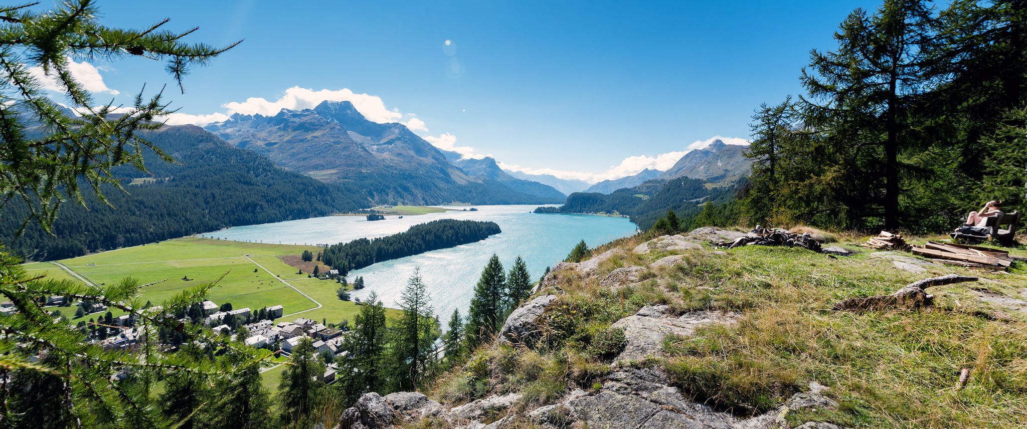
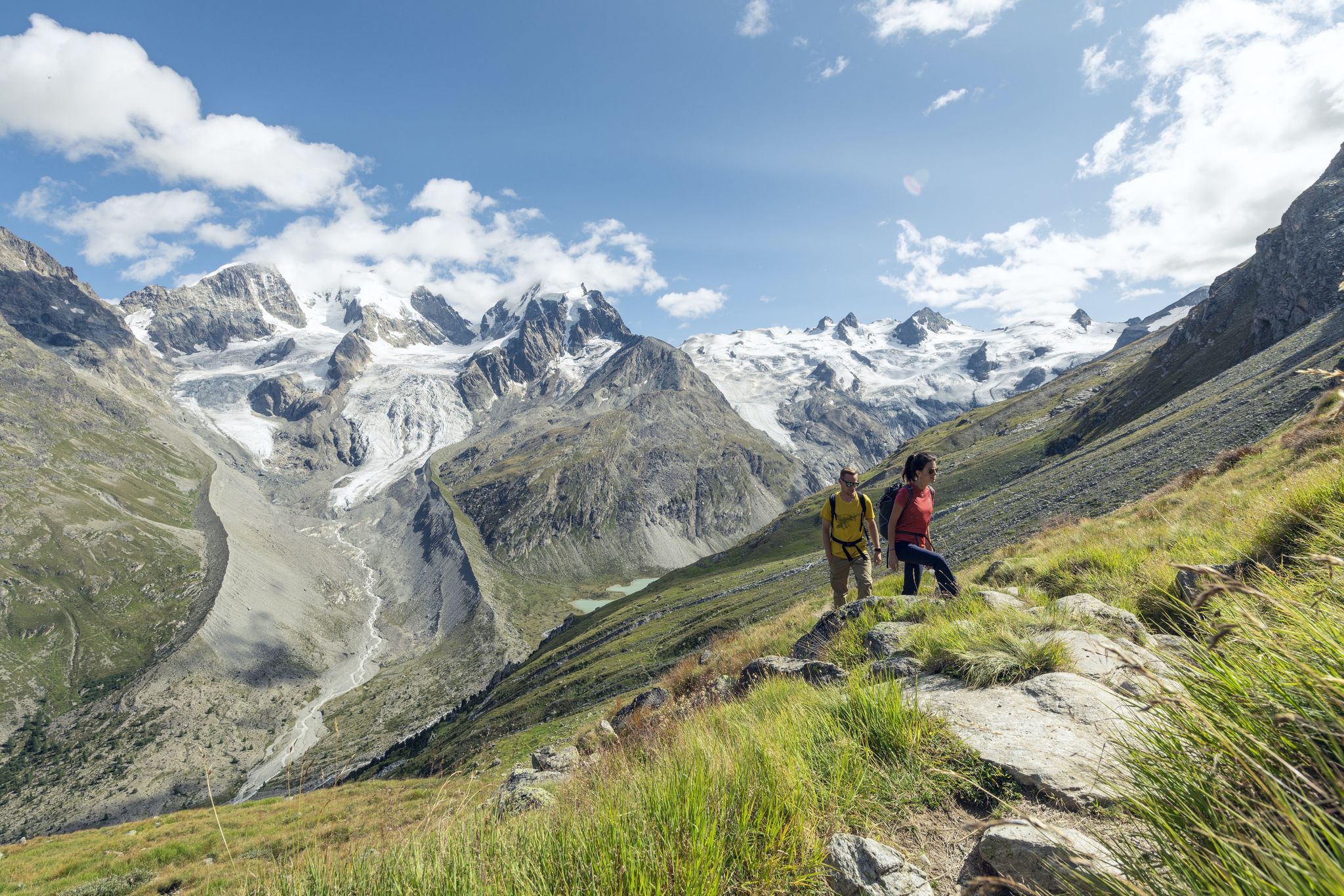
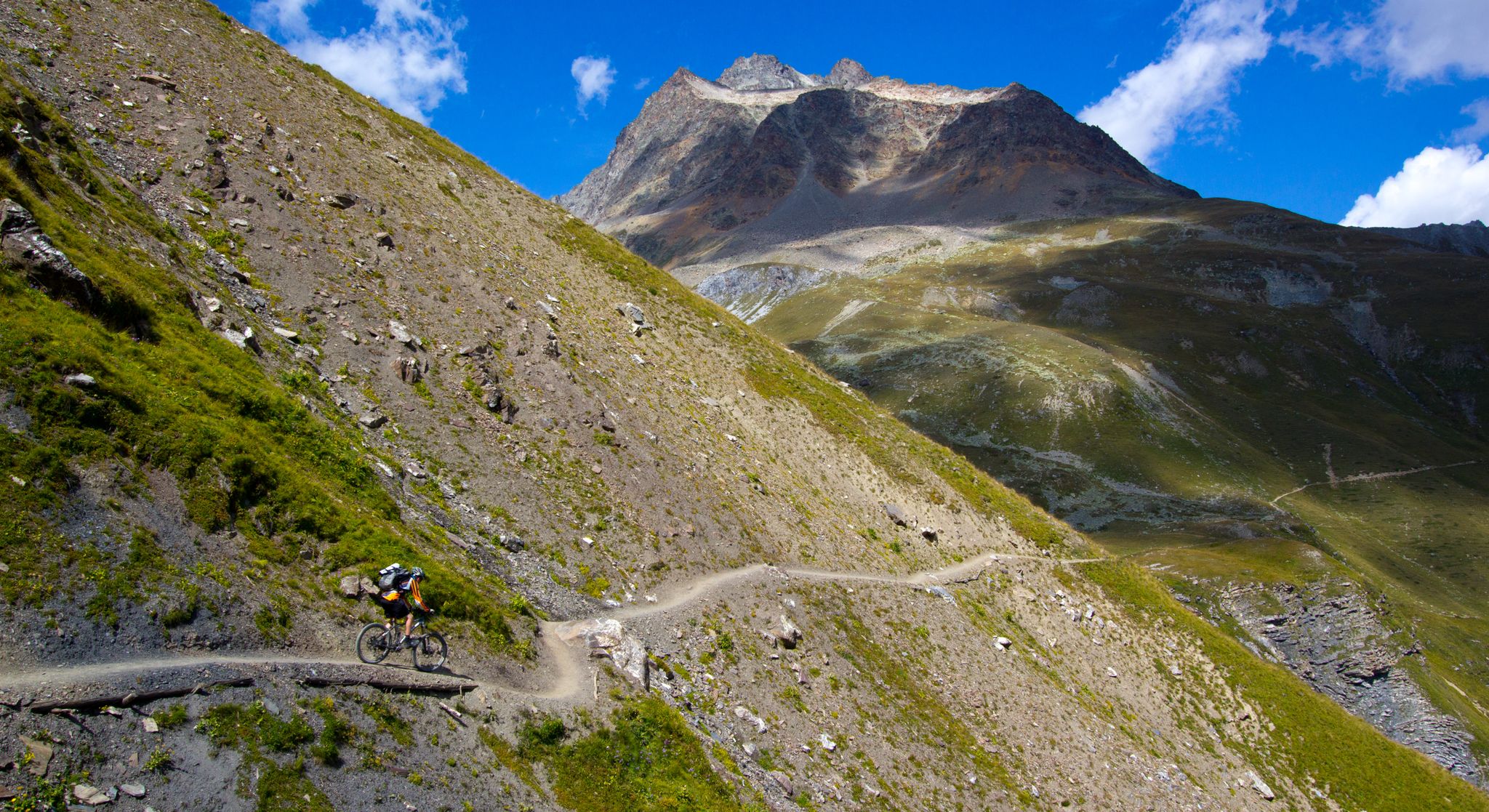
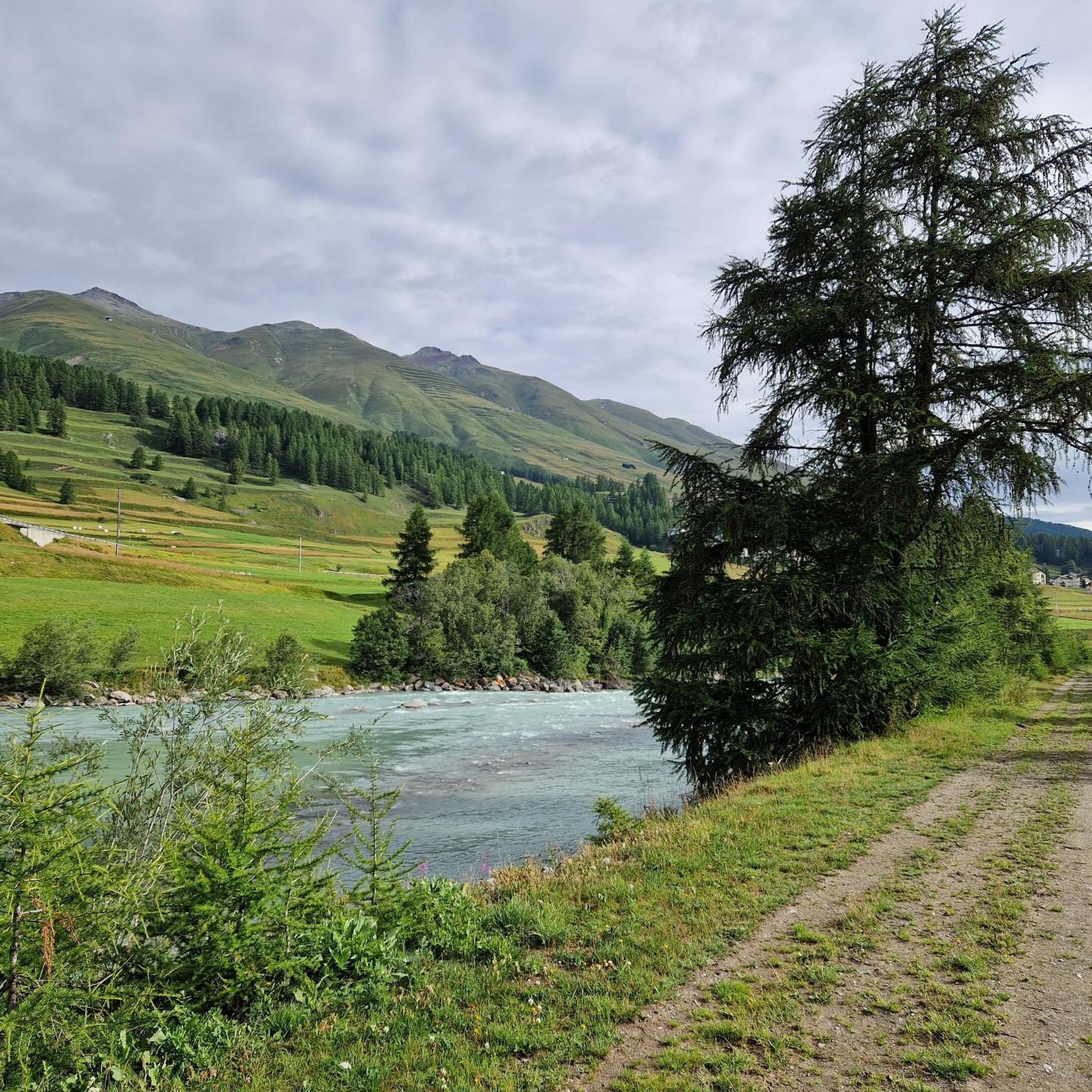
ツオウでのの他の冒険


コミュニティからのヒント

モルテラッチ氷河は、1857年(小氷期13/14世紀~19世紀)にその最大の広がりを見せ、RhBの停留所まで100mに達しましたが、それ以降は絶えず後退しています。しかし、2018年の樹木発見(C4 + 年輪年代学)によると、10400年前のカラマツの木は、最後の氷河期(更新世20000~14000年前)の後、完新世の初め(約10000年前)には、氷河は現在よりもさらに後退していたことを示しています。最小は7000年頃でした。その後、氷河は再び成長し、1857年に最大となりました。測定は1915年から始まり、それ以降は継続的に後退しています。(約20000年前にはベルニナ氷河やイン川氷河と繋がっており、約14000年前にはポントレジーナまで、1857年にはほぼRhbモルテラッチ停留所まで達していました。
0
0

モルテラッチ谷からもモンテベッロからも、氷河とベルニナ山塊の壮大な景色を楽しむことができます。
0
0


ラ・プントでの短い休憩は価値があります。これは主に、人目を引く白い家、チェーザ・メルレダによるものです。これはエンガディン建築の顕著な例です。
1
0

The story of St. Moritz begins in 1864 The story of St. Moritz, as we know it today, begins in 1864, when hotelier Johannes Badrutt made a bet with his guests from Great Britain. He promised that not only the summer, but also the St. Moritz winter would be so pleasant that on sunny days one could enjoy the sun on the terrace without a jacket. Should his promise prove false, the hotelier would pay for their travel and winter stay. Wrapped head to toe in furs, the group of men crossed the Julier Pass the following December. Upon arriving in St. Moritz, the sky was clear, the sun warm, and Badrutt stood before them to greet them without a jacket and with his shirtsleeves rolled up. Winter tourism was born. More: Pioneer History | St. Moritz, Switzerland (stmoritz.com) Text/Source: ENGADIN ST. MORITZ TOURISMUS AG Via Maistra 1, CH-7500 St. Moritz, www.stmoritz.com https://www.engadintourismus.ch/fileadmin/user_upload/Fakten_ueber_St._Moritz_DE.pdf
15
0
Morteratsch Glacier Trail 16 information points provide insights into the glacier's retreat and the mysterious life in its foreland. Where else can you admire, touch, and even walk on eternal ice after such a short hike? Just under 50 minutes from Morteratsch train station, you'll reach your destination: the milky glacial lake and the gigantic ice tongue. A literary treat awaits you on the LiteraTOUR. The captivating audio texts can be accessed individually via QR code at the 16 information points along the Morteratsch Glacier Trail. The stories include anecdotes, poems, and tour reports from various eras. Text / Source: Engadin Tourism AG, Via Maistra 1, 7500 St. Moritz https://www.engadin.ch/de/aktivitaeten/gletscherweg-morteratsch/
14
0
Morteratsch Glacier The Morteratsch Glacier is a historically significant glacier that has been systematically monitored since 1878. Over the last 150 years, the glacier has retreated by almost three kilometers, and its ice volume has decreased by two-thirds. The Bernina Railway, which began operating in 1908, was then located just a stone's throw from the glacier's terminus. Since then, the glacier has retreated considerably, and the movement of its surroundings is no longer visible. Text / Source: wikipedia.org https://de.wikipedia.org/wiki/Morteratschgletscher
14
0

excellent starting point for many bike rides with parking
0
0

komootモバイルアプリでインスピレーションを得よう


さらに探索
他の地域の最高のロードサイクリングルートを見てみましょう。
