シュテムスホルンのおすすめランニングルート
4.4
(187)
4,526
ランナー
184
ランニング
シュテムホルン周辺のジョギングルートは、シュテムヴェルダーベルクの緩やかな丘陵地帯と、デュマー自然公園の保護された低地という、多様な景観を巡ります。この地域は、森のトレイル、開けた野原、そして高低差のあるセクションを含む変化に富んだ地形が組み合わさっています。デュマー湖に近いことから、景色の良い平坦なルートも楽しめます。このエリアは、徒歩で探索するのに自然豊かな環境を提供します。
シュテムホルン周辺のベストジョギングルート
- 最も人気のあるジョギングルートは、レムフォルデ発のシュテムヴェルダーベルゲの眺め – シュテムヴェルダーベルク森林トレイルループ(View of the Stemweder Berge – Stemweder Berg Forest Trails loop from Lemförde)です。この24.0 kmのトレイルは、2時間39分で完了します。この難易度の高いルートは、広大な森林トレイルとシュテムヴェルダーベルゲの眺めが特徴です。
- 地元のランナーに人気のもう一つのルートは、レムフォルデ発のシュテムヴェルダーベルク森林トレイル – レムフォルデの眺めループ(Stemweder Berg Forest Trails – View of Lemförde loop from Lemförde)です。これは難易度の高い17.0 kmのコースです。このルートは、森林の小道とレムフォルデ方面への景色の良い眺めが楽しめます。
- 地元のランナーに愛されているもう一つのルートは、レムフォルデ発のランニングループ(Running loop from Lemförde)です。この5.6 kmのトレイルは、変化に富んだ地形を通り抜け、所要時間は約35分です。
- シュテムホルン周辺のジョギングは、木々に覆われた丘、開けた野原、そしてデュマー自然公園の多様な生態系によって特徴づけられます。このネットワークは、初級、中級、上級レベルのルートを提供し、様々な体力レベルに対応しています。
- シュテムホルンのルートは、komootコミュニティから高く評価されており、170件以上のレビューで平均4.3つ星を獲得しています。3500人以上のランナーがkomootを利用して、シュテムホルンの変化に富んだ地形を探索しています。
最終更新日: 10月 9, 2026
12
ランナー
17.0km
01:52
210m
210m
難しいジョギング. 標準以上のフィットネスレベルが必要です。 全般的に舗装された状態です。あらゆるスキルレベルに適しています。
4.6
(7)
8
ランナー
5.60km
00:35
20m
20m
中程度のジョギング. ある程度のフィットネスレベルが必要です。 全般的に舗装された状態です。あらゆるスキルレベルに適しています。

5.0
(1)
7
ランナー
6.98km
00:46
100m
100m
中程度のジョギング. ある程度のフィットネスレベルが必要です。 全般的に舗装された状態です。あらゆるスキルレベルに適しています。
9
ランナー
8.98km
00:59
130m
130m
中程度のジョギング. ある程度のフィットネスレベルが必要です。 全般的に舗装された状態です。あらゆるスキルレベルに適しています。
5.0
(1)
4
ランナー
9.04km
00:57
30m
30m
中程度のジョギング. ある程度のフィットネスレベルが必要です。 全般的に舗装された状態です。あらゆるスキルレベルに適しています。
さらに多くのルートや他のユーザーのおすすめ情報を確認できます。
すでにアカウントをお持ちですか?
おすすめのツアーは他のkomootユーザーが実際に経験した何千ものアクティビティに基づいています。
無料アカウントで今日から始めよう
次の冒険が待っています。
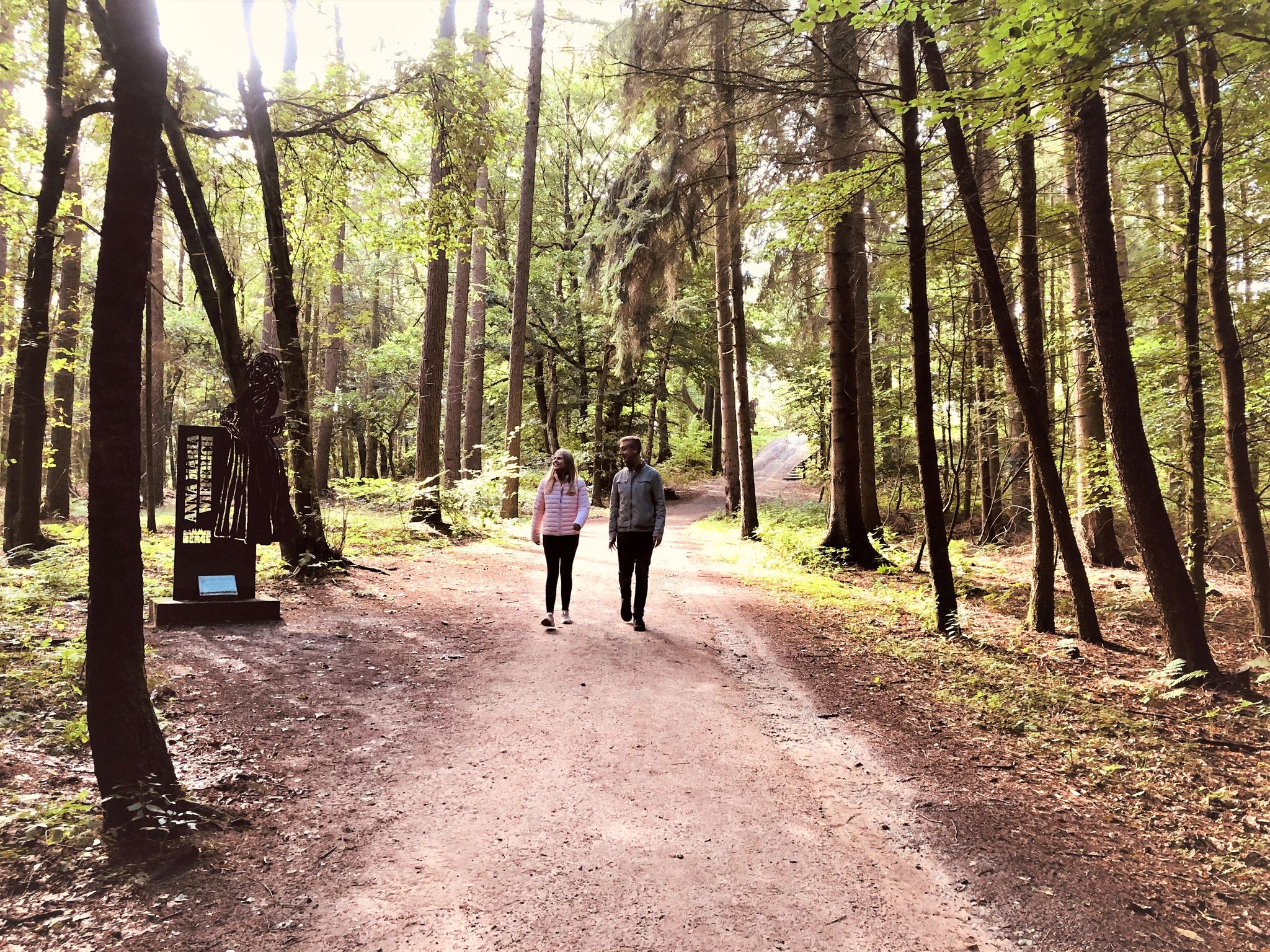
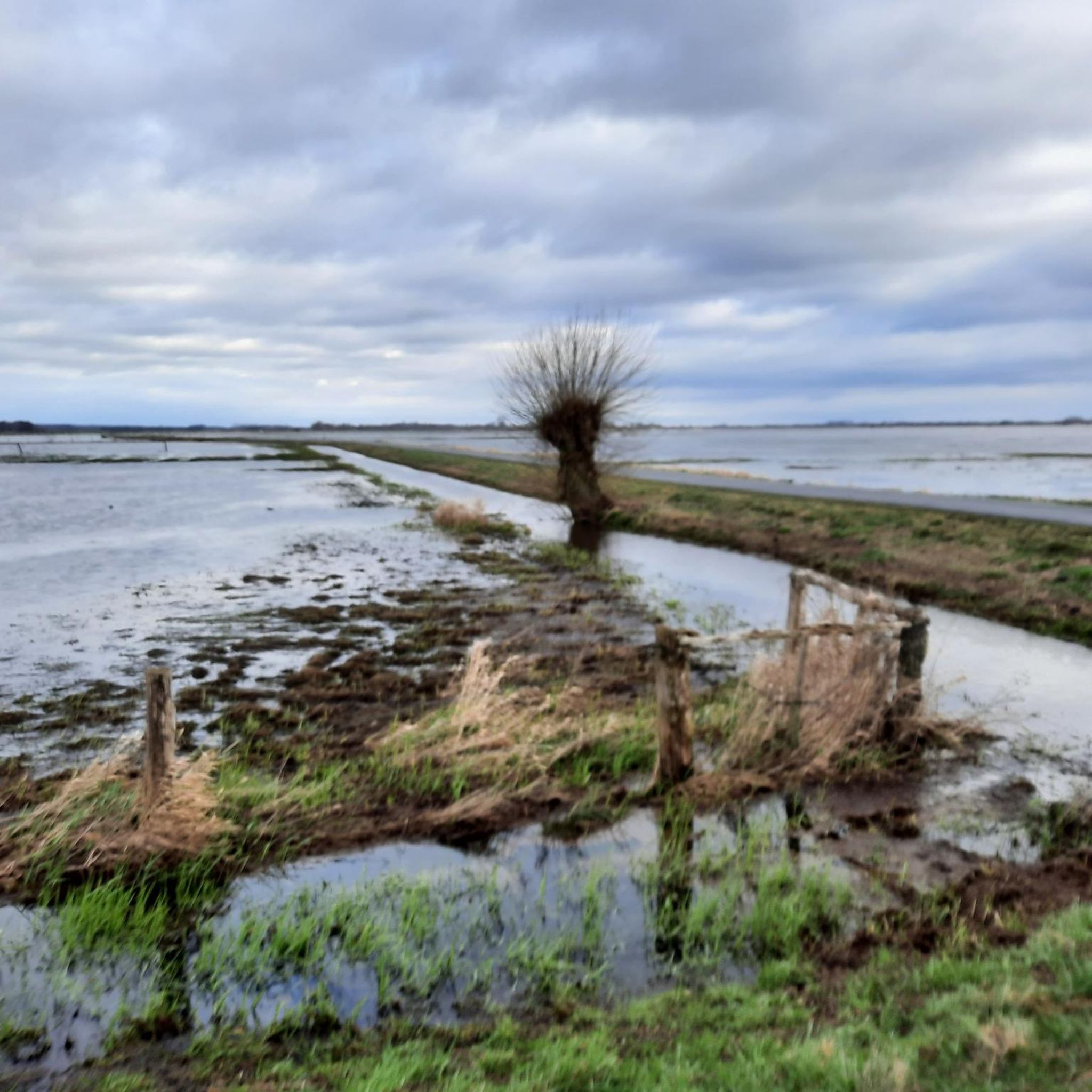
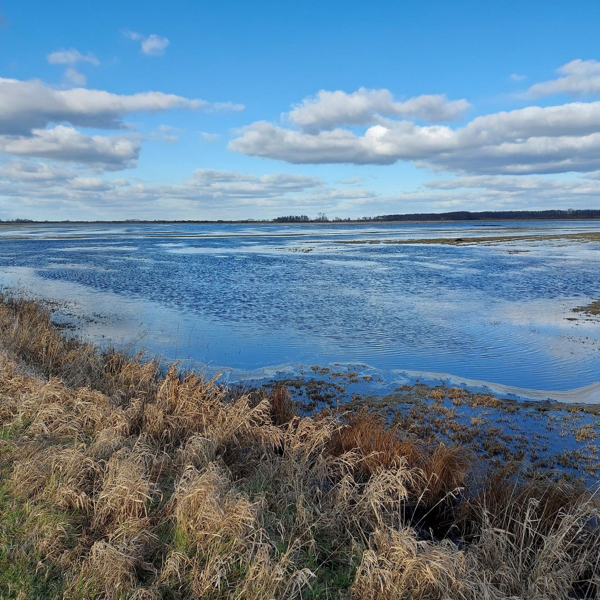

コミュニティからのヒント

Nice shelter. Here you can take refuge in bad weather or enjoy a relaxing break during your hike.
1
0

The Stemweder Berg is not only a popular destination for day trips, but also a place of historical significance. The Peace of Westphalia in 1648 resulted in the southern part of the Stemweder Berg becoming part of Brandenburg (Prussia). This historical change is an important part of the region's history and is documented by various historical boundary stones along the edge of the hill. These stones bear witness to the region's eventful history and offer insights into the evolution of borders and the political changes in the area.
0
0

A very beautiful view into the distance
0
0

Boundary stone with two benches. In winter, this is the toboggan run.
0
0
In Lembruch there are many beautiful thatched roof houses 🥰
0
0

The tour is very beautiful and has a surprising amount of “mountain flair”. But: You should definitely do the tour on a mountain bike! Especially since various tree trunks prevent you from getting through without any problems.
0
0

The burial mound has changed significantly in the last three years. There is now a wooden fence to protect the mound and a small path to walk around it. An information panel has also been installed, where visitors can access interesting information in both High German and Low German via a QR code.
0
0
The Stemweder Mountains are a popular destination for hikers and nature lovers. 15 marked circular hiking trails (between one and eleven kilometers long) are accessible from various parking spaces. Explore the diversity of nature on your own with the “Stemweder Mountains Nature Experience Map” or let the “Stemweder Herb Woman” introduce you to the amazing world of wild herbs and wild orchids.
0
0
シュテムスホルンでのの人気観光スポット

komootモバイルアプリでインスピレーションを得よう


さらに探索
他の地域の最高のランニングトレイル & ルートを見てみましょう。
