ダイスターのおすすめ登山&山歩きルート
5.0
(4)
14
ハイカー
3
ハイキング
ハノーバーの山々をもっと探索しませんか?このガイドでご紹介するのは、komootがダイスターでの登山&山歩きのコレクション全体を評価して選び抜いた、このエリアの人気ルートです。あなたに合ったルートを見つけるには、他のユーザーがアップロードした役立つ情報や写真を閲覧し、クリック操作で簡単に表示できる詳細なデータを参考にしましょう。ダイスターでの次の冒険にぴったりの登山&山歩きルートが見つかるはずです。
最終更新日: 10月 10, 2026
5.0
(3)
7
ハイカー
10.8km
03:07
280m
280m
中程度の登山ルート. ある程度のフィットネスレベルが必要です。 進みやすいルートです。あらゆるスキルレベルに適しています。
3
ハイカー
3.86km
01:19
180m
180m
中程度の登山ルート. あらゆるフィットネスレベルに適しています。 全般的に進みやすいルートです。安定して歩行できる技術が必要です。

2
ハイカー
9.72km
02:53
300m
300m
中程度の登山ルート. ある程度のフィットネスレベルが必要です。 進みやすいルートです。あらゆるスキルレベルに適しています。
5.0
(1)
1
ハイカー
16.1km
04:52
500m
500m
中程度の登山ルート. ある程度のフィットネスレベルが必要です。 進みやすいルートです。あらゆるスキルレベルに適しています。
1
ハイカー
8.27km
02:24
220m
220m
中程度の登山ルート. ある程度のフィットネスレベルが必要です。 進みやすいルートです。あらゆるスキルレベルに適しています。
おすすめのツアーは他のkomootユーザーが実際に経験した何千ものアクティビティに基づいています。
無料アカウントで今日から始めよう
次の冒険が待っています。
ダイスター周辺で人気

Hanover trails – hiking between Steinhuder Meer and Deister
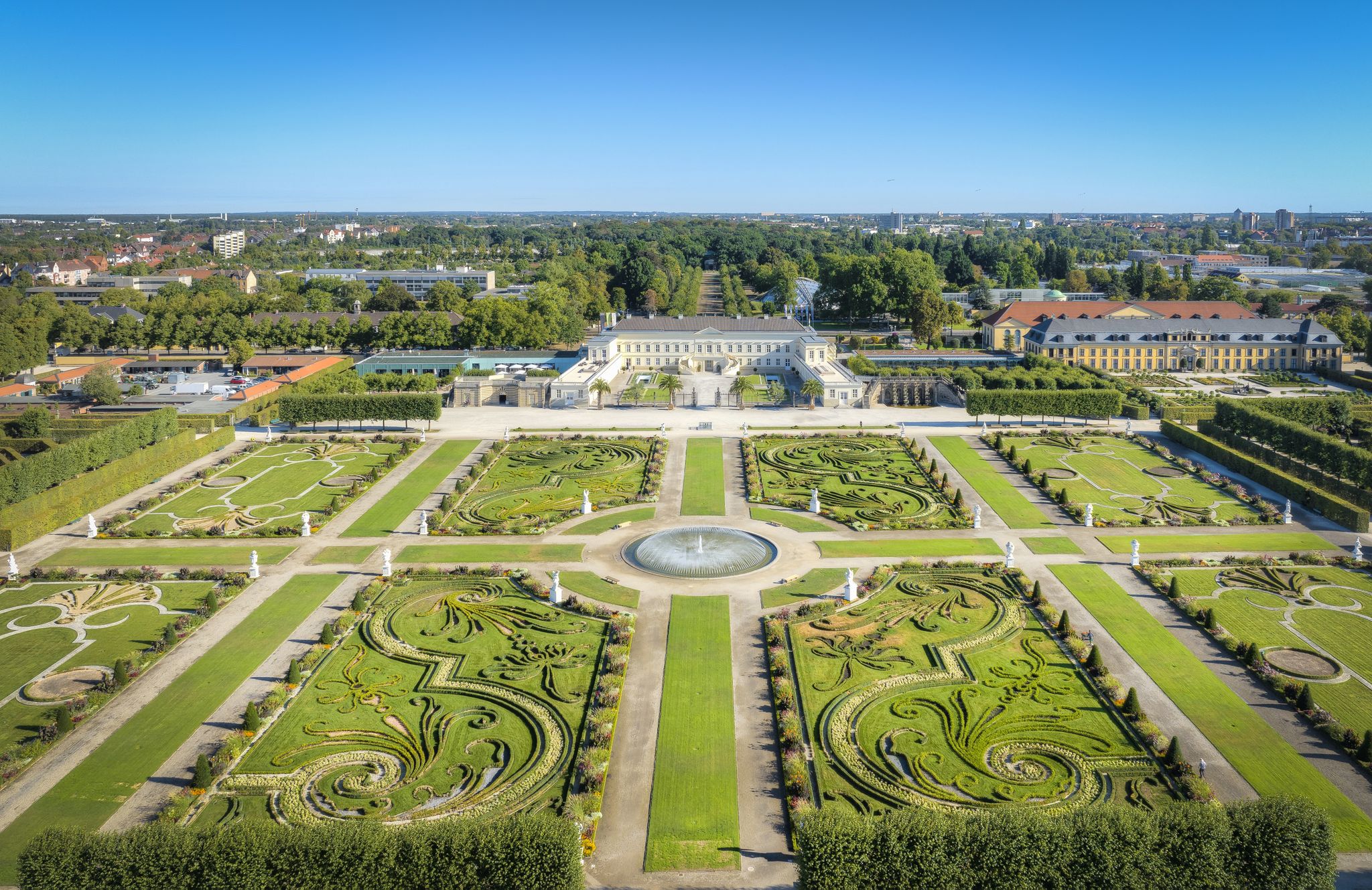
Hannover holiday region – varied cycling experiences in culture and nature
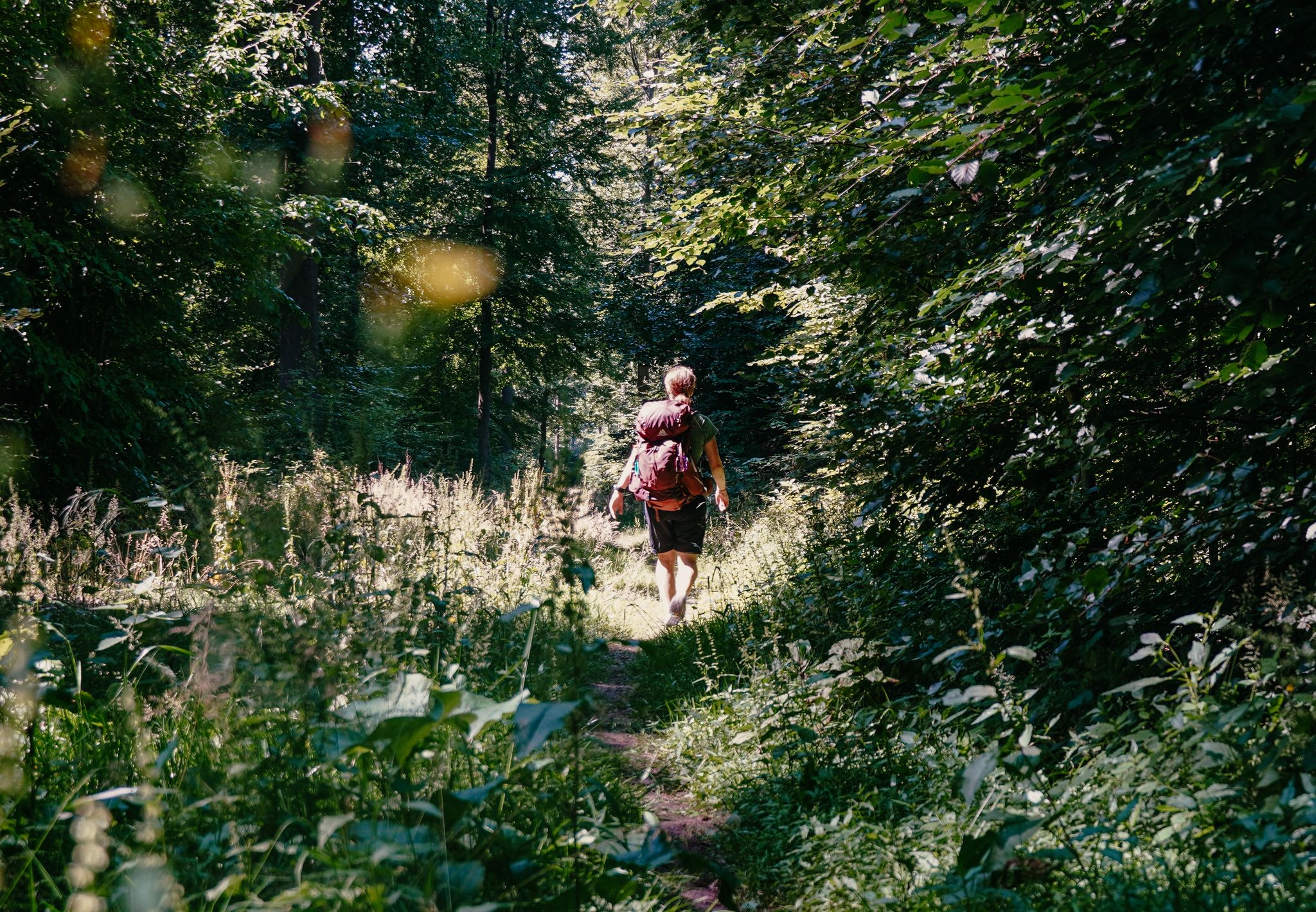
Experience nature with all your senses in the Weserbergland
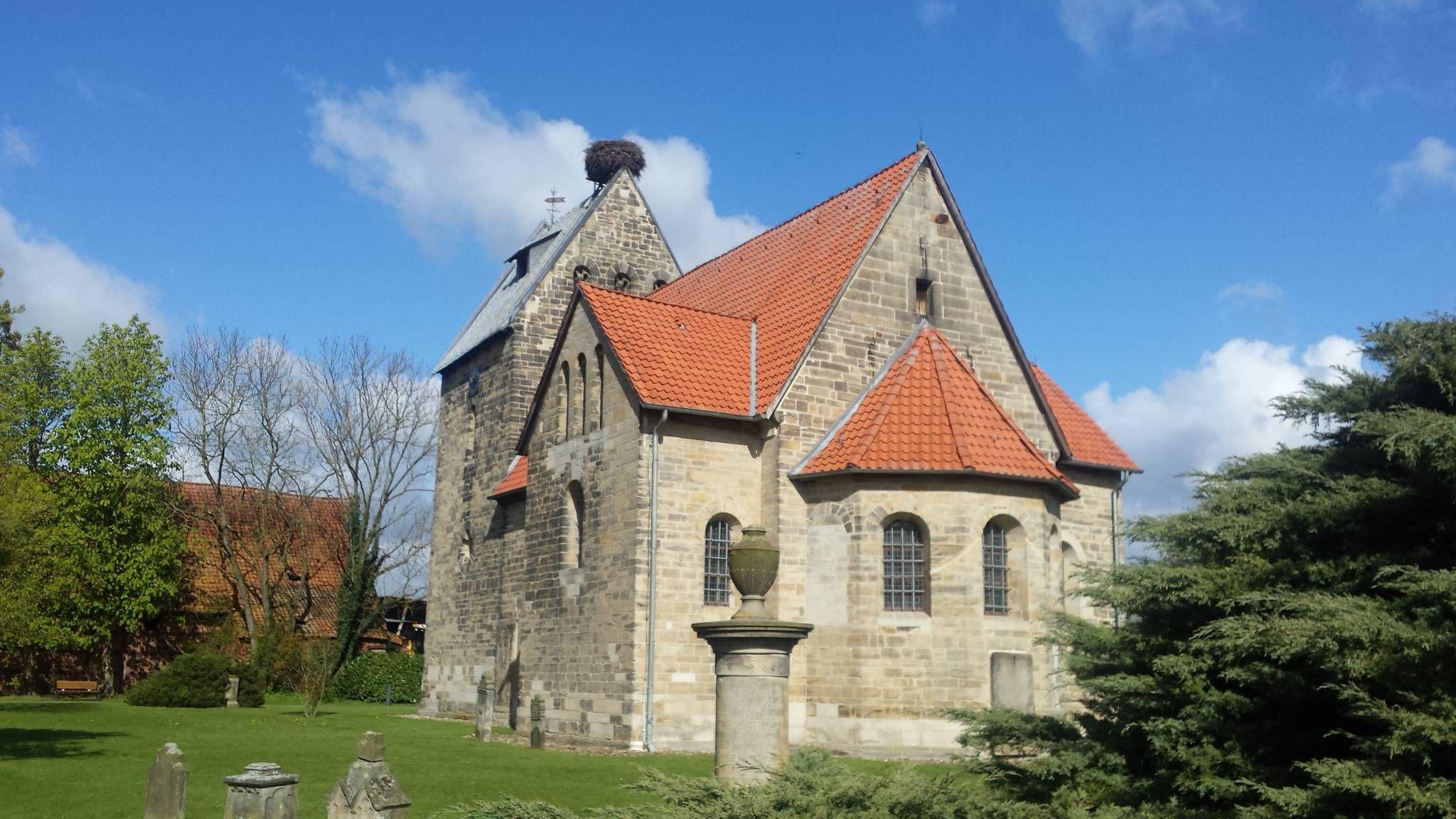
下サクソニーのシグワルドスウェグでの10日間の巡礼

33 MTB trails through German forests
ダイスターでのハイキング
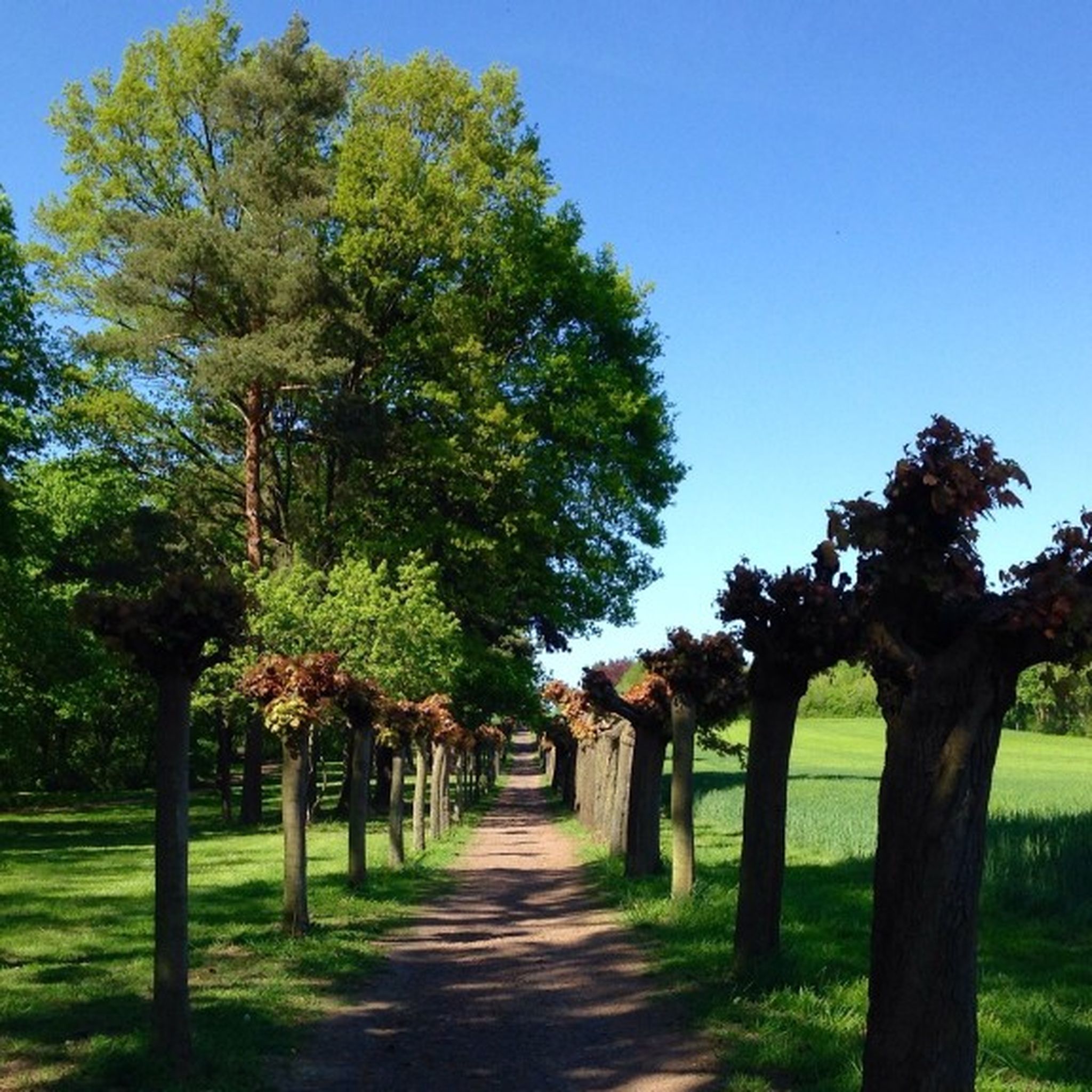
ダイスターでのサイクリング
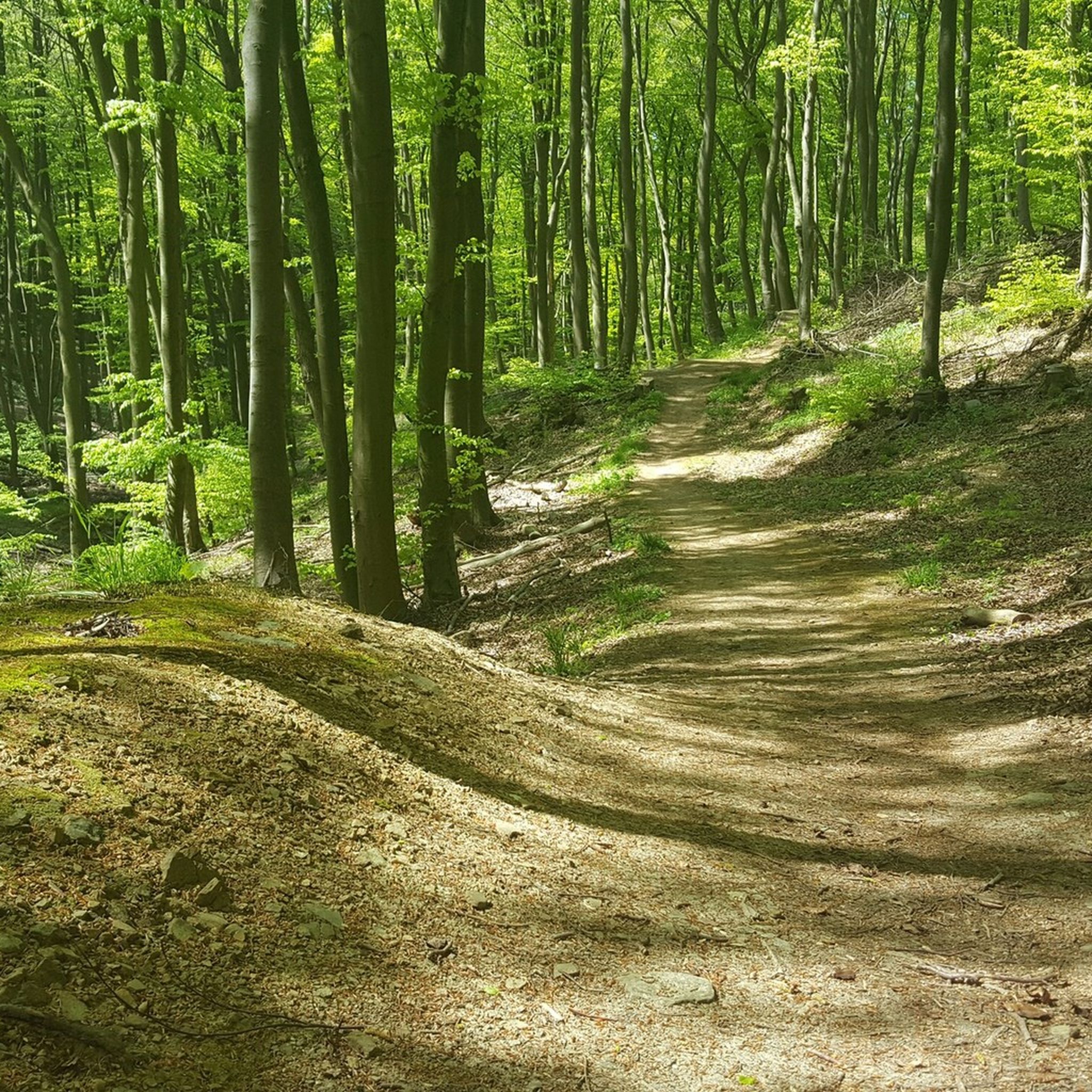
ダイスターのMTBトレイル
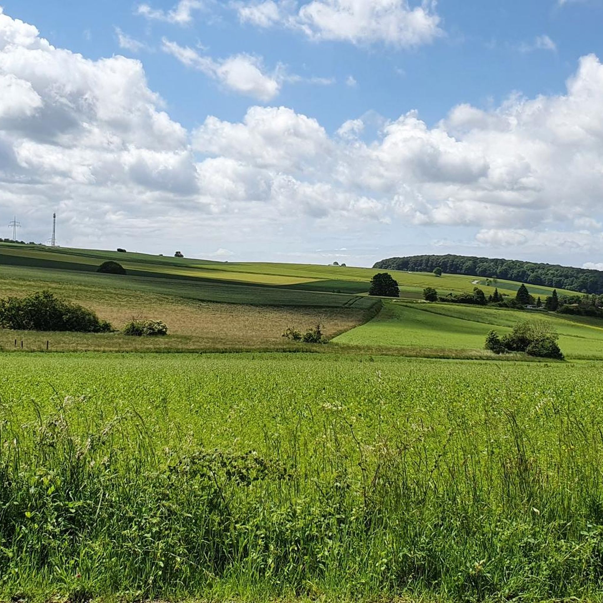
ダイスターのロードバイクルート
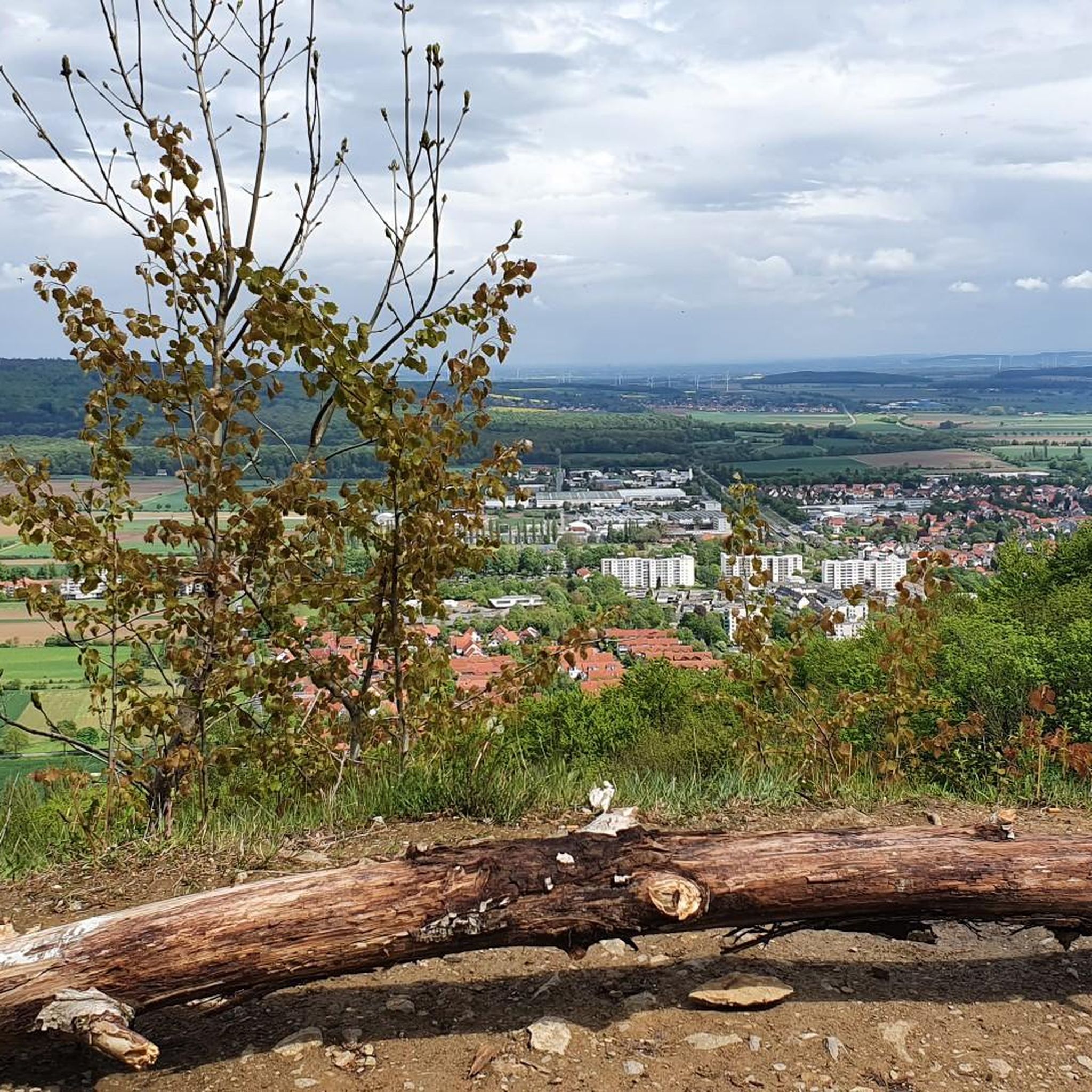
ダイスターのランニングコース
ダイスターでのの他の冒険


コミュニティからのヒント

The stone building with an information panel stands directly on the path from the open-air stage to the telecommunications tower. The door was bricked up in 1981. The inscription "1981" in the wall is unfortunately only partially preserved. "In Barsinghausen, the existing water supply was increasingly disrupted or interrupted by mining operations, and the wells ran dry. Since the mine operator was required to provide free drinking water, he had spring enclosures and reservoirs constructed in the Deister hills in 1909. Water pipes were then laid from there to the town." After mining ceased between 1956 and 1960, the Hanover district took over the water extraction facilities in 1962 and transferred them to a newly founded water association in 1964. Waterworks I ceased operation in 1980.
2
0

The Süntel Tower is temporarily closed. It may reopen on April 1st, 2026.
2
0
The Hohenstein in the Süntel hills is a striking rock formation and one of the most popular viewpoints in the Weser Uplands. From the approximately 340-meter-high cliff, there is a sweeping view across the Weser Valley and the surrounding hills. The Hohenstein's rocks are made of sandstone and drop steeply southward into the valley. From the natural viewpoints, especially the so-called "pulpit," the course of the Weser River, which meanders through the landscape in wide bends, is clearly visible. The area is part of the Süntel Nature Reserve and provides habitat for numerous animal and plant species.
1
0

Beginning of the nature reserve - please stay on the paths!
0
0

Not suitable for people with a fear of heights
0
0

The Teufelskanzel (Devil's Pulpit) is a striking vantage point in the Weser Mountains near Hessisch Oldendorf, about 16 kilometers northwest of Rinteln. It is located on the Hohenstein, a wooded plateau at an altitude of approximately 340 meters, and offers impressive views over the Weser Valley and the surrounding Weser Uplands. The Teufelskanzel rock formation is part of the Hohenstein cliffs, which are up to 40 meters high and also include the "Green Altar" and the "Hirschsprung" (Deer Leap). These cliffs drop steeply to the Weser River and are accessible via well-marked hiking trails. The ascent involves some steep steps and requires surefootedness. Once at the top, the view rewards the effort with a magnificent panorama. The region around the Teufelskanzel is rich in myths and legends. It is said that the devil once preached here, which gave the rock formation its name. Other points of interest are nearby, such as the "Green Altar," which is considered a historically significant site and may have once served as a sacrificial site. For hikers, there's a circular route that leads from Zersen through the Blutbach Valley up to Hohenstein. The route is approximately eight kilometers long and leads through diverse landscapes with deciduous forests and open rocks. There are several rest stops along the way, including the Baxmannbaude hut, which is a great place to stop for a break.
0
0

Historical facility related to coal mining in the region
0
0


komootモバイルアプリでインスピレーションを得よう


さらに探索
他の地域の最高の登山ハイキング & ルートを見てみましょう。
