ウージンゲンのおすすめ登山&山歩きルート
5.0
(2)
8
ハイカー
3
ハイキング
ホッホタウヌスクライスの山々をもっと探索しませんか?このガイドでご紹介するのは、komootがウージンゲンでの登山&山歩きのコレクション全体を評価して選び抜いた、このエリアの人気ルートです。あなたに合ったルートを見つけるには、他のユーザーがアップロードした役立つ情報や写真を閲覧し、クリック操作で簡単に表示できる詳細なデータを参考にしましょう。ウージンゲンでの次の冒険にぴったりの登山&山歩きルートが見つかるはずです。
最終更新日: 11月 1, 2026
1
ハイカー
7.80km
02:30
320m
320m
中程度の登山ルート. ある程度のフィットネスレベルが必要です。 ほとんどが歩ける道です。足元への注意が必要です。
5.0
(1)
3
ハイカー
10.8km
03:30
470m
470m
中程度の登山ルート. ある程度のフィットネスレベルが必要です。 ほとんどが歩ける道です。足元への注意が必要です。

5.0
(1)
4
ハイカー
4.47km
01:47
300m
300m
中程度の登山ルート. ほとんどが歩ける道です。足元への注意が必要です。
3.45km
01:09
160m
160m
中程度の登山ルート. ほとんどが歩ける道です。足元への注意が必要です。
3
ハイカー
8.30km
02:35
300m
300m
中程度の登山ルート. ある程度のフィットネスレベルが必要です。 ほとんどが歩ける道です。足元への注意が必要です。
おすすめのツアーは他のkomootユーザーが実際に経験した何千ものアクティビティに基づいています。
無料アカウントで今日から始めよう
次の冒険が待っています。
ウージンゲン周辺で人気
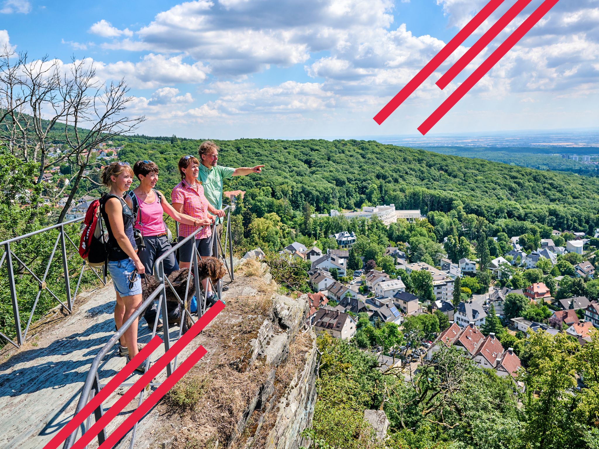
Delightfully scenic hiking in the Taunus range
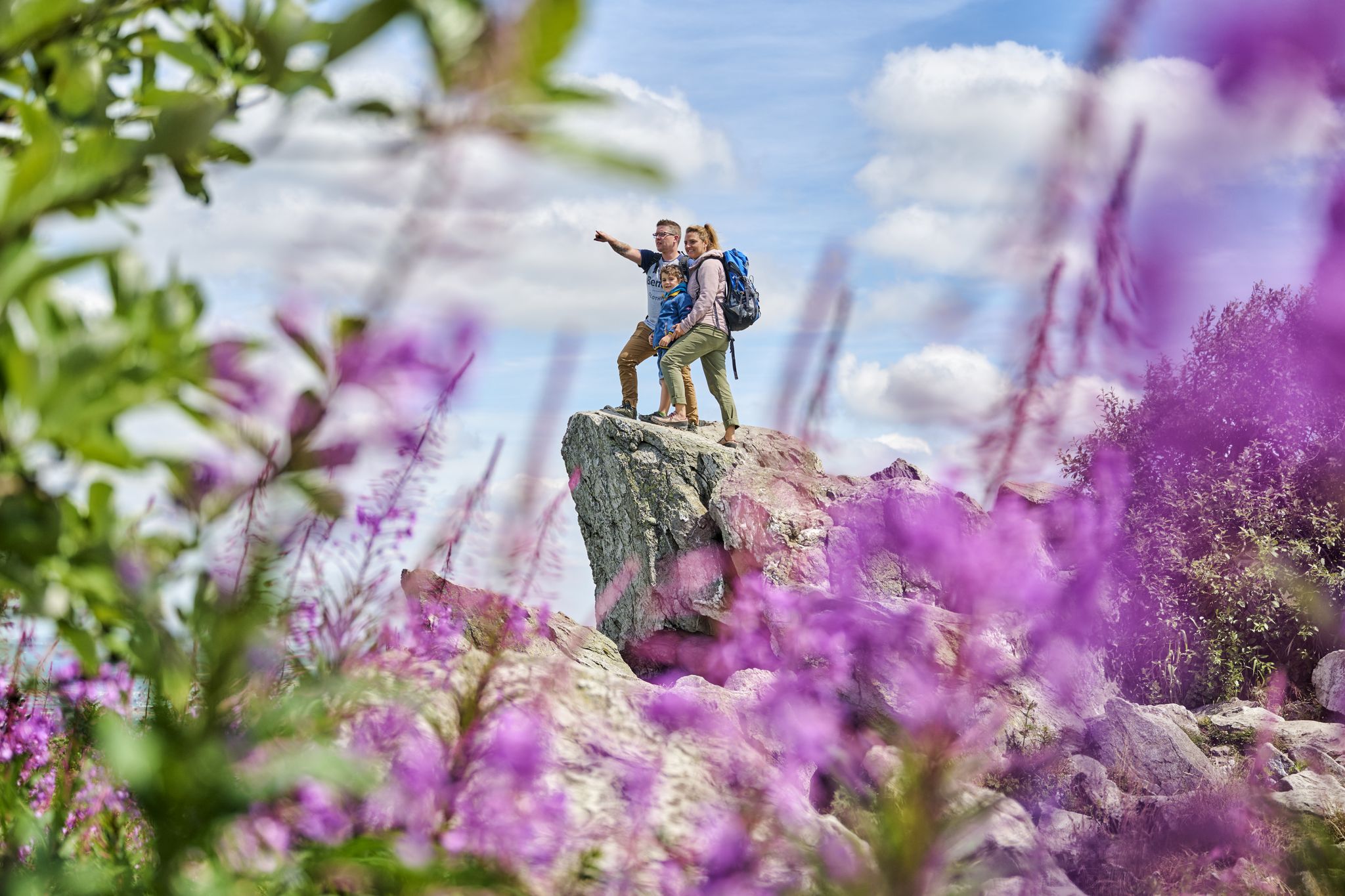
History, forest and gnomes – hiking in Germany’s Hochtaunus region
Spring is here – hiking with family by bus & train in Rhine-Main
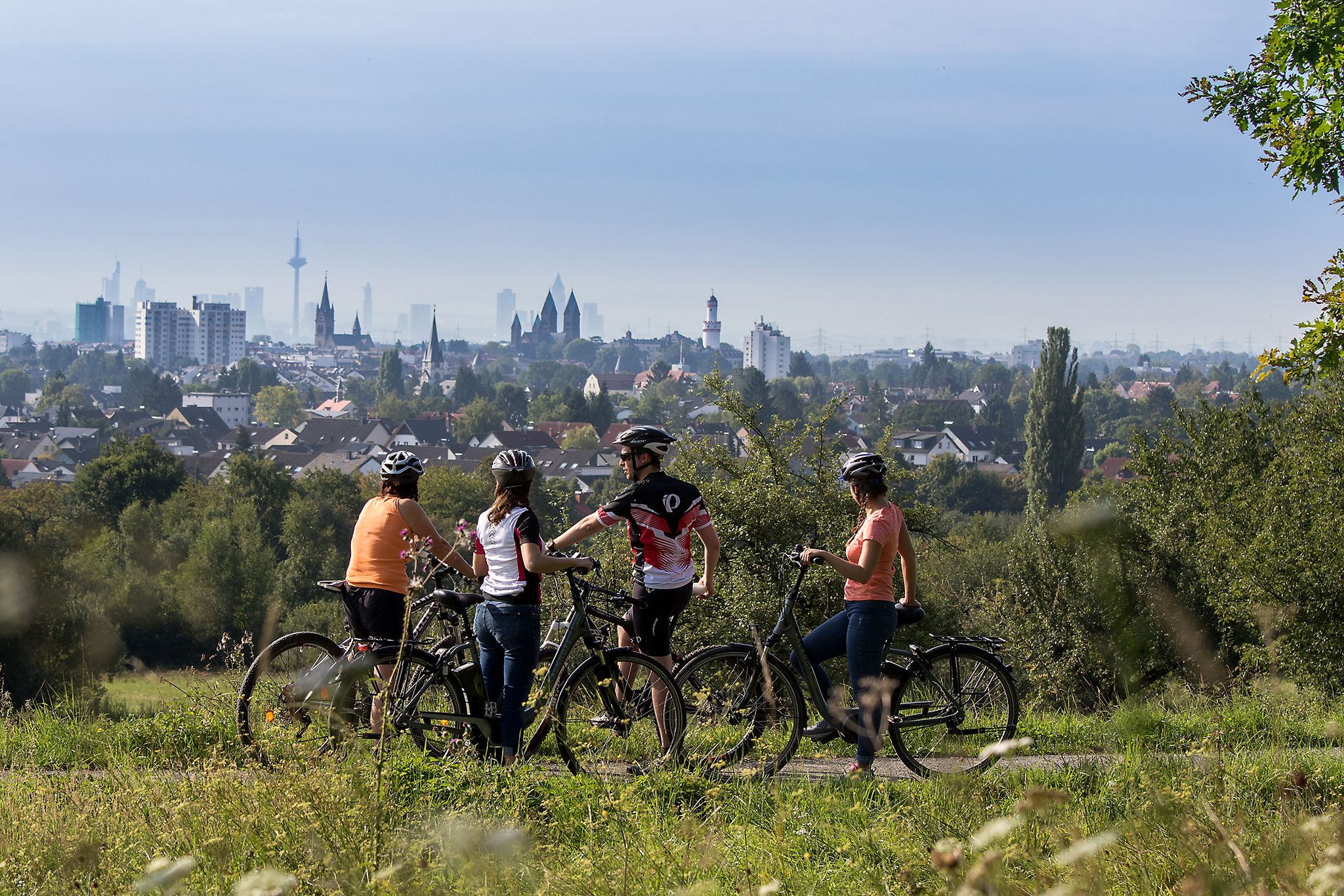
From safari to world heritage — cycling tours in the Taunus region
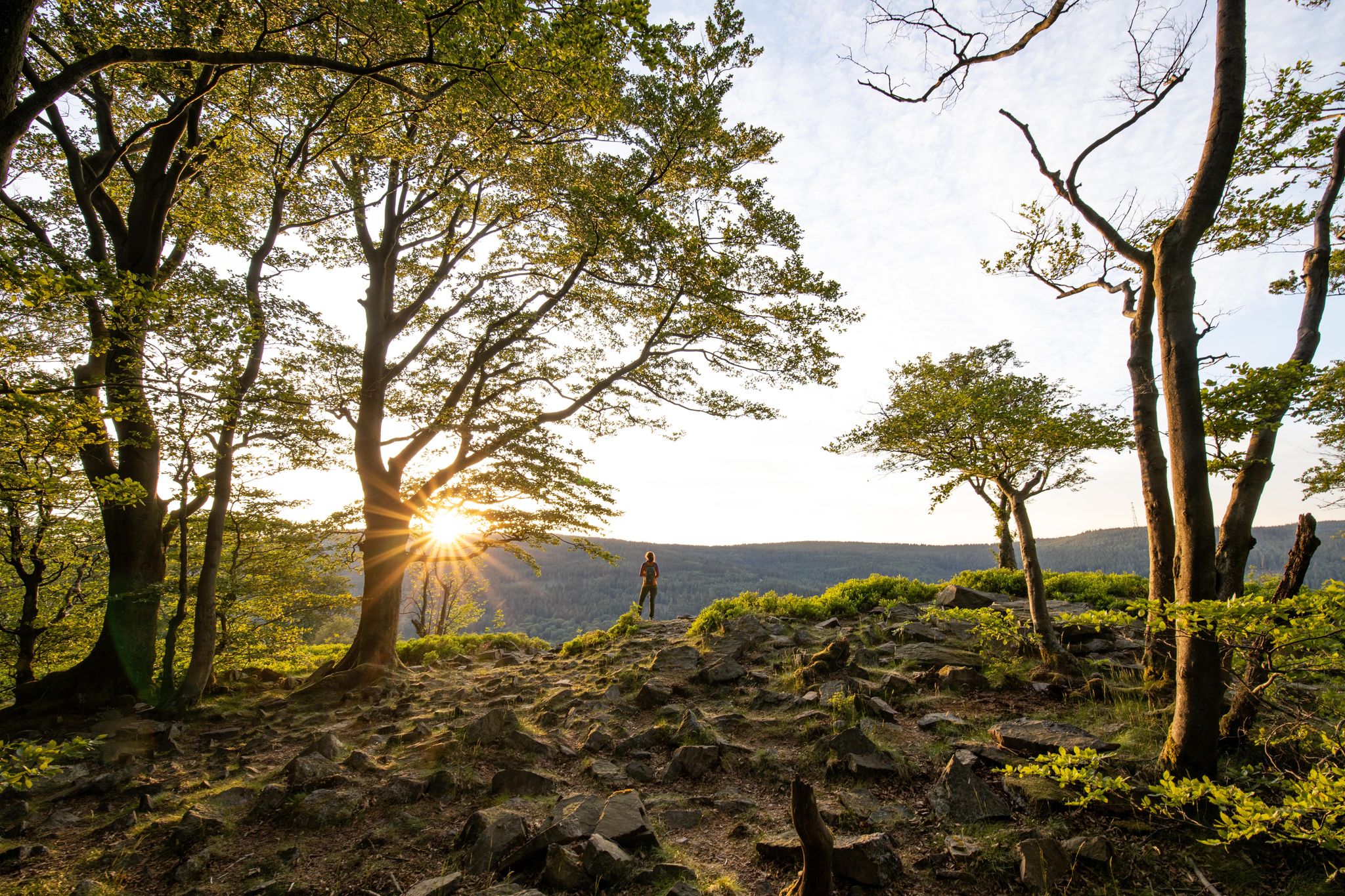
Deep valleys and airy heights – the most beautiful hikes in the Taunus in Germany
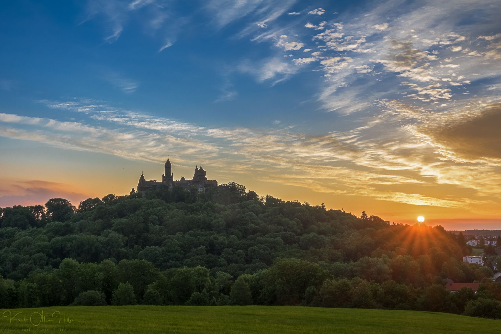
A journey through time – the most beautiful routes in the Taunus Nature Park
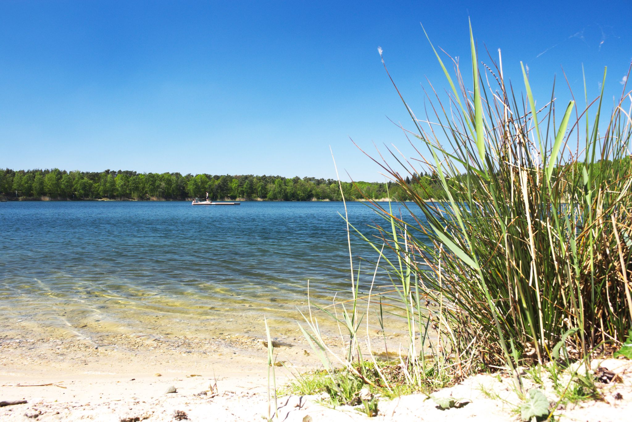
The best swimming lakes around Frankfurt
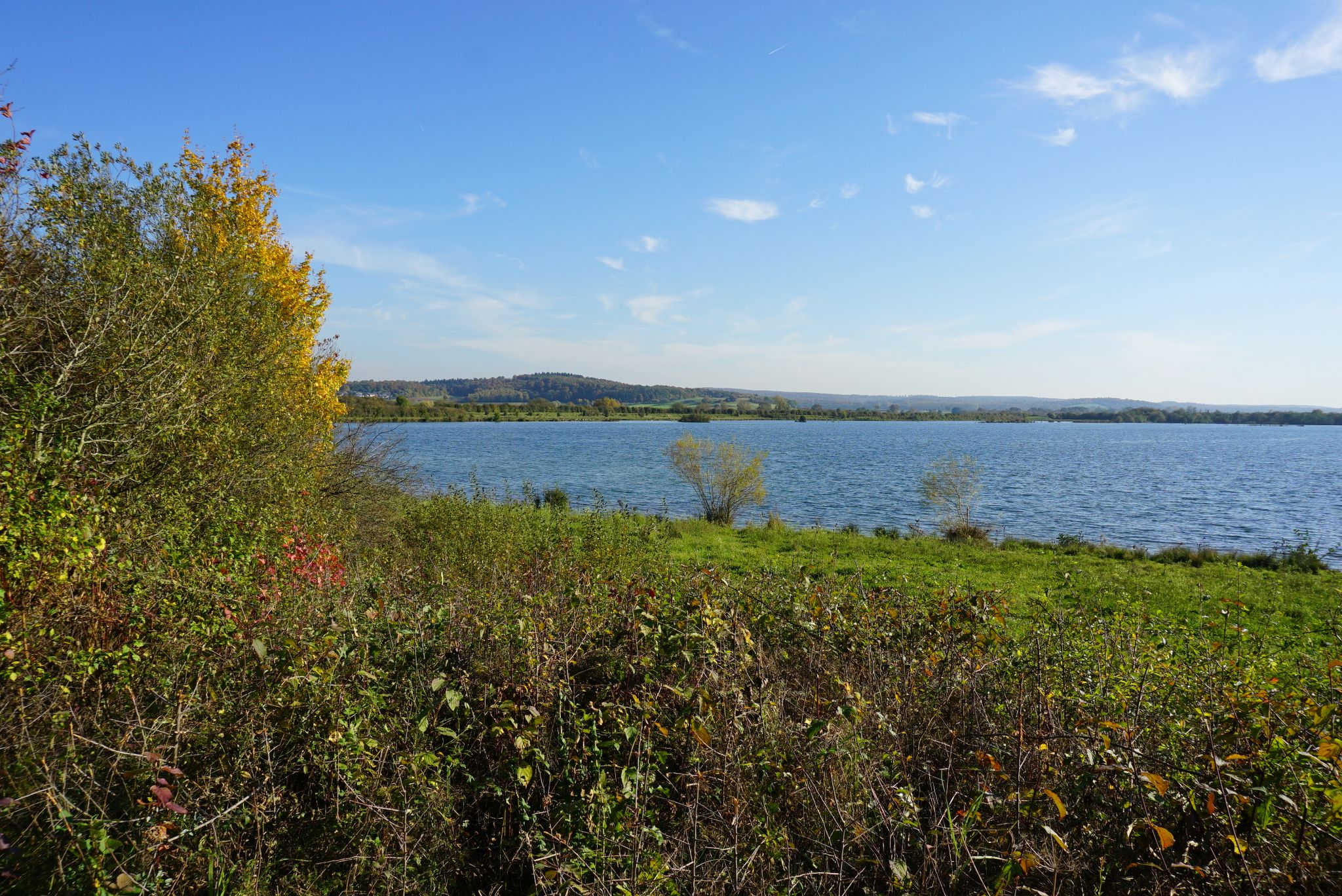
Pack die Badehose ein! – Mit Rad und Öffis zu den schönsten Seen im RMV-Gebiet
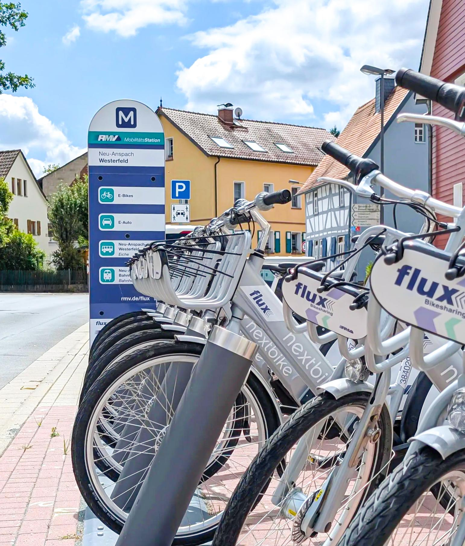
Mit flux & Bahn – Radtouren im Usinger Land
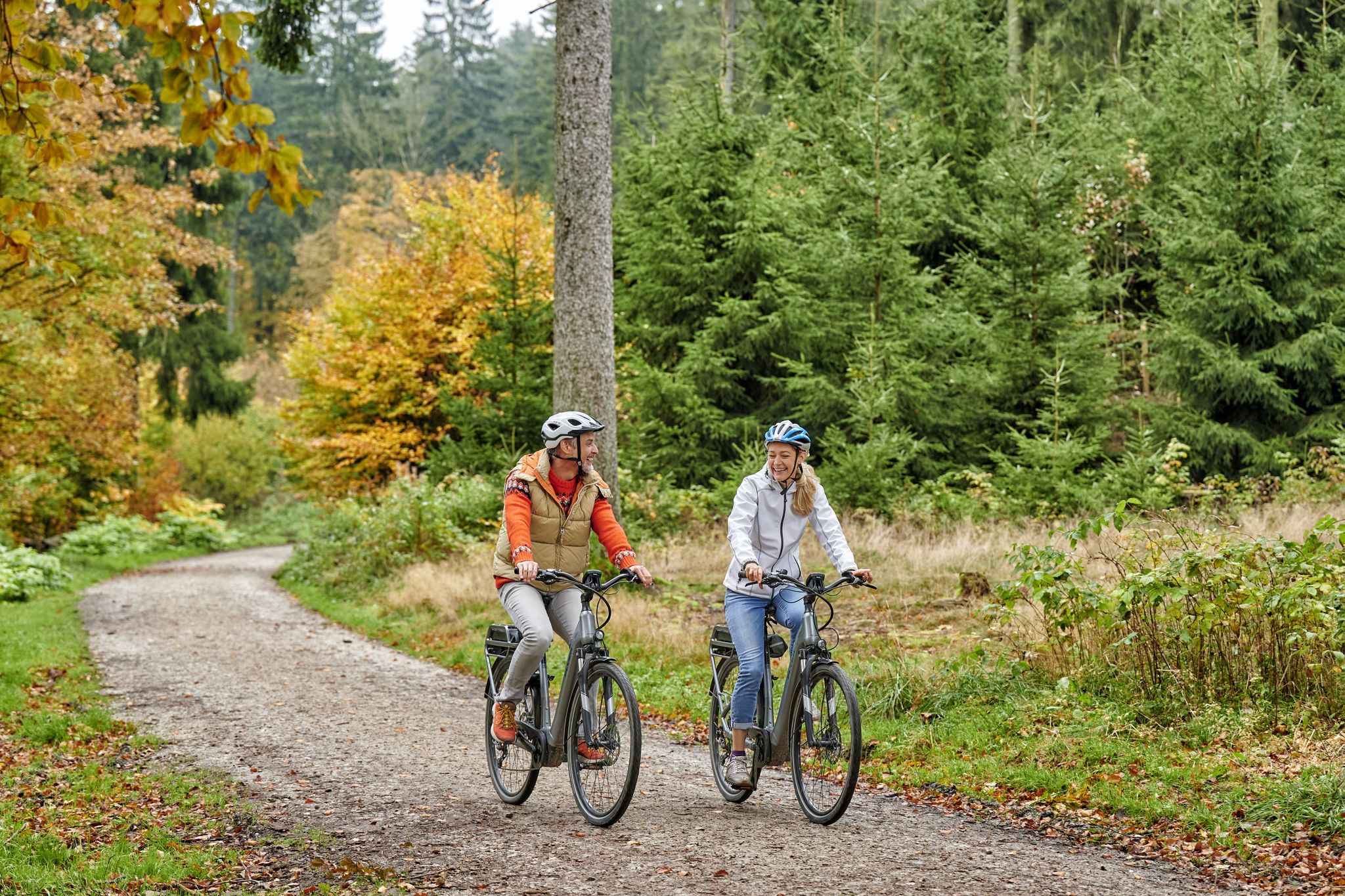
Radfahren im Taunus – Auspowern, genießen, entdecken


コミュニティからのヒント

力強く、時には垂直にそびえ立つ岩々は、何百万年もの地質学的プロセスの結果であり、周囲の森の小道と魅力的なコントラストを成しています。岩の通路は、高い岩壁に囲まれた狭い通り道となっており、特に印象的です。
6
0


Komoot's automatic renaming of highlights is driving me crazy 😖 "Swampy Ski Slope"—what's with this nonsense??? Unfortunately, this is an isolated incident!
0
0

The White Wall in the Taunus Mountains is a quartzite field formed during the Ice Age on the Altkönig mountain by frost weathering. It lies at a maximum elevation of 634 meters above sea level [1] near Oberursel in the Hochtaunus district of Hesse. The area is designated as a nature reserve 🤩
14
0

Sneakers not recommended, surefootedness and stability are required here 🤗
1
1

The mountain rescue station on the Feldberg is an important base for the mountain rescue service, which ensures safety in the surrounding hiking and skiing areas. It is located near the highest point of the Feldberg and serves as a rescue and care station for mountain accidents. Hikers and skiers can receive help here in an emergency, and the station is also a contact point for the mountain rescue service, which is regularly active in the region.
7
0

komootモバイルアプリでインスピレーションを得よう


さらに探索
他の地域の最高の登山ハイキング & ルートを見てみましょう。
