ナータースのおすすめMTBライド
4.6
(771)
4,310
ライダー
48
ライド
ナータース周辺には魅力的なマウンテンバイクルートがいくつもありますが、冒険を始めるにはその場所とルートを把握する必要があります。ここでは、komootが提供するナータース周辺でのマウンテンバイクルートのコレクション全体を評価して選び抜いた、人気ルートをご紹介します。各ライドの詳細をぜひご覧ください。
最終更新日: 10月 8, 2026
4.7
(40)
220
ライダー
46.0km
05:10
1,640m
1,640m
難しいマウンテンバイクライド. 標準以上のフィットネスレベルが必要です。 高度なライディングスキルが必要です。ツアーの一部で自転車を押して歩く必要があるかもしれません。
4.6
(48)
232
ライダー
51.3km
04:03
1,140m
1,140m
難しいマウンテンバイクライド. 標準以上のフィットネスレベルが必要です。 あらゆるスキルレベルに適しています。

4.3
(29)
201
ライダー
35.9km
03:07
1,050m
1,050m
難しいマウンテンバイクライド. 標準以上のフィットネスレベルが必要です。 高度なライディングスキルが必要です。
4.8
(22)
201
ライダー
56.6km
06:45
1,840m
1,840m
難しいマウンテンバイクライド. 標準以上のフィットネスレベルが必要です。 高度なライディングスキルが必要です。ツアーの一部で自転車を押して歩く必要があるかもしれません。
4.7
(16)
185
ライダー
50.0km
06:06
2,060m
2,060m
難しいマウンテンバイクライド. 標準以上のフィットネスレベルが必要です。 高度なライディングスキルが必要です。ツアーの一部で自転車を押して歩く必要があるかもしれません。
さらに多くのルートや他のユーザーのおすすめ情報を確認できます。
すでにアカウントをお持ちですか?
おすすめのツアーは他のkomootユーザーが実際に経験した何千ものアクティビティに基づいています。
無料アカウントで今日から始めよう
次の冒険が待っています。
ナータース周辺で人気
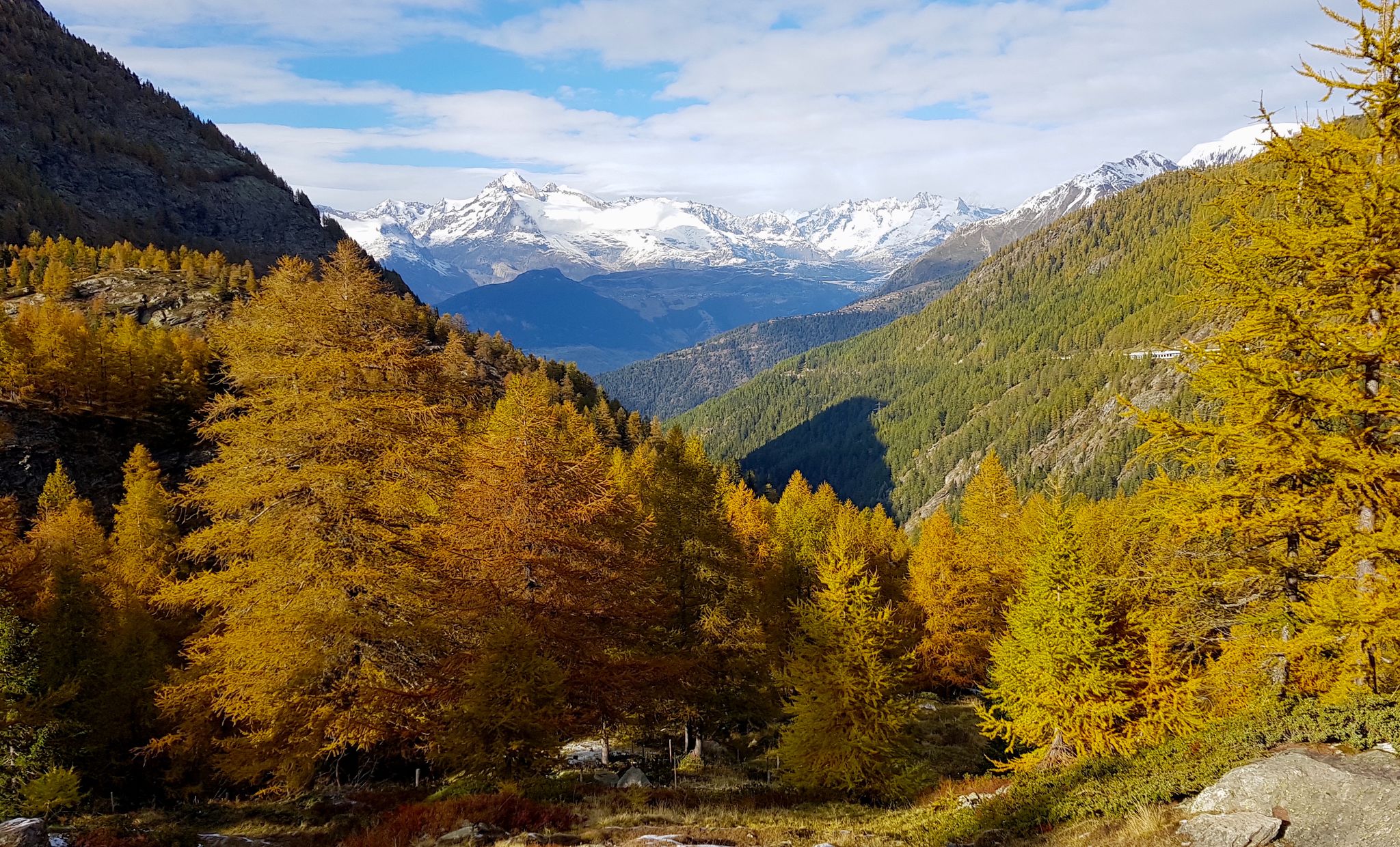
ViaStockalper - 壮大な自然景観を通じた文化ハイキング
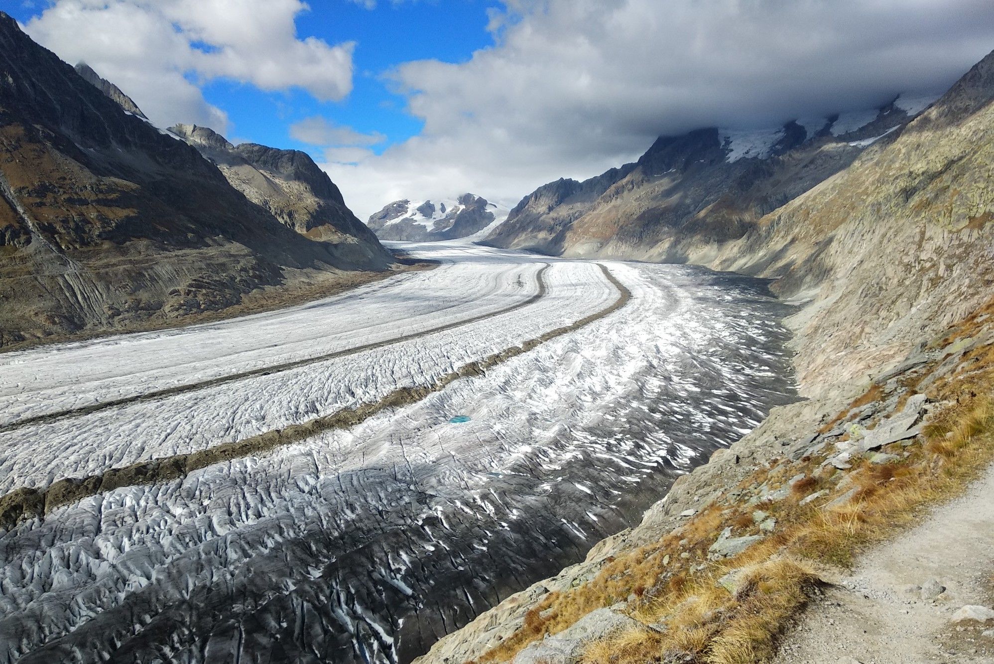
Aletsch Panorama Trail - ラロトス ゴルッスルーランドルいません
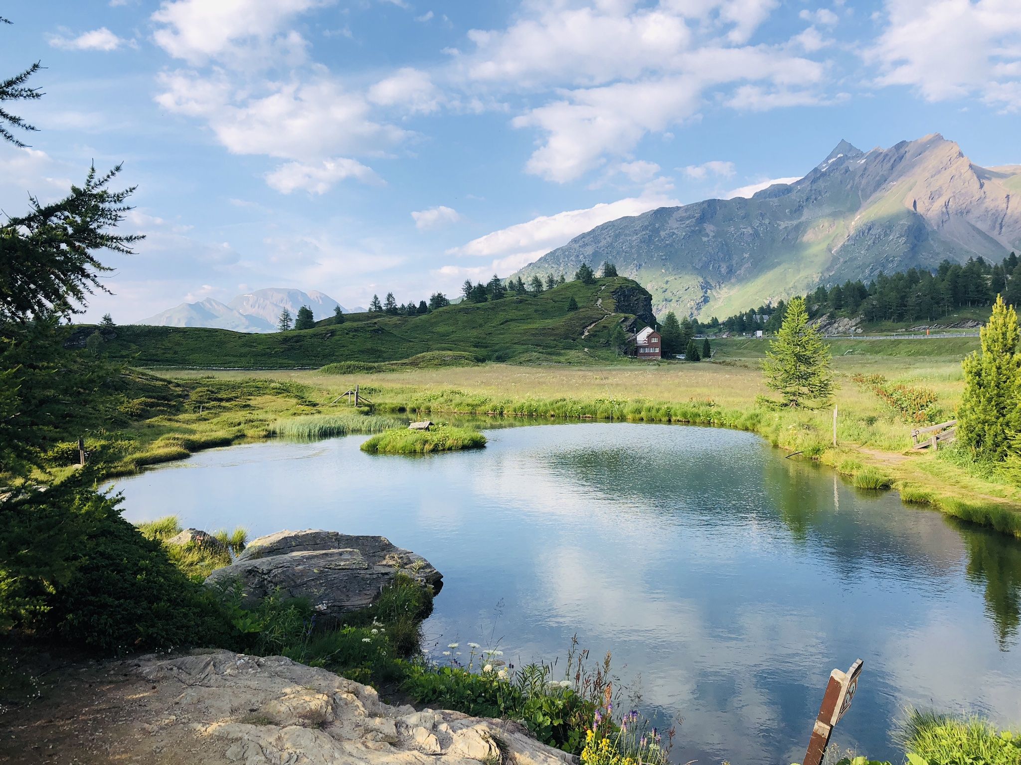
The closest place to the sun in Switzerland – multiday Tours in Valais
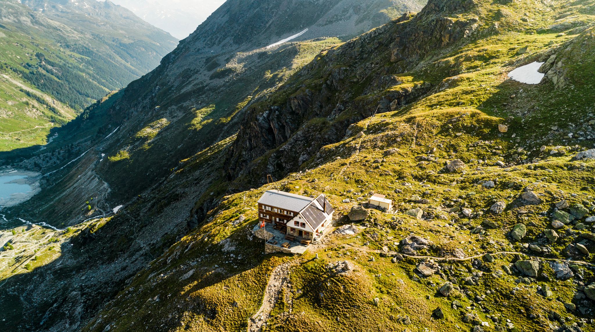
Valais — Making the mountain your home
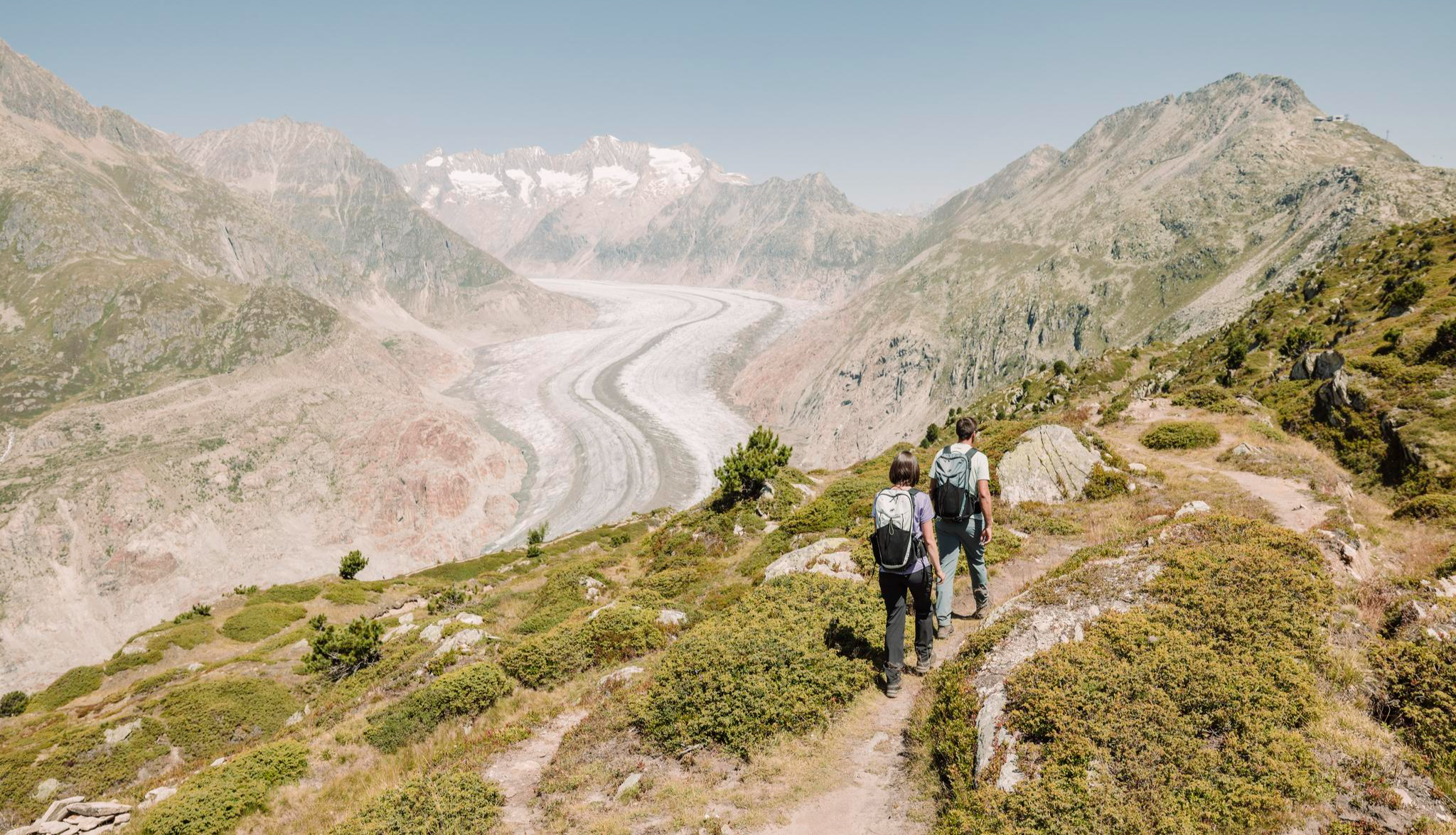
Die schönsten Wanderungen am Aletschgletscher – 10 Tourentipps im UNESCO-Welterbe
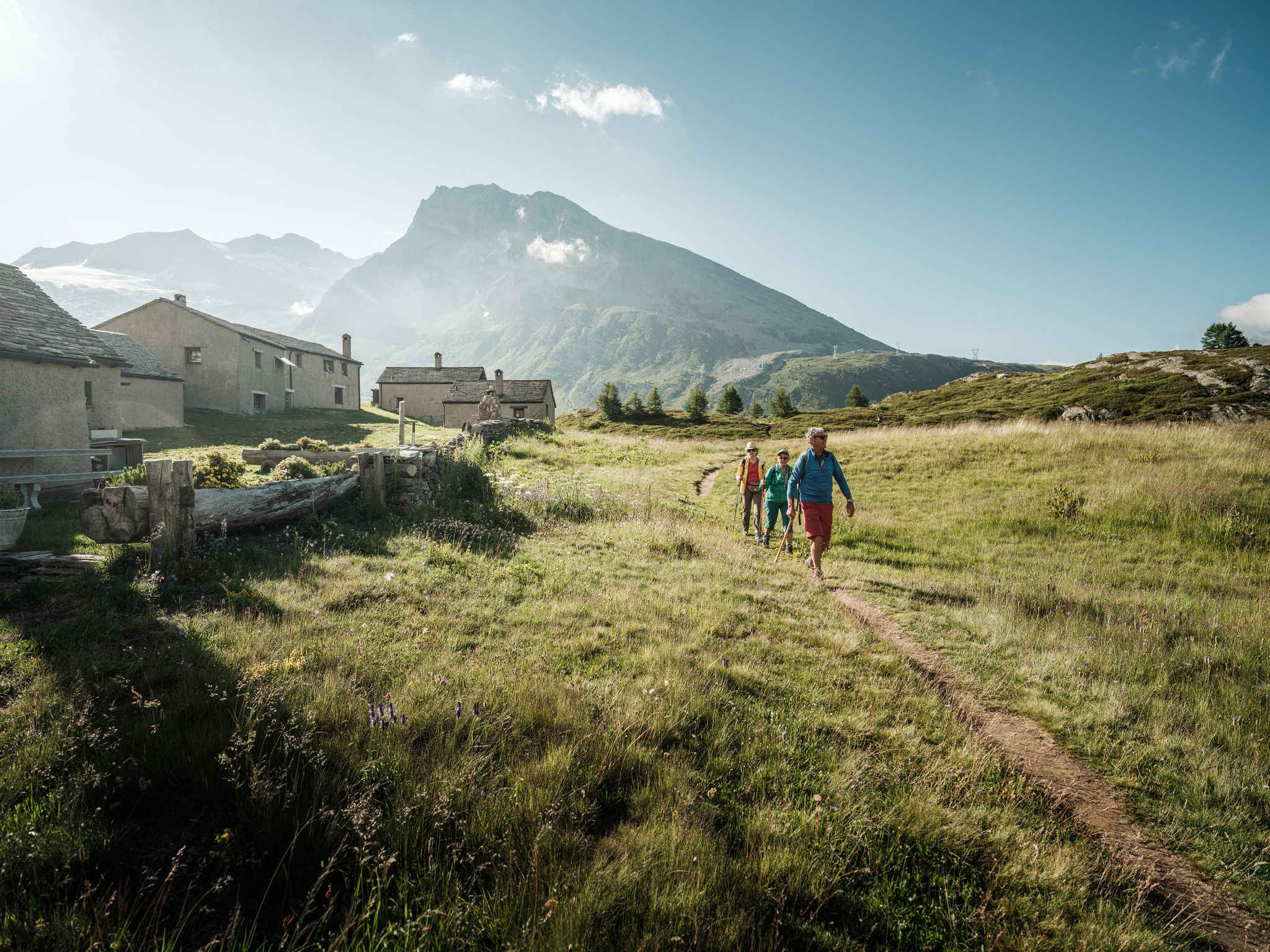
Brig Simplon – Wandern zwischen Pass, See und Schloss
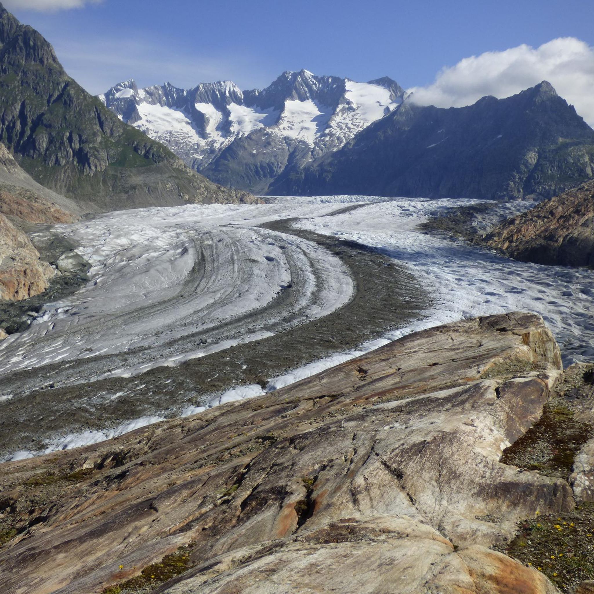
ナータースでのハイキング
ナータースのロードバイクルート
ナータースでのサイクリング
ナータースのランニングコース
ナータースでのの他の冒険


コミュニティからのヒント

Visperterminenのブドウ栽培学習路では、ヨーロッパ本土で最も標高の高いブドウ畑でのワイン栽培に関する知識を、いくつかの情報パネルで紹介しています。この道沿いで、訪問者はブドウの剪定、様々なブドウ品種、伝統的な石垣の建設、そして急斜面のブドウ棚の困難な管理について学ぶことができます。 特に、Visperterminenが地域を超えて広く知られている固有のブドウ品種であるHeida(Savagnin Blanc)に重点が置かれています。この学習路は、印象的な眺めと、ヴァレー州の何世紀にもわたるワイン栽培文化への興味深い洞察を結びつけています。 興味深い点:情報パネルはドイツ語(標準ドイツ語)とヴァレー方言の2言語で作成されており、ワイン栽培に関する知識だけでなく、地域の文化の一部も伝えています。
0
0

ここ、きれいですね。とてもきれいですね。
0
0


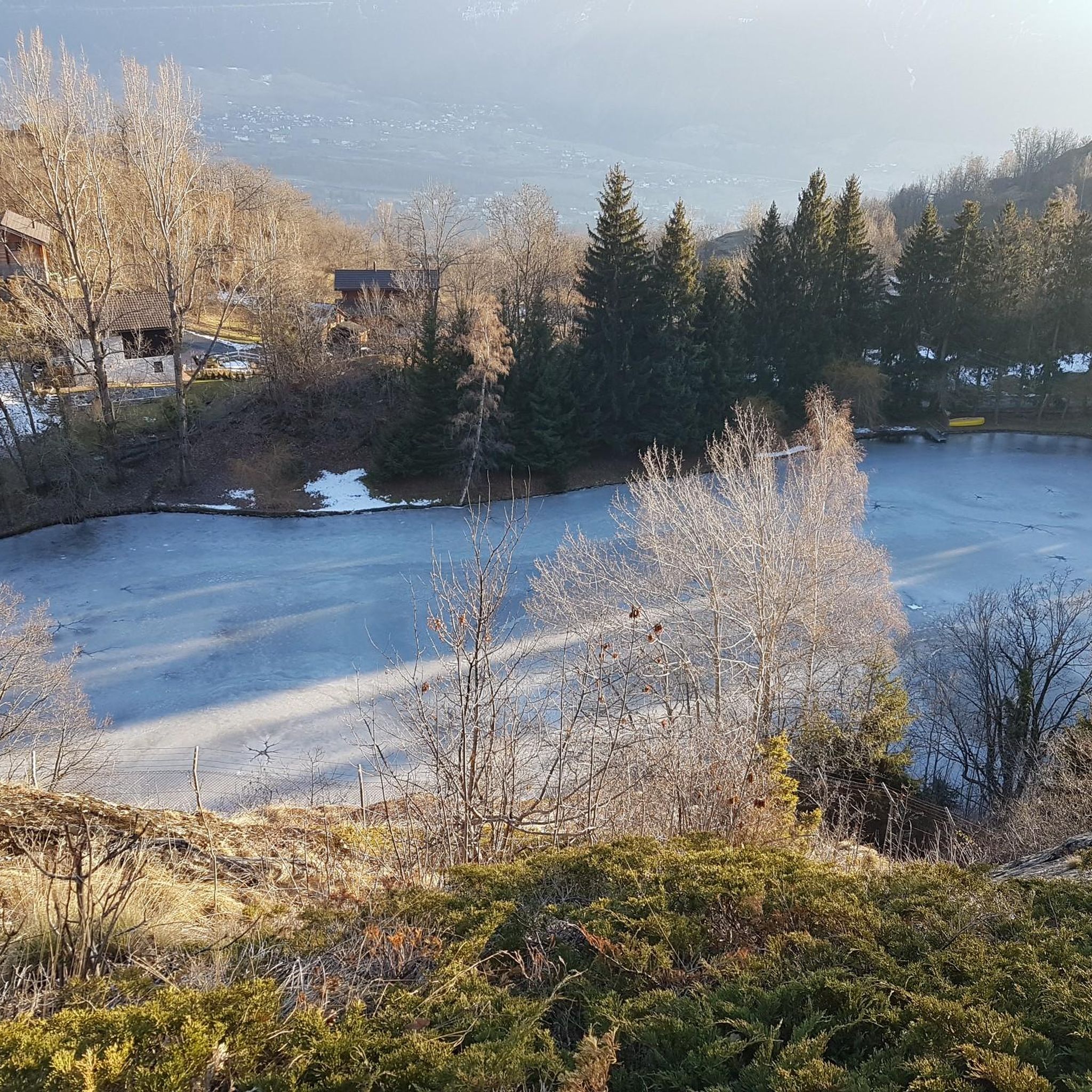
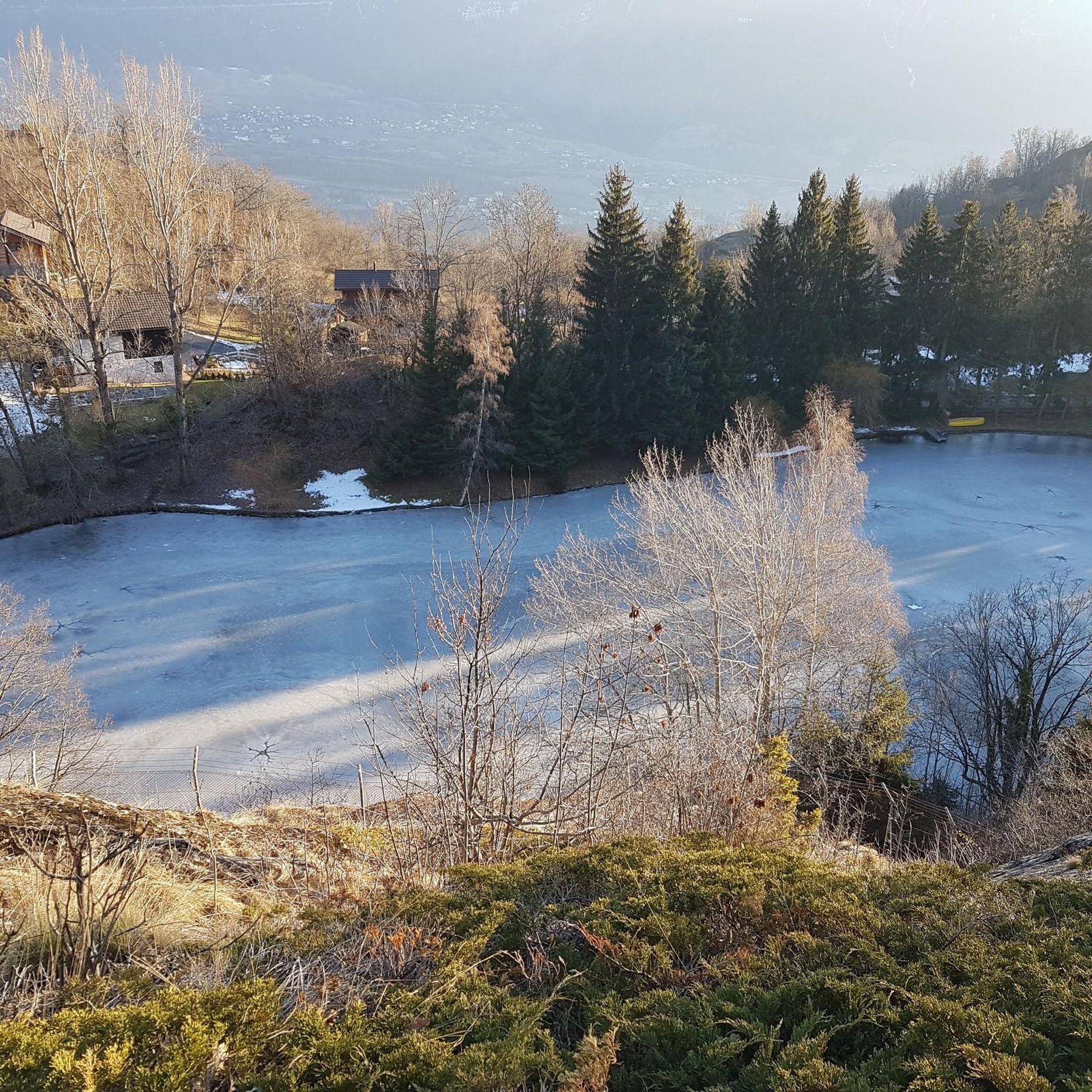
Rosswald lies on a relatively narrow ridge at 1,800 meters, high above Brig. The paved road ends in the center of the village, around which many chalets nestle. Two restaurants (Parkplatz and Adler) directly in the village and two more just outside (Fleschboden and Bortelhütte) offer stunning views of the Rhone Valley and the Bernese Alps opposite, inviting visitors to stop for a break before or after their ascent. As early as the 1950s, this sun-drenched village was made accessible by cable car. The artificial lake just above Rosswald is a popular spot, used in winter for artificial snowmaking on the ski slopes and in summer as a rest area. Several official mountain bike routes also pass through Rosswald, such as the Valais Panorama Bike (Route 81) and the Rosswald Bike Route 780.
0
0
The Saflisch Pass, at over 2,500 meters high, can be reached by bike, but it's a real challenge. From Binn, you have to climb over 1,100 meters in altitude over a distance of about 14 kilometers. The higher you go, the wilder and quieter it becomes. A fantastic crossing that demands a lot but is equally rewarding!
1
0
Many old and picturesque houses line the large stone fountain in the middle of Ernen's village square. Their foundations are mostly made of stone and adorned with detailed frescoes, while the upper floors are constructed of wood and decorated in other ways. Together, they create a truly picture-perfect scene! The village's appearance has already been awarded the Wakker Prize and is of national importance. A stop at one of the village pubs is definitely worthwhile!
0
0

Very nice view of the Glishorn, the local mountain of Brig-Glis.
0
0

komootモバイルアプリでインスピレーションを得よう


