アガカリオンのおすすめランニングルート
4.8
(16)
2,482
ランナー
118
ランニング
アガカリオンでランニングを楽しめば、このエリアをより深く知ることができます。ランニングに適した美しいルートが見つかるように、komootがアガカリオンでのルートのコレクション全体を評価して選び抜いた、人気ランニングトレイルをご紹介します。ルートをクリックして詳細を表示し、他のユーザーがアップロードした役立つ情報や写真を閲覧しましょう。
最終更新日: 8月 22, 2026
7
ランナー
7.02km
01:00
270m
270m
中程度のジョギング. ある程度のフィットネスレベルが必要です。 全般的に舗装された状態です。あらゆるスキルレベルに適しています。
165
ランナー
13.0km
01:28
230m
230m
中程度のジョギング. ある程度のフィットネスレベルが必要です。 全般的に舗装された状態です。あらゆるスキルレベルに適しています。

無料新規登録
109
ランナー
7.64km
01:03
280m
280m
中程度のジョギング. ある程度のフィットネスレベルが必要です。 全般的に舗装された状態です。あらゆるスキルレベルに適しています。
55
ランナー
10km
01:12
240m
240m
中程度のジョギング. ある程度のフィットネスレベルが必要です。 全般的に舗装された状態です。あらゆるスキルレベルに適しています。
40
ランナー
10.2km
01:12
150m
150m
中程度のジョギング. ある程度のフィットネスレベルが必要です。 全般的に舗装された状態です。あらゆるスキルレベルに適しています。
さらに多くのルートや他のユーザーのおすすめ情報を確認できます。
無料新規登録
すでにアカウントをお持ちですか?
おすすめのツアーは他のkomootユーザーが実際に経験した何千ものアクティビティに基づいています。
無料アカウントで今日から始めよう
次の冒険が待っています。
ログインまたは登録
コミュニティからのヒント

Wikipedia (Tollymore Forest Park, 2026-08-15): https://en.m.wikipedia.org/wiki/Tollymore_Forest_Park 「…アイビー橋は1780年に建設され、フォリーズ橋は1787年に建設されました。...」
2
0
FACEBOOK (ニューカッスル、ダウン県、ホーズ橋の歴史、2026年8月15日): https://www.facebook.com/HistoryofNewcastleCo.Down/photos/hores-bridge-over-the-spinkwee-river-sw-tollymore-was-built-in-1824-the-date-is-/754755631362196/ 「… スピンクウィー川にかかるホーズ橋、トリーモア南西部は1824年に建設されました。...」
1
0
飛び石は現在フェンスで囲まれています。島名川を渡るには、近くの橋をご利用ください。
2
0
Wikipedia(Tollymore Forest Park、2026-08-14): https://en.m.wikipedia.org/wiki/Tollymore_Forest_Park 「…パーネル橋は、18世紀後半にトリーモアを訪れたジョン・パーネル卿を記念して名付けられ、1842年に建設されました。トリーモアで最後に建設された石橋でした…」
2
0
ウィキペディア (Tollymore Forest Park, 2026-08-14): https://en.m.wikipedia.org/wiki/Tollymore_Forest_Park 「... ハーミテージは、ジェームズ・ハミルトン(第2代クランブラシル伯爵)が1770年代に、友人のジョン・モンタギュー、モンザーマー侯爵を偲んで設計した小さな石造りの避難所です。川の上の峡谷の斜面に建てられており、男性が釣りをする間、女性が避難する場所として使われていました。ハーミテージ内にはギリシャ語の碑文があり、「クランブラシルから、親愛なる友人モンザーマーへ 1770年」と訳されています。...」
2
0
Wikipedia (Tollymore Forest Park, 2026-08-14): https://en.m.wikipedia.org/wiki/Tollymore_Forest_Park 「… ホーン橋は、小さな暗渠化された小川を横切り、砂利道によって渡られます。橋の下の小川は、小道につながる板敷きの遊歩道で覆われています。1770年頃、初代または2代目のアールによって建てられました。...」
1
0

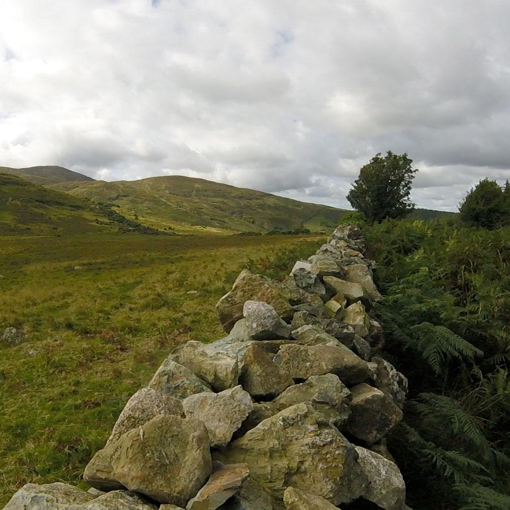
Hare's Gap is a dramatic mountain pass nestled in the heart of the Mourne Mountains. This striking pass, situated between Slieve Bearnagh and Slievenaglogh, offers hikers a blend of natural beauty and historical intrigue. From this vantage point, hikers are treated to panoramic views of the surrounding peaks and valleys. The pass itself is historically significant, having once served as a route for smuggling goods across the mountains, adding a layer of intrigue to the hike. Hare's Gap is a popular starting point for various hikes, including ascents of Slieve Bearnagh and Slieve Meelmore.
2
0
Hare’s Gap is one of the most iconic passes in the Mourne Mountains, marked by its rugged stile and dramatic views that open up across the range. Once a historic smuggling route, it remains a natural gateway into the high Mournes, with steep paths and striking rock formations framing the way. From here, the landscape unfolds in every direction, making it a perfect spot to pause, take in the scenery, and appreciate the wild beauty of these mountains.
4
0
アガカリオンでのの人気観光スポット

komootモバイルアプリでインスピレーションを得よう


さらに探索
他の地域の最高のランニングトレイル & ルートを見てみましょう。
