ザクセルンのおすすめライド
4.7
(470)
16,486
ライダー
70
ライド
ザクセルン周辺のロードバイクルートをお探しですか?ここでは、komootが提供するザクセルンでのロードバイクライドのコレクション全体を評価して選び抜いた人気ルートをご紹介します。各ライドの詳細をぜひご覧ください。
最終更新日: 10月 11, 2026
4.9
(27)
1,041
ライダー
86.2km
05:16
2,220m
2,220m
難しいロードライド. 標準以上のフィットネスレベルが必要です。 ツアーの一部に、未舗装のため走行が難しい箇所があるかもしれません。
4.8
(36)
712
ライダー
54.9km
02:27
400m
400m
中程度のロードライド. ある程度のフィットネスレベルが必要です。 ツアーの一部に、未舗装のため走行が難しい箇所があるかもしれません。

4.5
(4)
194
ライダー
46.1km
02:02
290m
290m
中程度のロードライド. ある程度のフィットネスレベルが必要です。 ツアーの一部に、未舗装のため走行が難しい箇所があるかもしれません。
4.3
(3)
199
ライダー
41.3km
02:28
520m
520m
中程度のロードライド. ある程度のフィットネスレベルが必要です。 ツアーの一部に、未舗装のため走行が難しい箇所があるかもしれません。
5.0
(2)
136
ライダー
34.2km
02:21
1,090m
1,090m
難しいロードライド. 標準以上のフィットネスレベルが必要です。 ツアーの一部に、未舗装のため走行が難しい箇所があるかもしれません。
さらに多くのルートや他のユーザーのおすすめ情報を確認できます。
すでにアカウントをお持ちですか?
おすすめのツアーは他のkomootユーザーが実際に経験した何千ものアクティビティに基づいています。






コミュニティからのヒント


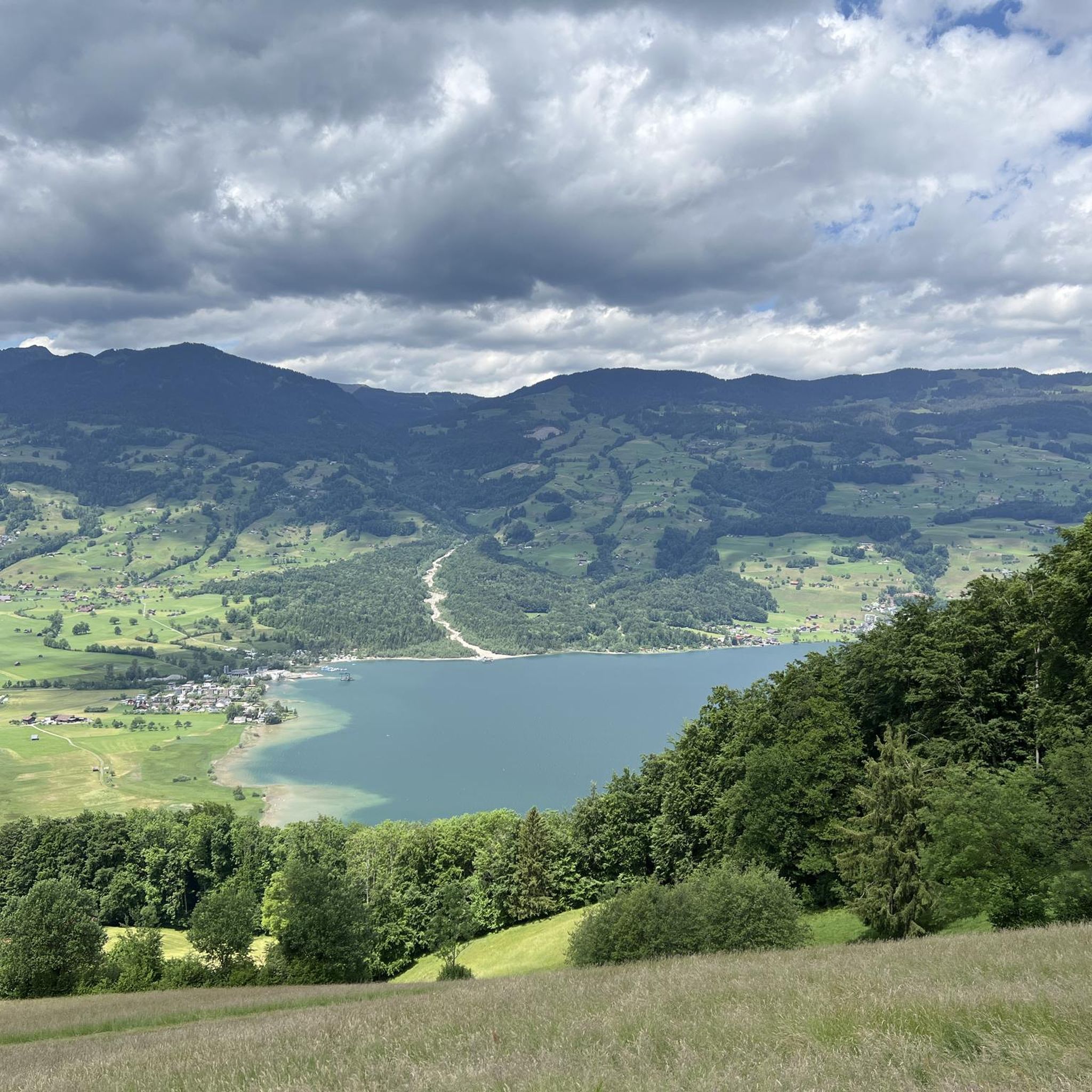
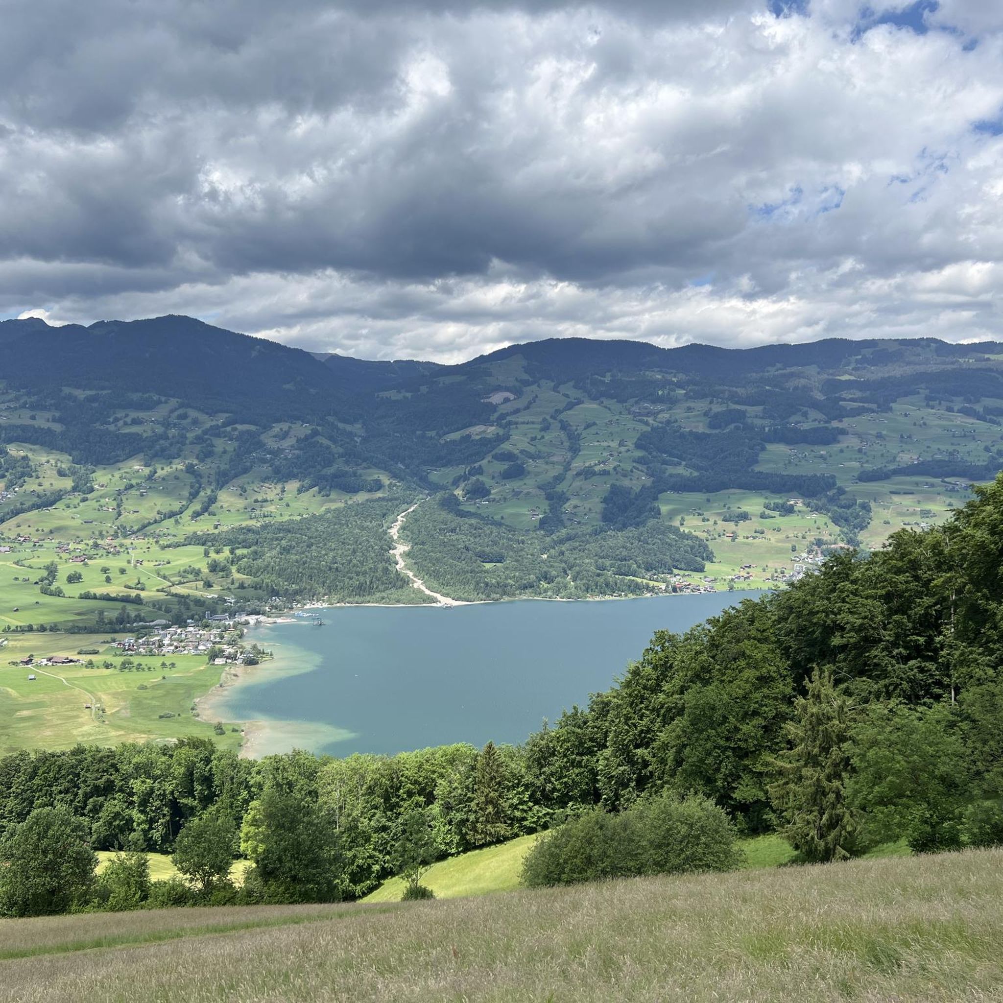
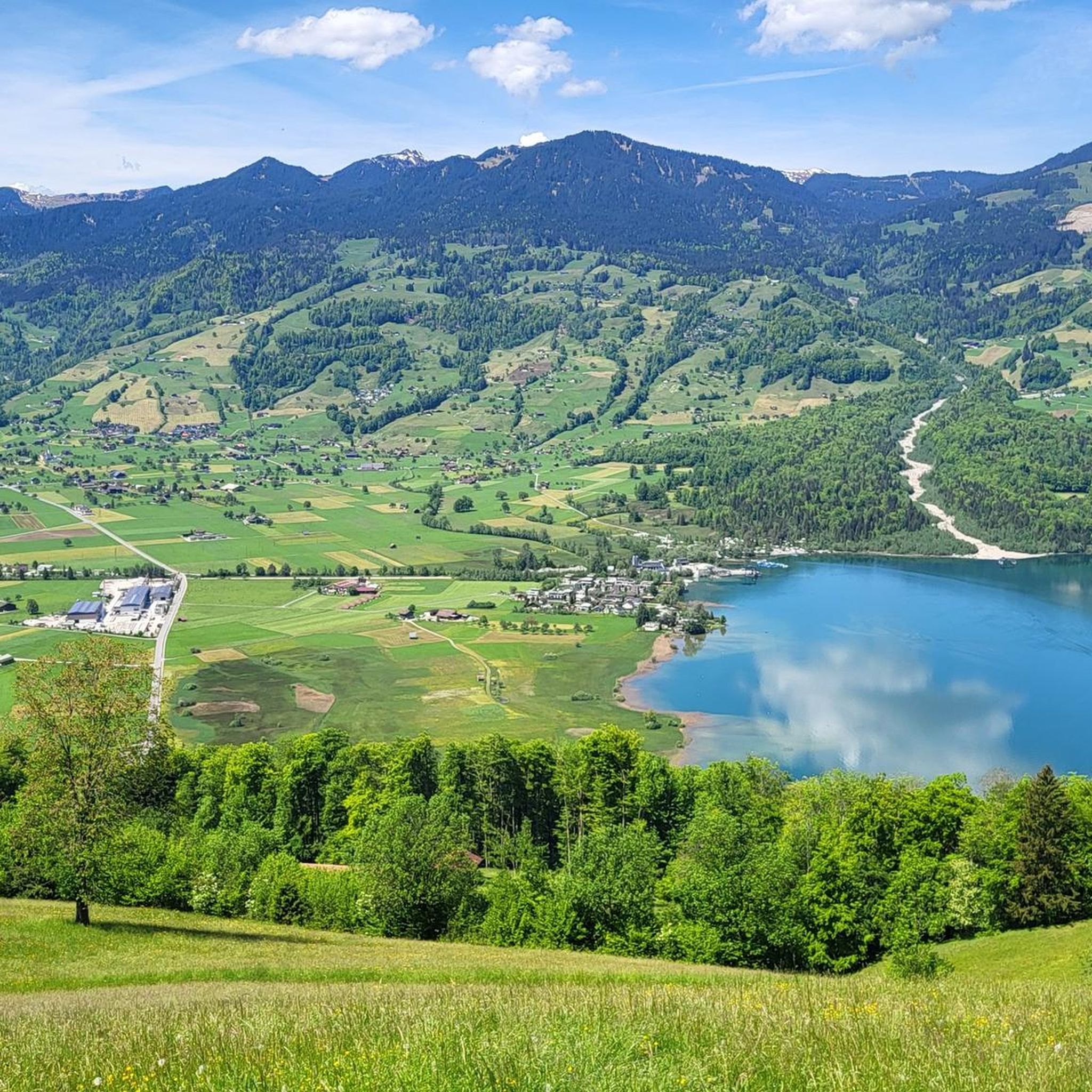
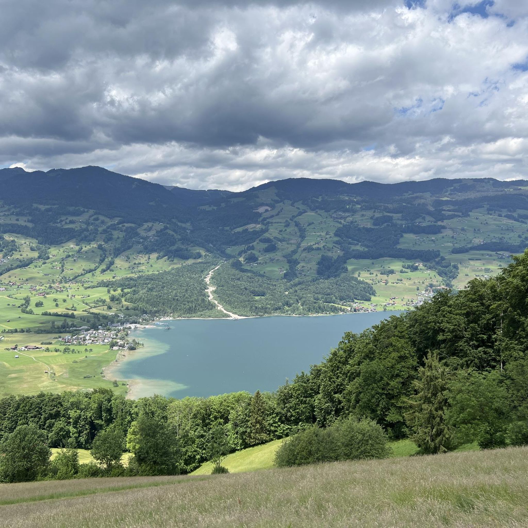
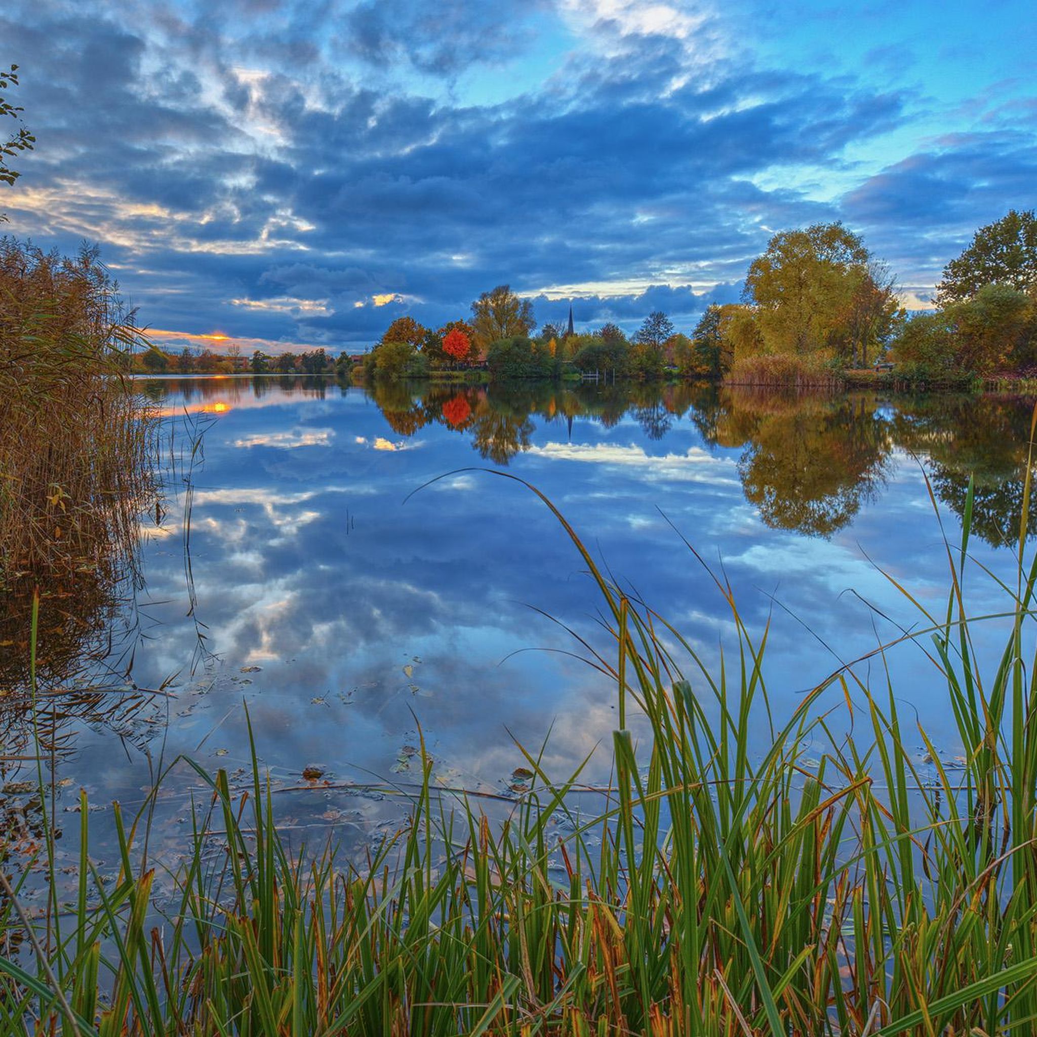
最後の氷河期の後、ザルン湖は現在のフィアヴァルトシュテッター湖の一部でした
0
0

A small mountain pass between the cantons of Obwalden, from Giswil and Lucerne to Sörenberg. The route is narrow on the Obwalden side and in places only single-track, stretching with a very constant gradient of 8 to 12% over meadow slopes and forest up to the highest point. From the Lucerne side, starting at the Brienz Rothorn cable car valley station, it is also only two-track. The highest point is somewhat unspectacular, situated in the sparse mountain forest at the foot of a rock face; the actual pass summit is somewhat lower on the Lucerne side, where there is also a small kiosk.
0
0
It's almost impossible not to see the Swiss Alps here :-) The panoramic road certainly lives up to its name.
0
0
The eastern slope of the Glaubenberg Pass offers wonderful views time and again – better enjoyed on the ascent than on the descent!
0
0
Coming from Oberwilen, the road becomes increasingly narrow and is now just one lane wide. The bridge looks like it might need to be replaced after heavy mudslides...
0
0
A small mountain pass between the cantons of Obwalden and Lucerne, from Giswil to Sörenberg. The route is narrow on the Obwalden side and in places only single-track, stretching at a very constant gradient of 8 to 12% over meadow slopes and forest up to the highest point. From the Lucerne side, starting at the Brienz Rothorn cable car valley station, it is also only two-track. The highest point is somewhat unspectacular, situated in the sparse mountain forest at the foot of a rock face; the actual pass summit is somewhat lower on the Lucerne side, where there is also a small kiosk.
0
0
The eastern approach to Glaubenberg is much more developed than the northwest approach from Entlebuch. From Sarnen via Stalden, the road is a good two-lane and wide, with a mostly moderate gradient.
0
0

komootモバイルアプリでインスピレーションを得よう


