ザクセルンのおすすめランニングルート
4.3
(27)
1,906
ランナー
36
ランニング
ザクセルンでランニングを楽しめば、このエリアをより深く知ることができます。ランニングに適した美しいルートが見つかるように、komootがザクセルンでのルートのコレクション全体を評価して選び抜いた、人気ランニングトレイルをご紹介します。ルートをクリックして詳細を表示し、他のユーザーがアップロードした役立つ情報や写真を閲覧しましょう。
最終更新日: 10月 14, 2026
4.5
(2)
786
ランナー
26.3km
02:52
160m
160m
難しいジョギング. 標準以上のフィットネスレベルが必要です。 全般的に舗装された状態です。あらゆるスキルレベルに適しています。
4.8
(4)
211
ランナー
9.88km
01:04
20m
20m
中程度のジョギング. ある程度のフィットネスレベルが必要です。 全般的に舗装された状態です。あらゆるスキルレベルに適しています。

5.0
(1)
95
ランナー
9.33km
01:02
30m
30m
中程度のジョギング. ある程度のフィットネスレベルが必要です。 全般的に舗装された状態です。あらゆるスキルレベルに適しています。
4.0
(2)
91
ランナー
6.92km
00:44
20m
20m
中程度のジョギング. ある程度のフィットネスレベルが必要です。 全般的に舗装された状態です。あらゆるスキルレベルに適しています。
4.0
(2)
44
ランナー
14.3km
01:39
40m
40m
中程度のジョギング. ある程度のフィットネスレベルが必要です。 全般的に舗装された状態です。あらゆるスキルレベルに適しています。
さらに多くのルートや他のユーザーのおすすめ情報を確認できます。
すでにアカウントをお持ちですか?
おすすめのツアーは他のkomootユーザーが実際に経験した何千ものアクティビティに基づいています。






コミュニティからのヒント

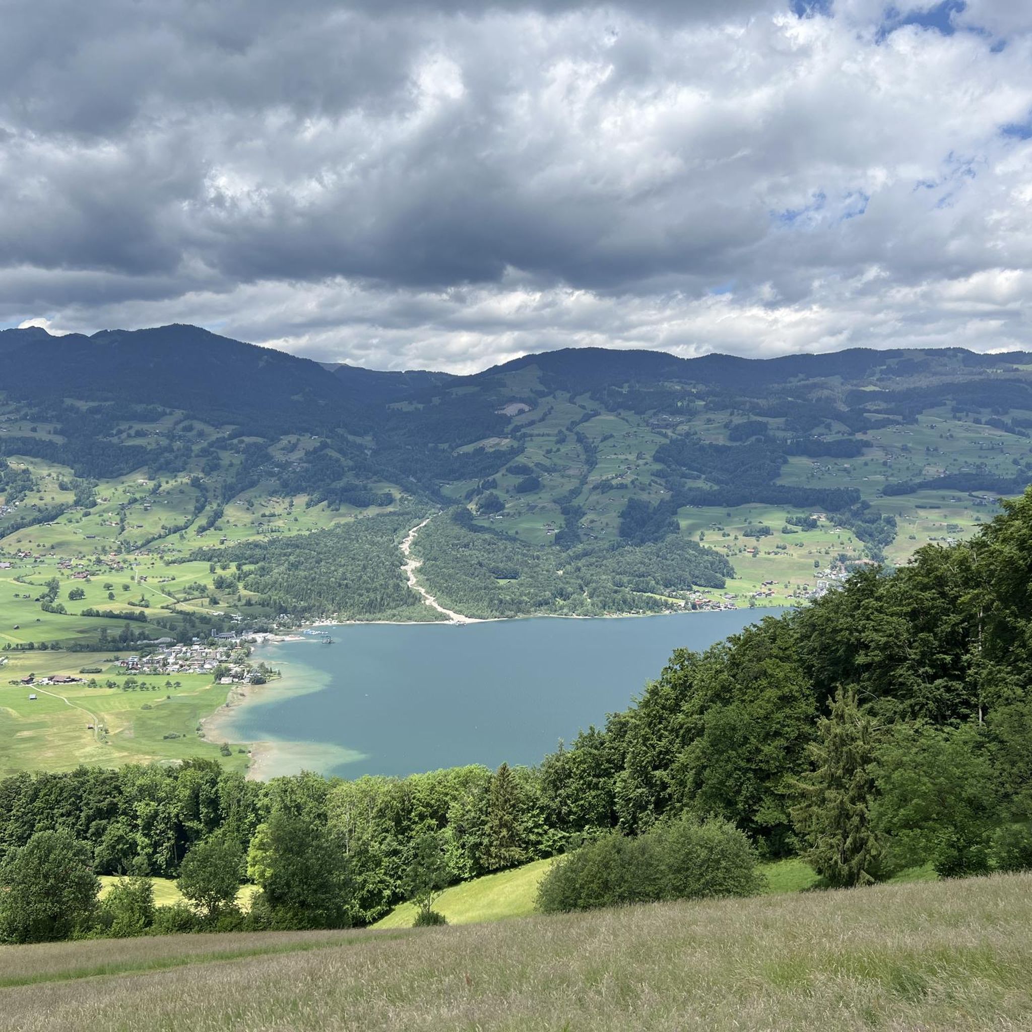
Sarnersee The Sarnersee is the largest lake in the canton of Obwalden. It is located in the area of the municipalities of Sarnen, Sachseln and Giswil. The lake, which lies 469 meters above sea level, is fed by the Grosse Melchaa, the Dreiwässerkanal and the Sarner Aa, among others. The latter flows out of the lake at the northern end near Sarnen before flowing into the Alpnachersee at the valley exit. The Sarnersee is a good six kilometers long, between one and one and a half kilometers wide and thus has an area of approximately 7.5 square kilometers. Text / Source: Schweizersee.ch https://www.schweizersee.ch/sarnersee/
13
0
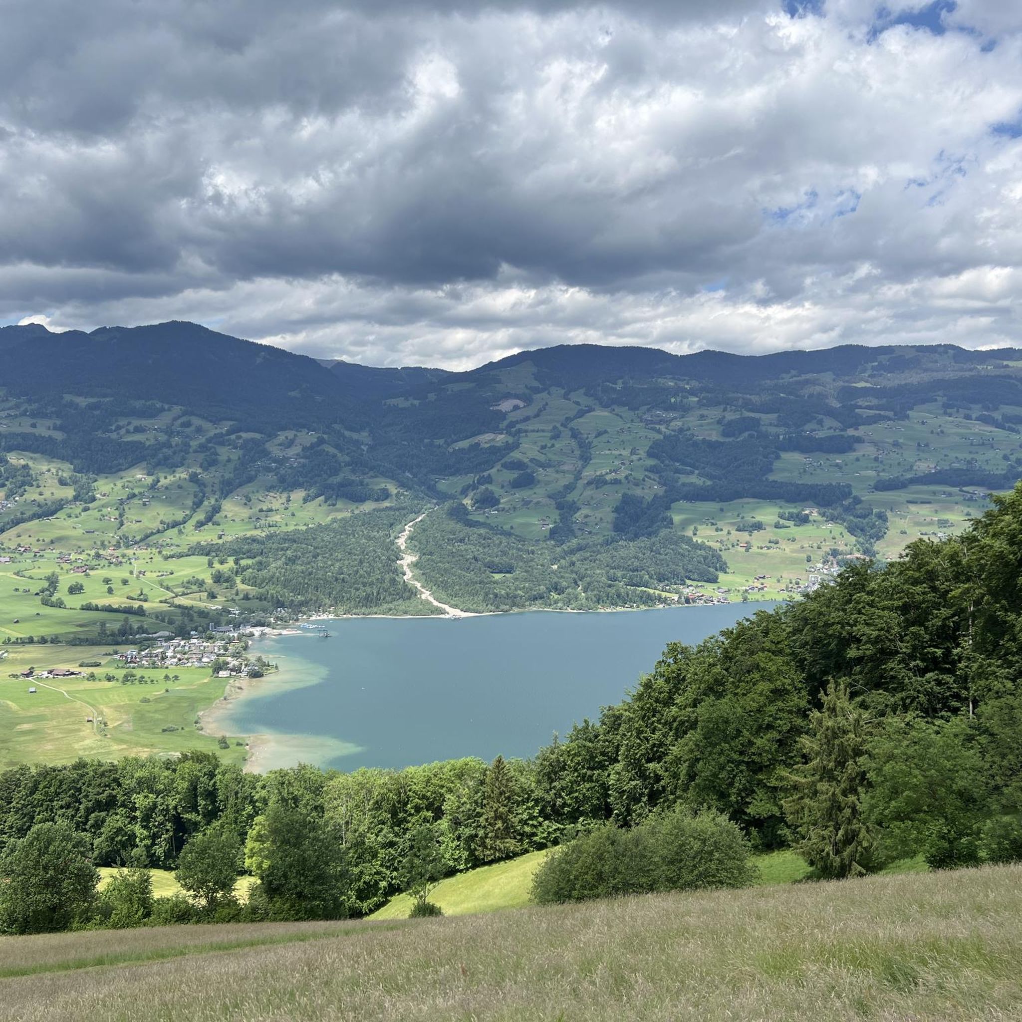
Sarnersee The Sarnersee is the largest lake in the canton of Obwalden. It is located in the area of the municipalities of Sarnen, Sachseln and Giswil. The lake, which lies 469 meters above sea level, is fed by the Grosse Melchaa, the Dreiwässerkanal and the Sarner Aa, among others. The latter flows out of the lake at the northern end near Sarnen before flowing into the Alpnachersee at the valley exit. The Sarnersee is a good six kilometers long, between one and one and a half kilometers wide and thus has an area of approximately 7.5 square kilometers. Text / Source: Schweizersee.ch https://www.schweizersee.ch/sarnersee/
13
0

From here you can enjoy panoramic views of Lake Sarnen, framed by lush forests and rolling mountains. The peaceful blue of the lake contrasts beautifully with its green valley setting, giving you a perfect vantage point to admire the picturesque Swiss landscape.
0
0

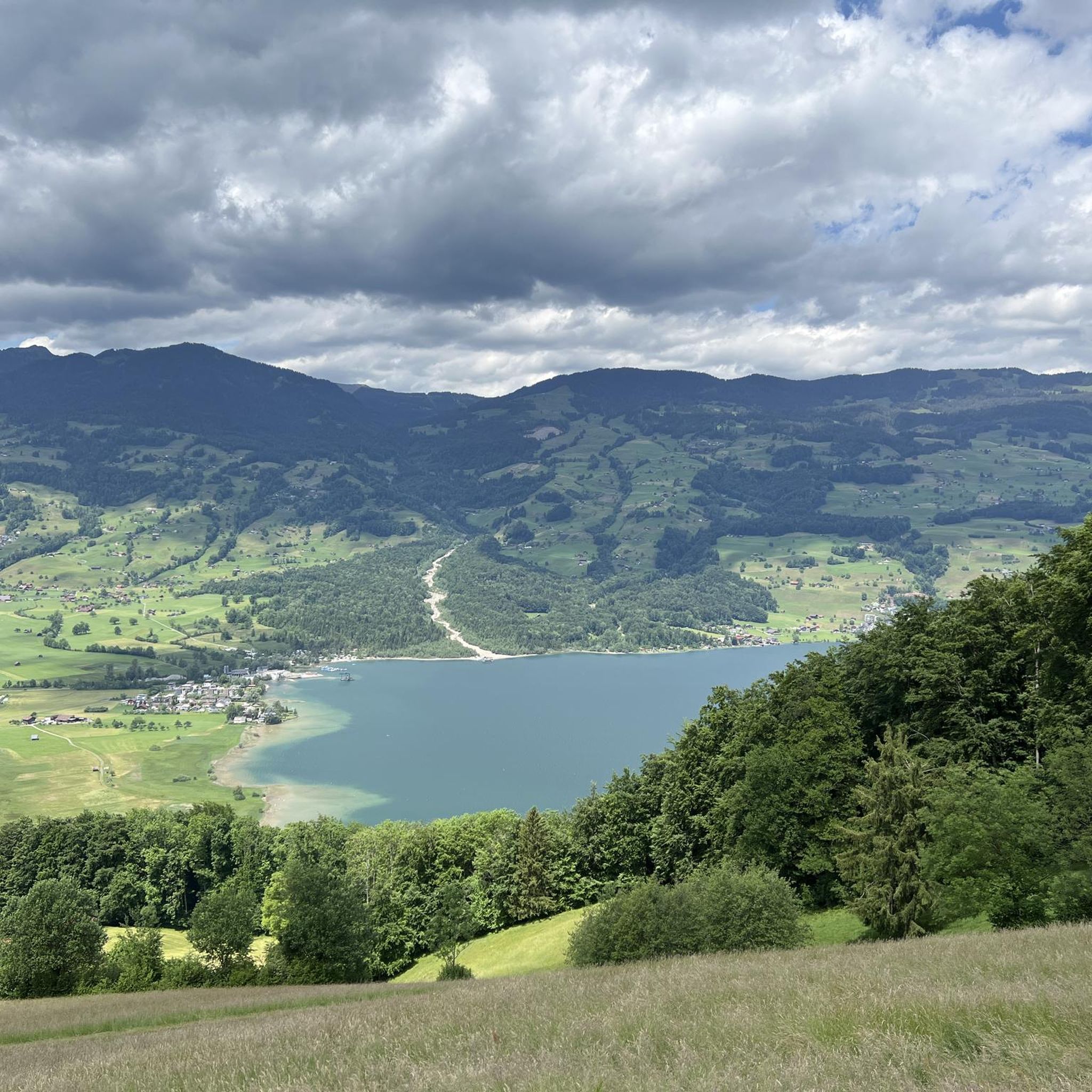
Lake Sarnen is a lake in the heart of Oblalden
1
0
Beautiful renatured stream. It's great for cooling down after a run.
1
0


A beautifully landscaped lake. From the height it looks like a pearl with its blue-green color. There are many recreational opportunities here.
0
0

komootモバイルアプリでインスピレーションを得よう


