ジンデルスドルフのおすすめ登山&山歩きルート
4.7
(498)
5,313
ハイカー
89
ハイキング
ヴァイルハイム・ショーンガウの山々をもっと探索しませんか?このガイドでご紹介するのは、komootがジンデルスドルフでの登山&山歩きのコレクション全体を評価して選び抜いた、このエリアの人気ルートです。あなたに合ったルートを見つけるには、他のユーザーがアップロードした役立つ情報や写真を閲覧し、クリック操作で簡単に表示できる詳細なデータを参考にしましょう。ジンデルスドルフでの次の冒険にぴったりの登山&山歩きルートが見つかるはずです。
最終更新日: 8月 28, 2026
4.6
(10)
87
ハイカー
18.5km
06:25
820m
820m
難しい登山ルート. 標準以上のフィットネスレベルが必要です。 全般的に進みやすいルートです。安定して歩行できる技術が必要です。
4.6
(7)
80
ハイカー
8.64km
03:58
610m
610m
中程度の登山ルート. ある程度のフィットネスレベルが必要です。 全般的に進みやすいルートです。安定して歩行できる技術が必要です。

無料新規登録
4.8
(6)
60
ハイカー
12.9km
04:50
750m
750m
中程度の登山ルート. ある程度のフィットネスレベルが必要です。 全般的に進みやすいルートです。安定して歩行できる技術が必要です。
5.0
(2)
21
ハイカー
12.7km
06:01
940m
940m
難しい登山ルート. 標準以上のフィットネスレベルが必要です。 安定して歩行できる技術、丈夫な靴、高標高地での登山経験が必要です。
28
ハイカー
11.0km
02:52
80m
80m
中程度の登山ルート. ある程度のフィットネスレベルが必要です。 進みやすいルートです。あらゆるスキルレベルに適しています。
さらに多くのルートや他のユーザーのおすすめ情報を確認できます。
無料新規登録
すでにアカウントをお持ちですか?
おすすめのツアーは他のkomootユーザーが実際に経験した何千ものアクティビティに基づいています。
無料アカウントで今日から始めよう
次の冒険が待っています。
ログインまたは登録
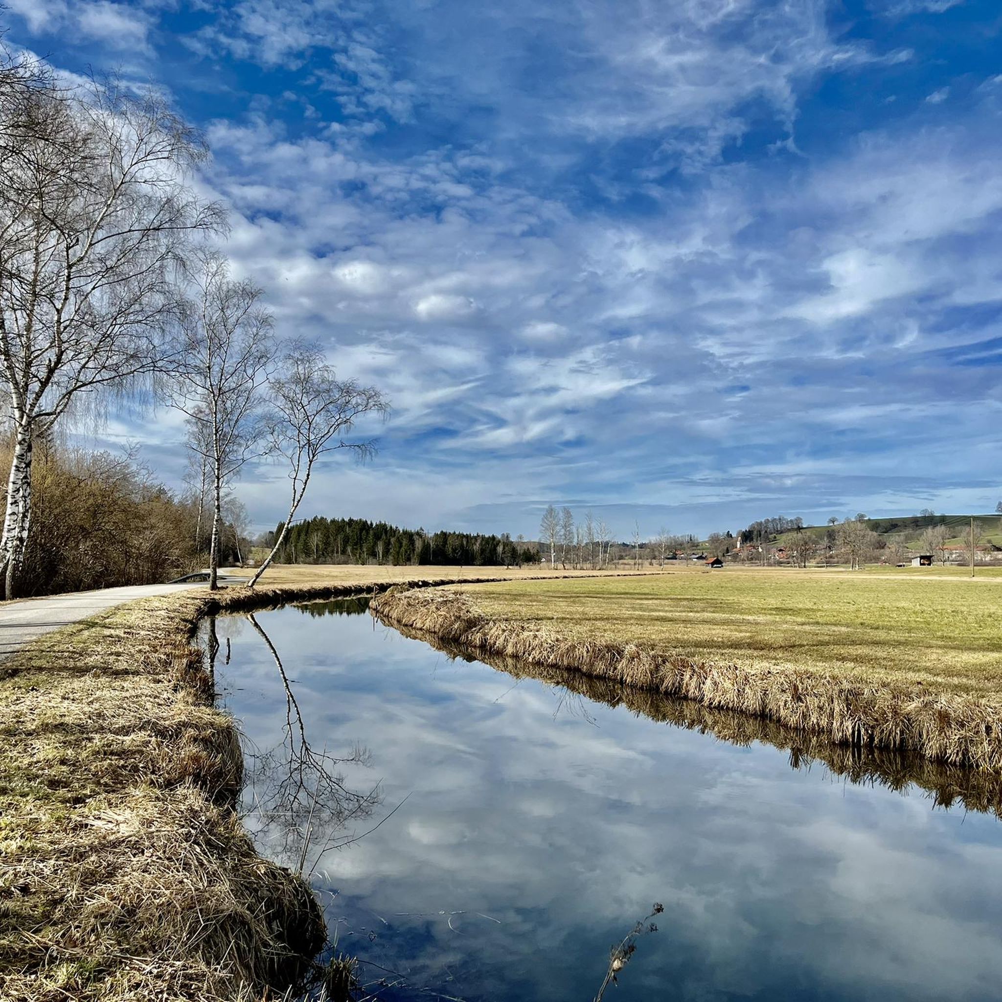
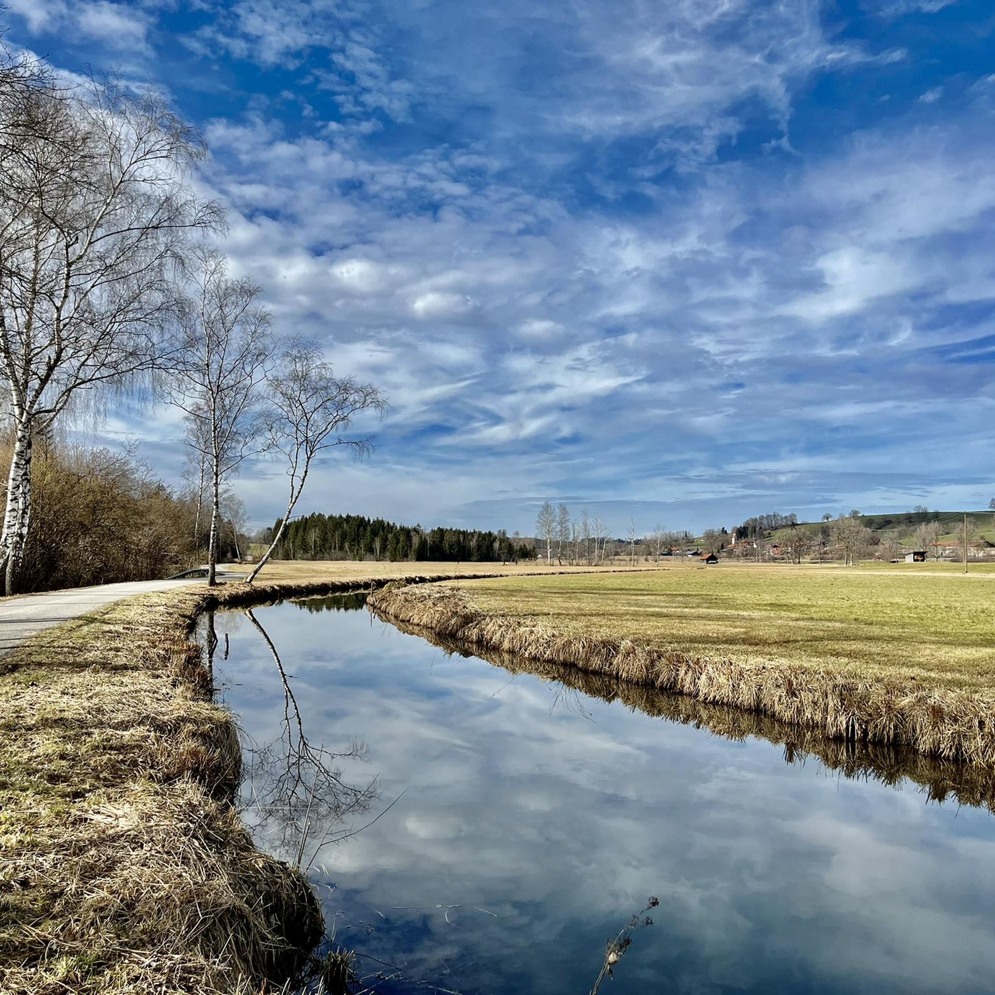
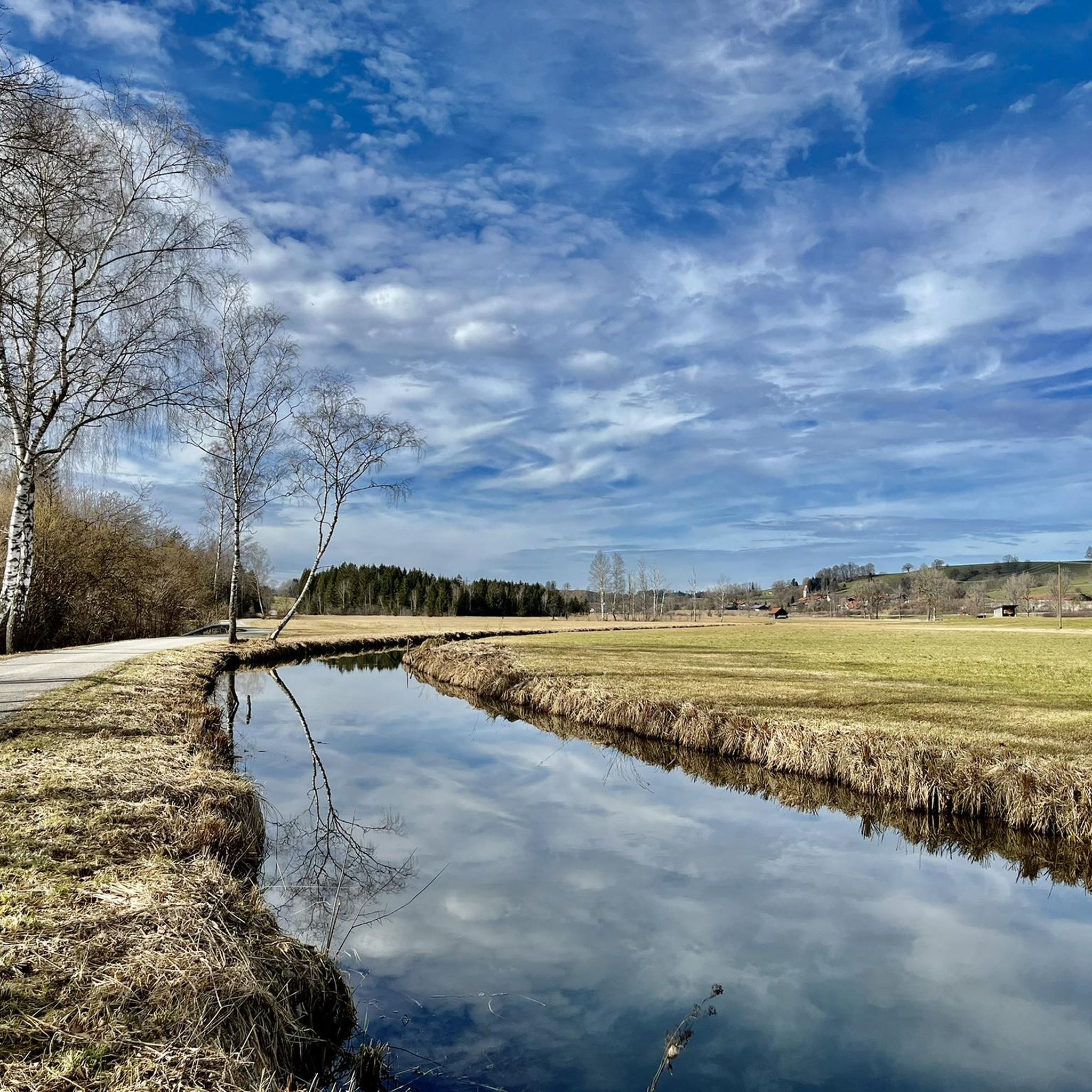
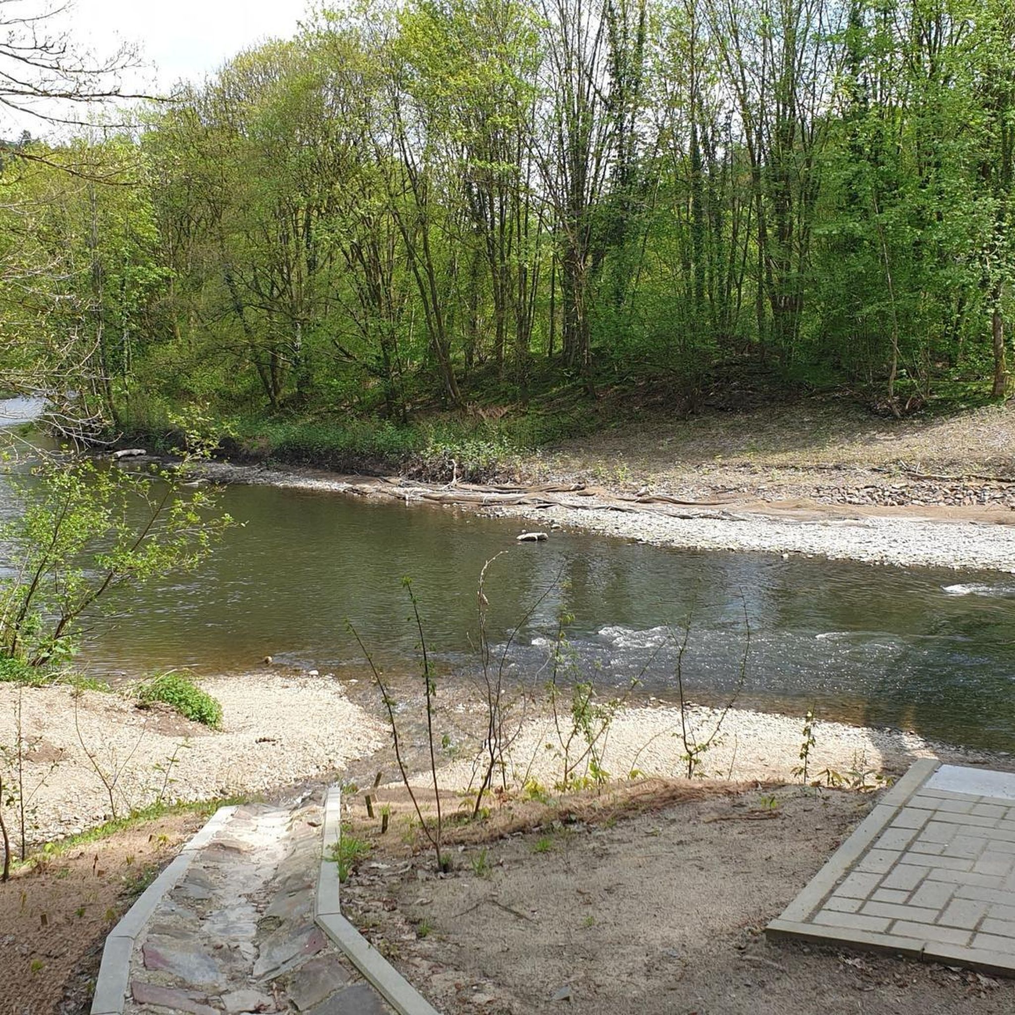
コミュニティからのヒント

非常に美しいハイキングで、森の遊泳場とフォーンゼーシュテューベルでの休憩場所があります 💦😎👍🥨🍻
0
0

非常に狭く、やりがいがあります。私には難しすぎます。
0
0


...so this is the cable car for materials. You can ride your mountain bike up to here, then continue on foot.
0
0

The Benediktenwand (mentioned as early as 1300 as montem sancti Benedicti, colloquially Benewand) is an 1800 m high mountain ridge in the Bavarian Prealps between the Loisach and Isar rivers, the Jachenau in the south, and the Benediktbeuern Monastery in the north, from which it takes its name. The first summit cross was erected in 1877. This was preceded by a vow made by four woodcutters in October 1876, when snow depths of two meters threatened to undo their year's work. They would erect the largest mountain cross by far if the weather improved soon on St. James's Day 1877. The erection became a joint effort with the local fire department and has remained a tradition – reinforced by the Mountain Accident Service (Bergwacht) founded in 1927. In 1897, 1919, 1930, 1958, and 2023 Renovations were necessary. ...
0
1

beautiful view over the lakes to the mountains
1
0


Beautiful nature around the Osterseen.
1
0

komootモバイルアプリでインスピレーションを得よう


さらに探索
他の地域の最高の登山ハイキング & ルートを見てみましょう。
