キーフェルスフェルデンのおすすめ登山&山歩きルート
4.5
(39)
471
ハイカー
24
ハイキング
ローゼンハイムの山々をもっと探索しませんか?このガイドでご紹介するのは、komootがキーフェルスフェルデンでの登山&山歩きのコレクション全体を評価して選び抜いた、このエリアの人気ルートです。あなたに合ったルートを見つけるには、他のユーザーがアップロードした役立つ情報や写真を閲覧し、クリック操作で簡単に表示できる詳細なデータを参考にしましょう。キーフェルスフェルデンでの次の冒険にぴったりの登山&山歩きルートが見つかるはずです。
最終更新日: 9月 14, 2026
4.6
(10)
151
ハイカー
12.5km
05:08
920m
920m
難しい登山ルート. 標準以上のフィットネスレベルが必要です。 安定して歩行できる技術、丈夫な靴、高標高地での登山経験が必要です。
4.5
(8)
61
ハイカー
難しい登山ルート. 標準以上のフィットネスレベルが必要です。 安定して歩行できる技術、丈夫な靴、高標高地での登山経験が必要です。

5.0
(3)
40
ハイカー
5.25km
01:39
190m
190m
初級者向け登山ルート. あらゆるフィットネスレベルに適しています。 進みやすいルートです。あらゆるスキルレベルに適しています。
22
ハイカー
3.72km
01:08
120m
120m
初級者向け登山ルート. あらゆるフィットネスレベルに適しています。 進みやすいルートです。あらゆるスキルレベルに適しています。
5.0
(2)
16
ハイカー
21.4km
07:55
1,120m
1,120m
難しい登山ルート. 標準以上のフィットネスレベルが必要です。 安定して歩行できる技術、丈夫な靴、高標高地での登山経験が必要です。
さらに多くのルートや他のユーザーのおすすめ情報を確認できます。
すでにアカウントをお持ちですか?
おすすめのツアーは他のkomootユーザーが実際に経験した何千ものアクティビティに基づいています。
無料アカウントで今日から始めよう
次の冒険が待っています。

キーフェルスフェルデンでのの他の冒険

コミュニティからのヒント

A very well-secured via ferrata that takes you from the Brünnsteinhaus up to the summit in half an hour.
0
0
The Brünnstein is a beautiful panoramic peak in the Bavarian Prealps. Located above the Brünnstein Hut, an easy and very well-secured via ferrata leads to the summit. It can even be traversed, making it a worthwhile circular hike.
0
0

At the end of the gorge is the Gießenbach hydroelectric power plant, which has been in operation since the early 20th century. It harnesses the power of the Gießenbach River to generate environmentally friendly electricity. The plant is an example of how natural energy sources can be used sustainably without compromising the beauty of the landscape. Thus, the Gießenbach Gorge impressively combines nature and technological history.
1
0
The covered wooden bridge over the Gießenbach stream near the Schopperalm is a charming and characteristic feature on the hiking route through the Gießenbach Gorge – especially on the way back to the farms around the Trojerhof.
1
0
Those crossing this bridge experience a transition between two sections of the hike: from the alpine pasture and the open terrain back into the forest and up to the meadows and pastures surrounding the Trojerhof. The bridge marks not only a geographical location, but also a change of atmosphere – the sound of the stream beneath the planks, the wooden roofs overhead, the feeling of protection from rain or strong sun.
1
0
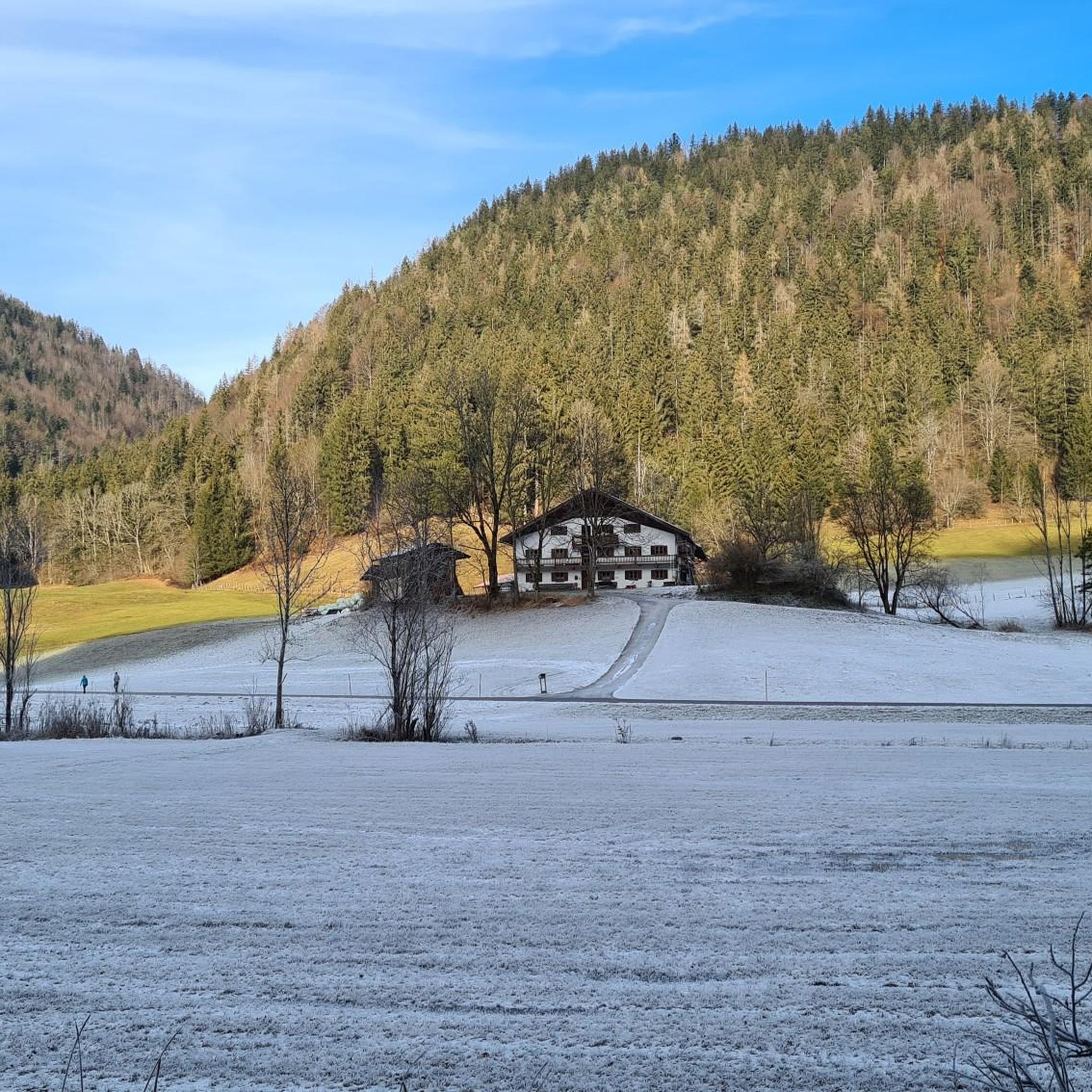
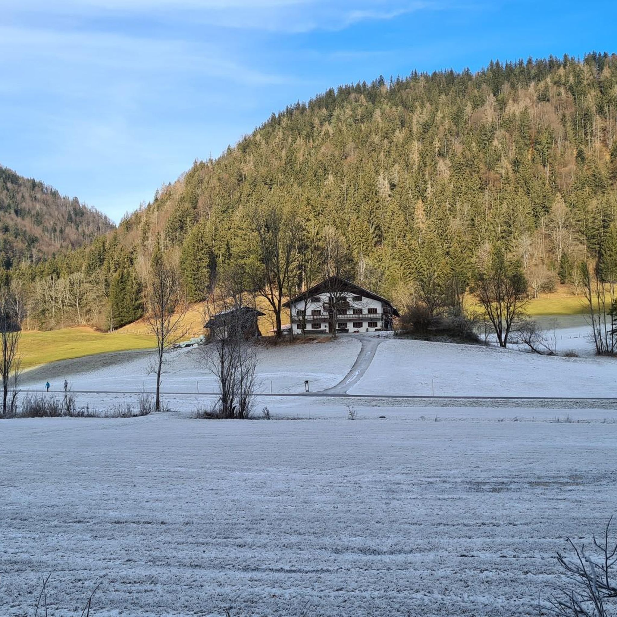
The Trojerhof, one of Bavaria's oldest mountain farms, is a place steeped in history, idyllic charm, and authenticity. About 5 kilometers outside Kiefersfelden, on a high plateau at an altitude of 656 meters near the German-Austrian border, it sits in a secluded location above the Inn Valley, nestled amidst meadows and forests, with sweeping views of the Wilder Kaiser. The history of the Trojerhof stretches back a long way. The field name "Troi" is of Celtic origin and means "cattle path"—there is evidence of settlements here as early as 500 BC. As early as 1140, the farm was mentioned in a ducal register of taxes as "ab dem Trayen," with tributes such as a measure of oats. Over the centuries, the main building has been altered several times: The current main building dates back to 1689, after the old farm burned down. In the meantime, an outbuilding (the so-called "Zuhaus") was built in 1742. The Marienkapelle (St. Mary's Chapel), a striking building on the farm, dates back to 1649 and has survived the ages. Today, the Trojerhof farm is a living monument to rural tradition. It is an organic mountain farm with an alpine atmosphere, with livestock (cows, sheep, etc.), forestry, and the preservation of the old farm structures. The location and access are also distinctive: an approximately 800-meter-long mountain road with gradients of up to 25% leads up. In winter, the path is difficult, and snow chains or four-wheel drive vehicles are often necessary.
2
0
Below Brünnstein lies the Himmelmoosalm, a quiet, beautiful spot with sweeping views over the Inn Valley. For many years, it was run with heart and dedication by dairymaid Anni. Her friendly nature and her love for the animals and the alpine pasture have shaped this place.
1
0
The Brünnstein is a striking mountain in the Bavarian Prealps, located west of Oberaudorf in the Rosenheim district. At 1,634 meters, it may not be a giant, but it offers impressive views and a true mountain experience – ideal for hikers, climbers, and nature lovers. The Brünnstein is part of the Mangfall Mountains and rises just north of the Austrian border. From its summit, a magnificent view opens up over the Inn Valley, the Zillertal and Kitzbühel Alps, and as far as the Kaiser Mountains. The contrast between the gently forested slopes in the north and the rocky, rugged summits is particularly charming.
1
0

komootモバイルアプリでインスピレーションを得よう


さらに探索
他の地域の最高の登山ハイキング & ルートを見てみましょう。
