ヴァルトクライブルクのおすすめランニングルート
4.3
(53)
855
ランナー
94
ランニング
ヴァルトクライブルクでランニングを楽しめば、このエリアをより深く知ることができます。ランニングに適した美しいルートが見つかるように、komootがヴァルトクライブルクでのルートのコレクション全体を評価して選び抜いた、人気ランニングトレイルをご紹介します。ルートをクリックして詳細を表示し、他のユーザーがアップロードした役立つ情報や写真を閲覧しましょう。
最終更新日: 9月 11, 2026
4.0
(2)
39
ランナー
6.26km
00:39
10m
10m
中程度のジョギング. ある程度のフィットネスレベルが必要です。 全般的に舗装された状態です。あらゆるスキルレベルに適しています。
51
ランナー
8.74km
00:56
50m
50m
中程度のジョギング. ある程度のフィットネスレベルが必要です。 全般的に舗装された状態です。あらゆるスキルレベルに適しています。

4.5
(2)
30
ランナー
14.9km
01:35
130m
130m
中程度のジョギング. ある程度のフィットネスレベルが必要です。 全般的に舗装された状態です。あらゆるスキルレベルに適しています。
4.5
(2)
17
ランナー
15.2km
01:35
60m
60m
難しいジョギング. 標準以上のフィットネスレベルが必要です。 全般的に舗装された状態です。あらゆるスキルレベルに適しています。
14
ランナー
12.9km
01:21
40m
40m
中程度のジョギング. ある程度のフィットネスレベルが必要です。 全般的に舗装された状態です。あらゆるスキルレベルに適しています。
さらに多くのルートや他のユーザーのおすすめ情報を確認できます。
すでにアカウントをお持ちですか?
おすすめのツアーは他のkomootユーザーが実際に経験した何千ものアクティビティに基づいています。

コミュニティからのヒント

A beautiful church
3
0


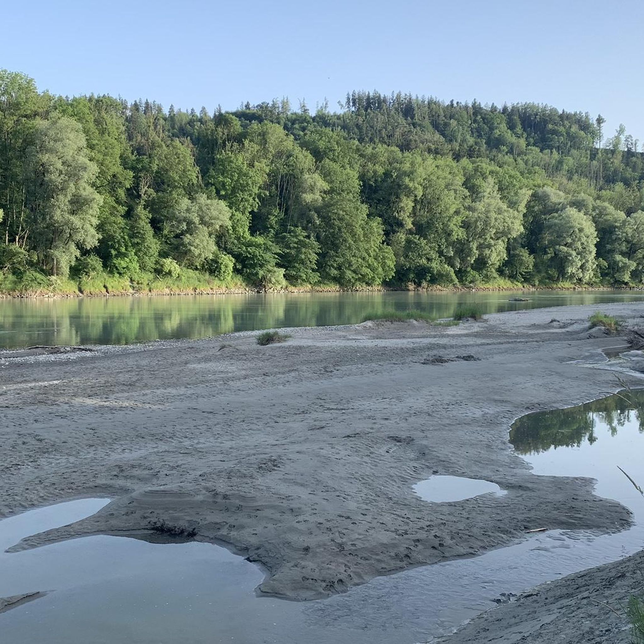
The Inn Canal is a 22.8 kilometer long [1] works canal for feeding the Töging hydropower station, which is derived from the Inn to the north at the Jettenbacher weir and flows into the river southeast of Töging. The diversion section of the Inn is 31.5 kilometers long. https://de.wikipedia.org/wiki/Innkanal
5
0

Unfortunately the weir is being renewed and cannot be viewed.
0
0

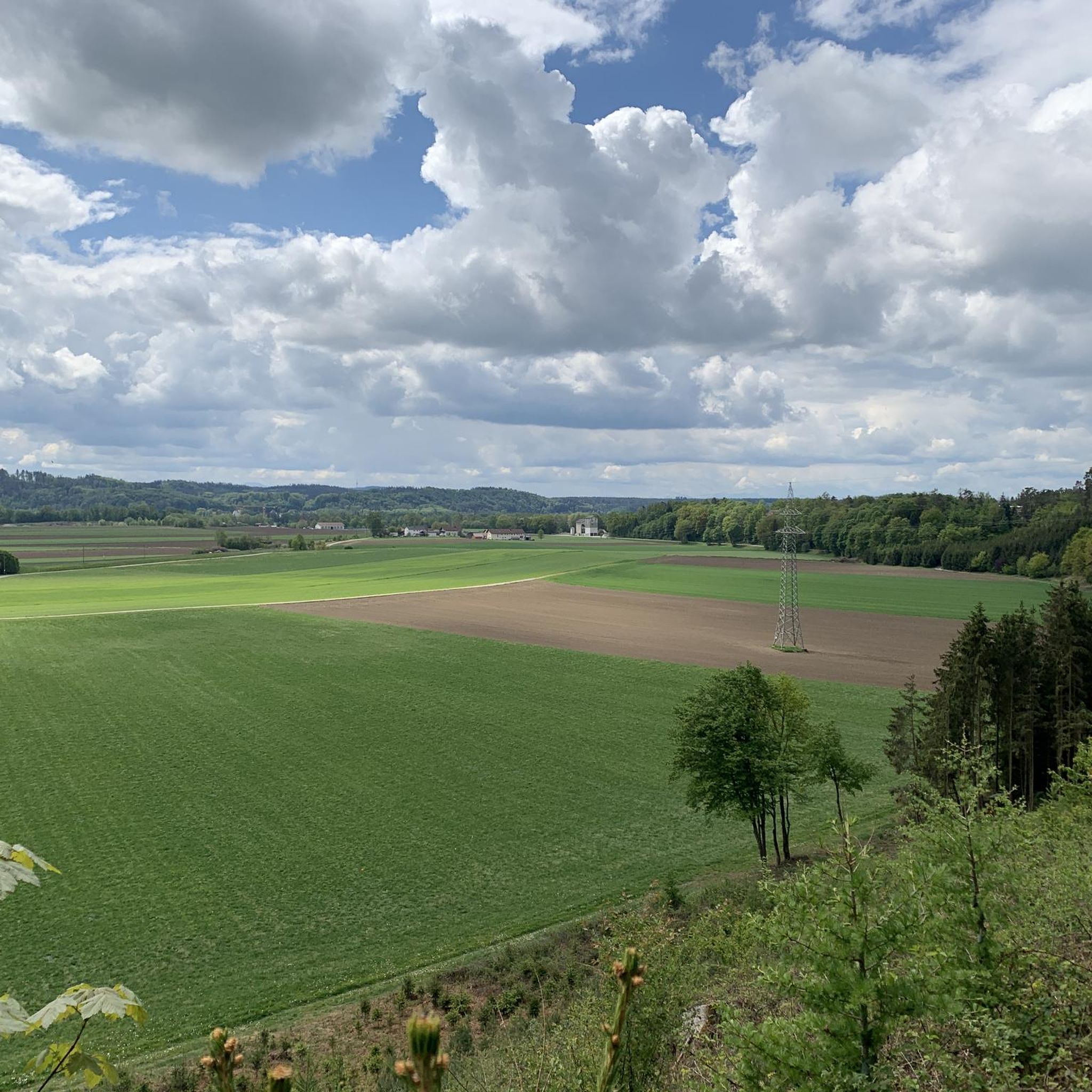
heavenly location, just right for a church.
1
0
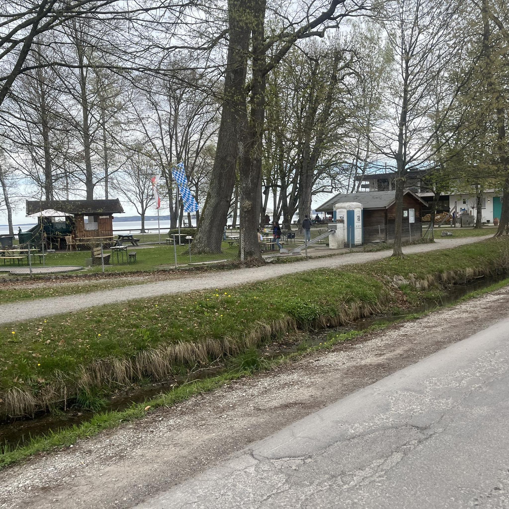
the location is nice, the brewery less. Drinking more beer would save it from decay. However, there is a good looking restaurant (currently not accessible due to Corona).
2
0
Nice quiet way from Jettenbach to Kraiburg.
1
0
ヴァルトクライブルクでのの人気観光スポット

komootモバイルアプリでインスピレーションを得よう


さらに探索
他の地域の最高のランニングトレイル & ルートを見てみましょう。
