バリーダウンファインのおすすめウォーキング&ハイキングルート
4.4
(298)
5,155
ハイカー
243
ハイキング
バリーダウンファイン 周辺でおすすめのハイキングやウォーキングを楽しんでいただけるように、このエリアの小径やルートを集めたkomootコレクション全体を見直しました。 以下で各ルートの詳細をご覧になり、バリーダウンファイン周辺の大自然を満喫する際の参考にしてください。
最終更新日: 11月 9, 2026
3.3
(3)
71
ハイカー
8.46km
02:14
70m
70m
中程度のハイキング. ある程度のフィットネスレベルが必要です。 歩きやすい道です。

5.0
(1)
33
ハイカー
6.03km
01:37
70m
70m
初級者向けハイキング. 歩きやすい道です。
4.0
(4)
16
ハイカー
17.1km
04:27
120m
120m
中程度のハイキング. ある程度のフィットネスレベルが必要です。 歩きやすい道です。
3.5
(4)
30
ハイカー
6.53km
01:42
40m
40m
初級者向けハイキング. 歩きやすい道です。
さらに多くのルートや他のユーザーのおすすめ情報を確認できます。
すでにアカウントをお持ちですか?
おすすめのツアーは他のkomootユーザーが実際に経験した何千ものアクティビティに基づいています。
無料アカウントで今日から始めよう
次の冒険が待っています。

コミュニティからのヒント


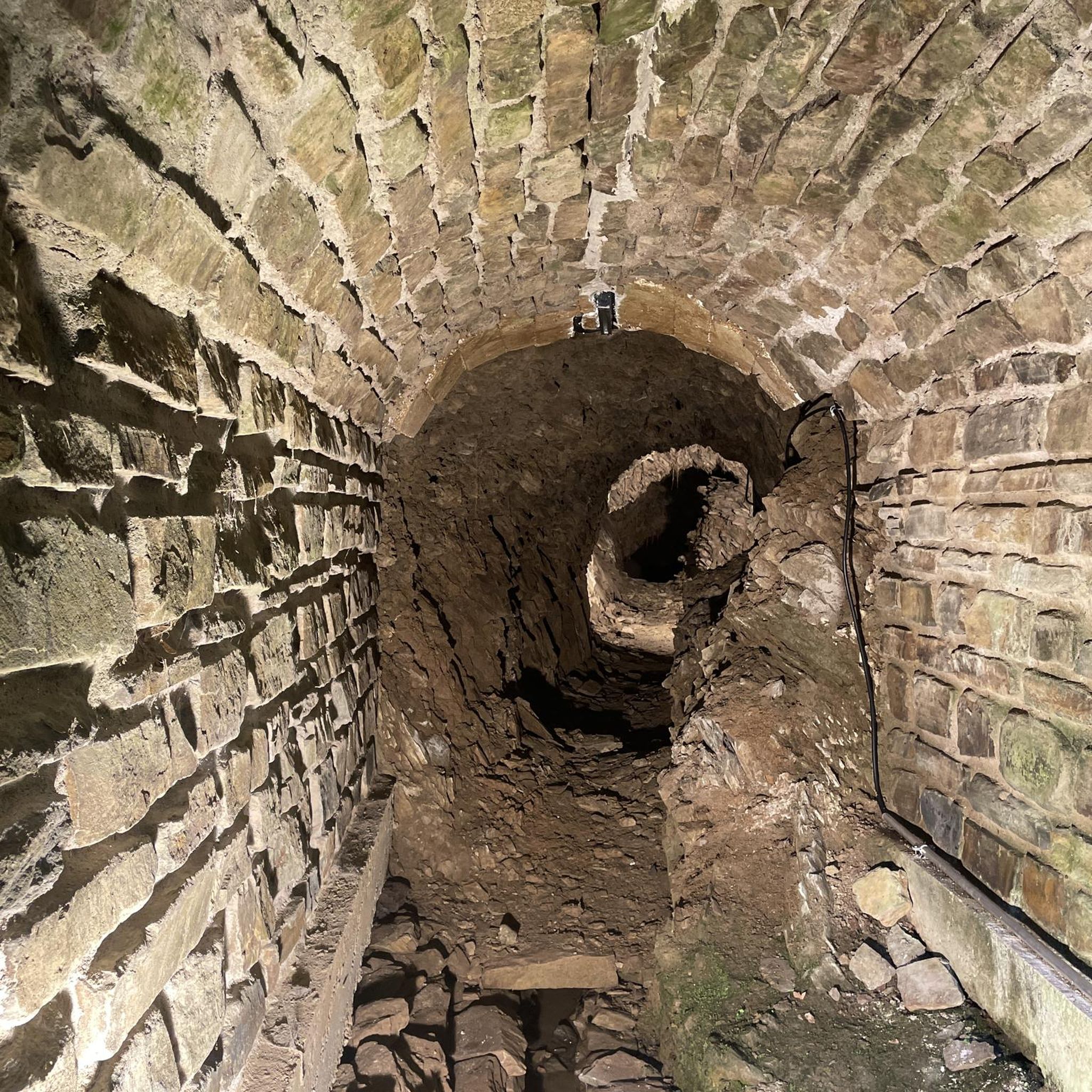
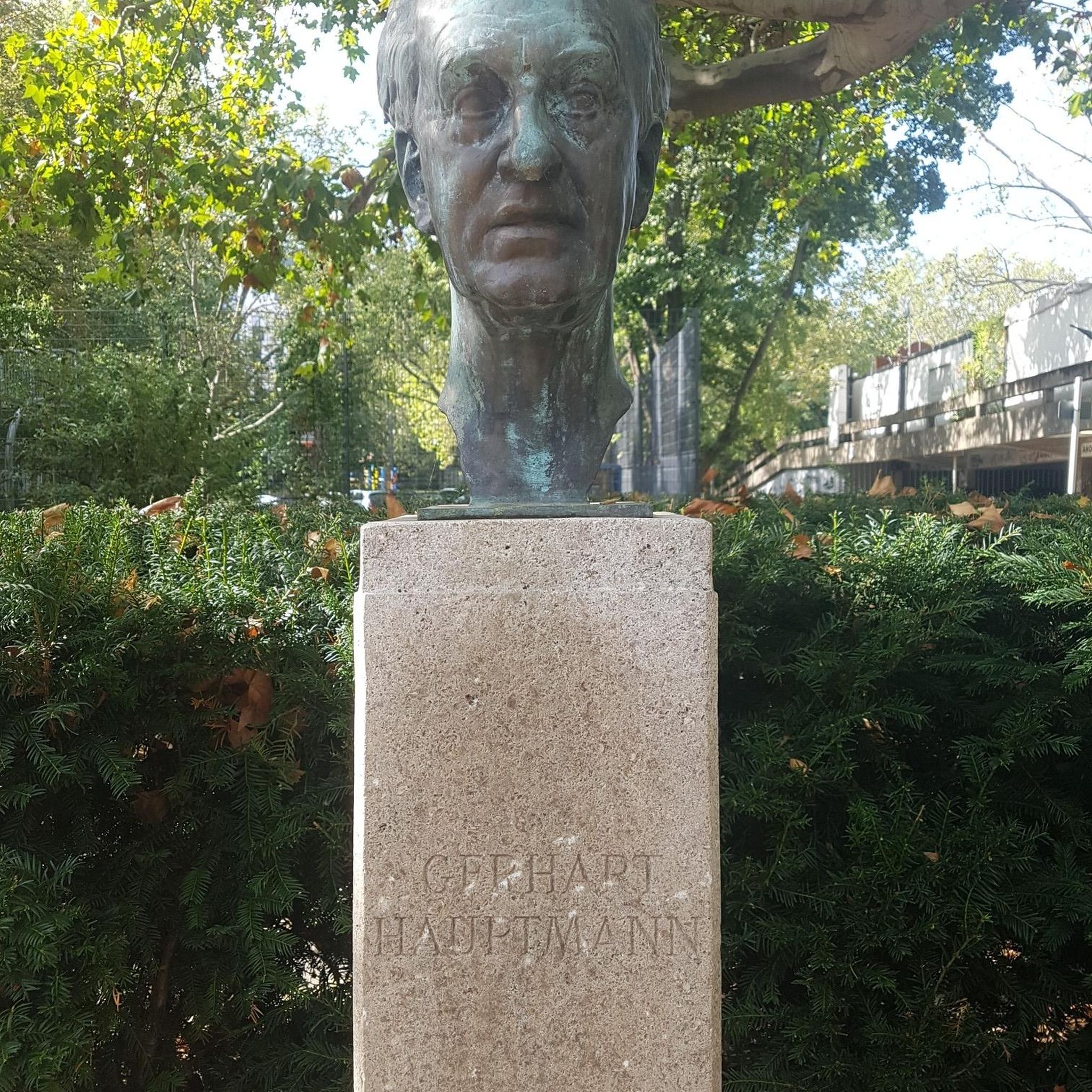
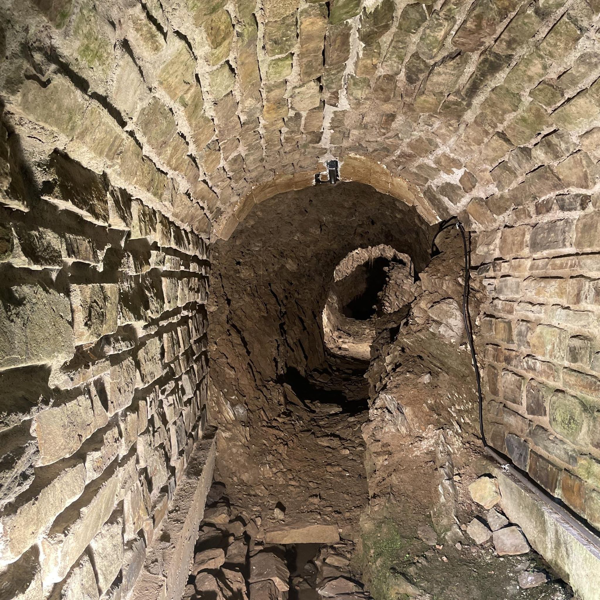
The bridge is named after Captain John Shaw of Oliver Cromwell's army, who built an oak bridge here in 1655. A stone bridge was built by Thomas Burgh in 1691, although this was destroyed by flooding, which led to it being replaced by the present bridge in 1709.
3
0
Canoeing route in the whitewater rapids of the Lagan river
2
0
The structure consists of a circular earthen ring with a diameter of 180 m and an area of 28,000 square meters, surrounded by an earthen rampart 3.5 m high. At least three of the five irregularly distributed gaps in the ring are intentional and possibly original. East of the center of the ring is a small passage grave with a westward-facing entrance.
4
0


There is probably no better way to get to Belfast city centre by bike.
1
0
バリーダウンファインでのの人気観光スポット

komootモバイルアプリでインスピレーションを得よう


さらに探索
他の地域の最高のハイキングを見てみましょう。
