タリーブラニガンのおすすめウォーキング&ハイキングルート
4.6
(1359)
11,161
ハイカー
224
ハイキング
タリーブラニガン 周辺でおすすめのハイキングやウォーキングを楽しんでいただけるように、このエリアの小径やルートを集めたkomootコレクション全体を見直しました。 以下で各ルートの詳細をご覧になり、タリーブラニガン周辺の大自然を満喫する際の参考にしてください。
最終更新日: 10月 18, 2026
5.0
(4)
26
ハイカー
21.2km
05:22
40m
40m
Embark on the Newcastle Way, a difficult hiking route that stretches for 13.2 miles (21.2 km) and involves a modest 138 feet (42 metres) of elevation gain. This trail offers…
4.8
(29)
148
ハイカー
19.9km
06:13
670m
670m
難しいハイキング. 標準以上のフィットネスレベルが必要です。 全般的に進みやすいルートです。安定して歩行できる技術が必要です。

4.8
(6)
63
ハイカー
8.80km
02:23
120m
120m
中程度のハイキング. ある程度のフィットネスレベルが必要です。 進みやすいルートです。あらゆるスキルレベルに適しています。
4.6
(5)
65
ハイカー
6.27km
01:37
40m
40m
初級者向けハイキング. あらゆるフィットネスレベルに適しています。 進みやすいルートです。あらゆるスキルレベルに適しています。
5.0
(2)
49
ハイカー
7.18km
02:16
240m
230m
中程度のハイキング. ある程度のフィットネスレベルが必要です。 全般的に進みやすいルートです。安定して歩行できる技術が必要です。
さらに多くのルートや他のユーザーのおすすめ情報を確認できます。
すでにアカウントをお持ちですか?
おすすめのツアーは他のkomootユーザーが実際に経験した何千ものアクティビティに基づいています。
無料アカウントで今日から始めよう
次の冒険が待っています。
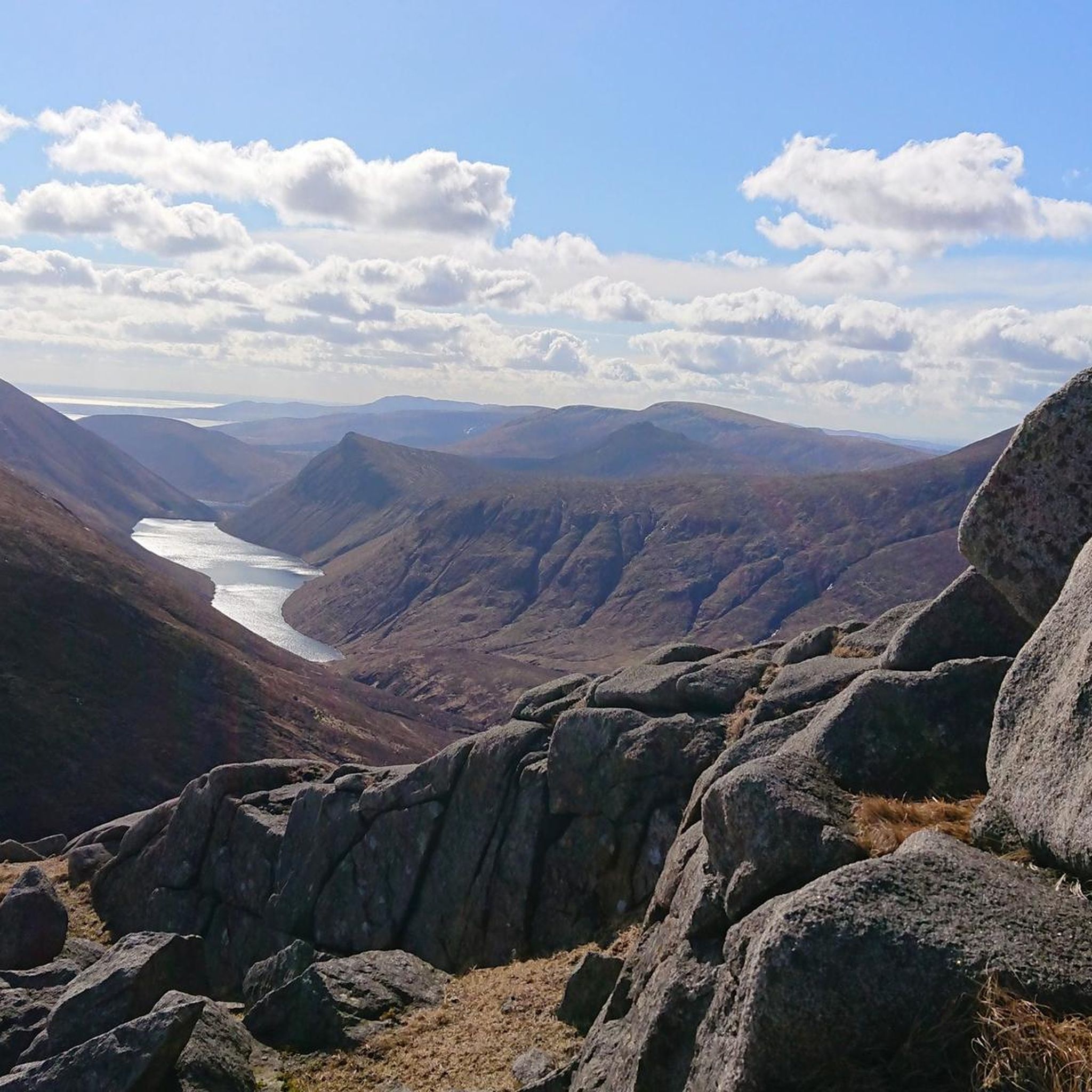
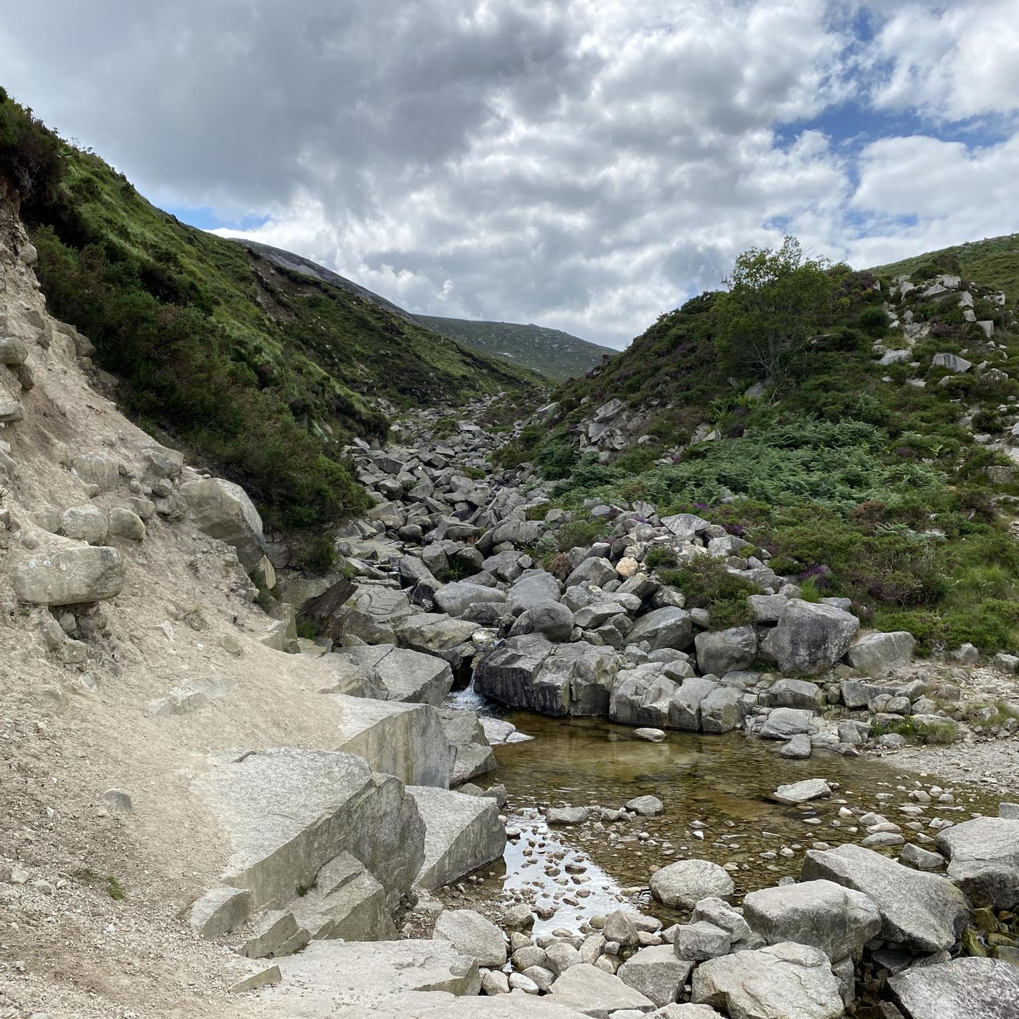
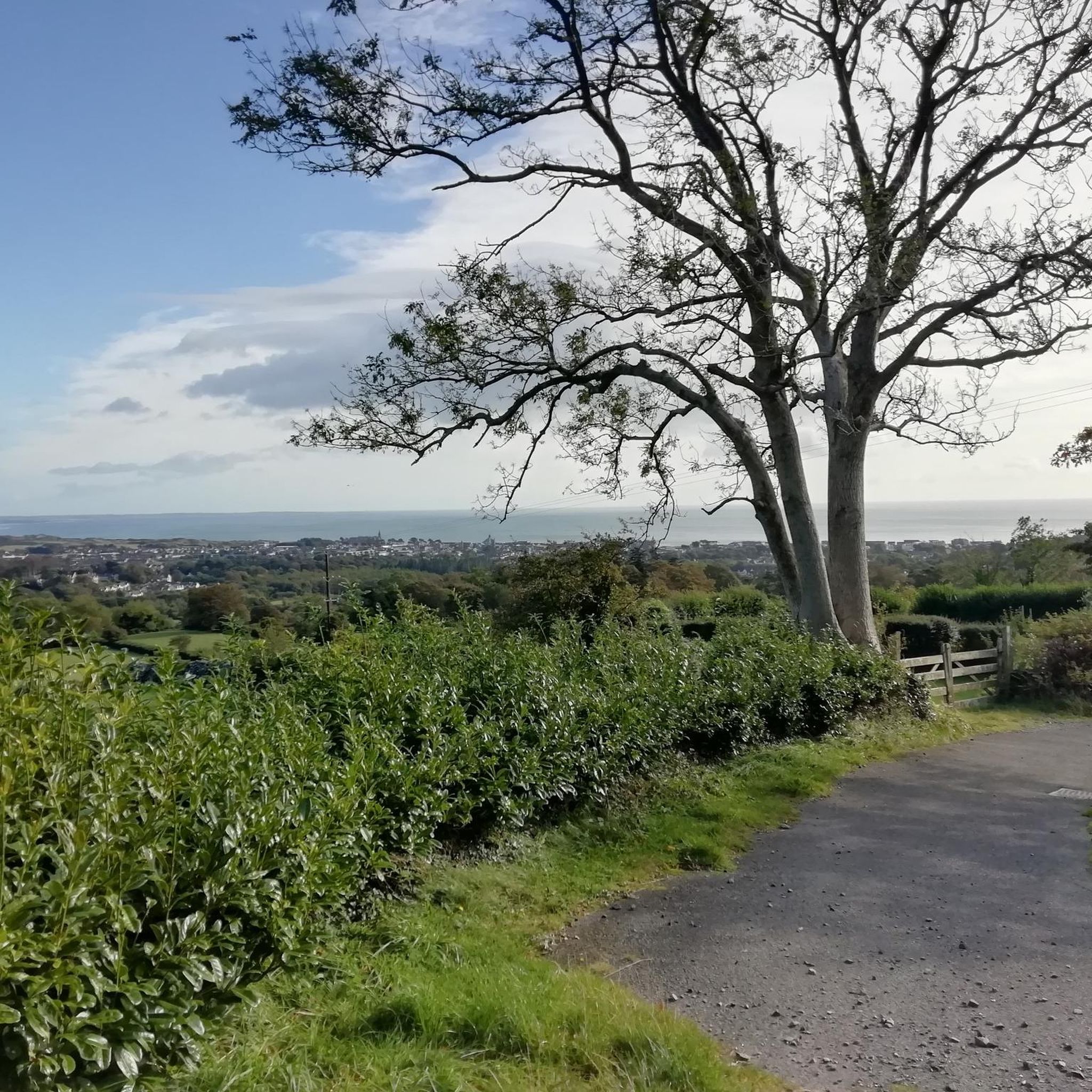
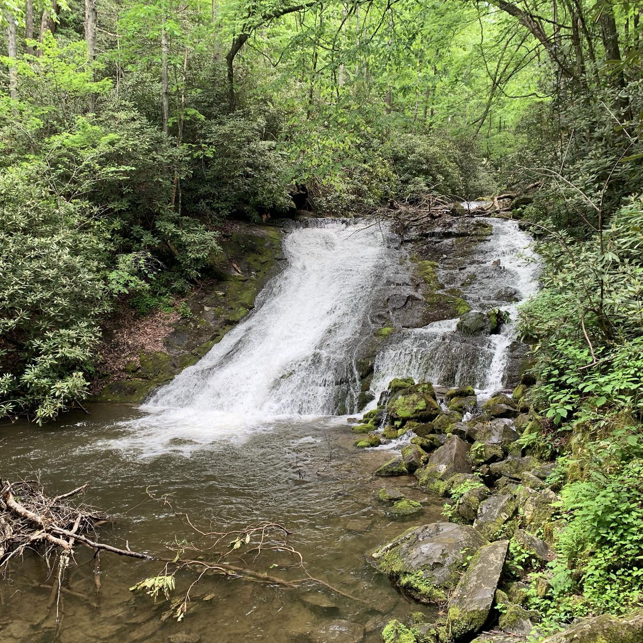
コミュニティからのヒント

Wikipedia (Tollymore Forest Park, 2026-08-15): https://en.m.wikipedia.org/wiki/Tollymore_Forest_Park 「…アイビー橋は1780年に建設され、フォリーズ橋は1787年に建設されました。...」
2
0
飛び石は現在フェンスで囲まれています。島名川を渡るには、近くの橋をご利用ください。
2
0
Wikipedia(Tollymore Forest Park、2026-08-14): https://en.m.wikipedia.org/wiki/Tollymore_Forest_Park 「…パーネル橋は、18世紀後半にトリーモアを訪れたジョン・パーネル卿を記念して名付けられ、1842年に建設されました。トリーモアで最後に建設された石橋でした…」
2
0
ウィキペディア (Tollymore Forest Park, 2026-08-14): https://en.m.wikipedia.org/wiki/Tollymore_Forest_Park 「... ハーミテージは、ジェームズ・ハミルトン(第2代クランブラシル伯爵)が1770年代に、友人のジョン・モンタギュー、モンザーマー侯爵を偲んで設計した小さな石造りの避難所です。川の上の峡谷の斜面に建てられており、男性が釣りをする間、女性が避難する場所として使われていました。ハーミテージ内にはギリシャ語の碑文があり、「クランブラシルから、親愛なる友人モンザーマーへ 1770年」と訳されています。...」
2
0


The small, historic port provides a charming setting with views of the Mourne Mountains and the sea. The promenade is well maintained and is great for a relaxing cruise along the coast. However, it can get quite busy in good weather and at weekends, which can slow down the journey. A highlight is the proximity to Murlough National Nature Reserve, which is just a few kilometers away and is ideal for further exploration. Note, however, that some sections of the promenade can be slippery when wet, so care must be taken.
1
0

Super nice break spot
0
0
タリーブラニガンでのの人気観光スポット

komootモバイルアプリでインスピレーションを得よう


さらに探索
他の地域の最高のハイキングを見てみましょう。
