ピディングのおすすめ登山&山歩きルート
4.6
(105)
1,121
ハイカー
15
ハイキング
ベルヒテスガーデナーランドの山々をもっと探索しませんか?このガイドでご紹介するのは、komootがピディングでの登山&山歩きのコレクション全体を評価して選び抜いた、このエリアの人気ルートです。あなたに合ったルートを見つけるには、他のユーザーがアップロードした役立つ情報や写真を閲覧し、クリック操作で簡単に表示できる詳細なデータを参考にしましょう。ピディングでの次の冒険にぴったりの登山&山歩きルートが見つかるはずです。
最終更新日: 10月 5, 2026
4.9
(57)
482
ハイカー
14.8km
07:19
1,260m
1,260m
難しい登山ルート. 標準以上のフィットネスレベルが必要です。 安定して歩行できる技術、丈夫な靴、高標高地での登山経験が必要です。
5.0
(13)
138
ハイカー
12.5km
07:24
1,200m
1,200m
難しい登山ルート. 標準以上のフィットネスレベルが必要です。 安定して歩行できる技術、丈夫な靴、高標高地での登山経験が必要です。

16
ハイカー
7.74km
03:45
560m
560m
難しい登山ルート. ある程度のフィットネスレベルが必要です。 安定して歩行できる技術、丈夫な靴、高標高地での登山経験が必要です。
5.0
(11)
137
ハイカー
15.6km
07:38
1,320m
1,320m
難しい登山ルート. 標準以上のフィットネスレベルが必要です。 安定して歩行できる技術、丈夫な靴、高標高地での登山経験が必要です。
4.3
(6)
64
ハイカー
11.1km
05:07
810m
810m
難しい登山ルート. 標準以上のフィットネスレベルが必要です。 安定して歩行できる技術、丈夫な靴、高標高地での登山経験が必要です。
さらに多くのルートや他のユーザーのおすすめ情報を確認できます。
すでにアカウントをお持ちですか?
おすすめのツアーは他のkomootユーザーが実際に経験した何千ものアクティビティに基づいています。



コミュニティからのヒント

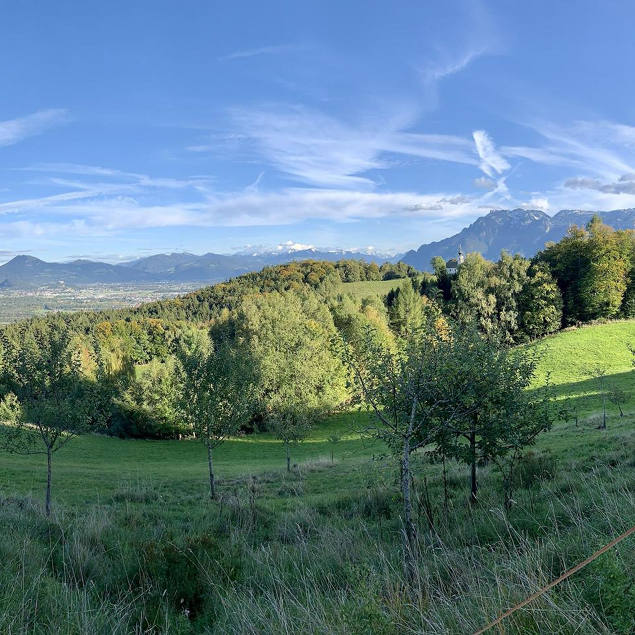
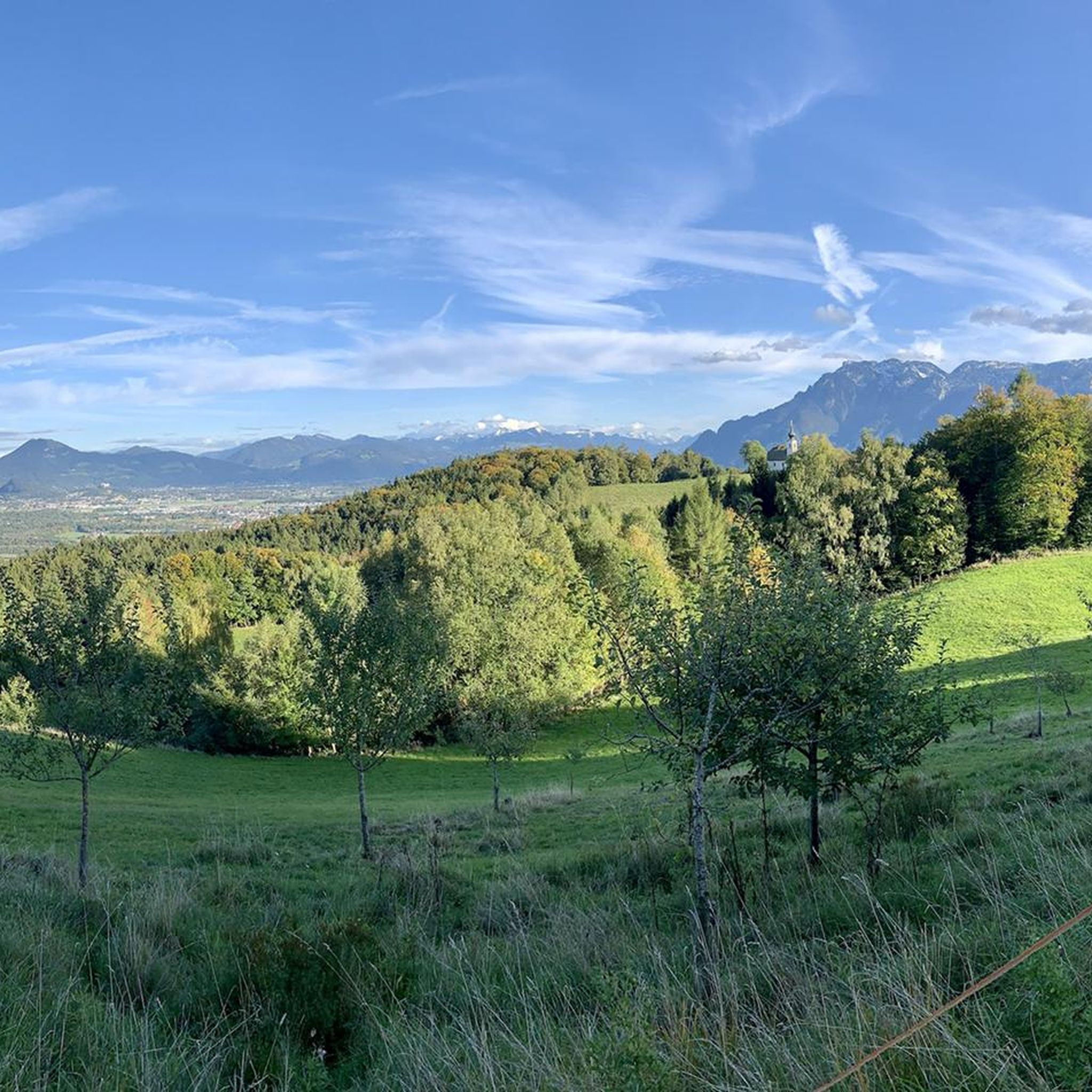
軽い岩場ですが、常に安全だと感じられます。非常に美しく、エキサイティングな道です。
0
0


Beautiful chapel you should look at when you are up there
0
0

The Alpine Garden on the Hochstaufen is located above the Padinger Alm on the way to the summit and was created by the Bad Reichenhall Alpine Club. In this lovingly tended area, hikers can discover a variety of typical alpine plants – from delicate gentian species to alpine roses and rare mountain flowers. Information panels explain the special features of the flora and their adaptation to the harsh living conditions at high altitudes. The Alpine Garden combines nature experiences with educational opportunities and invites hikers to consciously appreciate the diversity of the mountain world before the trail leads further up into the rocky terrain of the Hochstaufen.
1
0
The Steinerne Jäger Trail is a popular but challenging climb up the Hochstaufen near Bad Reichenhall. The trail leads from the Padinger Alm past the striking rocks of the Steinerne Jäger up to the summit, offering varied paths, steep sections, and magnificent views of the valley. Surefootedness and good fitness are required, as the path is narrow and rocky in places. The trail is particularly rewarding due to its diverse landscape—from dense forests and rocky cirques to the open summit area with panoramic views of the Berchtesgaden Alps. The Steinerne Jäger Trail is considered a classic and scenic climb up the Hochstaufen.
1
0
The Reichenhaller Haus is located directly below the summit of the Hochstaufen mountain at approximately 1,750 meters and is a popular stop for hikers and via ferrata climbers. The Alpine Club hut offers a cozy atmosphere, simple overnight accommodations, and a wonderful sun terrace with impressive views over Bad Reichenhall, the Salzach Valley, and as far as Lake Chiemsee. Due to its exposed location, the Reichenhaller Haus is only accessible on foot—either via various mountain trails or the challenging Pidinger Klettersteig (via ferrata). It serves many mountaineers as a rest stop before the final ascent to the summit or as the destination of a scenic day tour.
2
0
The Staufen Chapel stands not far from the summit of the Hochstaufen at an elevation of approximately 1,770 meters and is one of the highest chapels in the Berchtesgadener Land region. It was built in memory of mountaineers who died in mountain accidents and offers a quiet place of contemplation amidst the impressive mountain scenery. The small stone chapel blends harmoniously into the rocky landscape and is a popular destination for hikers and climbers who wish to pause for a moment at the summit of the Hochstaufen. On a clear day, a magnificent view opens up from here over the Saalach Valley to the distant peaks of the Central Alps.
1
0
The Pidinger Klettersteig, also known as the Hochstaufen Klettersteig, is one of the most challenging and popular via ferratas in the Berchtesgaden Alps. It leads to the Hochstaufen (1,771 m), the distinctive local mountain of the municipality of Piding in Bavaria, and offers spectacular views over the Salzach Valley, Lake Chiemsee, and deep into the Alps. The starting point is above the Steiner Alm and can be reached after a steep ascent of approximately 1.5 to 2 hours. The actual via ferrata is approximately 800 meters in elevation and leads over steep rock faces, exposed ridge passages, and airy traverses to the summit. The difficulty is predominantly in the C/D range, with some sections even reaching difficulty level E – thus, the climb is aimed exclusively at experienced and sure-footed mountaineers with very good fitness and complete via ferrata equipment. Characteristic of the Pidinger Klettersteig are its long total ascent time (6–8 hours) and its continuous exposure, making it a true alpine adventure. Those who reach the summit are rewarded with a magnificent panorama – on a clear day, the view stretches from the Watzmann to the Kaiser Mountains.
1
0

komootモバイルアプリでインスピレーションを得よう


さらに探索
他の地域の最高の登山ハイキング & ルートを見てみましょう。
