ゴーティカシェルアッパーのおすすめウォーキング&ハイキングルート
4.5
(31)
336
ハイカー
21
ハイキング
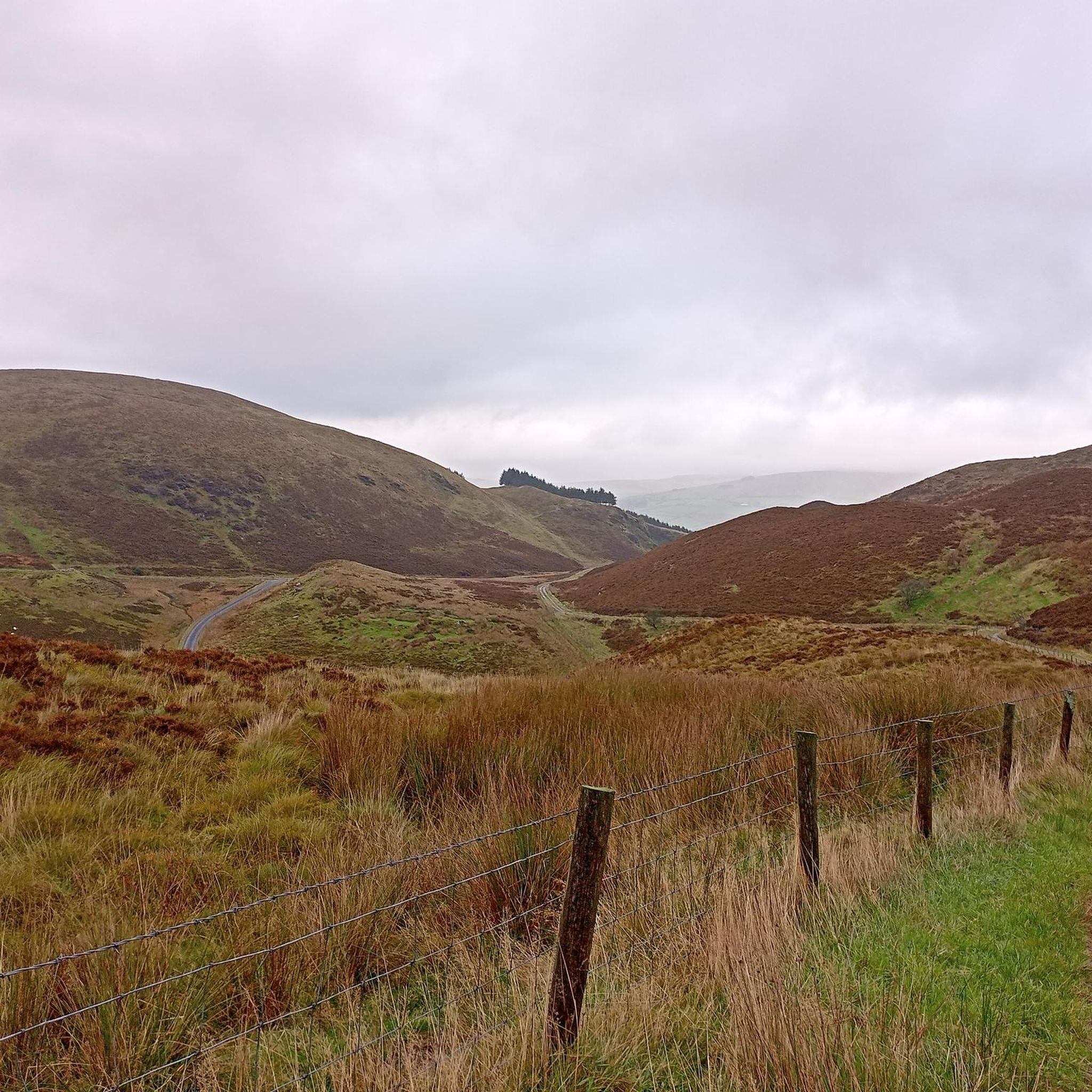
ゴーティカシェルアッパー 周辺でおすすめのハイキングやウォーキングを楽しんでいただけるように、このエリアの小径やルートを集めたkomootコレクション全体を見直しました。 以下で各ルートの詳細をご覧になり、ゴーティカシェルアッパー周辺の大自然を満喫する際の参考にしてください。
最終更新日: 8月 26, 2026
5.0
(1)
22
ハイカー
6.62km
02:02
250m
250m
Embark on a moderate hike up Mullaghcarn from Glenpark Road, a route that takes you through dense coniferous woodlands and past tranquil streams before opening up to the mountainside. You…
5.0
(2)
8
ハイカー
11.7km
03:20
280m
280m
The Vinegar Hill Loop offers a moderate hiking experience through the Sperrins Area of Outstanding Natural Beauty, covering 7.3 miles (11.7 km) with an elevation gain of 905 feet (276…

無料新規登録
3
ハイカー
20.7km
05:55
490m
490m
Embark on the Craignamaddy Circuit, a difficult hiking route that spans 12.9 miles (20.7 km) and challenges you with 1607 feet (490 metres) of elevation gain. This journey through the…
20.1km
06:06
640m
650m
Embark on a difficult 12.5 miles (20.1 km) hike up Dart and Sawel Mountain, gaining 2108 feet (643 metres) in elevation over approximately 6 hours and 5 minutes. This challenging…
2
ハイカー
7.56km
02:10
180m
180m
Hike the moderate 4.7-mile Gortin Lakes Trail in Gortin Glen Forest Park, enjoying views of tranquil lakes and the Sperrin Mountains.
さらに多くのルートや他のユーザーのおすすめ情報を確認できます。
無料新規登録
すでにアカウントをお持ちですか?
おすすめのツアーは他のkomootユーザーが実際に経験した何千ものアクティビティに基づいています。
無料アカウントで今日から始めよう
次の冒険が待っています。
ログインまたは登録


コミュニティからのヒント

Wear waterproof shoes/boots because even on the longest day of the year it's still wet underfoot
0
0


Gortin is a pleasant town situated in the heart of the Sperrins in County Tyrone. The town is nearby to a number of wonderful walks including Gortin Glen Forest Park, Mullaghcarn & Craignamaddy. There are also a few pubs in the town, such as Mossey's Bar and O'Neills.
1
0
There is a picturesque footpath around New Lough where you can enjoy scenes of the still waters surrounded by stunning Sperrins landscape.
1
0
This beautiful lake situated in the heart of the Sperrins countryside is a fantastic location for a walk. The footpath is surrounded by heathland and wildflowers along with views of the surrounding rolling hills. Car parking is available and there is a picnic area, too.
1
0
This mast road through Gortin Glen Forest is a nice alternative route up to Mullaghcarn if you're looking for a nice wide path that is gentle underfoot. Could be useful if walking with kids or elderley people.
0
0

Formed from a glacial overflow, Barnes Gap is truly breathtaking. On your way up, don't forget to take in the spectacular views. The gap cuts through the east-west crest line of the southern Sperrin Mountains ridge, between the hills of Mullaghbane and Mullaghbolig.
2
0
Sawel Mountain stands at 678m and is the highest peak in the Sperrins range, and the 8th highest in Northern Ireland. The vegetation around the summit consists of montane heathland, featuring a medley of plant life including heather, bilberries and cowberries. From the summit, you can enjoy uninterrupted views across the countryside of County Londonderry and Tyrone. It's all downhill from this point on, so you can enjoy a scenic descent back to the carpark.
1
0
ゴーティカシェルアッパーでのの人気観光スポット

komootモバイルアプリでインスピレーションを得よう


さらに探索
他の地域の最高のハイキングを見てみましょう。
