ドナウヴェルトのおすすめランニングルート
4.3
(73)
1,282
ランナー
107
ランニング
ドナウヴェルトでランニングを楽しめば、このエリアをより深く知ることができます。ランニングに適した美しいルートが見つかるように、komootがドナウヴェルトでのルートのコレクション全体を評価して選び抜いた、人気ランニングトレイルをご紹介します。ルートをクリックして詳細を表示し、他のユーザーがアップロードした役立つ情報や写真を閲覧しましょう。
最終更新日: 9月 25, 2026
4.0
(3)
78
ランナー
6.50km
00:40
20m
20m
中程度のジョギング. ある程度のフィットネスレベルが必要です。 全般的に舗装された状態です。あらゆるスキルレベルに適しています。
4.3
(6)
111
ランナー
17.1km
01:48
20m
20m
難しいジョギング. 標準以上のフィットネスレベルが必要です。 全般的に舗装された状態です。あらゆるスキルレベルに適しています。

3.0
(1)
53
ランナー
8.68km
00:56
30m
30m
中程度のジョギング. ある程度のフィットネスレベルが必要です。 全般的に舗装された状態です。あらゆるスキルレベルに適しています。
56
ランナー
10.0km
01:03
40m
40m
中程度のジョギング. ある程度のフィットネスレベルが必要です。 全般的に舗装された状態です。あらゆるスキルレベルに適しています。
47
ランナー
7.18km
00:45
30m
30m
中程度のジョギング. ある程度のフィットネスレベルが必要です。 全般的に舗装された状態です。あらゆるスキルレベルに適しています。
さらに多くのルートや他のユーザーのおすすめ情報を確認できます。
すでにアカウントをお持ちですか?
おすすめのツアーは他のkomootユーザーが実際に経験した何千ものアクティビティに基づいています。
無料アカウントで今日から始めよう
次の冒険が待っています。
ドナウヴェルト周辺で人気

アウグスブルガー・ヤコブスウェグを通じてバイエルン=シュワーベンを通る

ローランドルダインスラールの南の三國のプロールに
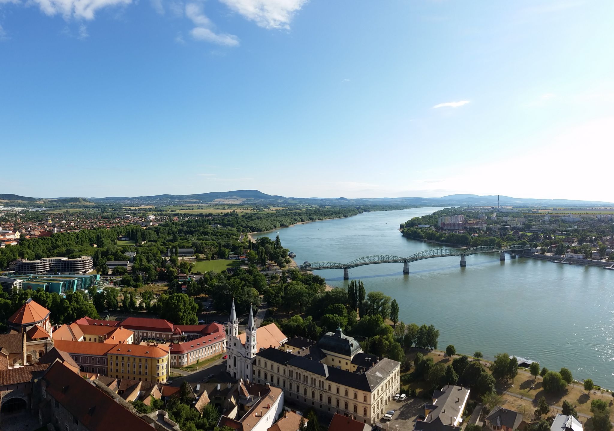
ドナウエッシンゲンからブダペストまでのドナウサイクルパス
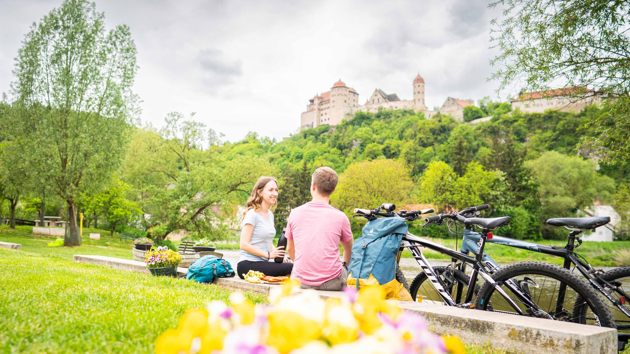
Cycle back in time in the Donau-Ries region
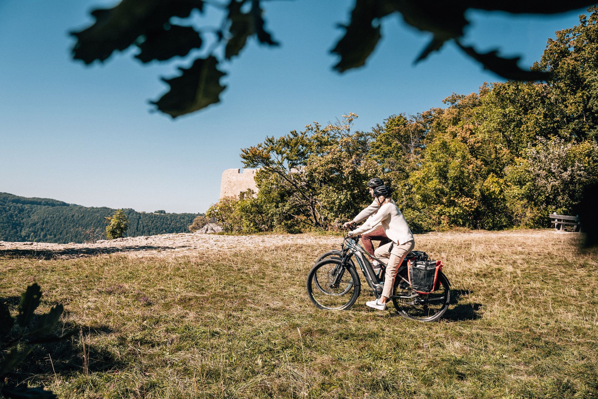
Breathe in the mountain air – long-distance cycle paths in the Swabian Alb
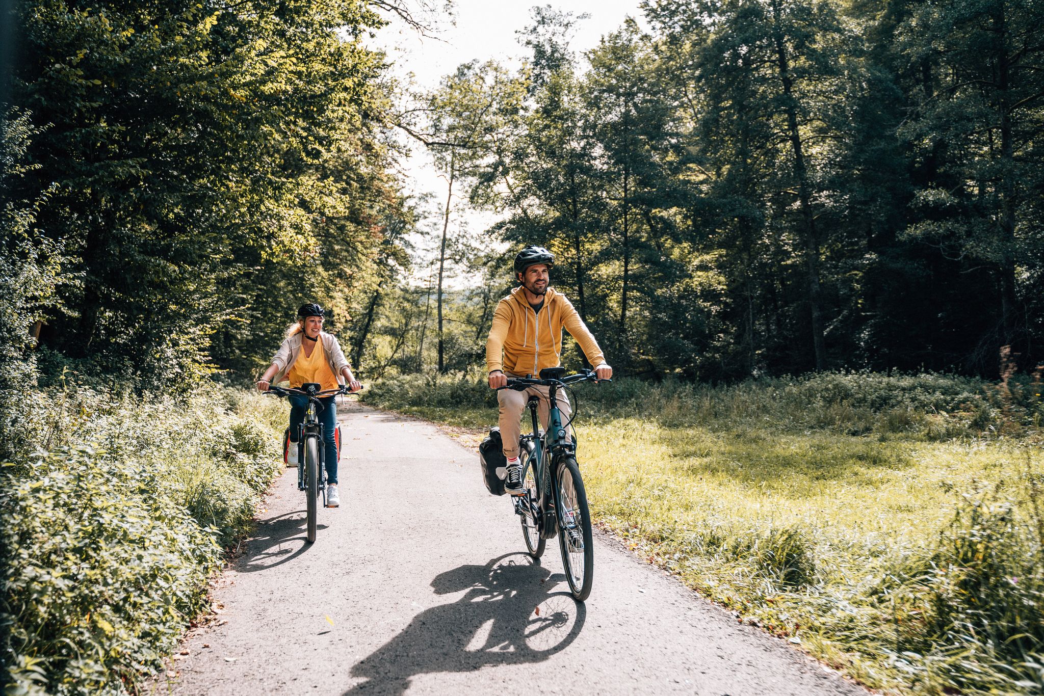
Cycle touring trio in the Swabian Alb
Historic and exciting – hiking in the DONAURIES holiday region
From River to River: Cycling in Bavarian Swabia
シュヴァーベン・アルプ自転車道をボーデン湖までサイクリング
6 Long-Distance Hikes for Your Escape to the Swabian Alb
ドナウヴェルトでのの他の冒険


コミュニティからのヒント

ドナウヴェルトは発見することがたくさんある、とても素敵な小さな町です。
3
0
ワイルドなヴェルニッツ川沿いの、素晴らしい、そして非常に自然に近い道の部分。
4
0

マングロルトシュタインはカルヴァリーエンベルクにある特徴的な岩で、かつてここに建っていたヴュルツ城を彷彿とさせます。この岩は、ドナウヴュルトの初期の歴史と深く関わりのあるヴュルツ伯爵マングロルトにちなんで名付けられました。
4
0

The local history museum in Donauwörth is located in one of the oldest parts of the town. It is housed in the red house on Ried Island. The Härpfer family, who have been connected to the town's fishing history since 1434, once lived here. The museum displays religious folk art, crafts, and offers deep insights into the town's cultural history.
1
0

Beautiful view of the confluence of the Wörnitz and Danube rivers 🌊 - Donauwörth - Donau-Ries district
0
0
Information panel about the Via Claudia Augusta - Donauwörth - Donau-Ries district
0
0
Wörnitz Bridge - Wörnitz Footbridge - Wooden bridge with a view of the Holy Cross Monastery ⛪ - Wörnitz 🌊 - Donauwörth - Donau-Ries District
0
0
The Wörnitz is a left and northern tributary of the Danube in Bavaria, approximately 132 km long. The name is recorded as "Werinza" in the 11th century, and as "Warinza" in the 12th century. There are two theories regarding the origin of this name. In 1950, the onomastician Joseph Schnetz traced the name back to the Indo-European root *ver, meaning "to turn" or "to twist," to which the participle ending -entia was added. According to this theory, Wörnitz means "the winding one." Onomastician Wolf-Armin von Reitzenstein, however, the name derives from the Indo-European root *u̯er, meaning "water," from which it was derived by adding a -nt suffix. Albrecht Greule, on the other hand, sees a connection with the Indo-European words *h2u̯er- "to be moist" or *h2u̯erh1- "to wet." *h2u̯er- The river gave its name to several places: Wörnitz, Wörnitzhofen, Wörnitzostheim, and Wörnitzstein. The Wörnitz originates from a spring in Schillingsfürst on the Franconian Heights and flows from there fairly steadily in a southerly to easterly direction. Initially, it flows south through the municipality of Wörnitz through a meadow valley bordered by wooded hills, receiving the Ampfrach and Zwergwörnitz streams from the right along this stretch. At river kilometer 115.62, near the village of Reichenbach in Feuchtwangen, a gauge measures the flow rate. From the medieval town of Dinkelsbühl, a southeasterly section begins, leading to the edge of the Nördlinger Ries crater, where many of its tributaries feed ponds, sometimes in close succession. Now flowing more easterly, it first reaches Wilburgstetten, where the Rotach River flows into it from the west. Initially, it flows more easterly, through Wilburgstetten, where it is joined by the Rotach River, again from the west. ... ..... Source: https://de.wikipedia.org/wiki/W%C3%B6rnitz
0
0
ドナウヴェルトでのの人気観光スポット

komootモバイルアプリでインスピレーションを得よう


さらに探索
他の地域の最高のランニングトレイル & ルートを見てみましょう。
