ゲシュトラッツのおすすめ登山&山歩きルート
4.0
(4)
109
ハイカー
13
ハイキング
リンダウ(ボーデンゼー)の山々をもっと探索しませんか?このガイドでご紹介するのは、komootがゲシュトラッツでの登山&山歩きのコレクション全体を評価して選び抜いた、このエリアの人気ルートです。あなたに合ったルートを見つけるには、他のユーザーがアップロードした役立つ情報や写真を閲覧し、クリック操作で簡単に表示できる詳細なデータを参考にしましょう。ゲシュトラッツでの次の冒険にぴったりの登山&山歩きルートが見つかるはずです。
最終更新日: 10月 18, 2026
17
ハイカー
13.1km
04:06
420m
430m
中程度の登山ルート. ある程度のフィットネスレベルが必要です。 全般的に進みやすいルートです。安定して歩行できる技術が必要です。
10
ハイカー
13.0km
04:02
480m
480m
中程度の登山ルート. ある程度のフィットネスレベルが必要です。 全般的に進みやすいルートです。安定して歩行できる技術が必要です。

3.0
(1)
12
ハイカー
8.60km
02:45
360m
360m
中程度の登山ルート. ある程度のフィットネスレベルが必要です。 全般的に進みやすいルートです。安定して歩行できる技術が必要です。
15
ハイカー
9.36km
03:07
390m
390m
中程度の登山ルート. ある程度のフィットネスレベルが必要です。 全般的に進みやすいルートです。安定して歩行できる技術が必要です。
5.0
(1)
11
ハイカー
7.09km
02:23
330m
330m
中程度の登山ルート. ある程度のフィットネスレベルが必要です。 全般的に進みやすいルートです。安定して歩行できる技術が必要です。
さらに多くのルートや他のユーザーのおすすめ情報を確認できます。
すでにアカウントをお持ちですか?
おすすめのツアーは他のkomootユーザーが実際に経験した何千ものアクティビティに基づいています。
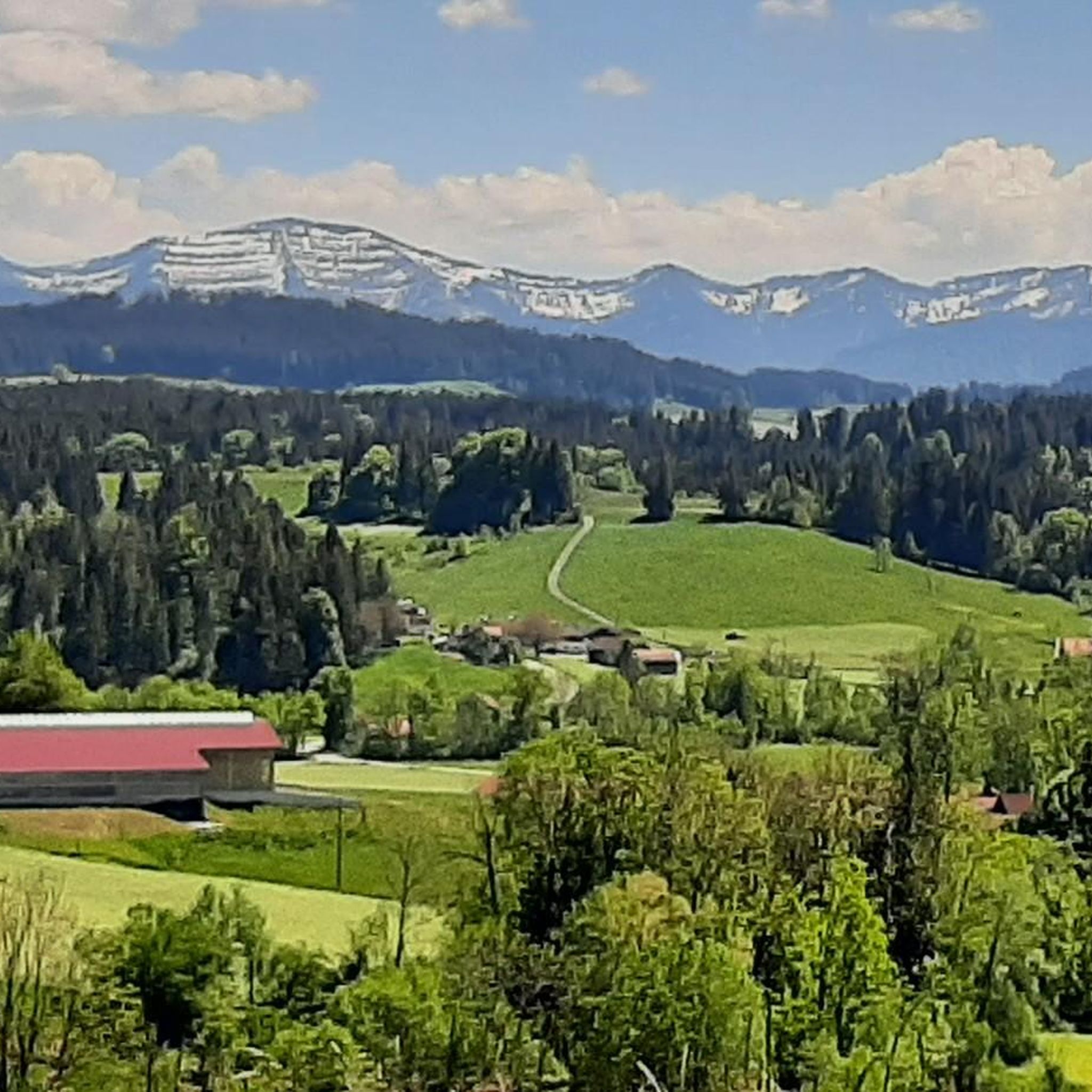
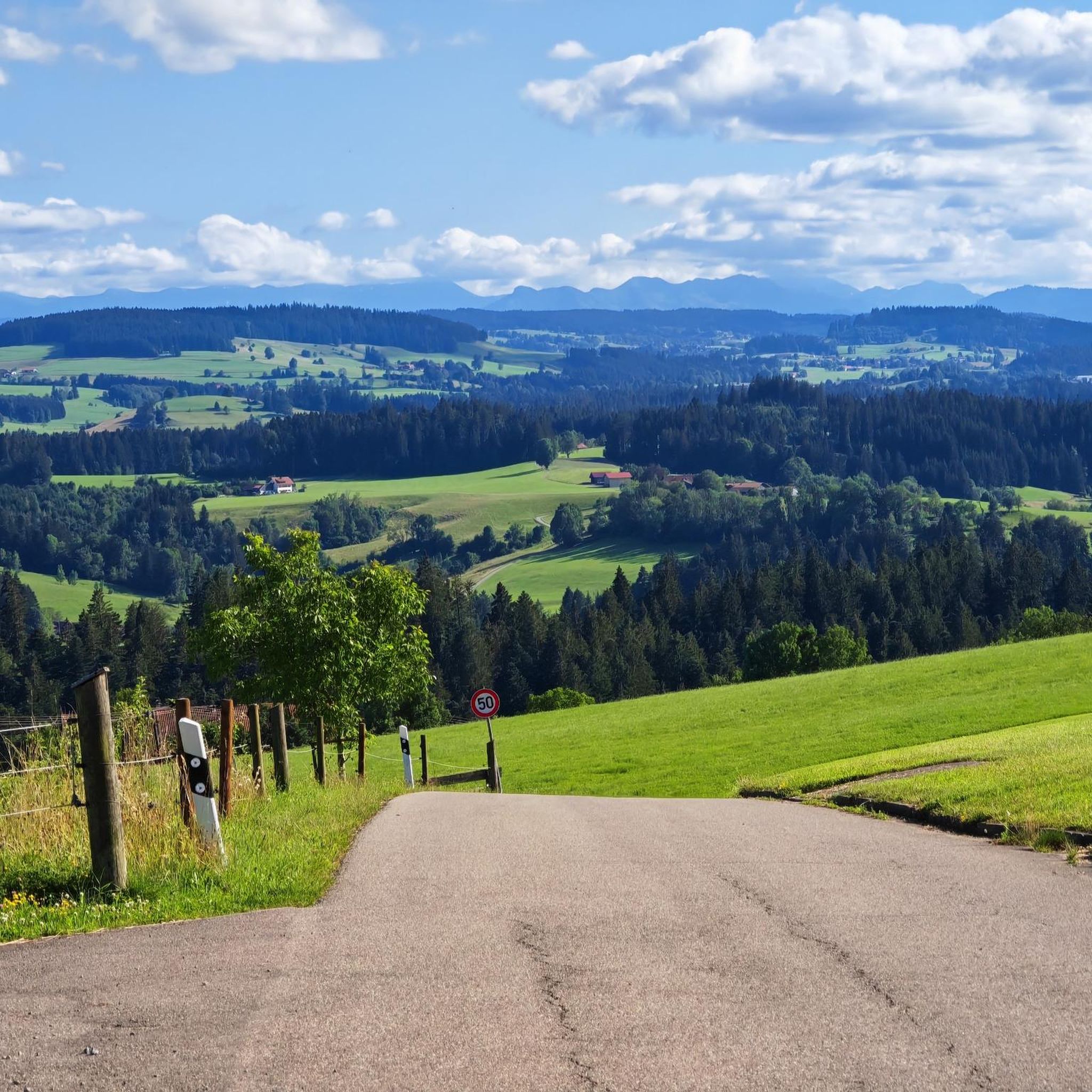
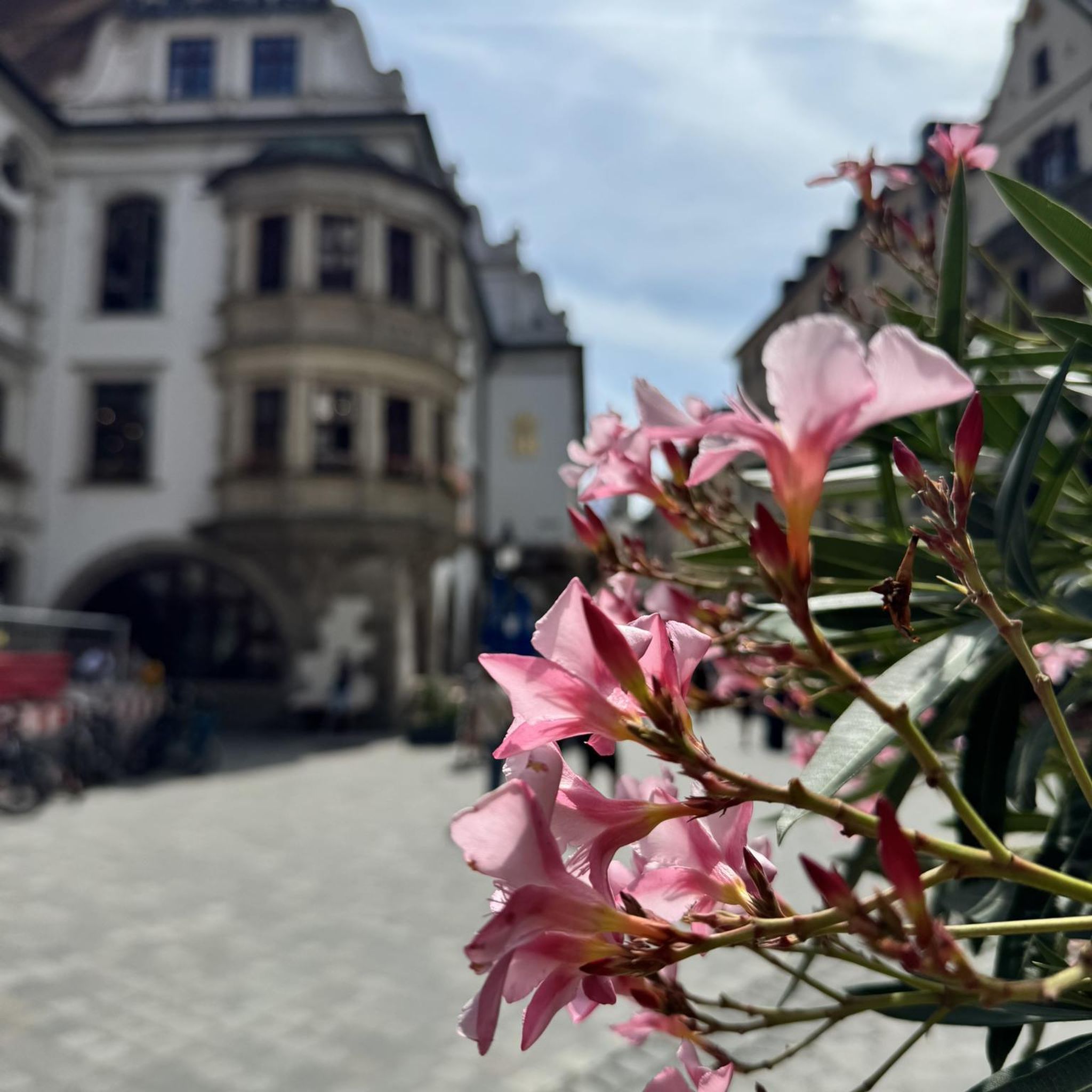
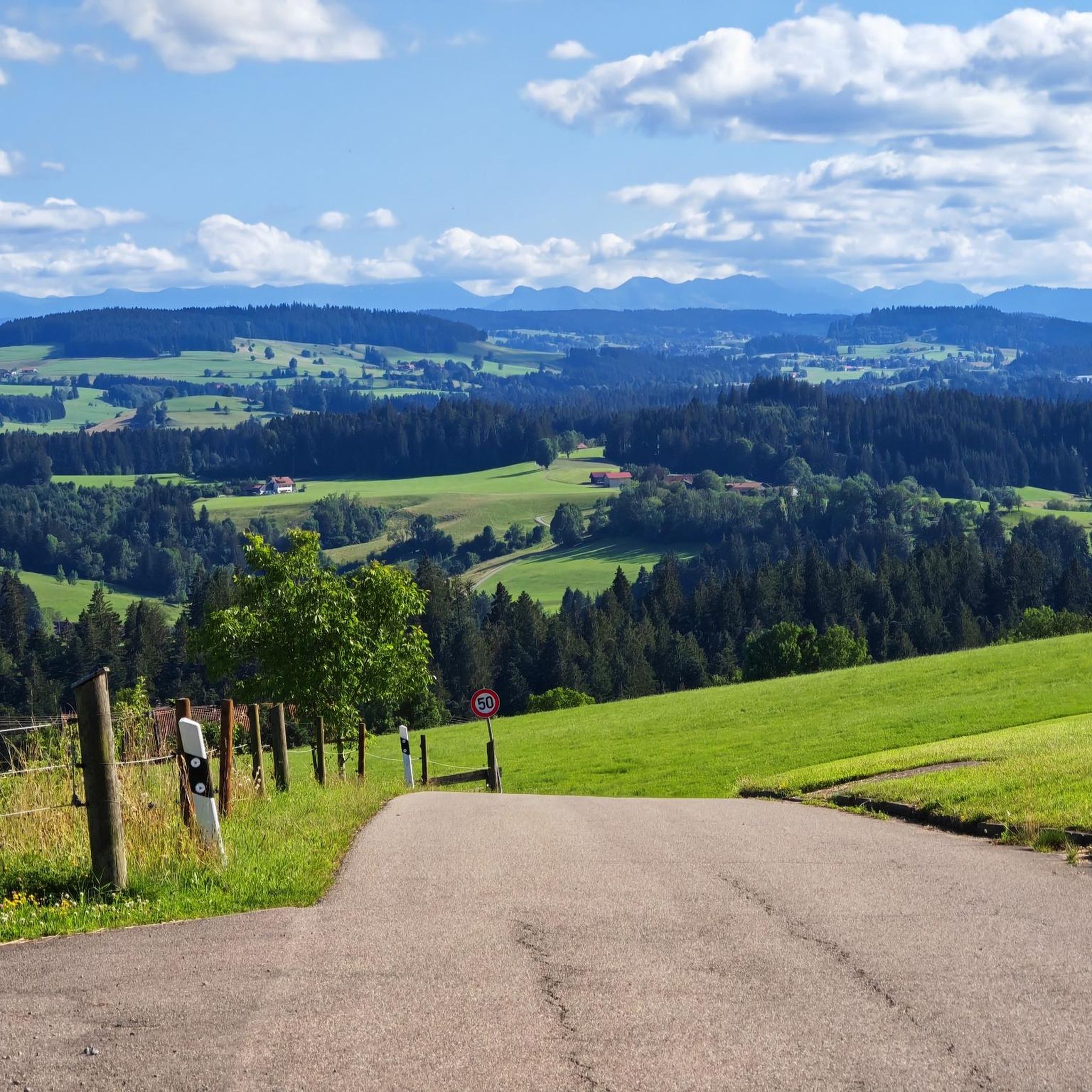

コミュニティからのヒント

ハイキングコースのねじれた根は、人生の確かな一歩にはしっかりとした支えが必要であり、どんなに曲がりくねった道でも私たちを安全に目的地へ導いてくれることを思い出させてくれます。
0
0

ついに木の根や石の上を通る小道が現れた…広い砂利道の後には心地よい
1
0

美しい高木林で、シュヴァルツェン・グラードへの最後の部分は根の多い道です。文字通り、木や石の上を歩きます。
7
0
オーバールーのस्टाブ教会は、イスニー・イム・アルゴイ近郊のオーバールー・リハビリテーションクリニックの敷地内にある、小さくて非常に雰囲気のある木造教会で、シュヴァルツェン・グラートの麓にあります。 1928年に建てられ、建築的には伝統的なノルウェーのस्टाブ教会に倣っています。 元々は当時の肺結核療養所の患者たちのための礼拝堂として使用されていました。 教会は完全に木造で、そのシンプルで北欧風の建築様式から、人気の写真撮影スポットとなっています。
4
0

When the ice melts or after rain, a small stream also flows along the path here.
1
0
A very challenging route from Wenden to the Schwarzer Grat via the Raggenhorn summit. However, once you reach the Raggenhorn summit, you are rewarded with a magnificent view. (The signs along the trail with the estimated times can make you feel like you're going very slowly...)
0
1

The hiking information board is opposite the clinic.
0
0
The Rotwild Trail starts behind the Überruh Clinic.
0
0

komootモバイルアプリでインスピレーションを得よう


さらに探索
他の地域の最高の登山ハイキング & ルートを見てみましょう。
