ニュルンベルクのおすすめランニングルート
4.4
(1023)
19,196
ランナー
886
ランニング
ニュルンベルクでランニングを楽しめば、このエリアをより深く知ることができます。ランニングに適した美しいルートが見つかるように、komootがニュルンベルクでのルートのコレクション全体を評価して選び抜いた、人気ランニングトレイルをご紹介します。ルートをクリックして詳細を表示し、他のユーザーがアップロードした役立つ情報や写真を閲覧しましょう。
最終更新日: 7月 11, 2026
12
ランナー
中程度のジョギング. ある程度のフィットネスレベルが必要です。 全般的に舗装された状態です。あらゆるスキルレベルに適しています。
8
ランナー
5.01km
00:31
30m
30m
中程度のジョギング. ある程度のフィットネスレベルが必要です。 全般的に舗装された状態です。あらゆるスキルレベルに適しています。

無料新規登録
5.0
(1)
10
ランナー
中程度のジョギング. ある程度のフィットネスレベルが必要です。 全般的に舗装された状態です。あらゆるスキルレベルに適しています。
5
ランナー
6.52km
00:40
30m
30m
中程度のジョギング. ある程度のフィットネスレベルが必要です。 全般的に舗装された状態です。あらゆるスキルレベルに適しています。
5
ランナー
6.98km
00:45
70m
70m
中程度のジョギング. ある程度のフィットネスレベルが必要です。 全般的に舗装された状態です。あらゆるスキルレベルに適しています。
さらに多くのルートや他のユーザーのおすすめ情報を確認できます。
無料新規登録
すでにアカウントをお持ちですか?
おすすめのツアーは他のkomootユーザーが実際に経験した何千ものアクティビティに基づいています。
無料アカウントで今日から始めよう
次の冒険が待っています。
ログインまたは登録

コミュニティからのヒント

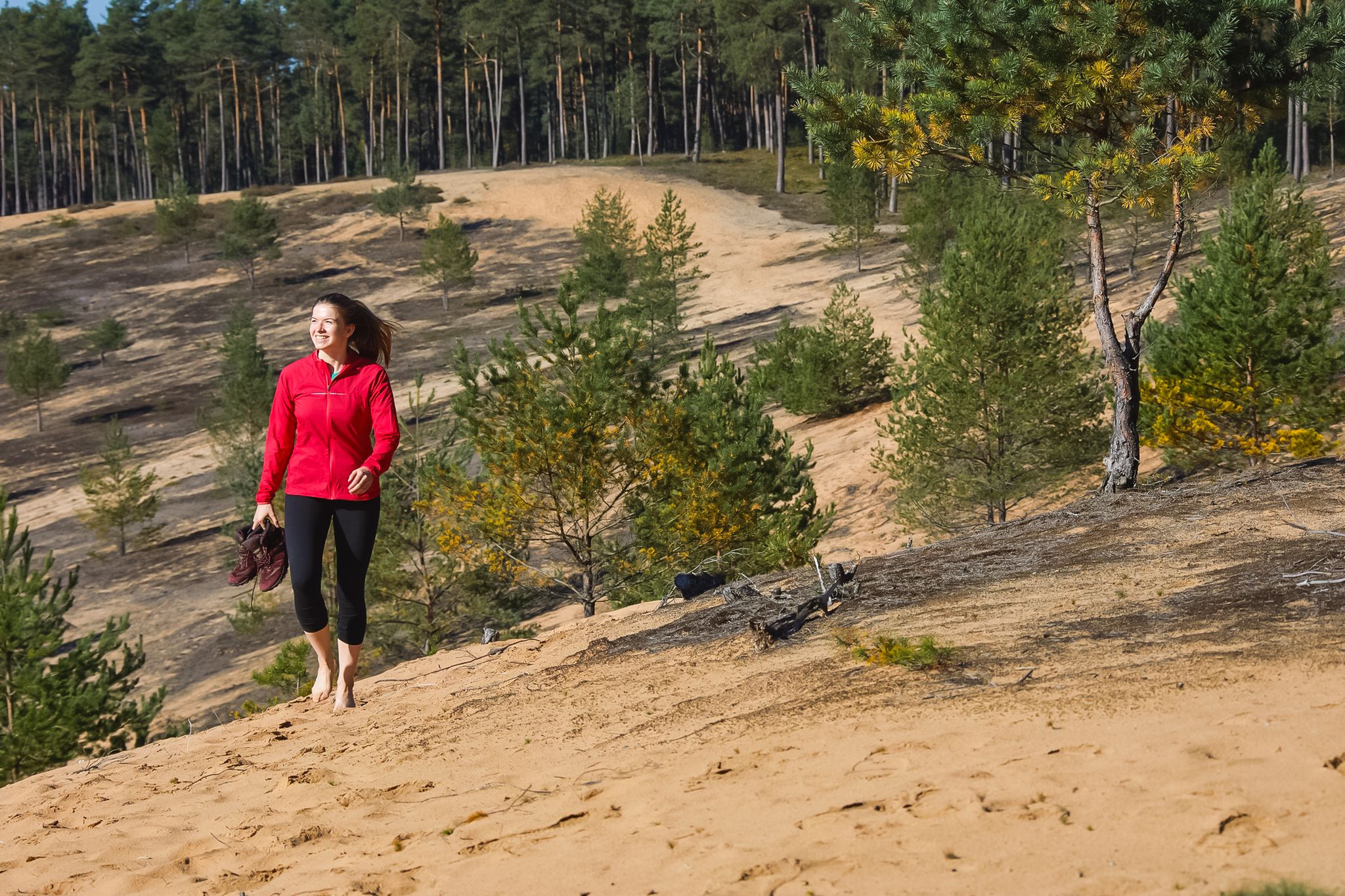
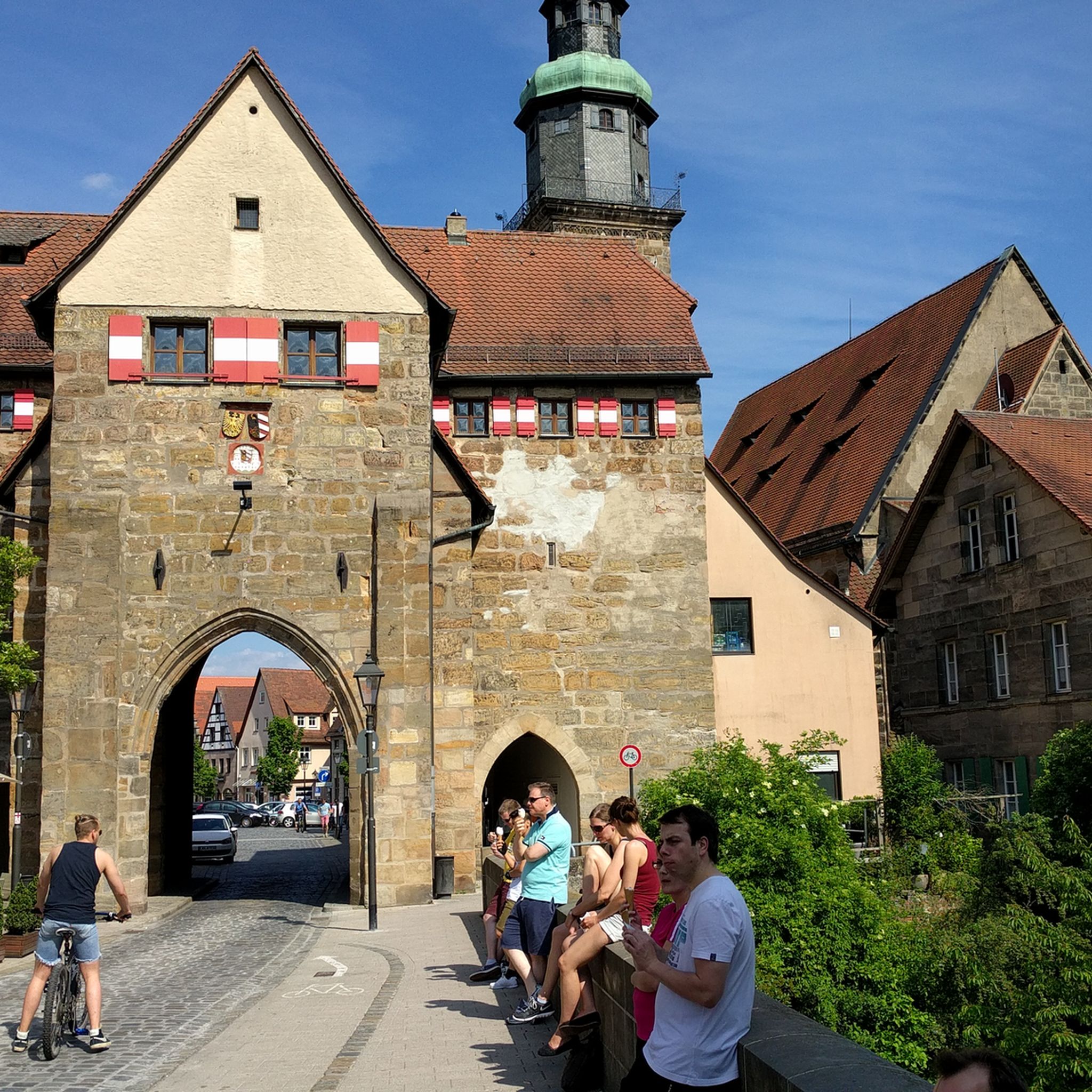
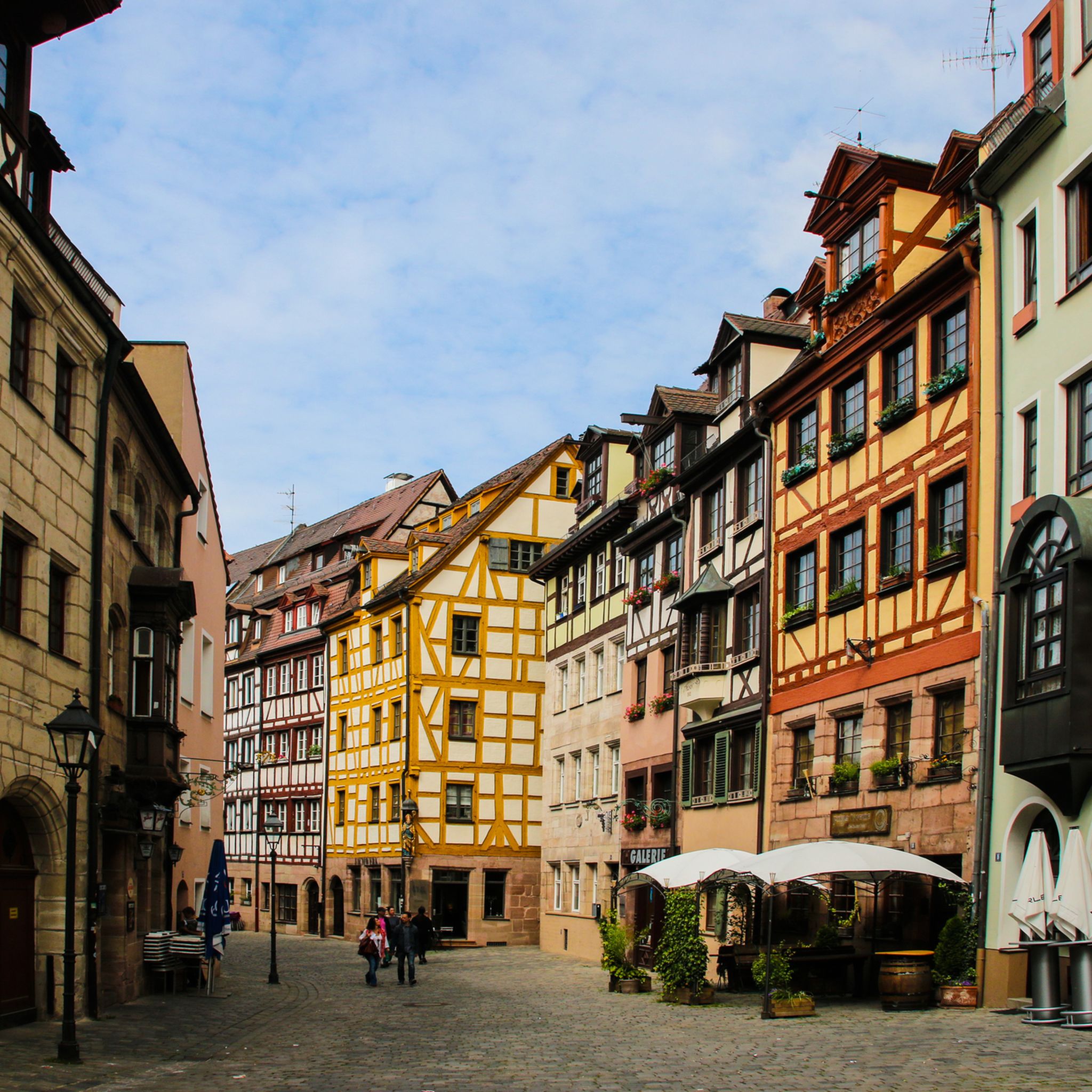
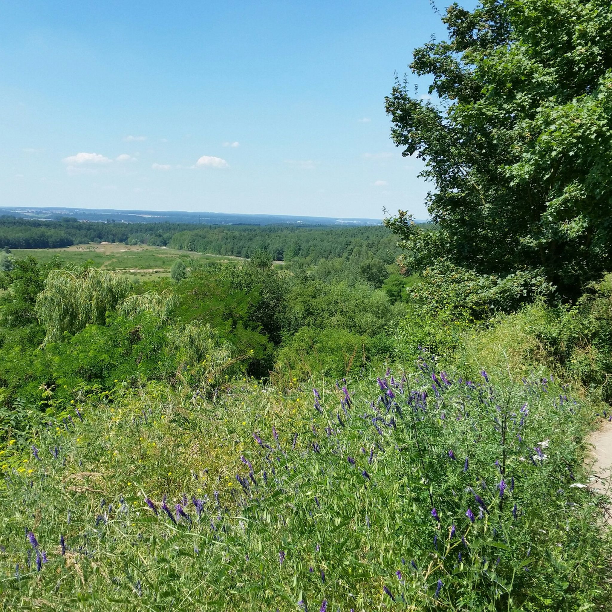
自然を愛する人は、ここで五感を解き放ち、目をさまよわせることができます。良い靴を履くことをお勧めします。もう少しハイキングをしたい人は、渓谷のウンゲルシュテッテンまでさらに歩き、その後、帰りの道すがら、ウンゲルシュテッテンのカフェで美味しいケーキとコーヒーで元気を回復することができます。👍
0
0

Nice looking fountain, which invites you to dip your head in it, especially in midsummer :-)
1
0

Great landscape with a well-developed cycle network.
0
0

Here in the gorge you can often see the work of beavers.
0
0

He really made an effort, the rodent 🦫 is simply part of nature.
3
0

nice path along the river
0
0

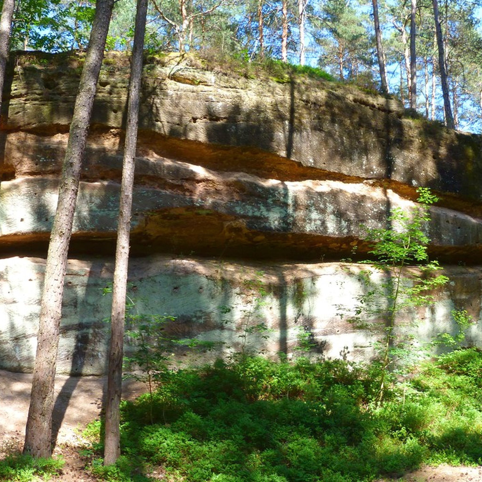
In the small but wildly romantic gorge, the Röthenbach flows over a length of around 300 meters, partly between heavily weathered sandstone rock formations up to five meters high. At the entrance to the gorge, close to the town of Röthenbach, the stream has created a small waterfall; The river drops three meters over two small steps. In the subsequent rock sections, impressive erosion, smaller caves and weathering can be found, and further along there are also remains of previous rock falls. The sandstone banks of the upper Keuper can be clearly seen on the impact slopes and other outcrops. In the wide Kerbsohlental below the gorge, the stream then meanders in wide arcs. Source: Wikipedia
8
0
The Rumpelbachschlucht is a small sandstone gorge in Middle Franconia (Bavaria) in the Altdorf district of Röthenbach. It is also called Röthenbachklamm after the Röthenbach, which flows into the Pegnitz near the town of Röthenbach and has a rocky notch on its upper reaches. n the small but wildly romantic gorge, the Röthenbach flows over a length of around 300 meters, partly between heavily weathered sandstone rock formations up to five meters high. At the entrance to the gorge, close to the town of Röthenbach, the stream has created a small waterfall; The river drops three meters over two small steps. In the subsequent rock sections, impressive erosion, smaller caves and weathering can be found, and further along there are also remains of previous rock falls. The sandstone banks of the upper Keuper can be clearly seen on the impact slopes and other outcrops. In the wide Kerbsohlental below the gorge, the stream then meanders in wide arcs. Source: Wikipedia
8
0

komootモバイルアプリでインスピレーションを得よう


さらに探索
他の地域の最高のランニングトレイル & ルートを見てみましょう。
