ゾンネンビュールのおすすめランニングルート
4.4
(87)
819
ランナー
127
ランニング
ゾンネンビュールでランニングを楽しめば、このエリアをより深く知ることができます。ランニングに適した美しいルートが見つかるように、komootがゾンネンビュールでのルートのコレクション全体を評価して選び抜いた、人気ランニングトレイルをご紹介します。ルートをクリックして詳細を表示し、他のユーザーがアップロードした役立つ情報や写真を閲覧しましょう。
最終更新日: 8月 23, 2026
4.8
(4)
129
ランナー
19.9km
02:29
660m
660m
難しいジョギング. 標準以上のフィットネスレベルが必要です。 安定して歩行できる技術、丈夫な靴、高標高地での登山経験が必要です。
5.0
(1)
15
ランナー
19.3km
02:27
570m
570m
難しいジョギング. 標準以上のフィットネスレベルが必要です。 安定して歩行できる技術、丈夫な靴、高標高地での登山経験が必要です。

無料新規登録
4.0
(2)
16
ランナー
6.83km
00:43
60m
60m
中程度のジョギング. ある程度のフィットネスレベルが必要です。 全般的に舗装された状態です。あらゆるスキルレベルに適しています。
5.0
(2)
10
ランナー
6.57km
00:42
110m
110m
中程度のジョギング. ある程度のフィットネスレベルが必要です。 全般的に舗装された状態です。あらゆるスキルレベルに適しています。
13
ランナー
5.17km
00:33
60m
60m
中程度のジョギング. ある程度のフィットネスレベルが必要です。 全般的に舗装された状態です。あらゆるスキルレベルに適しています。
さらに多くのルートや他のユーザーのおすすめ情報を確認できます。
無料新規登録
すでにアカウントをお持ちですか?
おすすめのツアーは他のkomootユーザーが実際に経験した何千ものアクティビティに基づいています。
無料アカウントで今日から始めよう
次の冒険が待っています。
ログインまたは登録
ゾンネンビュール周辺で人気
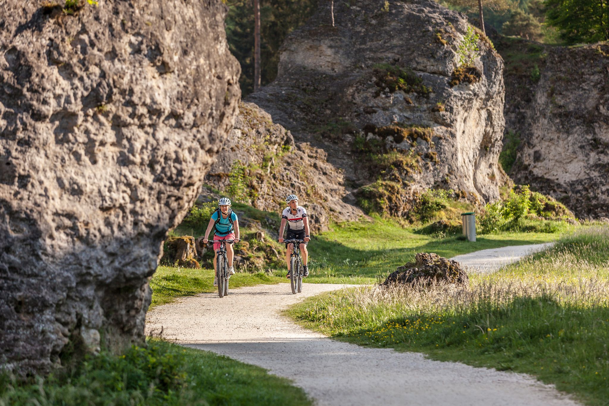
Experience nature by bike in the Swabian Jura
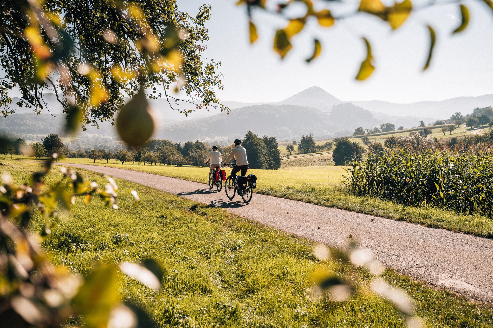
シュヴァーベン・アルプ自転車道をボーデン湖までサイクリング
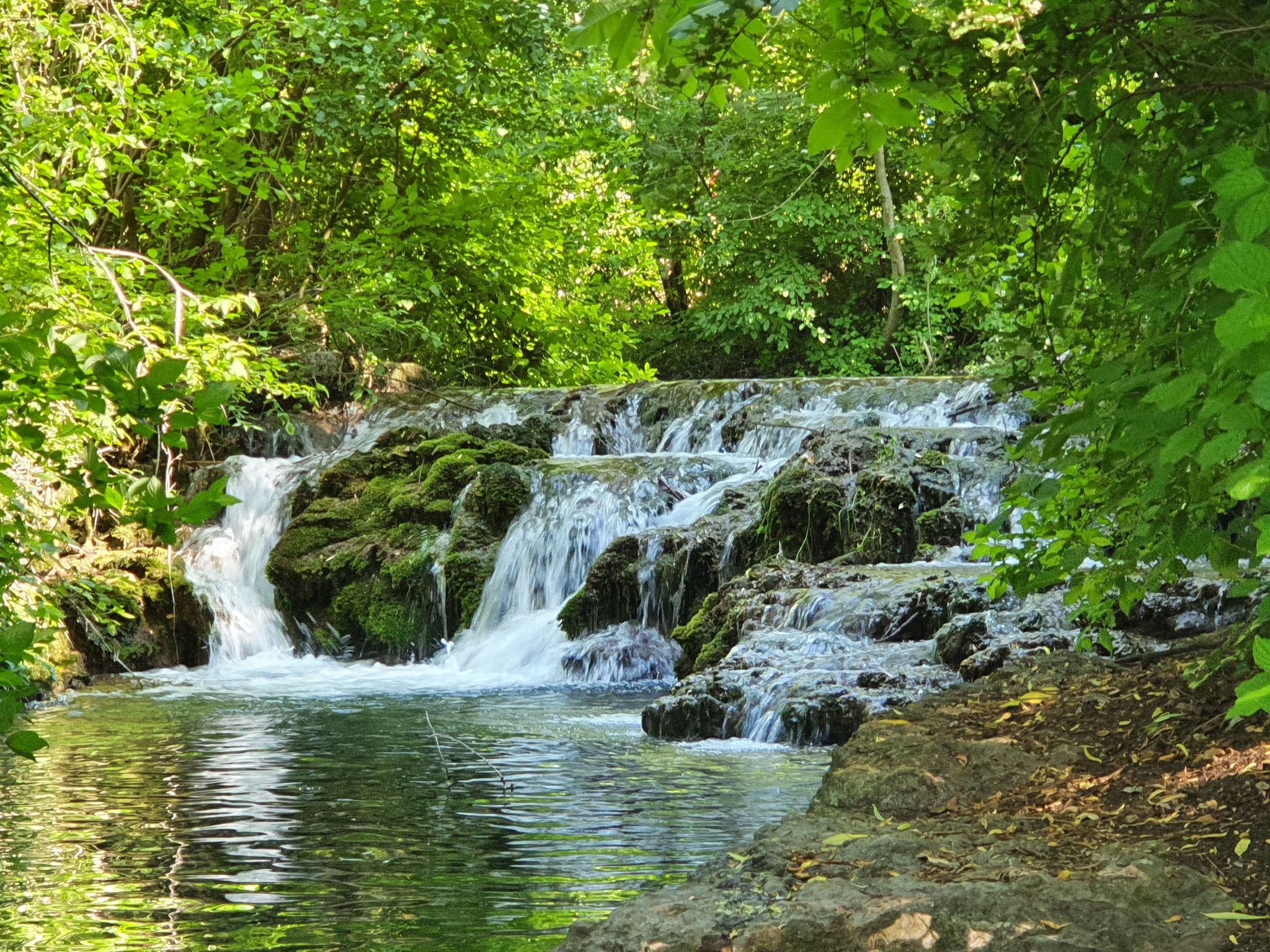
Explore the myths of the Swabian Alb – 20 fantastic bike Tours
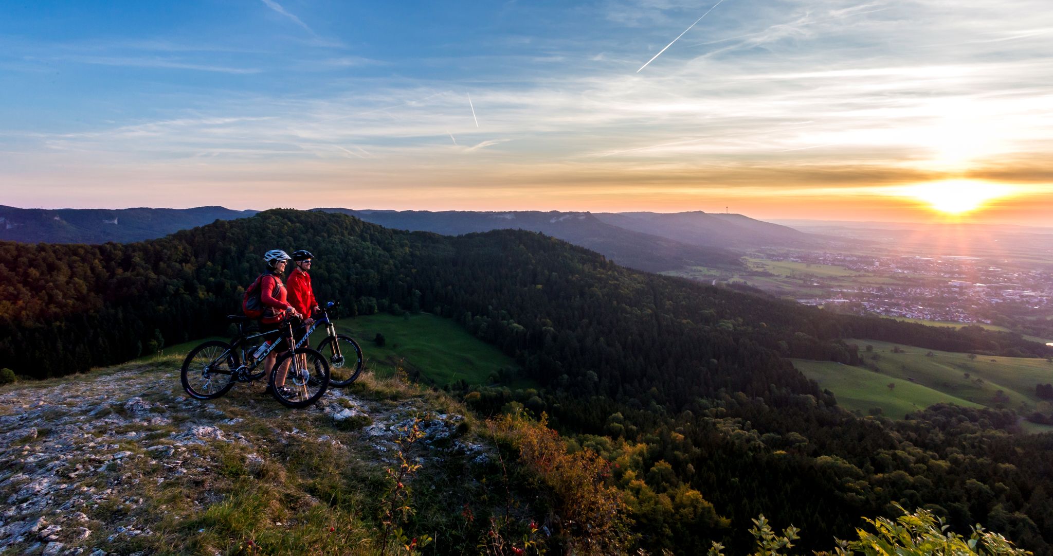
Alb-Crossing in Germany – 自転車でシュヴァーベン・アルプを横断する
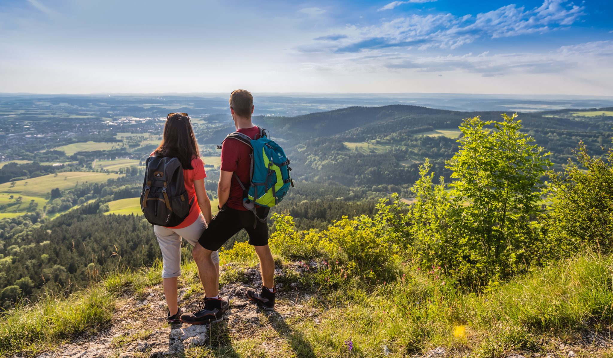
ザービアン・アルプシュタイク(HW1)– 16ステージのパノラマビュー
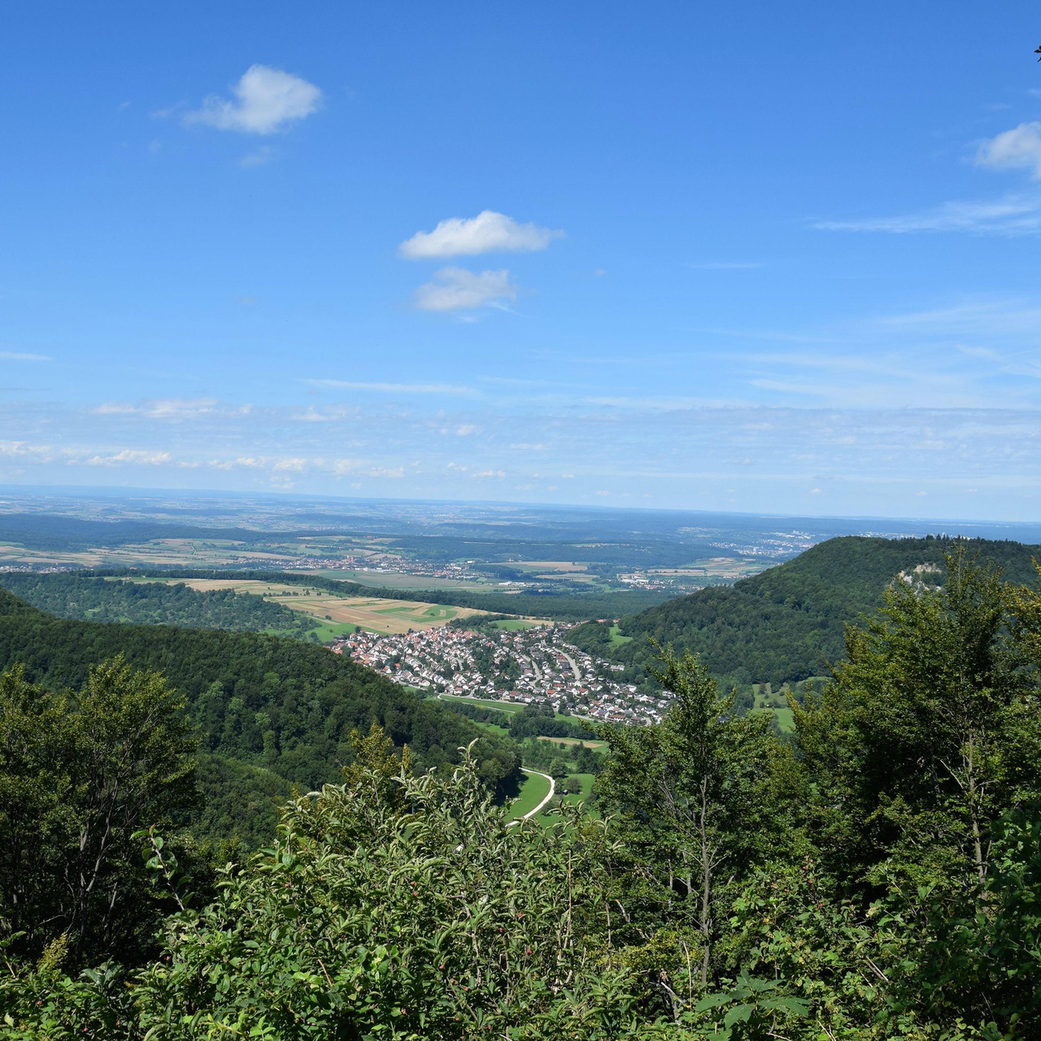
ゾンネンビュールでのハイキング
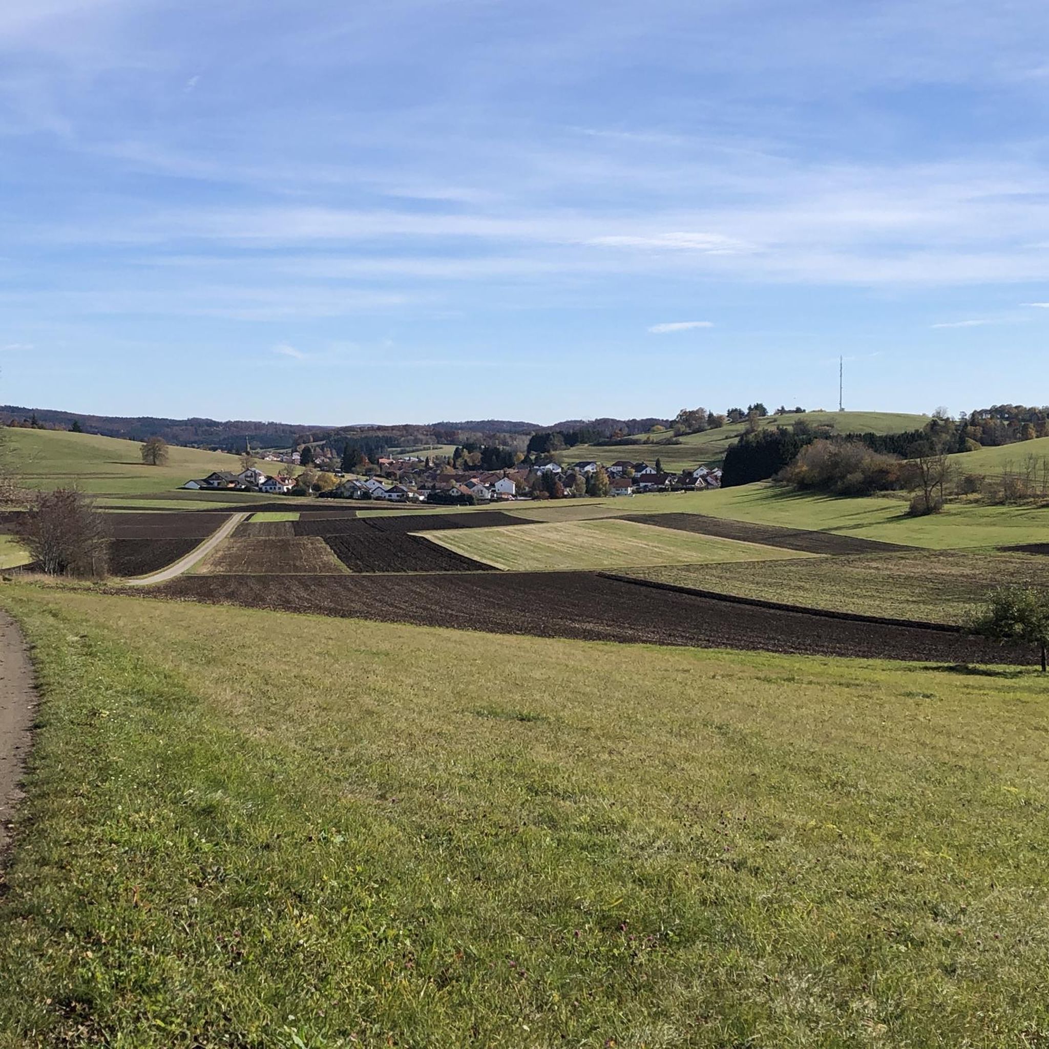
ゾンネンビュールでのサイクリング
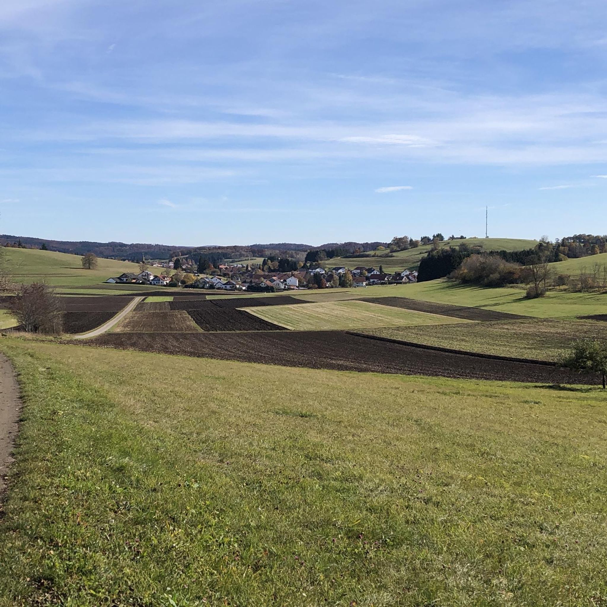
ゾンネンビュールのMTBトレイル

ゾンネンビュールのロードバイクルート
ゾンネンビュールでののグラベルライド
ゾンネンビュールでのの他の冒険

コミュニティからのヒント

シュヴェービシェン・アルプ(ロイトリンゲン郡)のゾンネンビュールより北には、スペイン継承戦争(1701年~1714年)時代のよく保存された堡塁があります。ロスベルク堡塁とブーバーグ堡塁を含むこれらの歴史的遺物は、1703年にヴュルテンベルク軍によって防衛線の一部として築かれました。
5
0

美しい小道 🏞 - 村とAP Kalkofenの間 - Mössingen-Öschingen - LKR. Tübingen
0
0
APクエンシュテット記念碑からの美しい眺め 🗿 - Rossberg 869.6 m. ü.N.N. ⛰ - Reutlingen-Gönningen - LKR. Reutlingen ただ楽しむために 🤩👍
0
0
Roßberg-torony és Roßberg-ház A Roßberg-torony a Roßberg 28 méter magas kilátótornya. Vasbeton szerkezetű torony tetején egy antennamast található a BOS-funk számára. A toronyban egy túraház van beépítve. A torony minden emeletén van egy vagy több szoba egyszerű szálláslehetőséggel. A torony alsó részében egy vendéglő található. A tornyot és a túraházat a Schwäbischer Albverein 25. évfordulójára építették, és 1913. szeptember 28-án avatták fel. A stuttgarti Karl Schweizer építész tervezte és vezette az építkezést, a vasbeton szerkezetet a stuttgarti-bad cannstatti Ludwig Bauer cég végezte. Ebben az időben a hegytető még kevésbé volt erdős. Eredetileg az egész túraház a toronyban volt, az 1930-as és 1960-as években toldalékokkal bővítették a létesítményt, és 1982-ben ismét felújították. A toronyhoz vezető, Roßbergsteige nevű utat 1934-ben alakították ki. A torony tetejéről a Sváb-Jura és előtere látható. Nyugatra a Fekete-erdőig, északra a Schönbuchig és a stuttgarti tévétoronyig nyílik kilátás. Északkeleten az Albtraufon többek között a Hohenstaufen és a Hohenneuffen romjai láthatók. Jó látási viszonyok esetén déli irányban az Északi-Alpok csúcsai láthatók. Az Alpok panorámája délkeleten a Wetterstein-hegységgel és a Zugspitzével kezdődik, és a Tannheimer-hegységen, az Allgäui-Alpokon, a Lechquellengebirgén, a Rätikonon, az Alpsteinen és a Glarus-Alpokon át egészen a Tödiiig terjed délen. Elszórtan a Központi-Alpok hegyei is láthatók, például a 3496 méter magas és 212 km távolságra lévő Schrankogel a Stubai-Alpokban. Forrás: https://de.wikipedia.org/wiki/Ro%C3%9Fberg_(Schw%C3%A4bische_Alb)
0
0
ロスベルクヴィーゼン(Roßbergwiesen)のハイキング駐車場からの眺め - 東ロスベルクヴィーゼン(Östliche Roßbergwiesen) 標高770m - ロイトリンゲン=ゲンニンゲン(Reutlingen-Gönningen) - ロイトリンゲン郡(LKR. Reutlingen)
0
0
View The Roßberg, together with the Roßfeld, forms the furthest promontory of the Swabian Alb. Accordingly, the view of the Alb escarpment extends in two directions: To the northeast, first to the Pfullinger Berg with the Gielsberg, then to Wanne and Schönberg, onward to the Urselberg, and finally to the Achalm, Teck, and, in the far distance, to the Hohenstaufen. To the southwest lies the Filsenberg with the Meisenbühl on top, in close proximity, above it the Farrenberg, to the left of which is the Hirschkopf with its massive landslide, then the Dreifürstenstein – followed by Hohenzollern with the Raichberg – and finally, as the last mountain range, the Lochenhörnle and Lochenstein, as well as the Schafberg and Plettenberg. The expansive views into the Alb foothills are impressive. At the foot of the mountain, to the northeast, lie Reutlingen and Pfullingen, to the north Tübingen with its satellite settlements on the Waldhäuser Höhe, and to the west Mössingen. In the south, Steinhilben rises seemingly to the clouds on a wave of the undulating highlands. On a clear day, a large section of the Alps is visible in the distance. Fantastic sunsets and sunrises are frequent. Even at night, the view of the sea of lights is a breathtaking experience. Source: https://tuerme-wanderheime.albverein.net/aussichtstuerme/rossbergturm/#%C2%A7%201
1
0
From the western edge of the Filsenberg Nature Reserve, you have a beautiful view of the Mössinger Früchtetrauf (Fruit Trauf). The panoramic view extends along the Albtrauf to the far landscape of the Swabian Alb. Several seating areas offer a place to rest or simply enjoy the magnificent view.
8
0
At 880.8 meters above sea level, the Bolberg is the highest point in the Reutlingen district. From here, you can also enjoy a fantastic panoramic view along the Albtrauf, the area before the Swabian Alb, as well as the Schönbuch and the foothills of the Northern Black Forest.
5
0

komootモバイルアプリでインスピレーションを得よう


さらに探索
他の地域の最高のランニングトレイル & ルートを見てみましょう。
