シュラートのおすすめランニングルート
4.2
(35)
482
ランナー
29
ランニング
シュラートでランニングを楽しめば、このエリアをより深く知ることができます。ランニングに適した美しいルートが見つかるように、komootがシュラートでのルートのコレクション全体を評価して選び抜いた、人気ランニングトレイルをご紹介します。ルートをクリックして詳細を表示し、他のユーザーがアップロードした役立つ情報や写真を閲覧しましょう。
最終更新日: 9月 8, 2026
4.7
(19)
207
ランナー
8.06km
00:52
100m
100m
中程度のジョギング. ある程度のフィットネスレベルが必要です。 全般的に舗装された状態です。あらゆるスキルレベルに適しています。
4.7
(3)
60
ランナー
4.00km
00:26
40m
40m
初級者向けランニング. あらゆるフィットネスレベルに適しています。 全般的に舗装された状態です。あらゆるスキルレベルに適しています。

5.0
(1)
32
ランナー
16.5km
01:57
470m
470m
難しいジョギング. 標準以上のフィットネスレベルが必要です。 安定して歩行できる技術、丈夫な靴、高標高地での登山経験が必要です。
16
ランナー
10.5km
01:27
470m
470m
難しいジョギング. 標準以上のフィットネスレベルが必要です。 安定して歩行できる技術、丈夫な靴、高標高地での登山経験が必要です。
12
ランナー
32.0km
03:54
920m
930m
難しいジョギング. 標準以上のフィットネスレベルが必要です。 安定して歩行できる技術、丈夫な靴、高標高地での登山経験が必要です。
さらに多くのルートや他のユーザーのおすすめ情報を確認できます。
すでにアカウントをお持ちですか?
おすすめのツアーは他のkomootユーザーが実際に経験した何千ものアクティビティに基づいています。
無料アカウントで今日から始めよう
次の冒険が待っています。
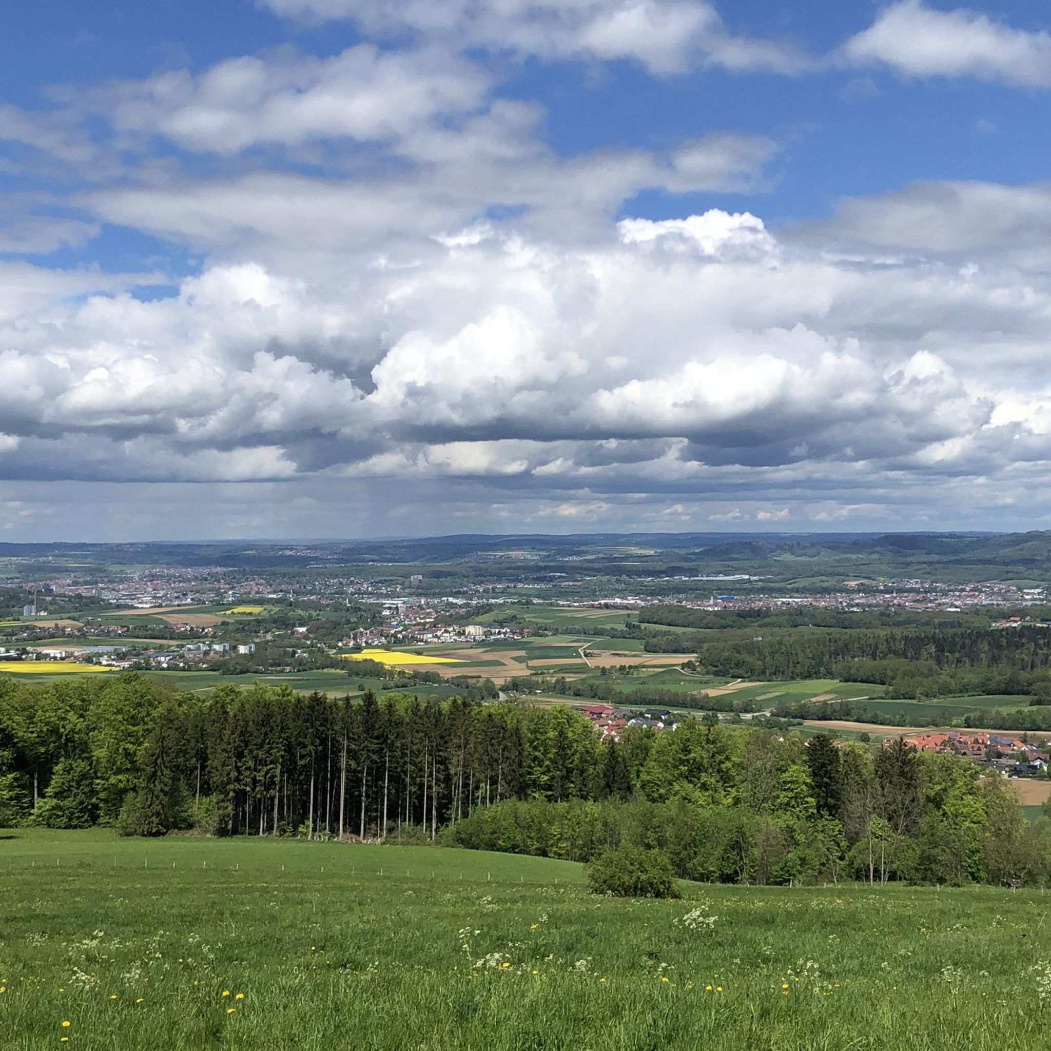
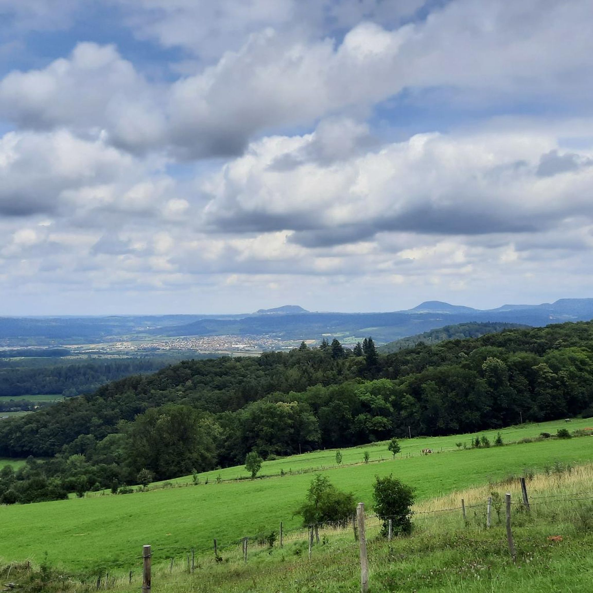
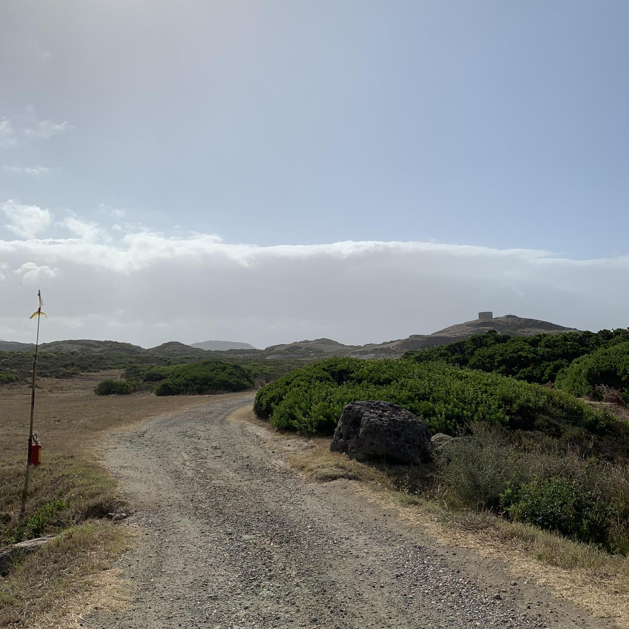
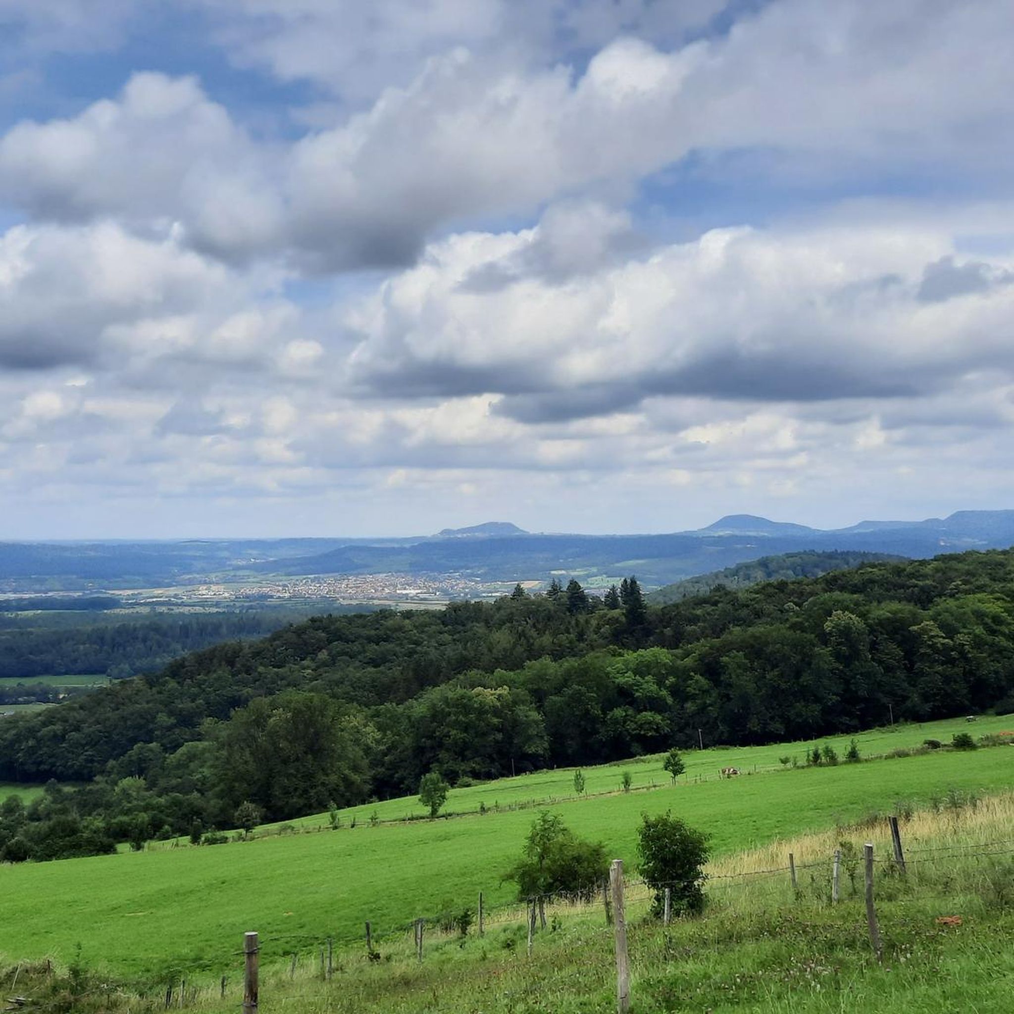

コミュニティからのヒント

Kleine Hausener Wandは、展望ポイントとしてもクライマーの間でも人気があります。正確な場所とアクセスについては、以下をご覧ください。https://www.thecrag.com/de/klettern/germany/schwaebische-alb/area/249677571
1
0


There is an ice cream machine here and it is worth stopping.
0
0

Beautiful view of a plain where the water flows the wrong way, i.e. into the Alb (towards the upper Fils).
0
0

Status 05/2025: Currently closed
0
0


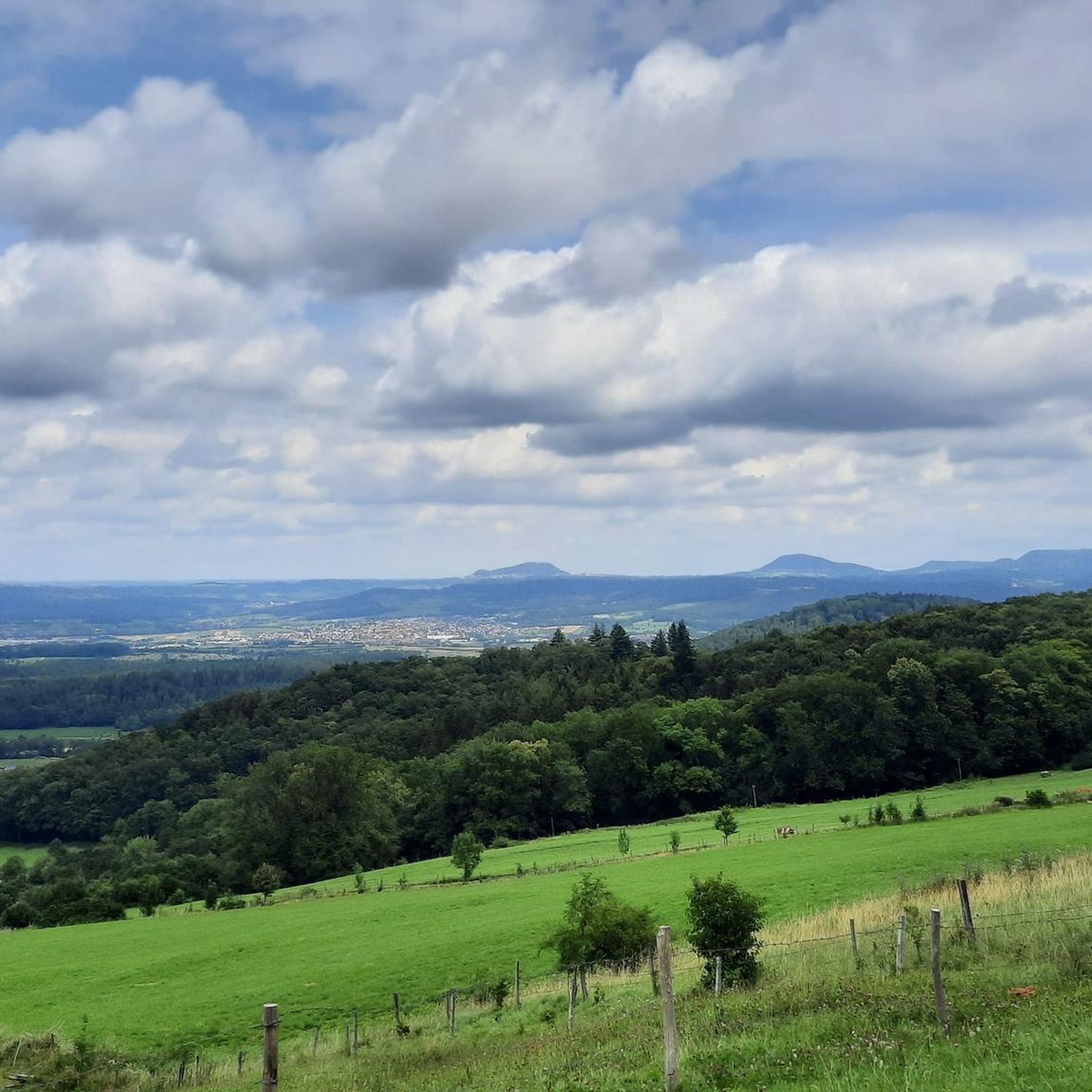
Great view at 760 m above sea level. You can see the entire trio (Hohenstaufen, Stuifen and Rechberg) in front of you.
9
1

Beautiful view of the plain and the surrounding hills.
0
1

komootモバイルアプリでインスピレーションを得よう


さらに探索
他の地域の最高のランニングトレイル & ルートを見てみましょう。
