ノイフェンのおすすめ登山&山歩きルート
3.0
(2)
35
ハイカー
12
ハイキング
エスリンゲンの山々をもっと探索しませんか?このガイドでご紹介するのは、komootがノイフェンでの登山&山歩きのコレクション全体を評価して選び抜いた、このエリアの人気ルートです。あなたに合ったルートを見つけるには、他のユーザーがアップロードした役立つ情報や写真を閲覧し、クリック操作で簡単に表示できる詳細なデータを参考にしましょう。ノイフェンでの次の冒険にぴったりの登山&山歩きルートが見つかるはずです。
最終更新日: 10月 5, 2026
1.0
(1)
11
ハイカー
7.39km
02:15
250m
250m
中程度の登山ルート. ある程度のフィットネスレベルが必要です。 進みやすいルートです。あらゆるスキルレベルに適しています。
2
ハイカー
11.3km
03:48
470m
470m
難しい登山ルート. ある程度のフィットネスレベルが必要です。 安定して歩行できる技術、丈夫な靴、高標高地での登山経験が必要です。

2
ハイカー
17.2km
05:37
700m
700m
難しい登山ルート. 標準以上のフィットネスレベルが必要です。 全般的に進みやすいルートです。安定して歩行できる技術が必要です。
5.0
(1)
6
ハイカー
2.64km
00:52
130m
130m
初級者向け登山ルート. あらゆるフィットネスレベルに適しています。 進みやすいルートです。あらゆるスキルレベルに適しています。
5
ハイカー
12.5km
04:06
570m
570m
中程度の登山ルート. ある程度のフィットネスレベルが必要です。 進みやすいルートです。あらゆるスキルレベルに適しています。
さらに多くのルートや他のユーザーのおすすめ情報を確認できます。
すでにアカウントをお持ちですか?
おすすめのツアーは他のkomootユーザーが実際に経験した何千ものアクティビティに基づいています。
無料アカウントで今日から始めよう
次の冒険が待っています。
ノイフェン周辺で人気
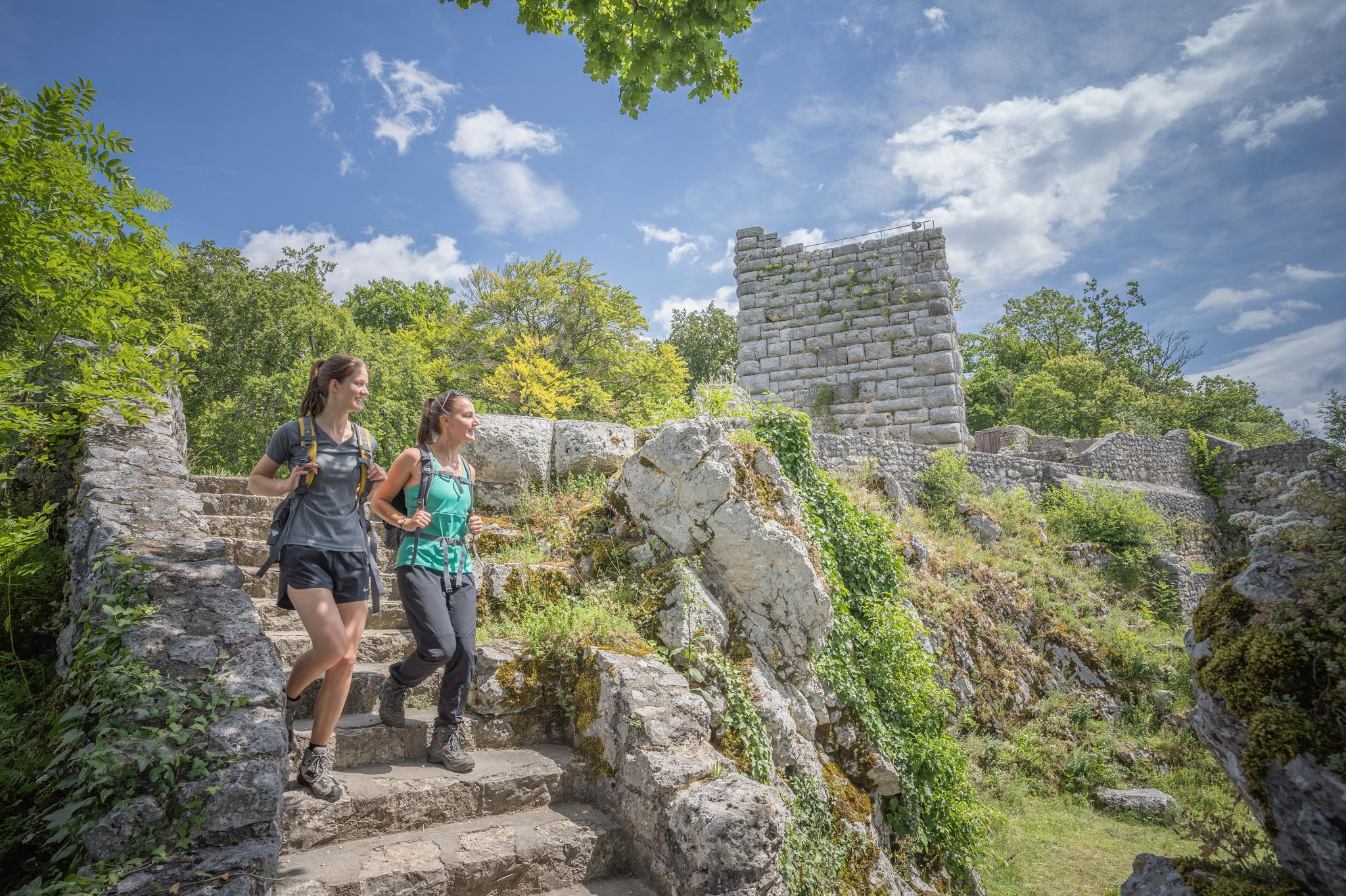
Culture with a view – hiking on the Hochgehbergen
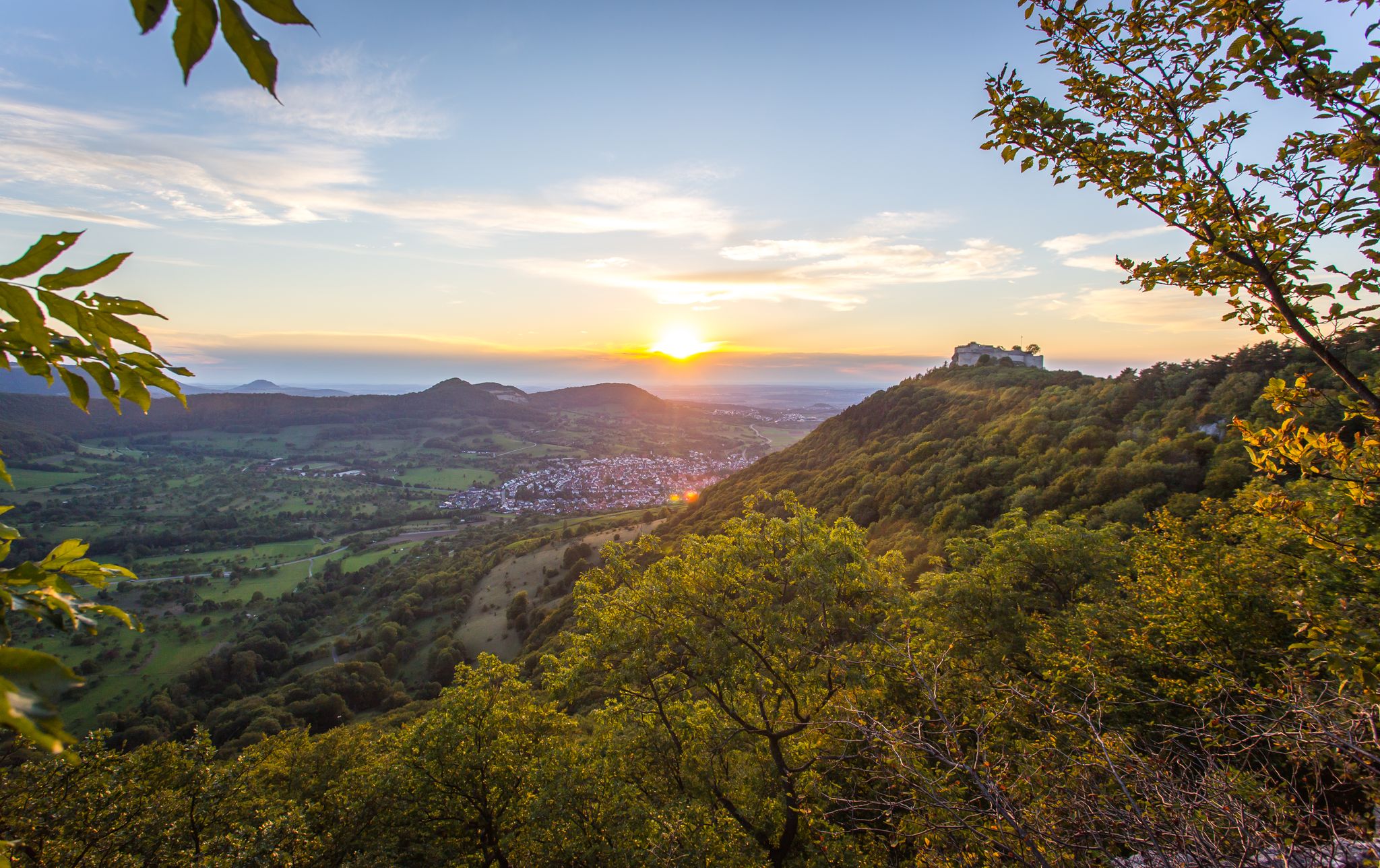
Beautifully high – castles in the Hochgehberge mountains
アルブルバークの強活話
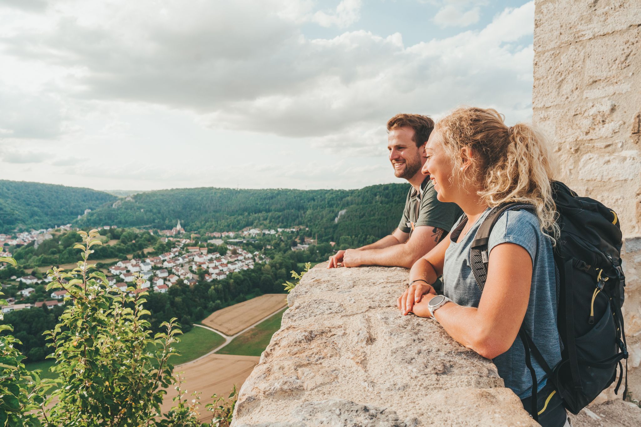
Hike Germany’s Swabian Alb – by bus and train
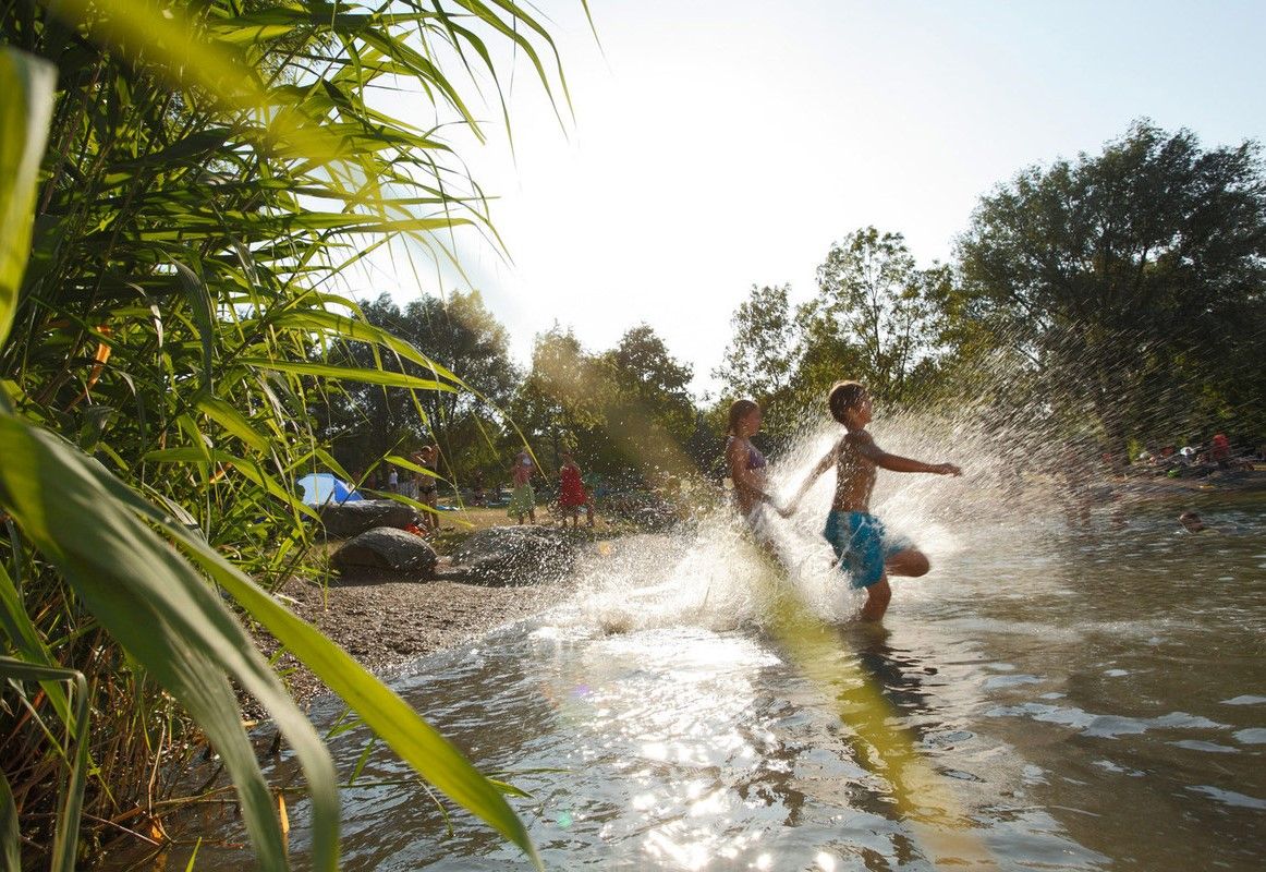
Refreshing summer hikes in Baden Wuerttemberg – bathing fun for the whole family
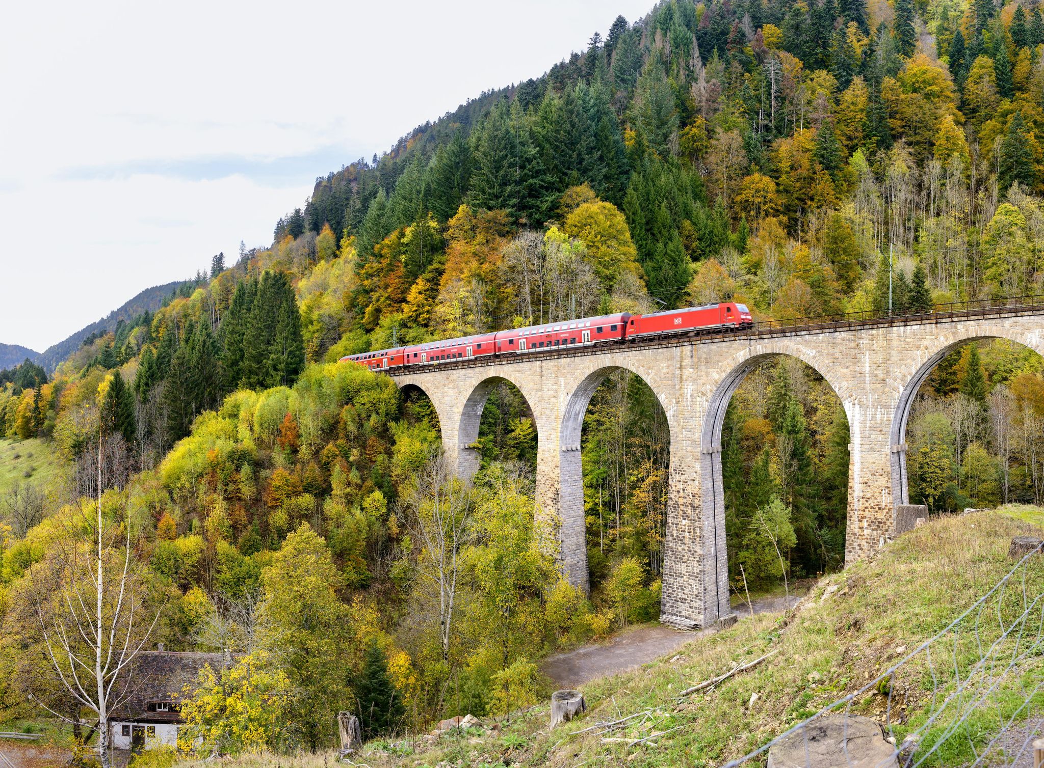
Into the countryside by bus and train – hiking in Germany’s large protected areas
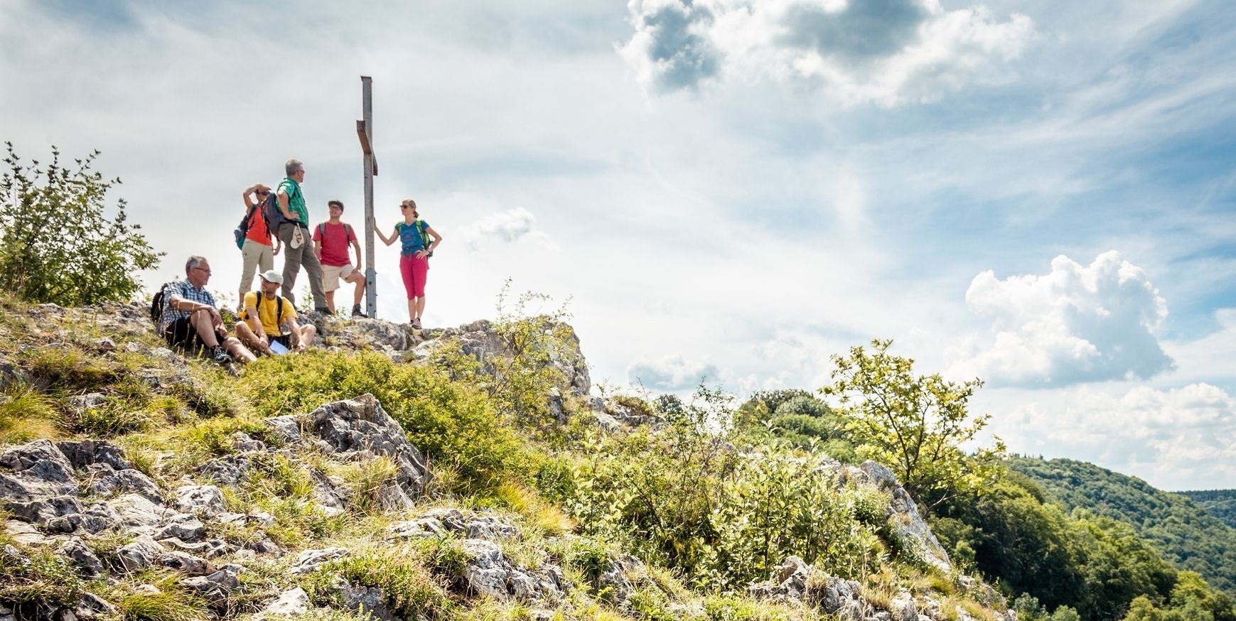
22 high mountain walks — hiking in the Swabian Alb
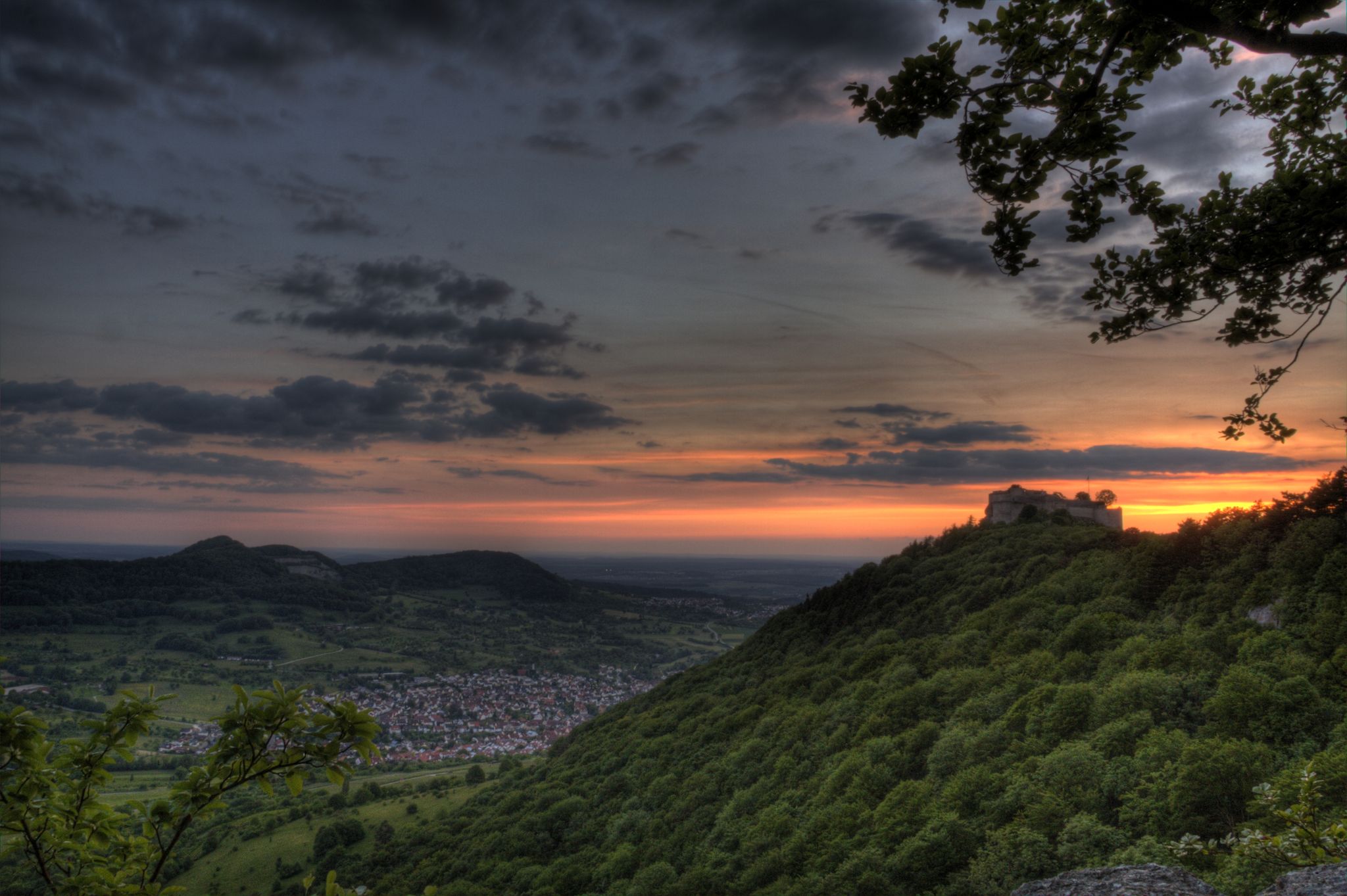
スワービア・ユーラの城と砦
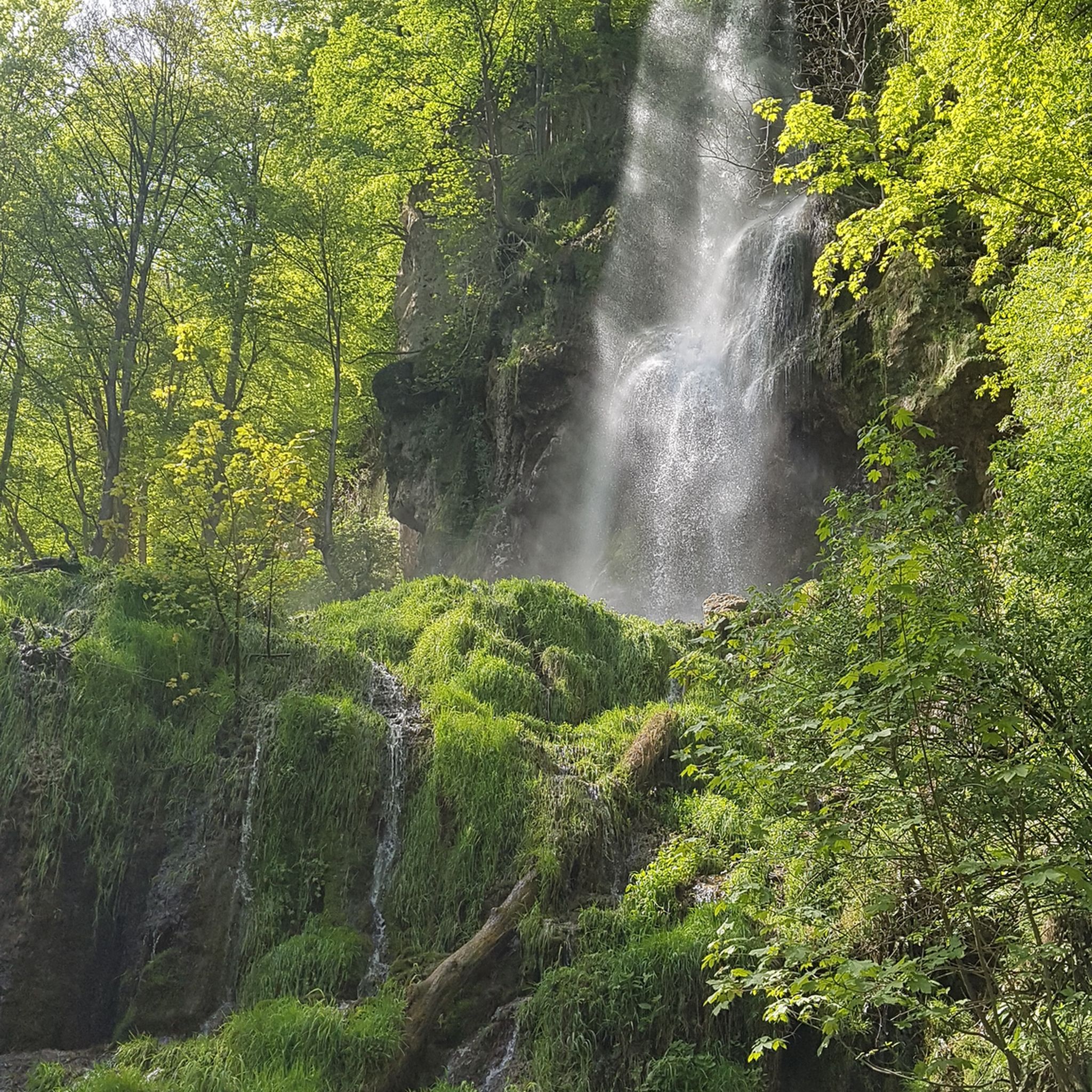
ノイフェンでのハイキング
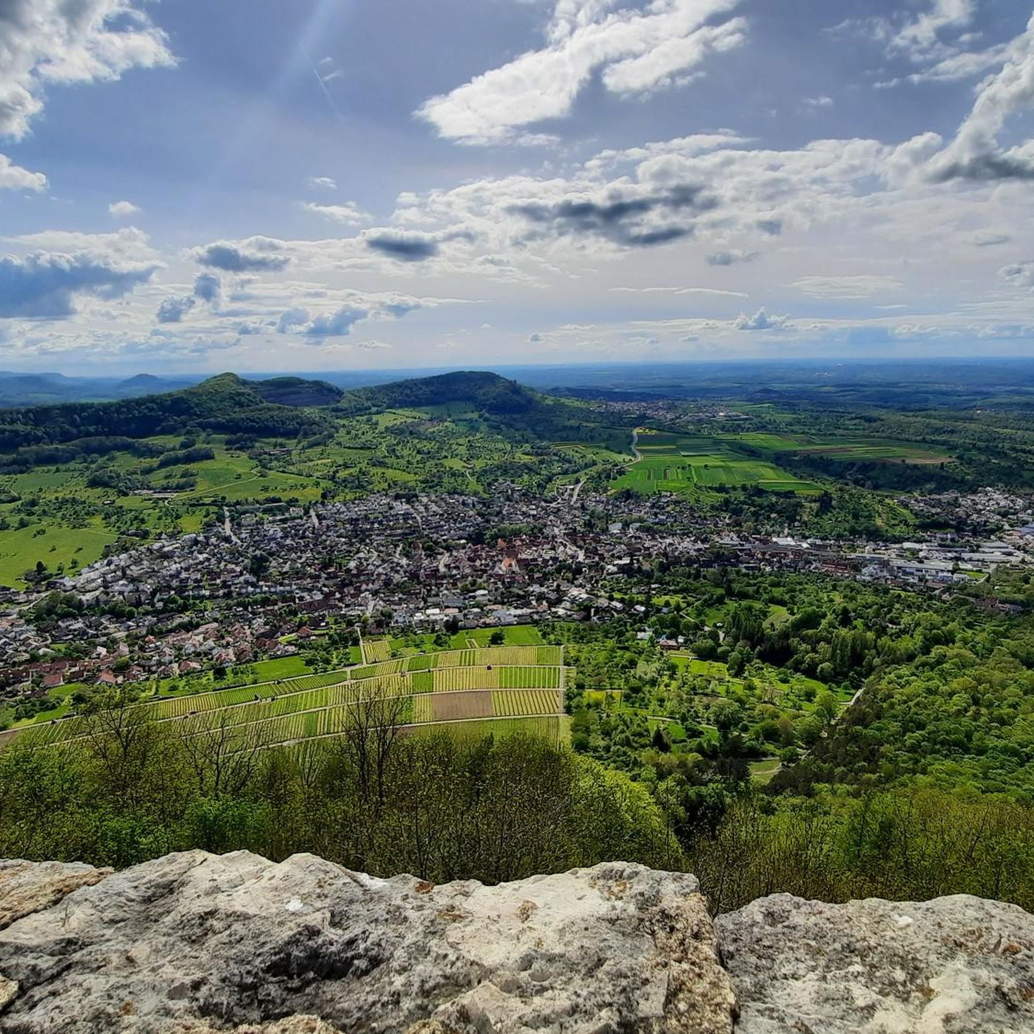
ノイフェンのロードバイクルート
ノイフェンでのの他の冒険


コミュニティからのヒント


Beautiful cycle path with great views of Breitenstein and, opposite, Teck Castle.
0
0

From almost everywhere you can see the Teck and the mighty Teck Mountain.
1
0


Breathtaking views of the Hohenneuffen and Beuren - postcard motifs guaranteed👍 You can easily reach the viewing platform on the rock on foot; it's best to park your bike a little in front of it, just after the hut.
0
0
The Beurener Fels is a "MUST" if you are traveling in this corner on foot or by MTB. The refuge offers shelter if you are caught in the rain and is in close proximity to the rock. A great hiking path and MTB trail leads from the rock down into the valley to the sand pit and the Beuren open-air museum. The trail with its bends is easy to navigate on an MTB even for advanced beginners with concentration, will and courage.
0
0
For MTB enthusiasts a great, quite technical but not too difficult descent as long as you have basic riding skills and balance on the bike. Not recommended on weekends when the weather is good, as there is “high rotation” with hikers and walkers as this is an official hiking trail. It's narrow in places, so there are no alternatives - a not inconsiderable unnecessary risk for everyone involved and definitely trouble. Much more relaxed during the week👍
0
0


komootモバイルアプリでインスピレーションを得よう


さらに探索
他の地域の最高の登山ハイキング & ルートを見てみましょう。
