シュタインマウアーンのおすすめランニングルート
4.5
(9)
286
ランナー
34
ランニング
シュタインマウアーンでランニングを楽しめば、このエリアをより深く知ることができます。ランニングに適した美しいルートが見つかるように、komootがシュタインマウアーンでのルートのコレクション全体を評価して選び抜いた、人気ランニングトレイルをご紹介します。ルートをクリックして詳細を表示し、他のユーザーがアップロードした役立つ情報や写真を閲覧しましょう。
最終更新日: 10月 26, 2026
51
ランナー
11.0km
01:08
20m
20m
中程度のジョギング. ある程度のフィットネスレベルが必要です。 ほとんどが舗装路です。
5.0
(1)
22
ランナー
8.53km
00:53
10m
10m
中程度のジョギング. ある程度のフィットネスレベルが必要です。 ほとんどが舗装路です。

23
ランナー
5.73km
00:35
10m
10m
中程度のジョギング. ある程度のフィットネスレベルが必要です。 ほとんどが舗装路です。
5.0
(1)
6
ランナー
10.6km
01:05
10m
10m
中程度のジョギング. ある程度のフィットネスレベルが必要です。 ほとんどが舗装路です。
7
ランナー
4.80km
00:30
0m
0m
初級者向けランニング. ほとんどが舗装路です。
さらに多くのルートや他のユーザーのおすすめ情報を確認できます。
すでにアカウントをお持ちですか?
おすすめのツアーは他のkomootユーザーが実際に経験した何千ものアクティビティに基づいています。
無料アカウントで今日から始めよう
次の冒険が待っています。
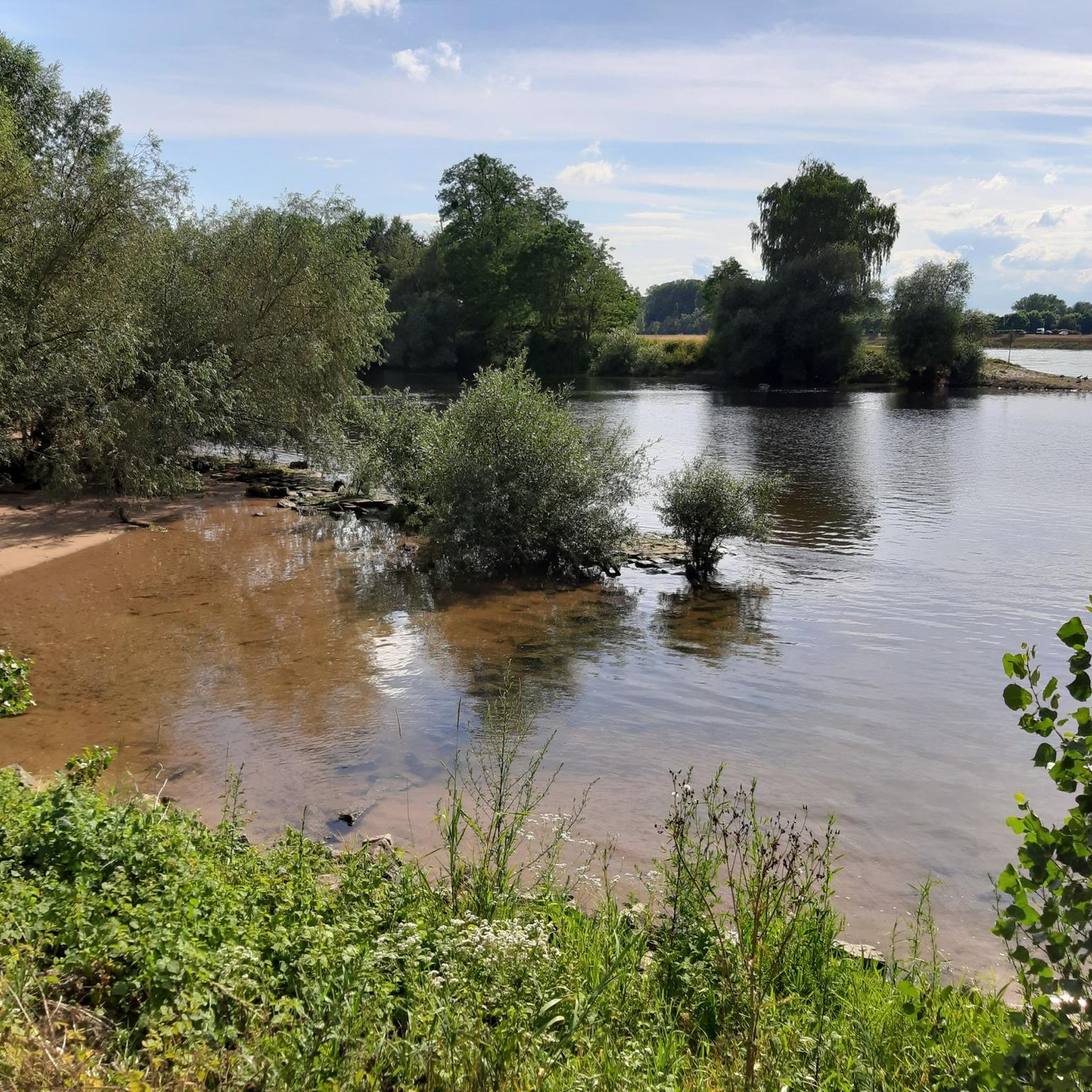
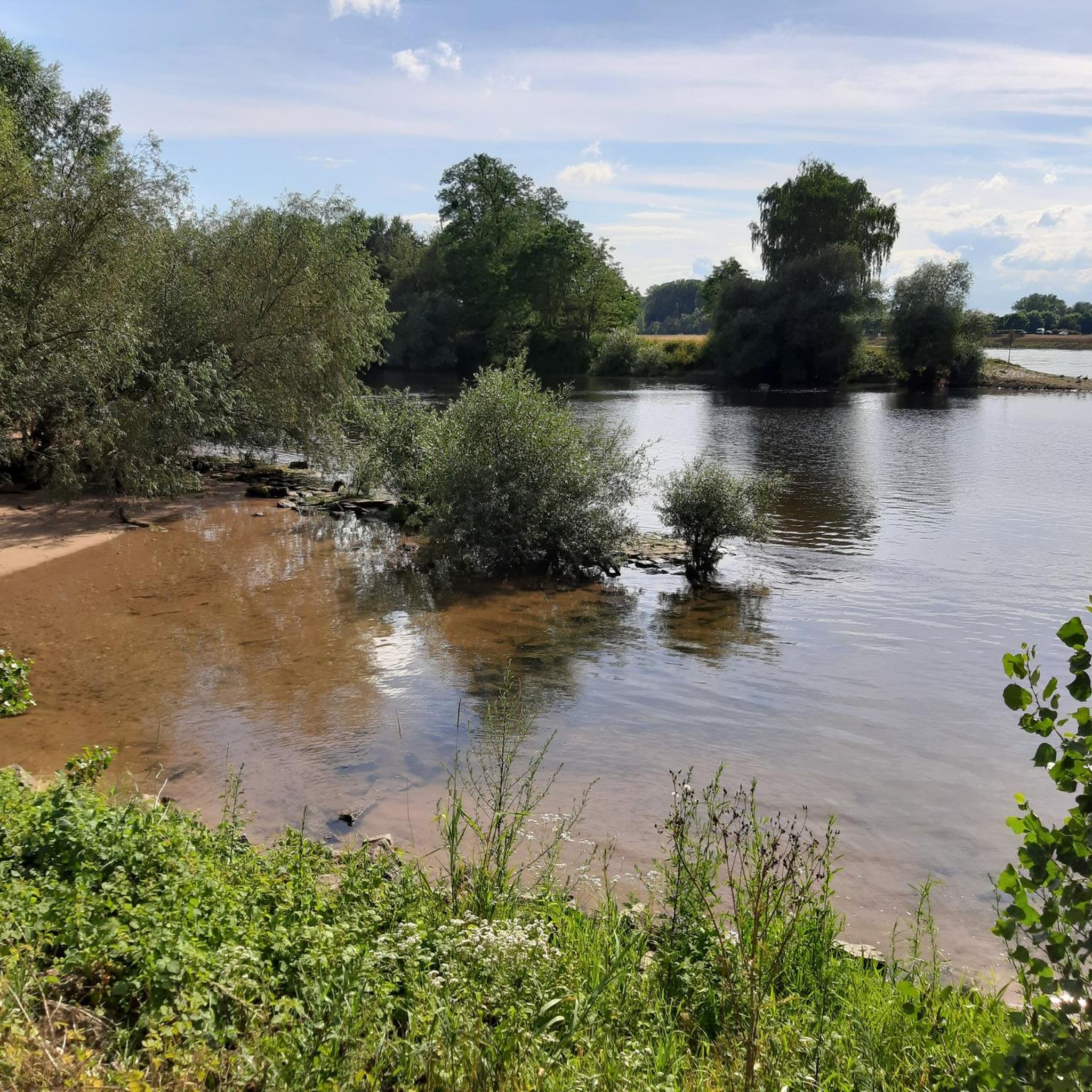
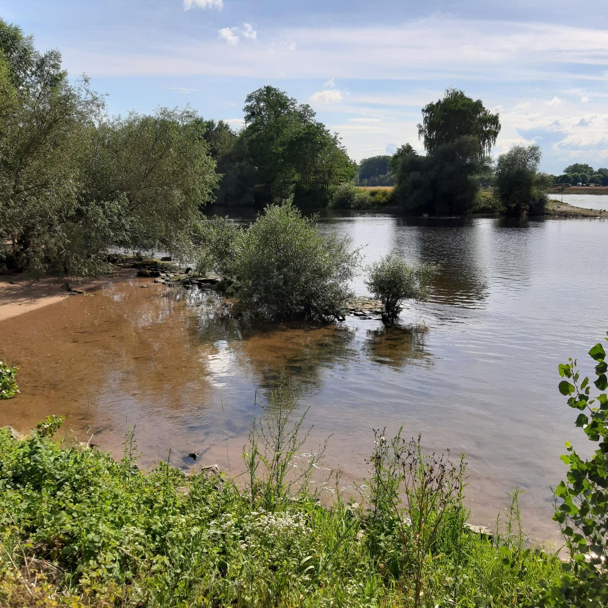
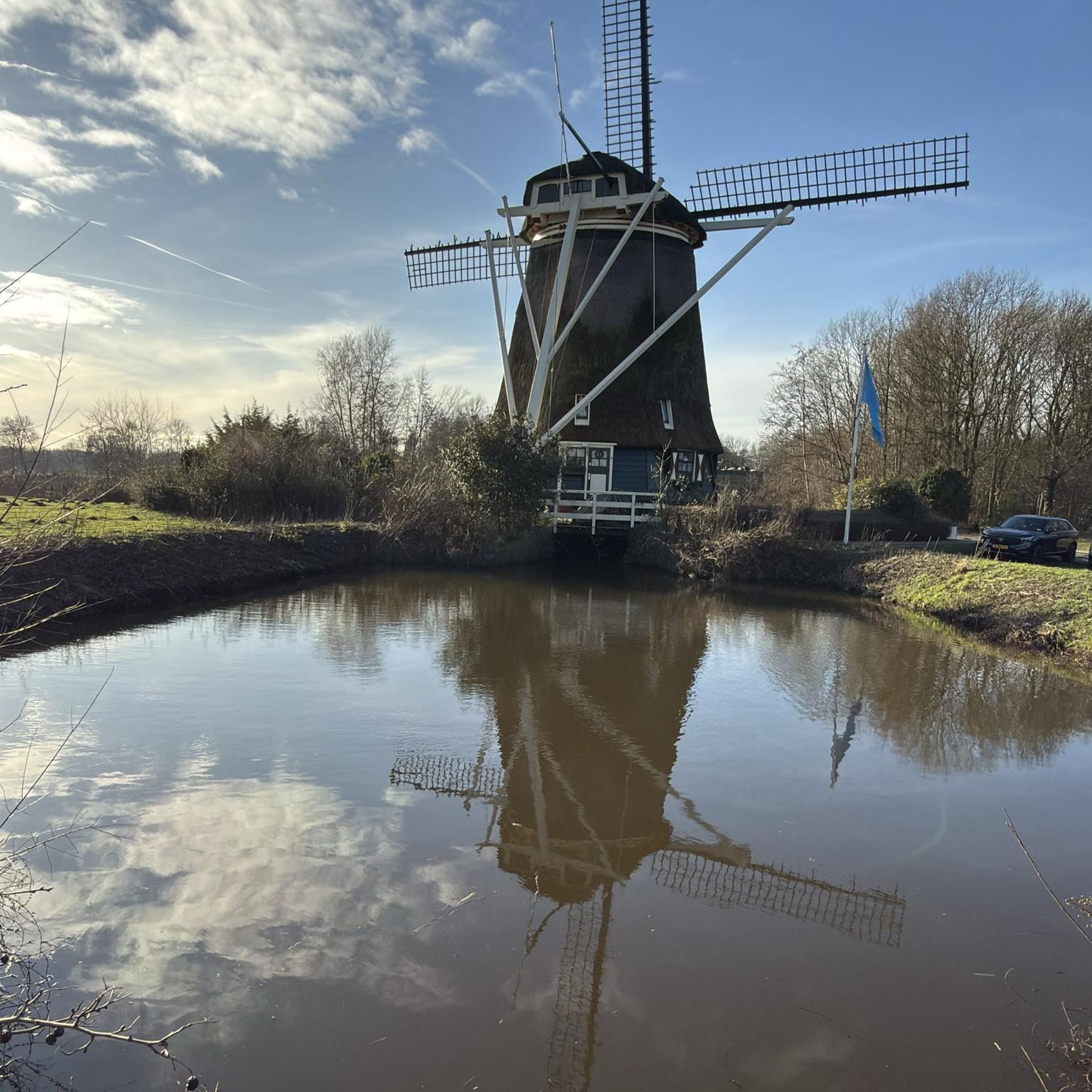

コミュニティからのヒント


1714年、この居城はヨーロッパの歴史が刻まれた舞台となりました。ラシュタットの和は、1701年からすべての主要なヨーロッパ大国が関与していたスペイン継承戦争に終止符を打ちました。
1
0

Mercury is on the left and the flat Battert is on the right.
0
1

There are also nice seating areas and a bakery for snacks.
4
0

A nice informative place for a break.
2
0

A raftsman at work, but only made of wood
2
0

The name Riedkanal is derived from the term Ried for the area around today's Rastatt districts of Ottersdorf, Plittersdorf, and Wintersdorf. The initiative to build the Riedkanal came from the Murg District Directorate in 1812. The plan was to build a canal between Iffezheim and the mouth of the Murg, draining 32 km² of land and making it suitable for agriculture. The canal was designed to accommodate a discharge of 2 to 3 m³/s near Iffezheim and 20 m³/s at the mouth. In April 1817, the communities of Iffezheim, Sandweier, Wintersdorf, Ottersdorf, Plittersdorf, and Rastatt founded a rival association, which began building the Riedkanal in 1827. Completed several years later, the canal flowed into the Murg from the left opposite Steinmauern. The rival association was dissolved in 1906 because the distribution of the canal's maintenance costs was considered unfair. In the following years, the municipalities maintained their respective portions of the riverbank, which led to the canal being severely neglected until 1933. In 1933, the Riedkanal-Zweckverband (Ried Canal Association), which still exists today, was founded. By 1938, the current mouth of the Rhine was built, reducing the water level during floods. The culvert under the Murg was financed by the state of Baden. It is 112 meters long, consists of two pipes, each with a cross-sectional area of 4.3 m², and can drain up to 25 m³/s of water.[11] In addition, the canal was deepened and supplemented with drainage ditches, which became popularly known as "Schnakengräben" (snakes' ditches). The pumping station near Steinmauern was built in the 1960s. It is equipped with four pumps; Two pumps lift 3 m³/s of water each from the Riedkanal during Rhine floods, while the other two pumps, with 1.5 and 0.5 m³/s respectively, are responsible for the Altmurg. Source: Wikipedia - Riedkanal (Upper Rhine) w.wiki/_pZxz
1
0

シュタインマウアーンでのの人気観光スポット

komootモバイルアプリでインスピレーションを得よう


さらに探索
他の地域の最高のランニングトレイル & ルートを見てみましょう。
