タルンのおすすめランニングルート
4.4
(595)
28,764
ランナー
2,110
ランニング
タルンでランニングを楽しめば、このエリアをより深く知ることができます。ランニングに適した美しいルートが見つかるように、komootがタルンでのルートのコレクション全体を評価して選び抜いた、人気ランニングトレイルをご紹介します。ルートをクリックして詳細を表示し、他のユーザーがアップロードした役立つ情報や写真を閲覧しましょう。
最終更新日: 9月 26, 2026
4.8
(4)
127
ランナー
7.90km
01:04
290m
290m
Challenging 4.9-mile jogging loop to the historic Oppidum de Berniquaut with panoramic views over Sorèze and the Montagne Noire.
3.0
(2)
128
ランナー
17.2km
01:54
230m
230m
難しいジョギング. 標準以上のフィットネスレベルが必要です。 全般的に進みやすいルートです。一部で、安定して歩行できる技術が必要です。

4.8
(6)
113
ランナー
17.4km
02:19
510m
510m
This difficult 10.8-mile (17.4 km) jogging loop from Penne offers stunning views of medieval castles and the Aveyron gorges.
5.0
(2)
115
ランナー
6.70km
00:42
40m
40m
Jog the 4.2-mile (6.7 km) Lake Roucarié Loop Trail, a moderate route with 122 feet (37 metres) of elevation gain around a scenic lake.
4.7
(3)
115
ランナー
5.61km
00:35
30m
30m
This moderate 3.5-mile (5.6 km) jogging loop around Lac de la Balerme offers serene wooded landscapes and open views near Toulouse.
5.0
(5)
25
ランナー
15.5km
01:57
500m
500m
This difficult 9.6-mile jogging loop in Montagne Noire offers 1641 feet of elevation gain and panoramic views of the Alps.
3.8
(4)
20
ランナー
10.9km
01:22
240m
240m
The Labastide-Vassals loop trail from Saint-Grégoire is a moderate 6.7-mile (10.9 km) jogging route featuring historical ruins and varied te
4.3
(3)
17
ランナー
15.6km
02:00
460m
460m
難しいジョギング. 標準以上のフィットネスレベルが必要です。 安定して歩行できる技術、丈夫な靴、高標高地での登山経験が必要です。
9
ランナー
18.2km
02:18
530m
530m
This difficult 11.3-mile (18.2 km) jogging route in Hautes-Terres d'Oc offers varied terrain and stunning natural scenery.
4
ランナー
Jogging the difficult 10.5-mile (16.8 km) Trail of the Three Passes in Haut-Languedoc offers 1903 feet (580 metres) of elevation gain and di
さらに多くのルートや他のユーザーのおすすめ情報を確認できます。
すでにアカウントをお持ちですか?
おすすめのツアーは他のkomootユーザーが実際に経験した何千ものアクティビティに基づいています。
無料アカウントで今日から始めよう
次の冒険が待っています。
タルン周辺で人気
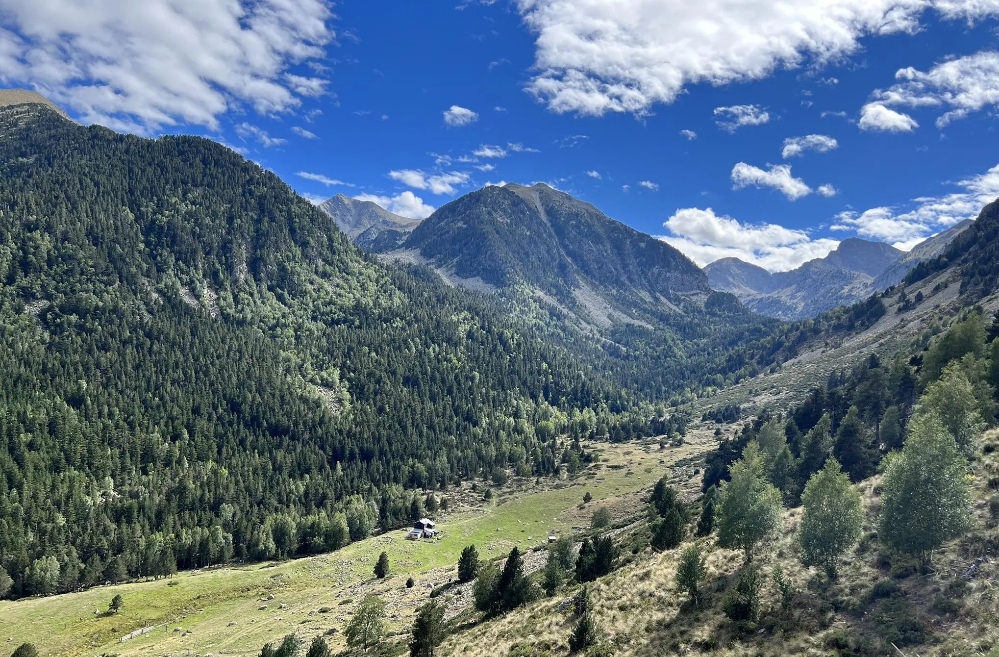
チャンネルからピレネー山脈までのフランスを横断 – GR 36の長距離歩道

セベンヌからピレネ山脈まで - ヘクサトレックは峡谷と石灰石台地の間
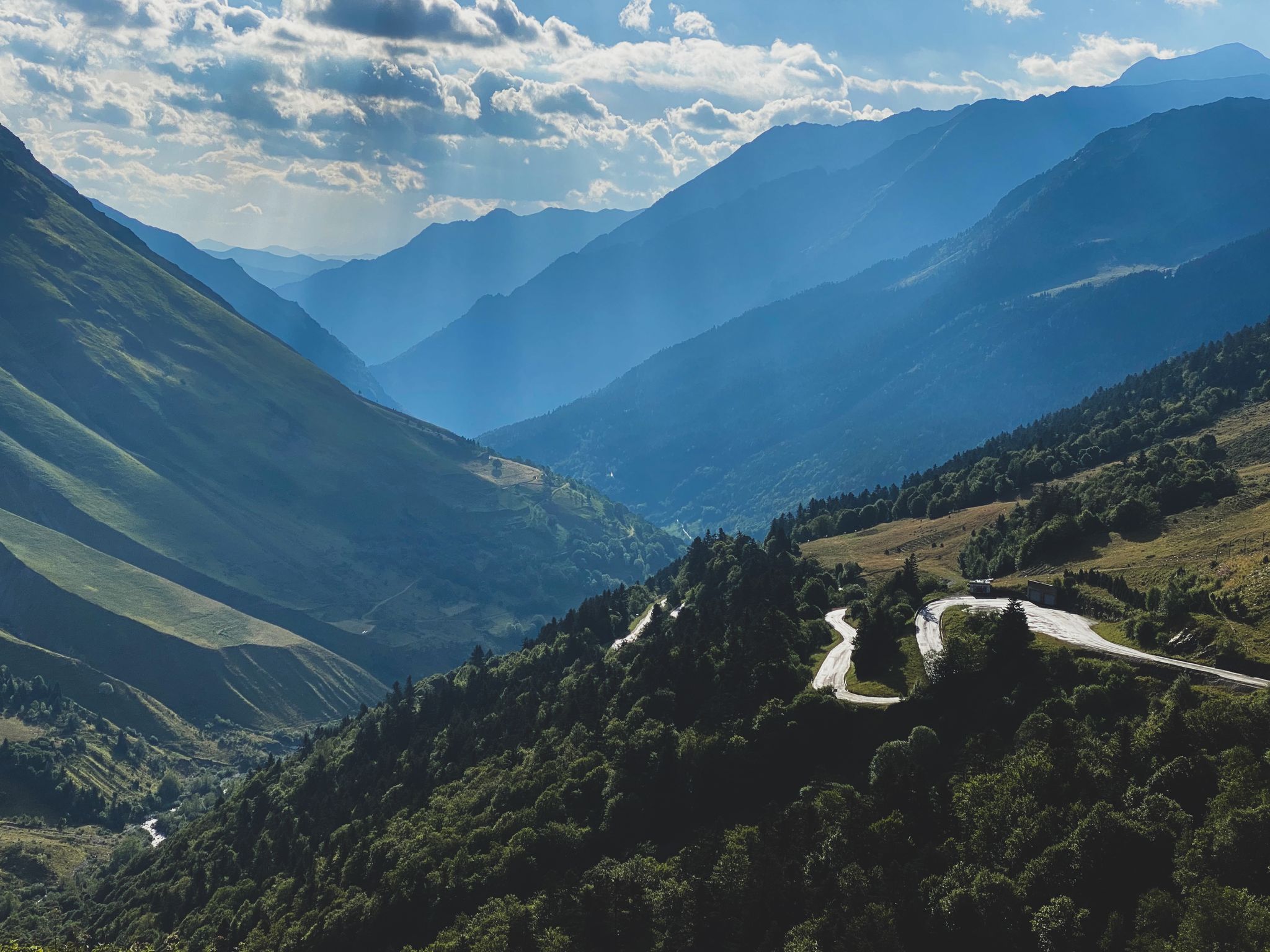
Born to Ride 2020
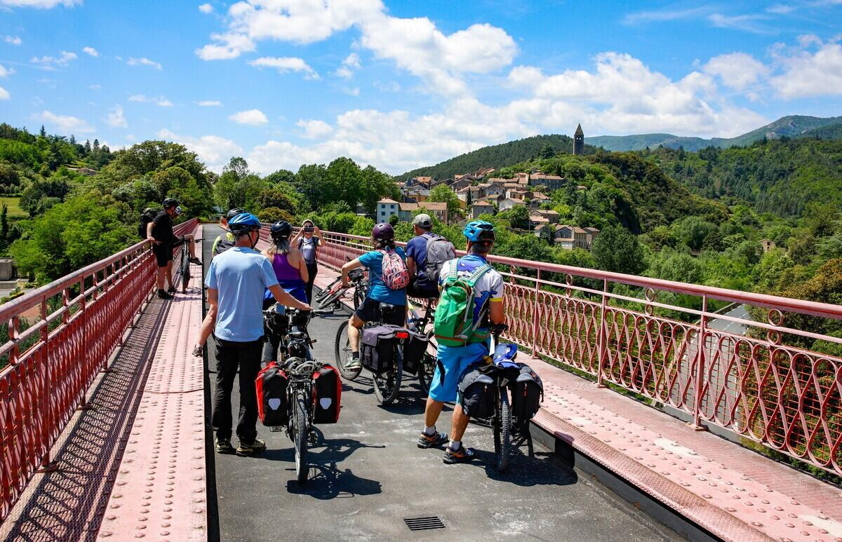
Loops between Toulouse and Mazamet – the special liO bike train
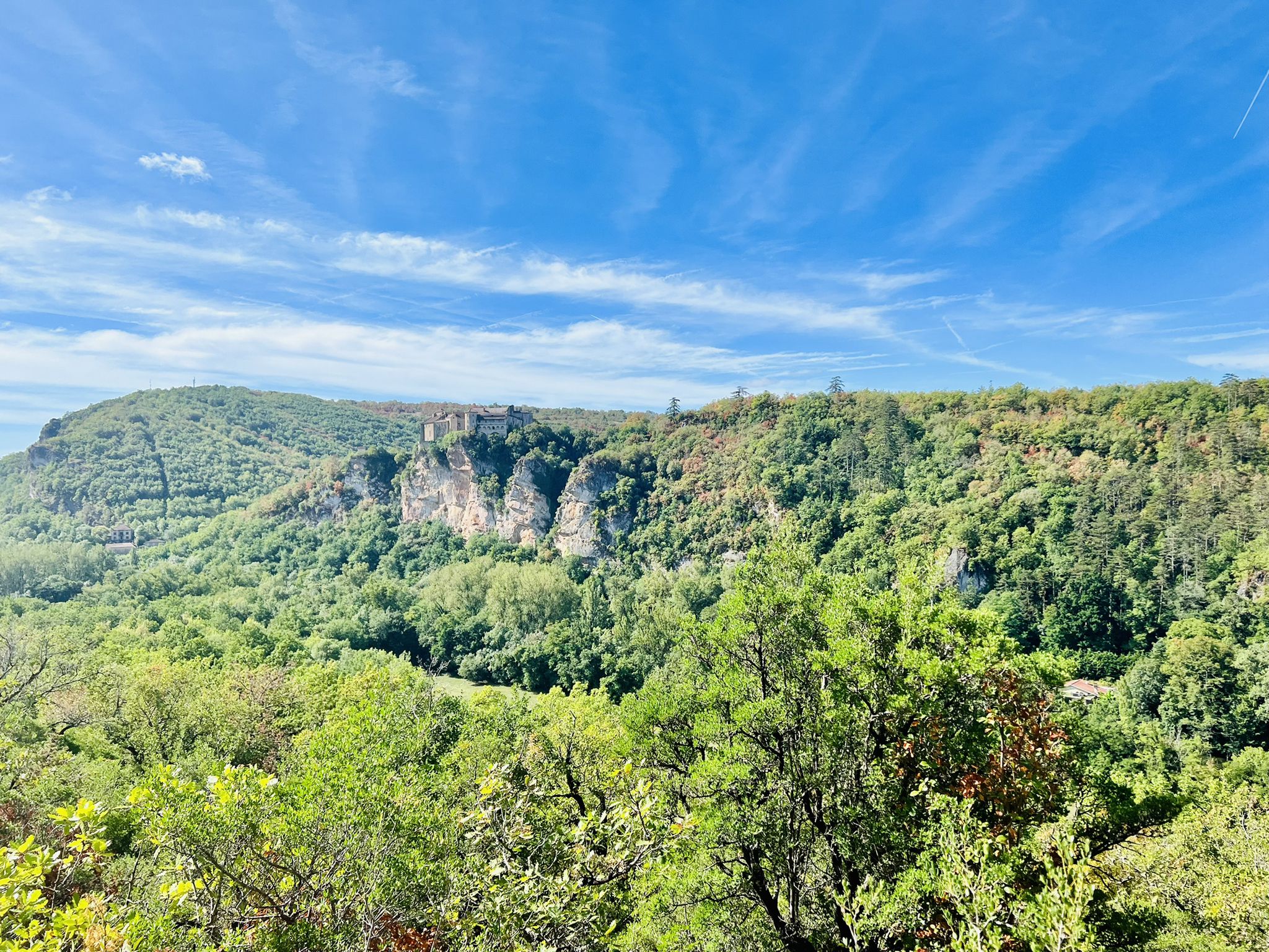
GR 46 — サボタージュ
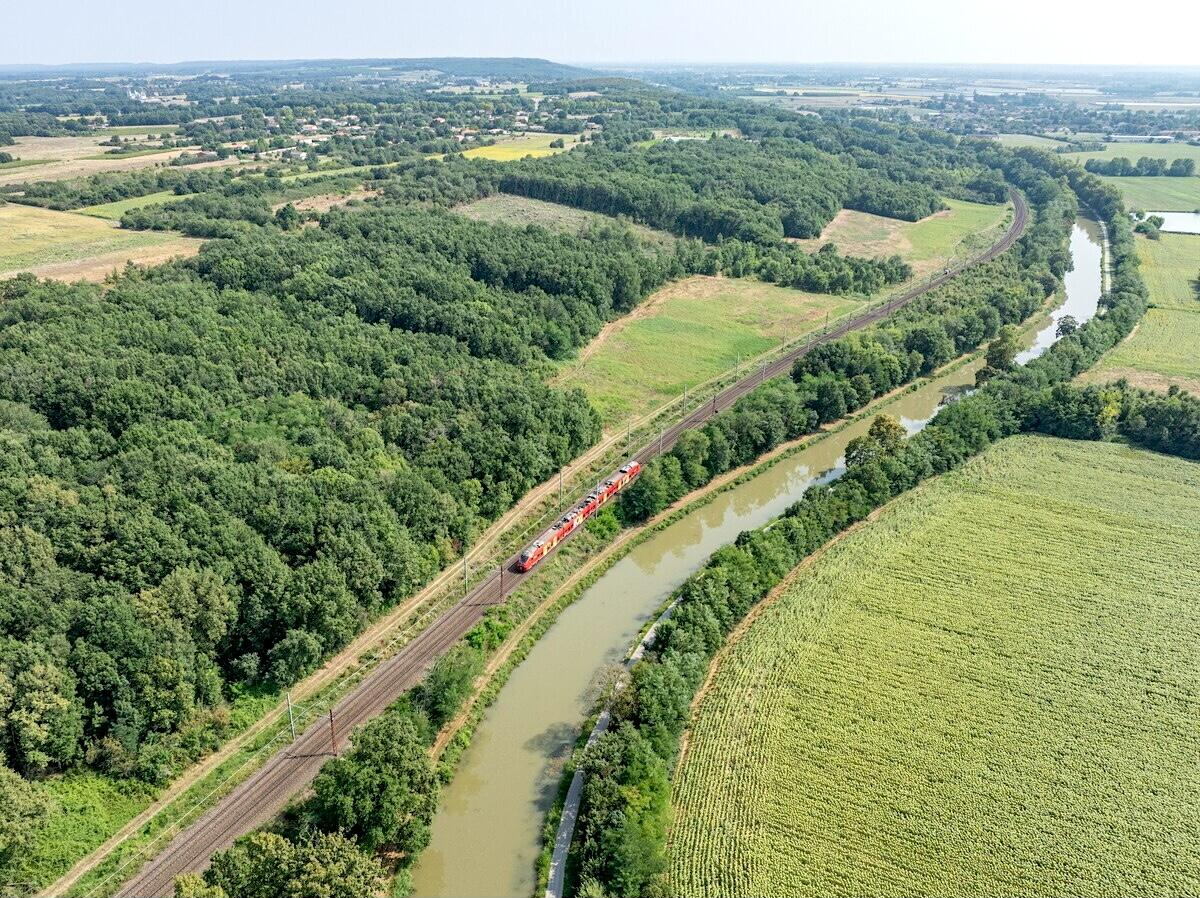
Rides between Toulouse and Figeac – liO train for bicycle transport
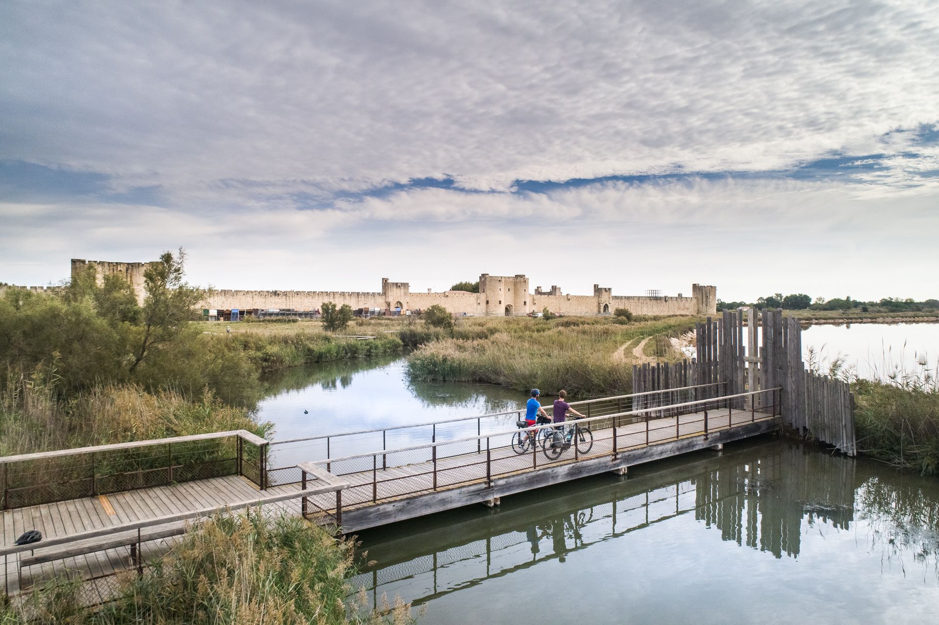
The most beautiful bike rides in Occitanie
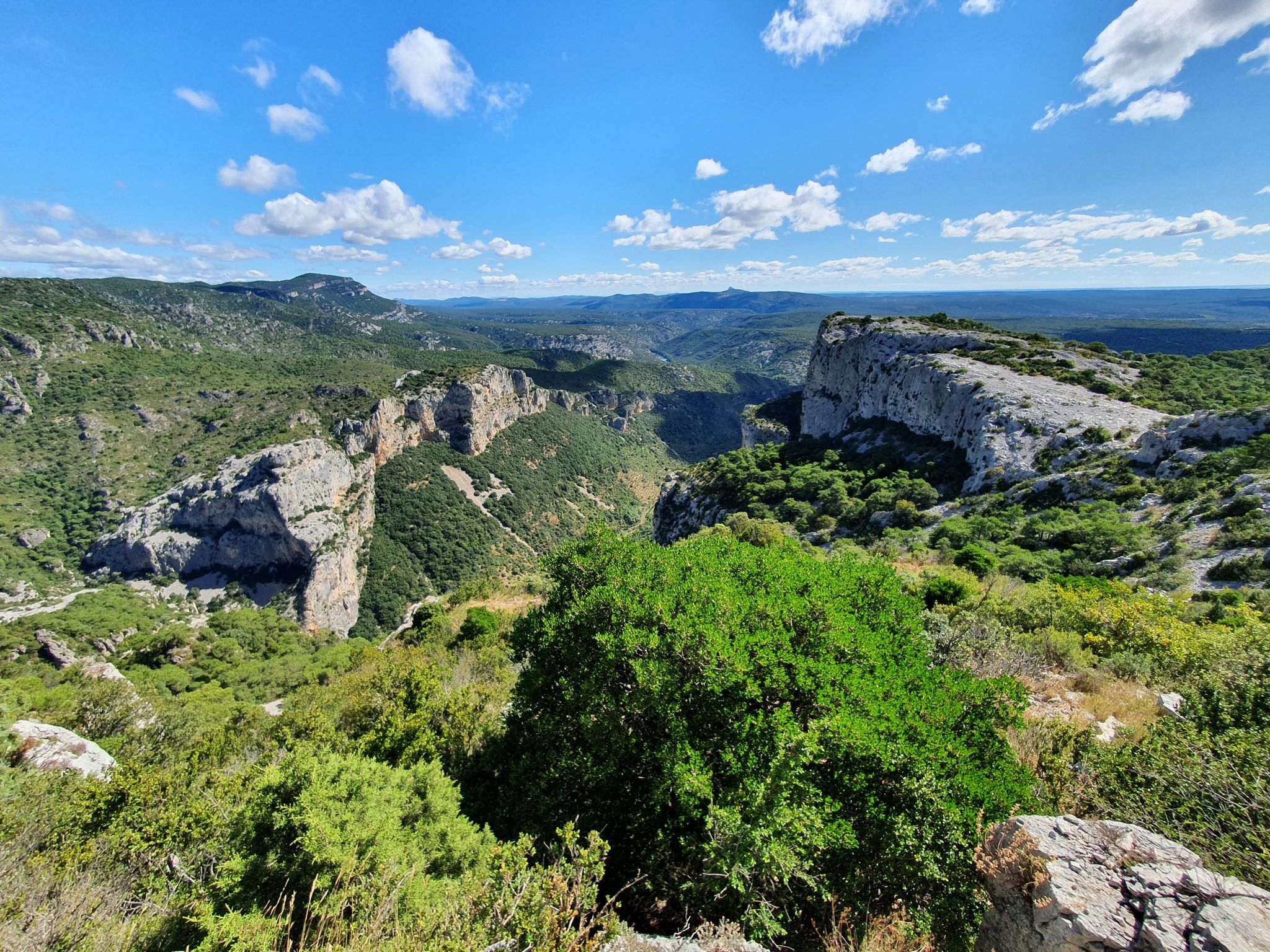
コンポステラへの道 – ビア・トロサナ (アルルの道)
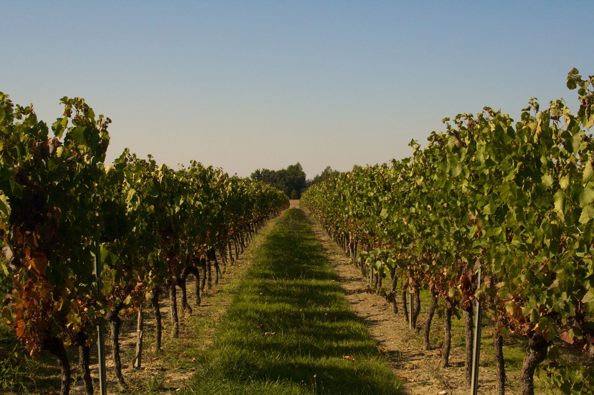
バスティードのループとガイヤック葡萄園 - デギスタションとマウンテンバイク
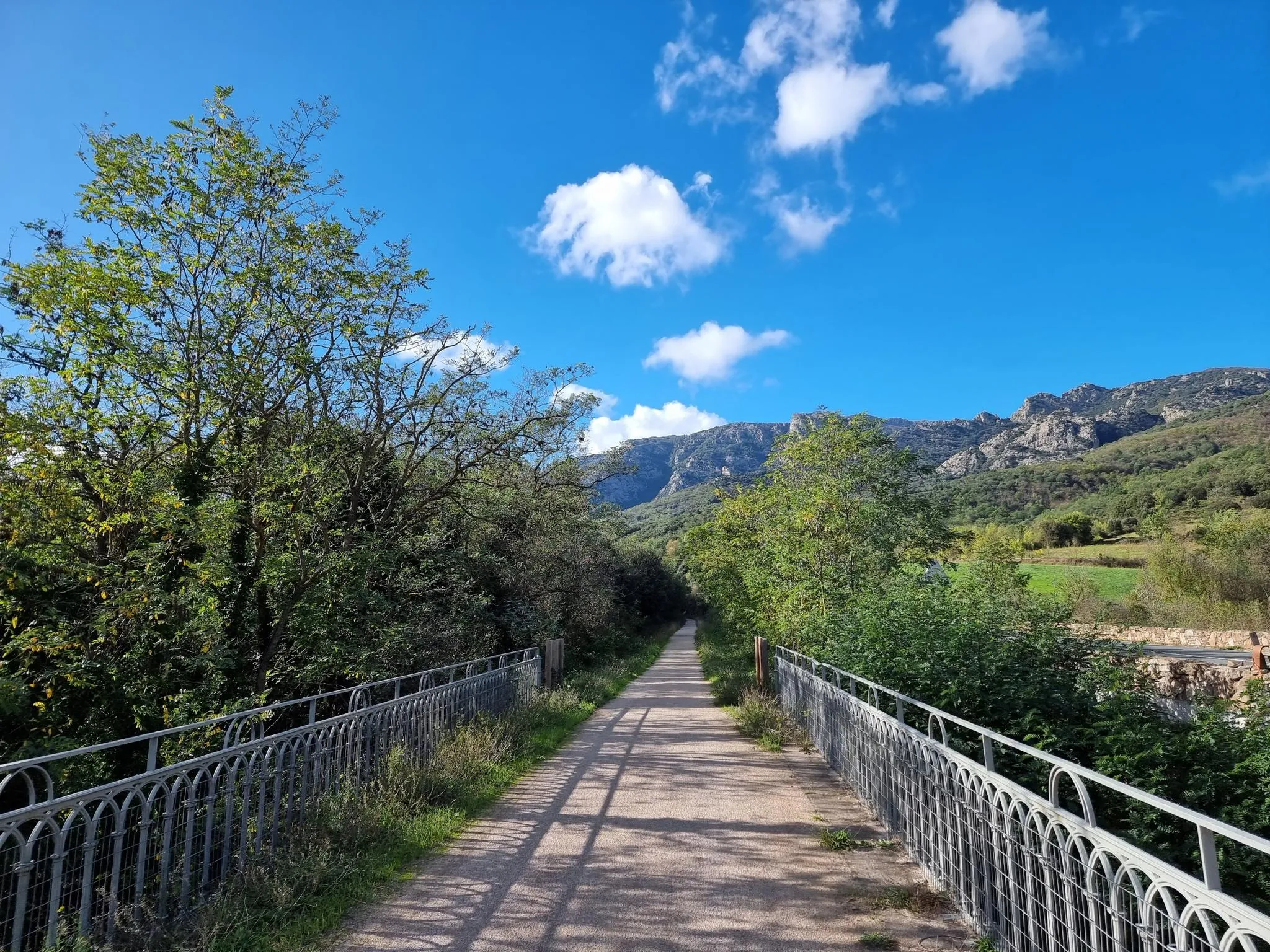
真昼の太陽の下で — La Véloccitanie
タルンでのの他の冒険


コミュニティからのヒント

La percée des Cammazes(ラ・ペルセ・デ・カマゼ)、別名ヴォーバン・ヴォールトまたはカマゼ・トンネルは、1686年から1688年の間に建設された長さ122メートル、幅3メートルのアーチ型トンネルで、山の水路がサン・フェレオル貯水池に到達できるようにしています。広大なミディ運河の構成要素の一部として、1996年からユネスコ世界遺産に登録され、1997年には歴史的建造物に登録されました[1]。1686年3月5日の覚書でヴォーバンによって設計され、モンターニュ・ノワールの水路の水をソール渓谷からローデ渓谷へ、「エスカマスの山の尾根」の下を通すためのものでした。かつてこのプロジェクトを検討していたピエール=ポール・リケは1680年に亡くなっています。(Wikipedia)
0
0

A slightly more extensive photo gallery with further pictures of this beautifully situated pond has been uploaded by hikers to the (sport-related) highlight; their pictures of "Lac de Cammazes" can be accessed via the following link =>> https://www.komoot.com/de-de/highlight/5578133
0
0


This stunning hilltop village, with it's old castle literally balanced atop the rock dominates the area and Aveyron river below it. You can take guided visits of the Castle at the top, and the village itself has a few cafes among it's labyrinth of narrow streets.
0
0

Classified as a charming village, Penne has retained its authenticity with its narrow streets lined with half-timbered houses and corbels, its old grain measures, its andrones, its mullioned windows and Louis XIII doors.
0
0

The Gante dolmen is one of the countless remains dating from the Neolithic period in the Massif Central.
0
0
タルンでのの人気観光スポット

komootモバイルアプリでインスピレーションを得よう


さらに探索
他の地域の最高のランニングトレイル & ルートを見てみましょう。
